Pros & cons
PROS
- Often quieter than the busy Loop Road pullouts despite easy access
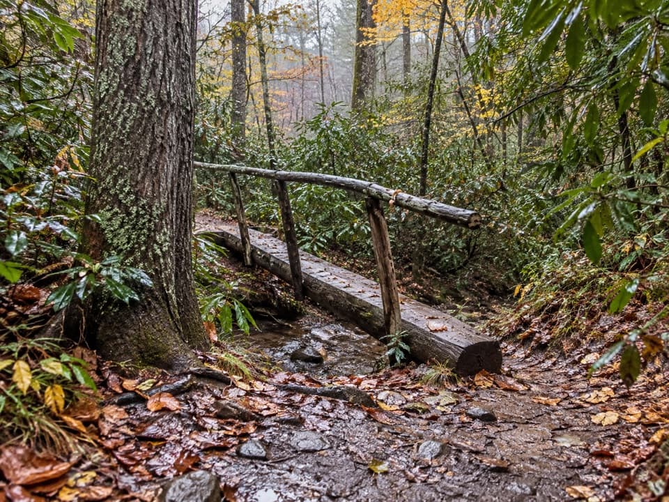
- Footbridge over a shallow creek adds a kid-friendly highlight
CONS
- Reaching the trail requires the slow, congested one-way Loop Road
- Not stroller or wheelchair friendly due to natural surfaces and grades
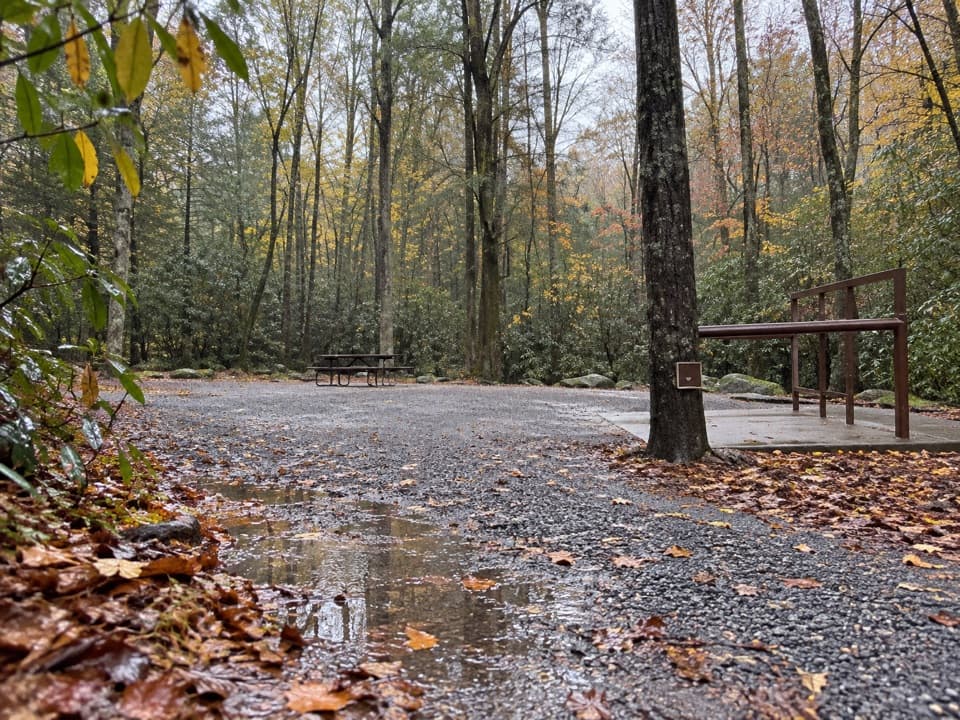
Along Cades Cove Loop Road about 7 miles in, just past the Cades Cove Visitor Center; small pullout parking. Expect slow traffic and ensure you have a park parking tag.
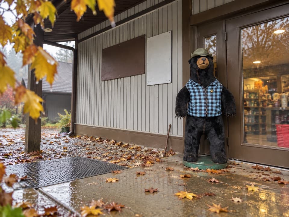
Black bears are common—keep distance and never feed wildlife. Loop Road traffic can crawl, especially during “bear jams.” Use the footbridge at the creek; rocks can be slick. No dogs.
Overview
This is a short, low‑stress forest loop right off the Cades Cove Loop Road. Expect an easy stroll with a brief incline at the start for some hikers, plenty of shade, and a mellow vibe away from the busiest pullouts. Consensus puts the loop at about 2.0 miles total, though some guides list it shorter; plan 30–60 minutes at a relaxed pace.
What You’ll See
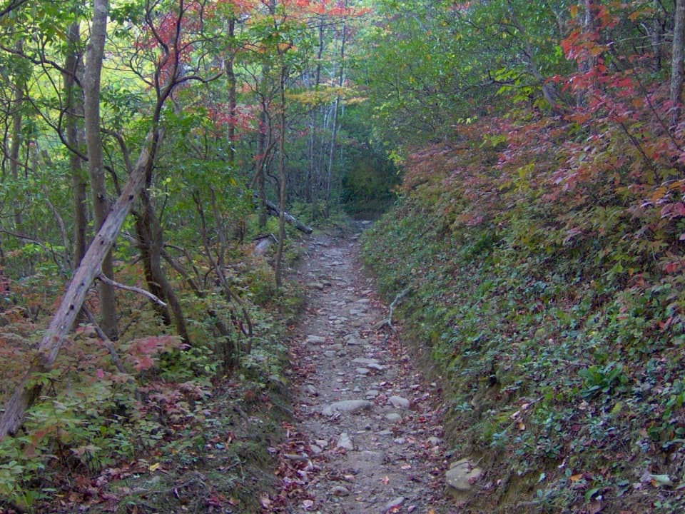
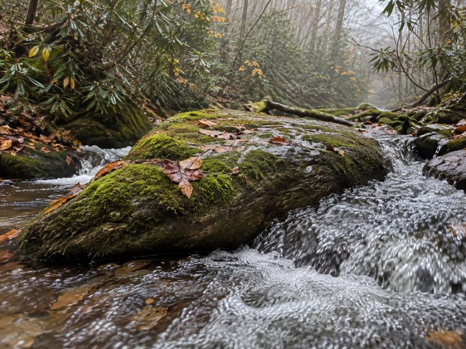
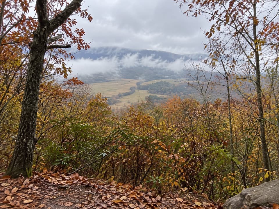
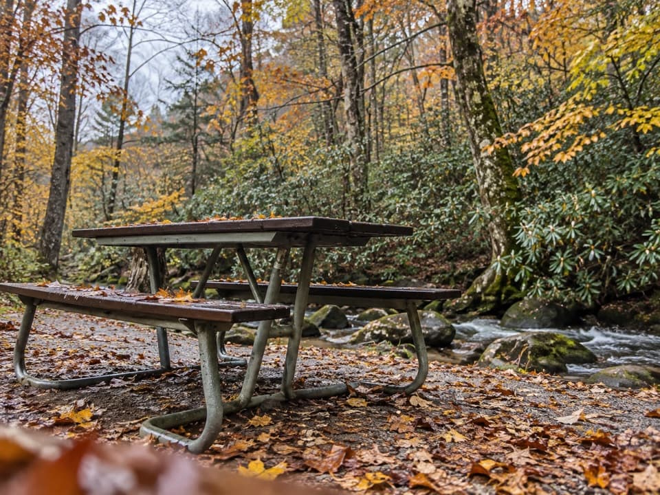
The path winds beneath tall hardwoods with a cool, leafy canopy—great relief on warm days. You’ll cross a shallow creek via a footbridge with a handrail, so you can keep feet dry and avoid slick rocks. Seasonal highlights shine here: spring wildflowers, summer greens, and glowing autumn color. Despite being near one of the park’s most popular drives, the trail itself is often described as quiet.
Wildlife is the wildcard: this area is known for black bears, and you might also spot deer and wild turkeys. Peek into the creek for small fish and salamanders. As always, sightings are never guaranteed—treat them as a bonus, not the plan.
Who It’s For
Families and casual walkers who want an easy nature loop with a creek crossing and a real chance of wildlife without committing to a big climb. If you’re hunting for a strenuous workout or wide-open summit views, this isn’t that.
Geology Snapshot
Beneath your boots are ancient sedimentary rocks of the Smokies—layers of clay, silt, sand, gravel, and carbonate that were compacted over hundreds of millions of years into what geologists call the Ocoee Supergroup. You won’t see cliffy exposures here, but it’s a classic woodland walk over very old stone.
Logistics
Trailhead access is along the one‑way Cades Cove Loop Road, roughly seven miles into the 11‑mile drive, just past the Cades Cove Visitor Center. Parking is generally straightforward at the pullout, but reaching it can be slow—expect congestion, especially mid‑day. A park parking tag is required when you stop. No dogs are allowed, and the natural surface plus grades make it a poor fit for strollers or wheelchairs.
Best Time to Hike
Year‑round works. For blooms, aim for spring into early summer; for color, target fall. For wildlife and lighter traffic, go at sunrise or in the last couple hours before dark. Mid‑day often brings the slowest Loop Road traffic and the harshest light for photos.
Tips
- Start early or later in the day to skirt traffic and improve your odds of wildlife.
- Use the footbridge at the creek—rocks can be slick.
- Give bears space; never approach or feed wildlife.
- Build extra time for the drive: “bear jams” can stall the loop even if you’re not stopping.
Elevation
2 mi · 1 hrWildlife on this trail
Near Cades Cove Nature Trail
All places →All trails →
Kuwohi (Clingmans Dome)Highest Smokies peak with a 360° tower and sweeping ridgeline viewsTrailhead · Parking
Clingmans Dome Observation Tower360-degree Smokies views from a futuristic Mission 66 towerParking · Restroom
LeConte LodgeHike-in mountaintop lodge with hearty meals and knock-out viewsLodging · Food
Mount Le ContePanoramic ridges and a hike-in lodge reward a stout climbScenic Viewpoint · Lodging
Appalachian Trail (GSMNP section)72 rugged ridge miles with towers, classic knobs, and big views.Challenging · 72 mi · 168 hr
Alum Cave TrailStreamside climb to Arch Rock, big views, and a towering bluffModerate · 4.6 mi · 3 hr
Gregory Ridge TrailSteep, shaded grind to a flower studded bald with huge views.Challenging · 11.1 mi · 6.4 hr
Clingmans Dome TrailShort, steep paved climb to 360° views from the Smokies’ rooftopEasy · 1 mi · 48 min