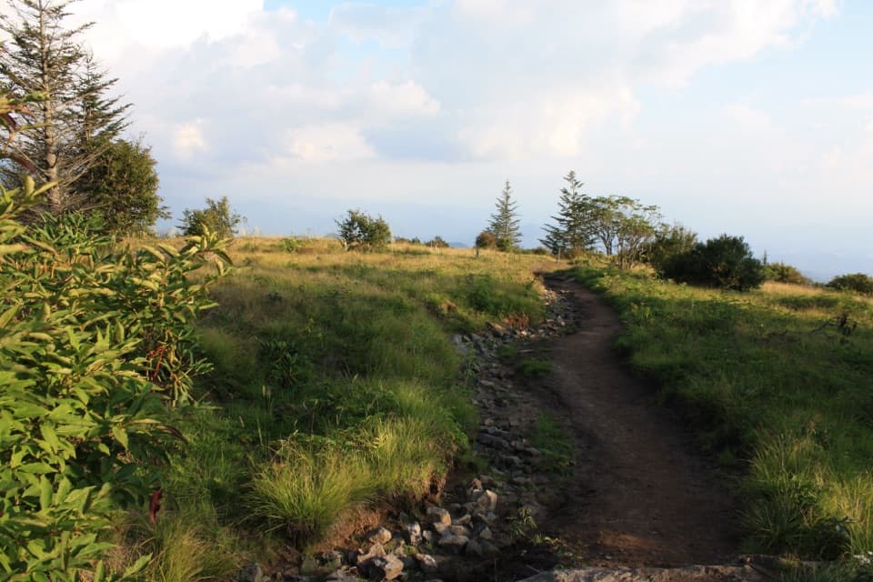
Alum Cave Trail to Alum Cave Bluffs in Great Smoky Mountains National Park

#3 of 197 trails in Great Smoky Mountains

Great Smoky Mountains National Park, TN · NC

Alum Cave Trail to Alum Cave Bluffs

A forest climb to a 75-foot rock shelter and natural arch.

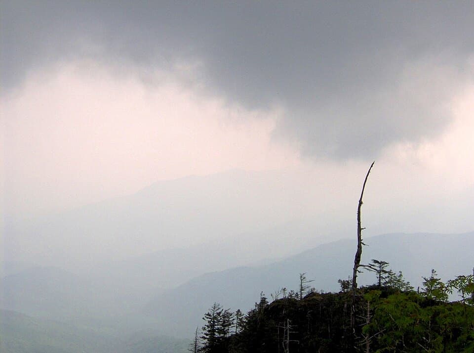
Photo: Wikimedia Commons
Length
4.6mi
Time
3.5hr
Elev. change
1,152ft
Difficulty
Moderate
  • No dogs
  • High point 5,012 ft

Hear the audio tour

Alum Cave Trailhead

Overview

About Alum Cave Trail to Alum Cave Bluffs

Why go

  • Arch Rock and the Bluffs make two memorable stopping points.
  • The creekside forest gives the climb a gentler opening.

Heads up

  • The 69-space trailhead lot often fills early.
  • Steep stairs and uneven footing intensify above Arch Rock.
Alum Cave Trail to Alum Cave Bluffs is a 4.6-mile out-and-back from the trailhead on Newfound Gap Road. It follows Alum Cave Creek through forest, passes under Arch Rock, reaches a mountain viewpoint, then climbs to a tall overhang called Alum Cave Bluffs. Allow three to four hours; terrain samples put the net rise at about 1,130 feet from trailhead to turnaround. This is a top Smokies day hike if you want a real climb with landmarks along the way, but the upper stairs are steep and the trail is busy. The Bluffs are the turnaround for this outing. Continuing to Mount Le Conte makes a separate 10-mile round trip, not a small add-on.
Parkwolf’s verdictIs this the hike for you?

Map & elevation

The route

Loading the Great Smoky Mountains map
Full map
Elevation3,860–5,012 ft
TrailheadAlum Cave Trailhead on Newfound Gap Road (US 441)35.62861, -83.45066
Keep this map with you offline in the Parkwolf app

Plan your hike

Before you go

Parking

Alum Cave Trailhead on Newfound Gap Road (US 441), 6.8 miles south of Sugarlands Visitor Center. The 69-space lot is first come and often over capacity; a parking tag is required for stays longer than 15 minutes. Shuttle service from nearby communities may be available. The pit toilet is seasonal.

Safety

The route has steep stone steps, roots and uneven rock, especially above Arch Rock. Winter ice can cover the steps and ledges, and icicles may fall from the Bluffs. Dogs are prohibited on this park trail.

7 active Great Smoky Mountains alerts

  • ClosureHurricane Helene backcountry trail closures and hazardsHurricane Helene damage has closed backcountry trails and left hazardous crossings; avoid closed routes and heed trail-specific restrictions.Official details
  • CautionBear-related trail, road, shelter, and campsite restrictionsBear activity has closed trails, a shelter, and campsites and restricted pedestrian access on Cherokee Orchard Road; follow the vehicle restrictions and avoid closed areas.Official details
See all 7 alerts
A park ranger sits on a dash-mounted phone, talking, as Parkwolf’s Tour Guide plays “Army Cutworm Moths: A Grizzly Bear Buffet” on Grand Loop Road below Dunraven Pass in Yellowstone
Parkwolf Tour GuideThe highest, rockiest slopes around here are a summer buffet for grizzly bears.

Great Smoky Mountains Tour Guide

Your drive to Alum Cave Trail to Alum Cave Bluffs, narrated.

Parkwolf is a GPS audio tour guide for Great Smoky Mountains National Park. As you drive, it chimes in with what’s ahead: hidden gems, upcoming stops, history, geology, and wildlife, right through your car’s speakers.

See the Great Smoky Mountains audio tour

Recorded for this trailhead

Alum Cave Trailhead
0:00 / 0:27
“You're coming up on the Alum Cave trailhead, where a forest hike leads through Arch Rock to a huge rock overhang.”

Plays as you drive up to this trailhead in the Parkwolf Great Smoky Mountains Tour Guide.

More stories near here in the app

  • Chimney Tops Trailhead
  • The Beetle That Clicks Upright
  • Tulips Above Your Head
  • Ben Morton Overlook
  • 188 audio storiesacross Great Smoky Mountains’s roads, triggered by GPS as you drive
  • Wildlife heatmapsfor Black Bear, Elk, Bald Eagle, and 13 more
  • Works offlinemaps, 197 trails, 100 places, and audio download before you lose signal
  • CarPlay readysimple controls built for the drive
★★★★★
“Fantastic app with many points of information… It’s great to just turn on while you’re driving and it gives you an audio tour of the national Park. We love it!!!!”
JMJamesApp Store review
Download Parkwolf on the App StoreGet Parkwolf on Google Play

4.7 from 8,600+ ratings

Trail guide

Hiking Alum Cave Trail to Alum Cave Bluffs

The creekside startThe lower miles are the gentler part, winding beside Alum Cave Creek through sections of…

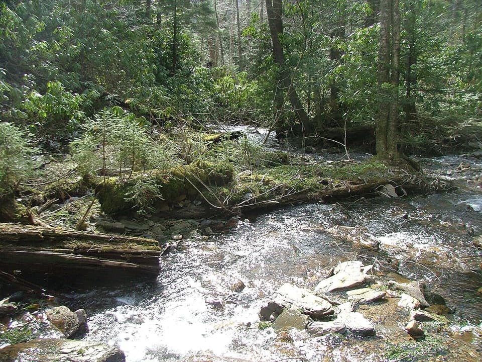
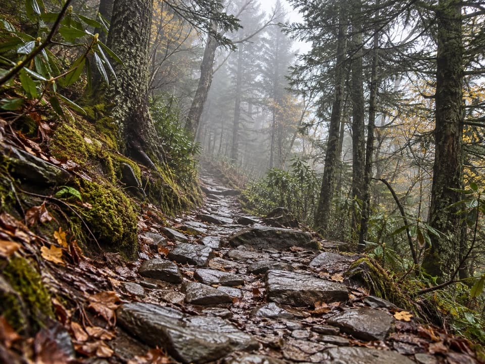
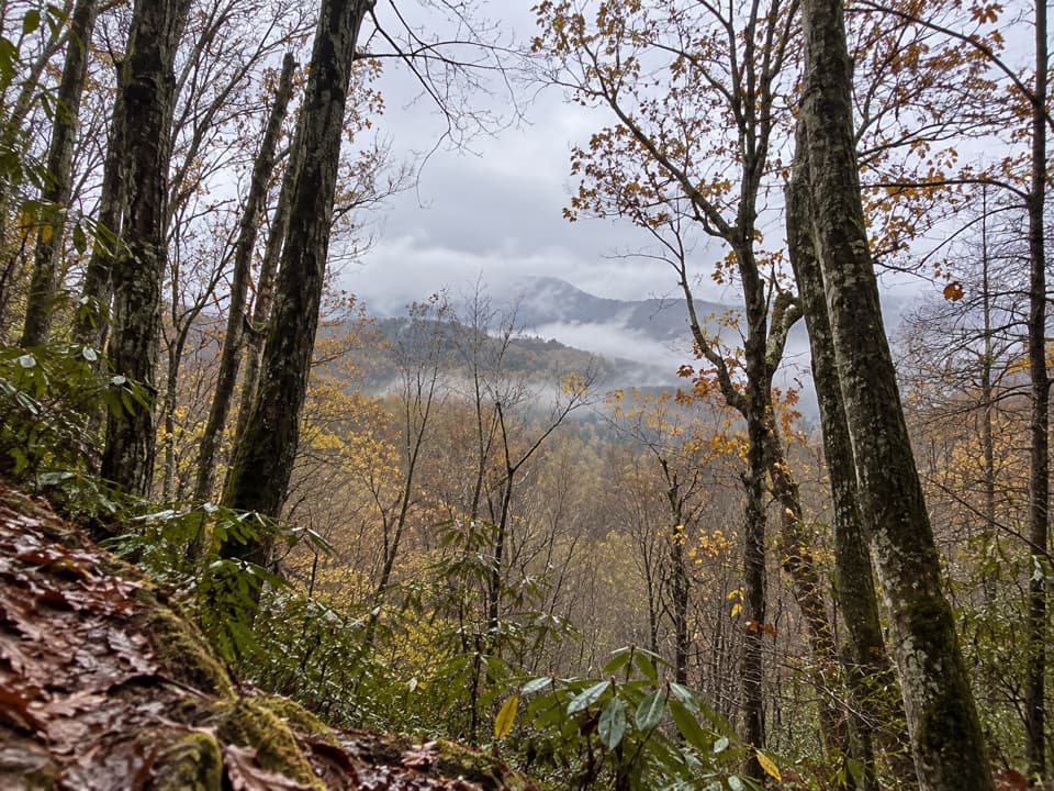
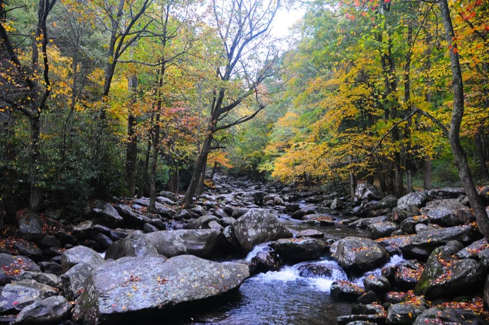
The lower miles are the gentler part, winding beside Alum Cave Creek through sections of old-growth forest. The route crosses two mountain streams on footbridges, then keeps gaining height as the creek drops away. Rocks and roots interrupt the smoother tread, and visitors often find slick footing slows them down. In early summer, rosebay rhododendron flowers brighten the upper woods.

Walk through Arch RockAt about 1.4 miles one way, the trail passes beneath Arch Rock.

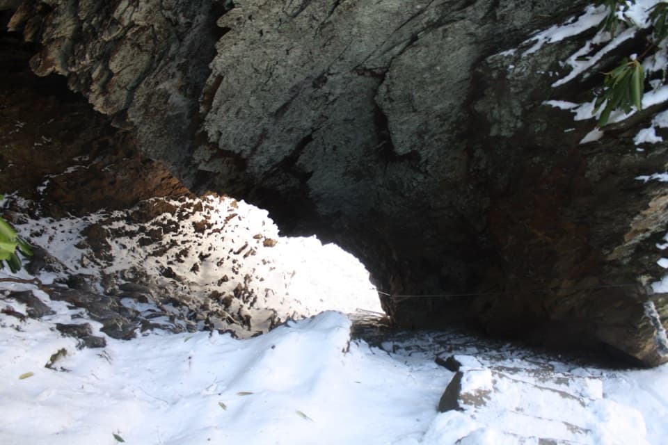
At about 1.4 miles one way, the trail passes beneath Arch Rock. Stone steps climb through its low opening, making this a close-up encounter rather than a viewpoint from the road. Freeze-thaw weathering wore away softer rock beneath harder layers to form the arch. If you want a shorter hike, turn around here for a 2.8-mile round trip; you still get the stream crossings and the route's most unusual passage.

Climb to Inspiration PointThe grade gets noticeably steeper beyond Arch Rock.

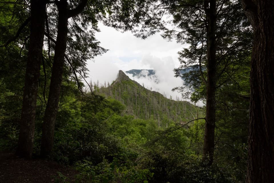
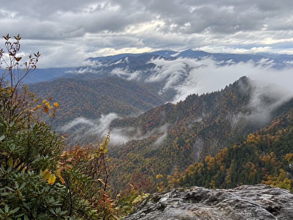
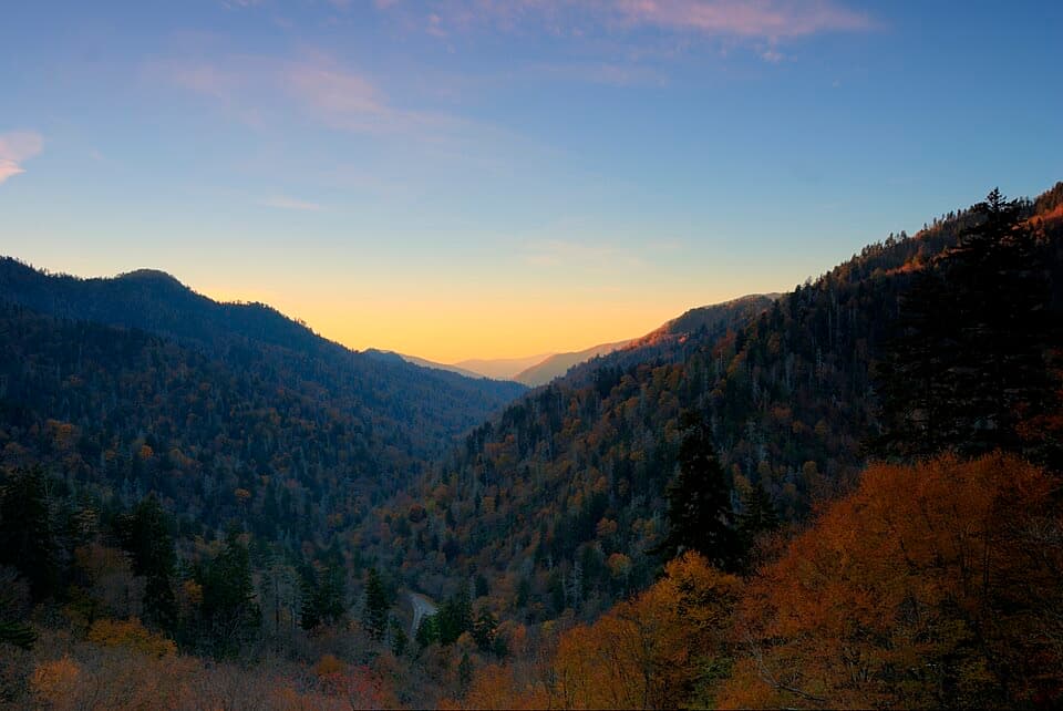
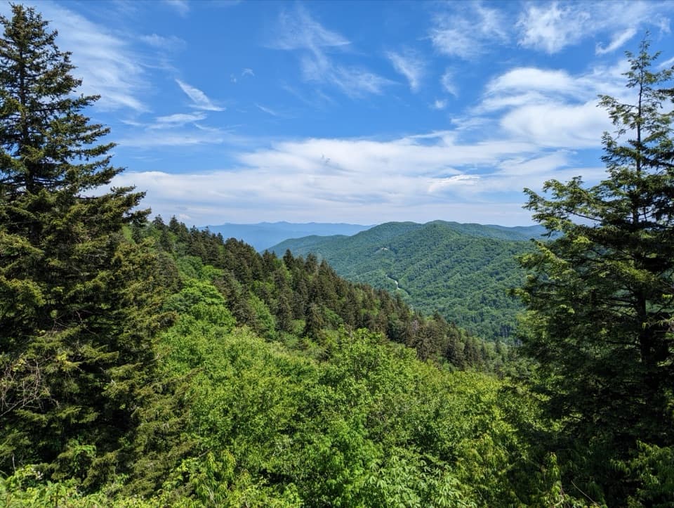
The grade gets noticeably steeper beyond Arch Rock. The path works through more stairs, exposed roots and uneven rock, so this is where a moderate outing starts to feel like a workout. Around two miles from the trailhead, Inspiration Point opens a view toward Little Duck Hawk Ridge. Look for the Eye of the Needle, a narrow gap in the ridge's rock. It is a good place to pause before the final climb; include some of the ridge in a photo so the opening reads as part of the mountain rather than an isolated hole.

At the BluffsThe last steep section reaches Alum Cave Bluffs at about 2.3 miles one way.

The last steep section reaches Alum Cave Bluffs at about 2.3 miles one way. Despite its name, Alum Cave is a broad rock overhang, not an underground cave; the curved wall rises about 75 feet above the trail and shelters a dry space beneath it. This is the hike's big payoff and natural turnaround. Step back enough to fit the wall and a strip of trail in the same frame. In winter, ice forms on the stairs and ledges and icicles can fall from the bluff, so do not linger beneath the overhang in freezing weather.

Plan the visitThe trailhead lot has 69 first-come spaces and often fills early; arriving early or arranging a…

The trailhead lot has 69 first-come spaces and often fills early; arriving early or arranging a shuttle from a nearby community makes the start less uncertain. A parking tag is required for a stay longer than 15 minutes, and the pit toilet at the lot is seasonal. Dogs are not permitted on park trails. Expect company at Arch Rock and the narrow upper steps, especially on a clear weekend. If you want the Bluffs, turn around there; the longer Mount Le Conte route continues beyond them and has separate mileage, effort and destinations.

Wildlife

Wildlife in Great Smoky Mountains

All Great Smoky Mountains wildlife maps

Sighting maps show where each species has been reported across Great Smoky Mountains. Wildlife moves, so no sighting is guaranteed.

Keep exploring

Near Alum Cave Trail to Alum Cave Bluffs

See it all on the map

Trails that start nearby

Places near the trailhead

Parkwolf’s Great Smoky Mountains ranking

Top-rated trails in Great Smoky Mountains

All 197 trails
  1. 1Mount Le Conte via Alum Cave TrailChallenging · 10 mi
  2. 2Charlies Bunion via Appalachian TrailModerate · 8 mi
  3. 4Ramsey Cascades TrailChallenging · 8 mi
  4. 5Mount Cammerer TrailChallenging · 11.1 mi
  5. 6Gregory Ridge TrailChallenging · 11.4 mi
  6. 7Forney Ridge Trail to Andrews BaldModerate · 3.6 mi

Take Parkwolf to Great Smoky Mountains.

The audio tour guide for the drive, plus offline maps, trails, and wildlife heatmaps for when the signal drops.

4.7 from 8,600+ ratings

Download Parkwolf on the App StoreGet Parkwolf on Google Play