Western Brook Beach in Gros Morne National Park

#10 of 22 sights in Gros Morne

Beach · Gros Morne National Park

Western Brook Beach

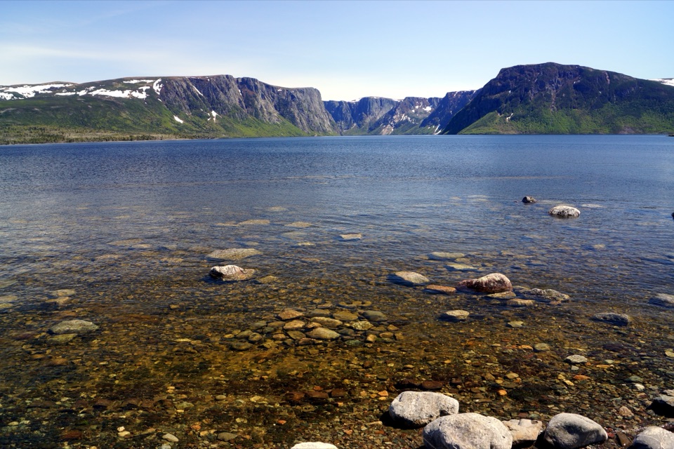
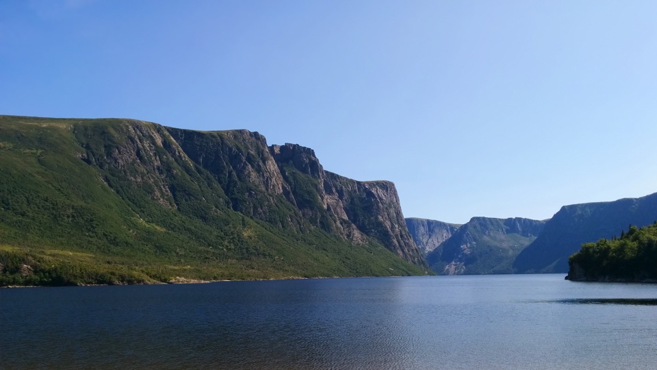
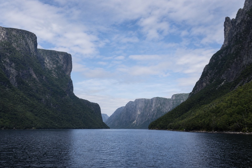
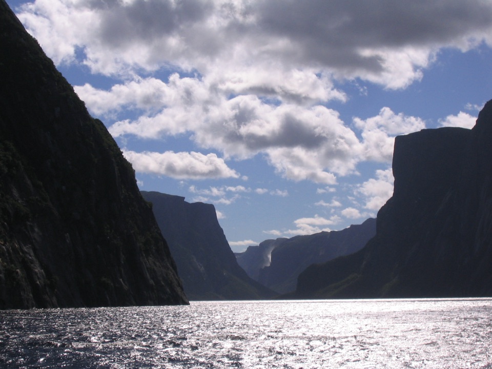
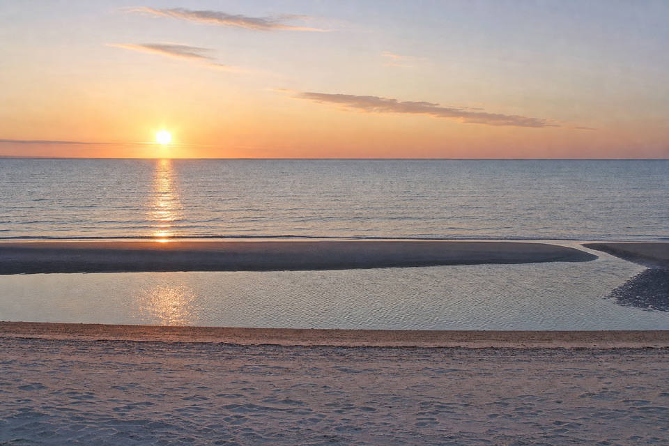
A sandy stop at the mouth of Western Brook Pond fjord.

Type
Beach
Nearest trail
1 km
Audio stories
4 nearby
  • Parking

Hear the audio tour

Western Brook Beach

Map

Where it is

Loading the Gros Morne map
Full map
BeachWestern Brook Beach49.82646, -57.85950
Keep this map with you offline in the Parkwolf app

Plan your stop

Before you go

3 active Gros Morne alerts

  • ClosureGreen Gardens and Wallace Brook trail sections closedDo not enter the closed sections of the Green Gardens and Wallace Brook trails.Official details
  • CautionStuckless Pond Trail bridge outDo not use the Stuckless Pond Trail at the stream crossing. - The bridge is out, and Parks Canada says trail use is not recommended at this time because of high water levels at the stream crossing.Official details
See all 3 alerts
A park ranger sits on a dash-mounted phone, talking, as Parkwolf’s Tour Guide plays “Army Cutworm Moths: A Grizzly Bear Buffet” on Grand Loop Road below Dunraven Pass in Yellowstone
Parkwolf Tour GuideThe highest, rockiest slopes around here are a summer buffet for grizzly bears.

Gros Morne Tour Guide

Your drive to Western Brook Beach, narrated.

Parkwolf is a GPS audio tour guide for Gros Morne National Park. As you drive, it chimes in with what’s ahead: hidden gems, upcoming stops, history, geology, and wildlife, right through your car’s speakers.

Recorded for this place

Western Brook Beach
0:00 / 0:17
“Western Brook Beach is coming up near Boom Point. This sandy shore is a separate stop from the Western Brook Pond boat tour; the boat dock takes a three-kilometre walk from its parking area.”

Plays as you drive up to Western Brook Beach in the Parkwolf Gros Morne Tour Guide.

More stories near here in the app

  • Broom Point Fishing Premises
  • Why the Fjord Is Fresh
  • The Work Behind “Made Fish”
  • Western Brook Pond and the Fjord
  • 87 audio storiesacross Gros Morne’s roads, triggered by GPS as you drive
  • Wildlife heatmapsfor Moose, Caribou, Black Bear, and 13 more
  • Works offlinemaps, 25 trails, 58 places, and audio download before you lose signal
  • CarPlay readysimple controls built for the drive
★★★★★
“Fantastic app with many points of information… It’s great to just turn on while you’re driving and it gives you an audio tour of the national Park. We love it!!!!”
JMJamesApp Store review
Download Parkwolf on the App StoreGet Parkwolf on Google Play

4.7 from 8,600+ ratings

Guide

More about Western Brook Beach

Sand at the fjord's mouthWestern Brook Beach is a sandy shore at the mouth of the fjord at Western Brook Pond, beside…

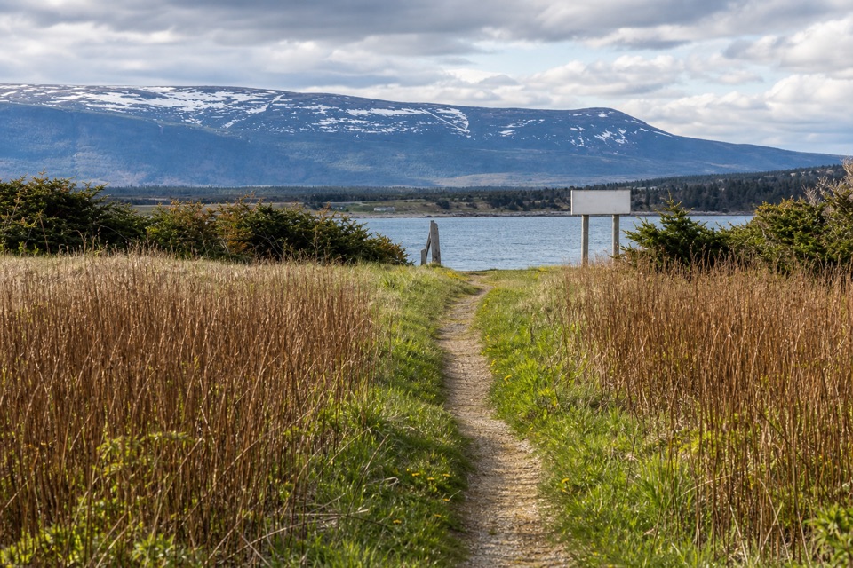
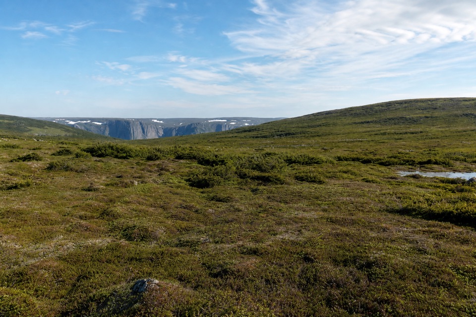
Western Brook Beach is a sandy shore at the mouth of the fjord at Western Brook Pond, beside the fishing village of Boom Point. The entrance is off Route 430 between Western Brook Pond and St. Pauls, and the Western Brook parking lot leads to the beach. This is a separate shore stop in the same area as the pond boat tour, not just the end of that walk. Come for the sand and the chance to pause at the fjord's mouth while driving this stretch of the park. For a photo, frame through the grass-edged access opening and keep the water beyond the sand; it shows the transition from dune path to shore.

Keep the beach separate from the boat tourThe pond and beach share a name and parking area, but they are different visits.

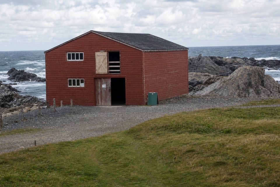
The pond and beach share a name and parking area, but they are different visits. The boat dock lies 3 km from the parking lot on a moderate trail; the Town's directions identify the same lot as beach access. If sand is what you want, go to the beach rather than setting out for the dock. If you're planning the boat tour, don't mistake the beach for the dock or assume it is a stop on the longer walk. The beach is beside Boom Point, which the Town identifies as a fishing village; the Town's brief description does not establish settlement dates or provide more history.

Plan a simple shoreline stopThe beach-specific route length and surface, facilities, access accommodations, dog rules and…

The beach-specific route length and surface, facilities, access accommodations, dog rules and swimming conditions were not given in the sources I could verify. The lot is the documented access point, but no source confirms beach-specific washrooms, water, food or accessibility. The May-to-October schedule on the Town's page applies to the pond boat tour, not to the beach. If services, mobility or swimming are part of your plan, verify those details separately; neither the beach name nor the tour schedule establishes them.


Wildlife

Wildlife in Gros Morne

All Gros Morne wildlife maps

Sighting maps show where each species has been reported across Gros Morne. Wildlife moves, so no sighting is guaranteed.

Parkwolf’s Gros Morne ranking

Top sights in Gros Morne

All 58 places
  1. 1Western Brook PondSight
  2. 2The TablelandsSight
  3. 3Gros Morne MountainSight
  4. 4Lobster Cove Head LighthouseSight
  5. 5Shallow Bay BeachBeach
  6. 6Broom Point Fishing PremisesSight

Take Parkwolf to Gros Morne.

The audio tour guide for the drive, plus offline maps, trails, and wildlife heatmaps for when the signal drops.

4.7 from 8,600+ ratings

Download Parkwolf on the App StoreGet Parkwolf on Google Play