Parking
Start at the Western Brook Pond trail parking area on Route 430 and finish at the Gros Morne Mountain trailhead on Route 430. This is a through-hike; arrange a shuttle or taxi between the two ends in advance.
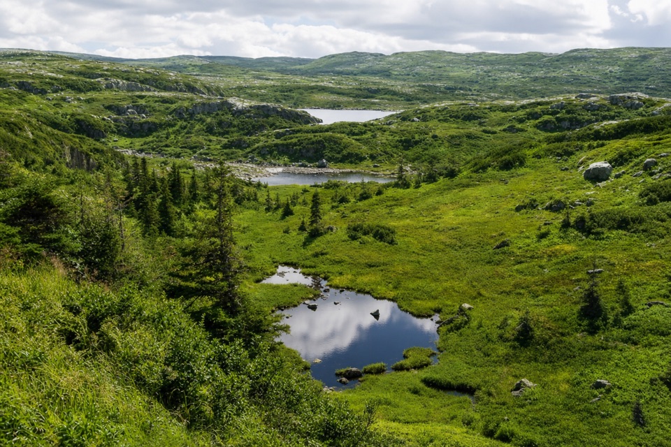
Gros Morne National Park, NL
A 60-km wilderness crossing over bog, ridges, and tuckamore.
Overview
Map & elevation
Plan your hike

The highest, rockiest slopes around here are a summer buffet for grizzly bears.
Gros Morne Tour Guide
Parkwolf is a GPS audio tour guide for Gros Morne National Park. As you drive, it chimes in with what’s ahead: hidden gems, upcoming stops, history, geology, and wildlife, right through your car’s speakers.
Recorded for this area
Western Brook Pond and the Fjord“You're coming up on the Western Brook Pond trailhead. Reaching the water takes a roughly six-kilometre return walk on a mostly level gravel path through bog and forest, so this isn't a quick roadside view.”
Plays near this trailhead in the Parkwolf Gros Morne Tour Guide.
More stories near here in the app
“Fantastic app with many points of information… It’s great to just turn on while you’re driving and it gives you an audio tour of the national Park. We love it!!!!”


Trail guide
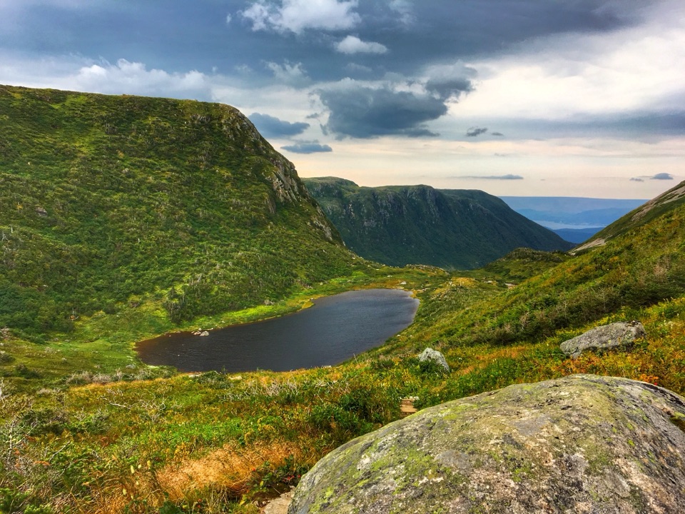
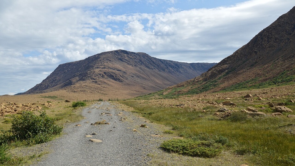
At 60 km (37.3 miles) one way, this five-to-seven-day point-to-point traverse starts at the Western Brook Pond trailhead, reaches the Long Range plateau through Snug Harbour and the Northern Traverse, then follows the Long Range south to Ferry Gulch and exits down the Gros Morne Mountain Trail to Route 430. This is the combined through-route, not a loop or the separately listed Snug Harbour day hike. The payoff is a crossing of ponds, rocky ridges, open valleys, bog, and wind-shaped spruce and fir called tuckamore. The Long Range has no built trail: this is wilderness navigation, not a marked route with a continuous tread.
This is for physically fit backpackers who already know how to navigate with a map, compass and GPS in remote terrain. Low cloud can cut visibility, and animal tracks can resemble beaten lines; no one in the group should be learning these skills on the traverse. Near the start, Snug Harbour sits on Western Brook Pond below the Long Range escarpment. After gaining the plateau, the Northern section crosses rocky ridges separated by narrow bands of dense tuckamore and bog. Natural landmarks are sparse, some scrub is nearly impassable, and campsites are limited. Views of Western Brook Pond come at the eastern and western ends of the Northern route; much of the middle is open sub-arctic country. Do not assume a visible path will lead you through.
The southbound section crosses rocky ridges, open valleys, bog and ponds, with few landmarks to keep you oriented. At Green Island Pond, avoid the tempting well-worn shoreline track: it leads toward an unsafe cliff. A brook crossing here can be difficult when the water is high. Bakeapple Pond gives a long view over Ten Mile Pond, a good place to stop and frame the water and high rim from a safe position. The route descends into Ferry Gulch, then follows 7.7 km of the Gros Morne Mountain Trail to the highway. This is the trail exit, not a climb to the summit. Campsites act as route waypoints; tent pads, bear boxes, pit toilets and other facilities vary from site to site.
Allow five to seven days. Reservations are recommended, with one departure group per day and a maximum of four people; collect the backcountry permit at the Visitor Centre by 2:30 p.m. the day before departure to keep the reservation. Access is seasonal, and the Gros Morne Mountain exit has its own spring wildlife closure, so confirm the exact dates for your year. No food service or potable-water point is listed along the route; carry food and a way to treat water. Pets are allowed on leash under park rules, but not on the Western Brook Pond boat tour or the top of Gros Morne Mountain; neither is part of this combined route. Arrange transport between the Western Brook Pond start and the Gros Morne Mountain trailhead before setting out. For a shorter outing, the separate 15 km Snug Harbour hike visits the cove without crossing the plateau.
Wildlife
 252 sightingsMooseMost seen around 7 AMSighting map
 120 sightingsCaribouMost seen around 7 AMSighting map
 22 sightingsBlack BearMost seen around 7 PMSighting map
 61 sightingsBald EagleMost seen around 7 AMSighting map
 11 sightingsCommon Minke WhaleMost seen around noonSighting map
 70 sightingsHarbor SealMost seen around noonSighting map
Sighting maps show where each species has been reported across Gros Morne. Wildlife moves, so no sighting is guaranteed.
Keep exploring
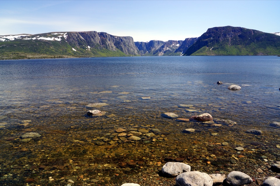 EasyWestern Brook Pond Trail6 km · 1.5 hr · At the trailheadAn easy walk to the foot of a fjord's cliffs.
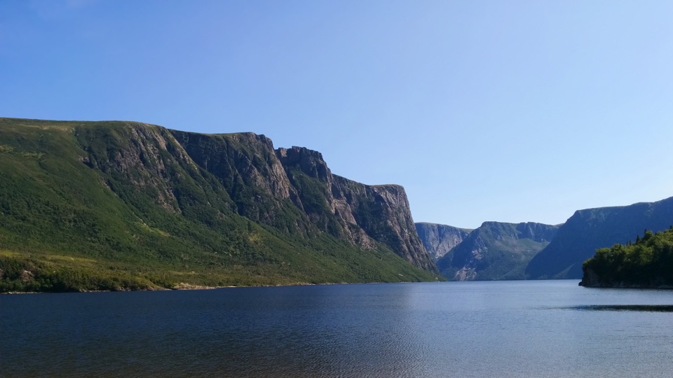 ChallengingSnug Harbour Trail15 km · 7 hr · At the trailheadA muddy, unmarked hike to the foot of 650-metre fjord cliffs.
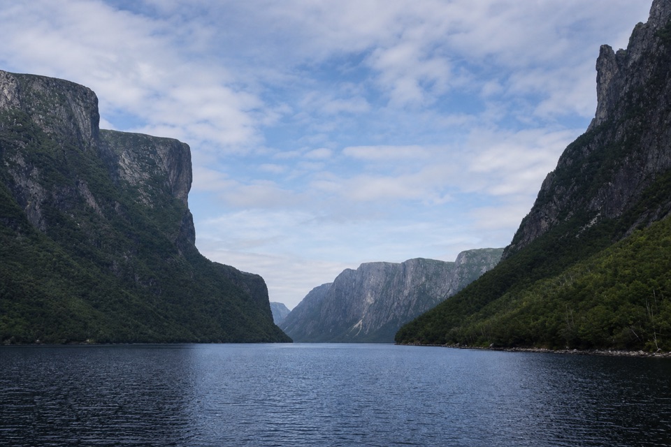 EasyWestern Brook Pond Trail: Scenic Loop6.3 km · 1.5 hr · At the trailheadA lowland shoreline circuit reaches a fjord framed by cliffs.
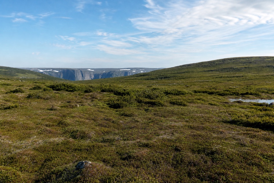 ChallengingSnug Harbour to North Rim26 km · 16 hr · At the trailheadTwo days to a cliff-top view above Western Brook Pond.
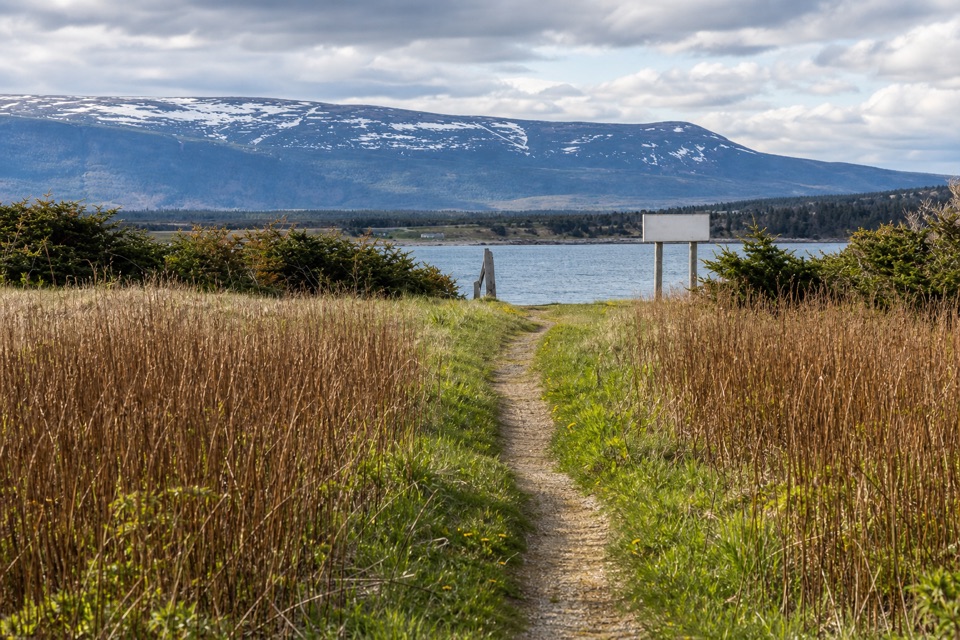 EasySteve's Trail1 km · 30 min · 5.4 km awayA short tuckamore walk opens to Western Brook’s coastal mouth.
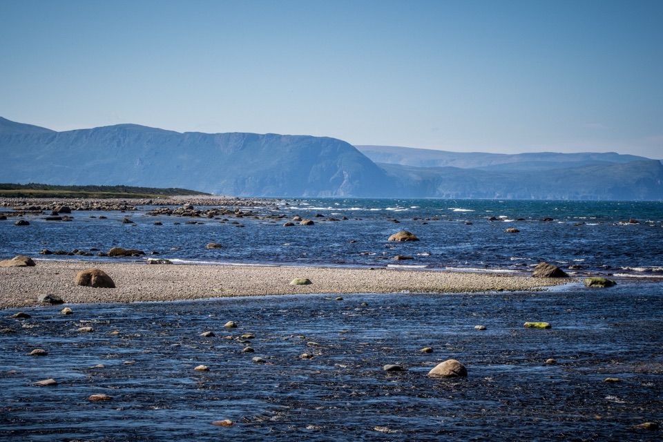 EasyCoastal Trail6 km · 1.5 hr · 15.7 km awayFollow the old mail road between cobble shore and wind-shaped tuckamore.
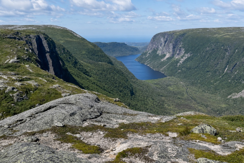 ChallengingLong Range Traverse35 km · 4 days · 17.4 km awayA rugged, unmarked crossing for skilled wilderness navigators.
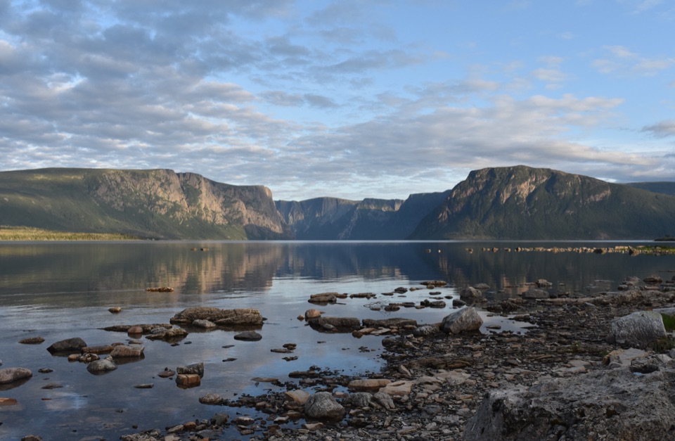 ChallengingNorthern Traverse33 km · 1 day · 17.4 km awayThree nights across unmarked ridges, bog, and wind-shaped tuckamore.
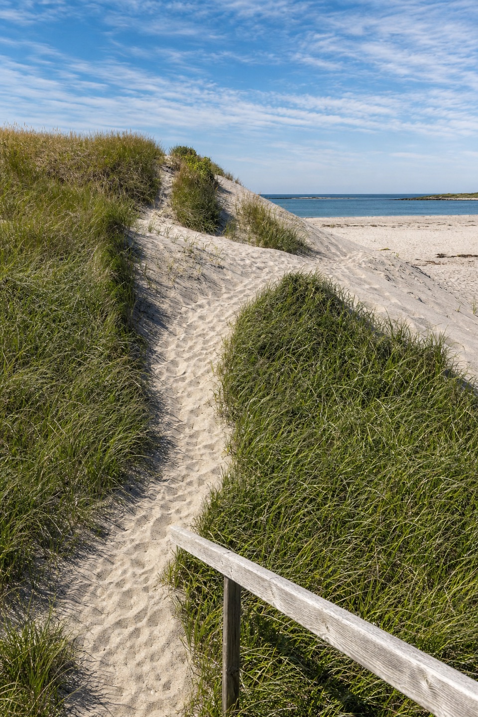 Beach · 4.5 km awayWestern Brook BeachA sandy stop at the mouth of Western Brook Pond fjord.
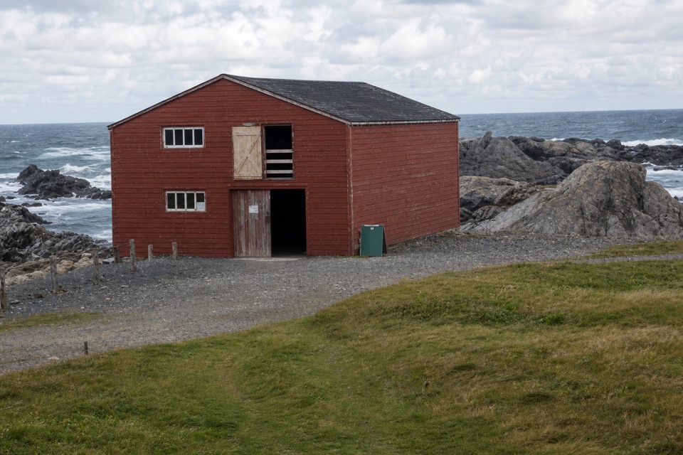 Sight · 5.5 km awayBroom Point Fishing PremisesThree brothers and their families shared one cabin each summer.
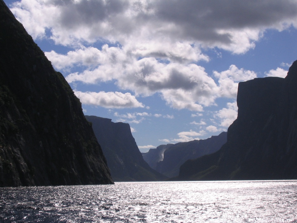 Sight · 9.5 km awayWestern Brook PondWalk into a landlocked fjord, then cruise beneath cliffs and waterfalls.
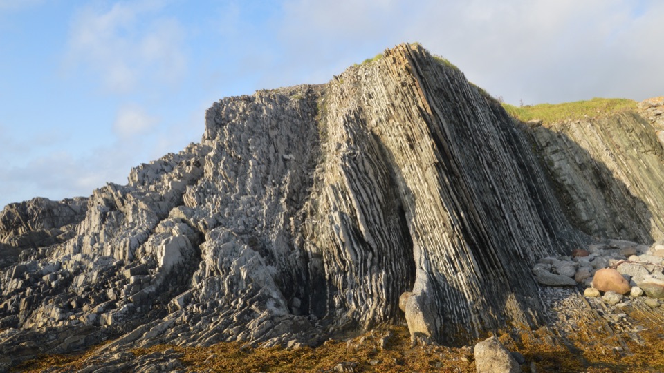 Sight · 13.3 km awayGreen Point Geological SiteA coastal rock sequence that defines a global time boundary.
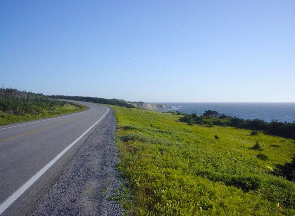 Campground · 13.6 km awayGreen Point CampgroundCamp beside a cobble beach with ocean-view pitches.
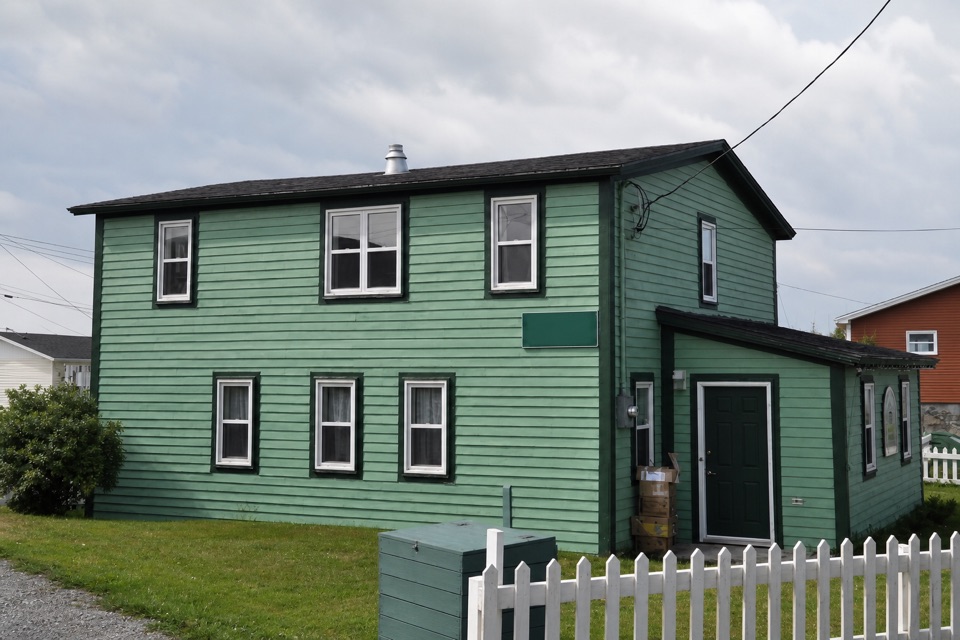 Sight · 15.1 km awayDr. Henry N. Payne Community Museum & Craft ShopA Cow Head house museum with a 700-year-old walrus skull.
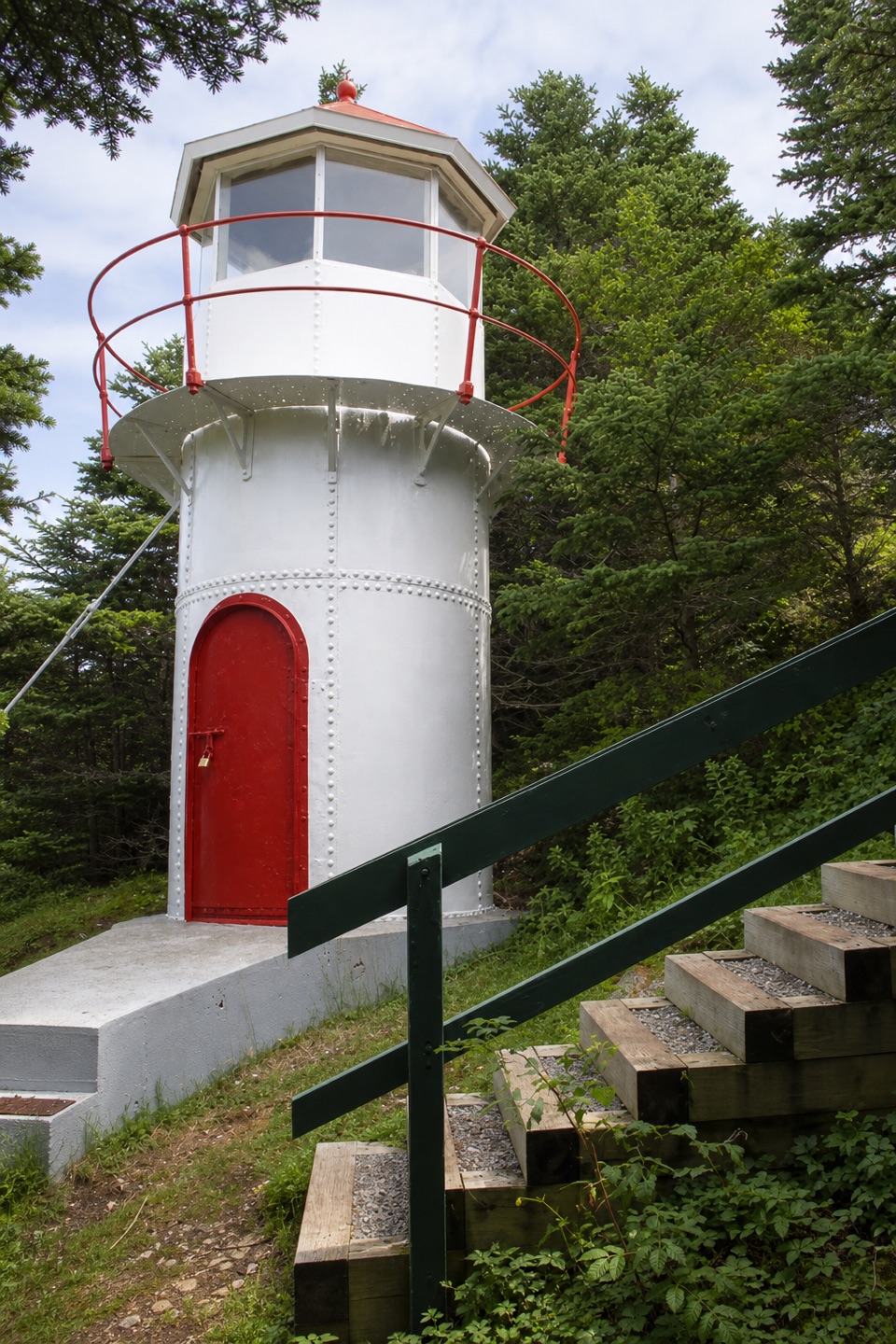 Sight · 15.3 km awayCow Head LighthouseA tiny 18-foot lighthouse tucked among trees on Cow Head’s coast.
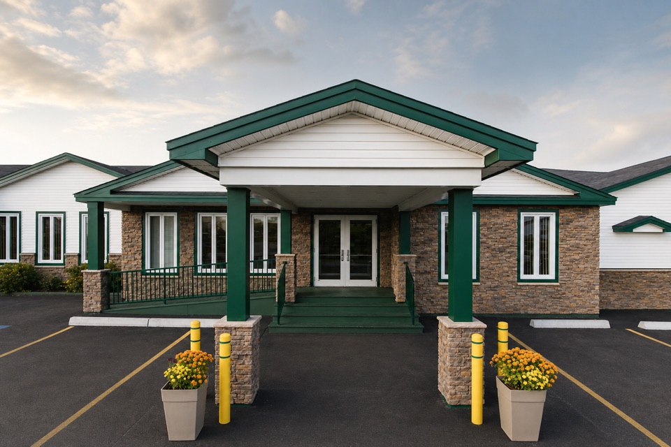 Lodging · 15.5 km awayShallow Bay Motel & CabinsA Cow Head base with cottages and a seafood restaurant.
Parkwolf’s Gros Morne ranking

The audio tour guide for the drive, plus offline maps, trails, and wildlife heatmaps for when the signal drops.