Parking
Start at the Western Brook Pond parking area. Follow the main pond trail and its side loop to Western Brook, where the Snug Harbour route begins.
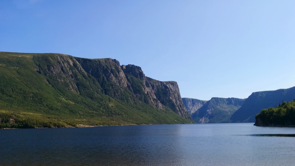
Gros Morne National Park, NL
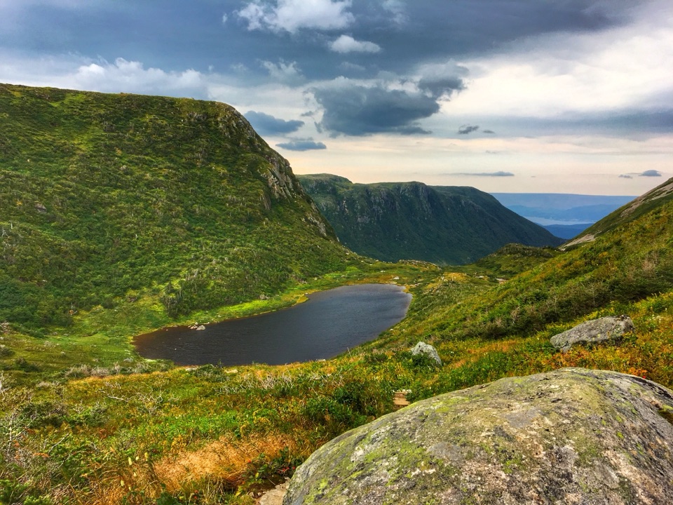
A muddy, unmarked hike to the foot of 650-metre fjord cliffs.
Overview
Map & elevation
Plan your hike

The highest, rockiest slopes around here are a summer buffet for grizzly bears.
Gros Morne Tour Guide
Parkwolf is a GPS audio tour guide for Gros Morne National Park. As you drive, it chimes in with what’s ahead: hidden gems, upcoming stops, history, geology, and wildlife, right through your car’s speakers.
Recorded for this area
Western Brook Pond and the Fjord“You're coming up on the Western Brook Pond trailhead. Reaching the water takes a roughly six-kilometre return walk on a mostly level gravel path through bog and forest, so this isn't a quick roadside view.”
Plays near this trailhead in the Parkwolf Gros Morne Tour Guide.
More stories near here in the app
“Fantastic app with many points of information… It’s great to just turn on while you’re driving and it gives you an audio tour of the national Park. We love it!!!!”


Trail guide
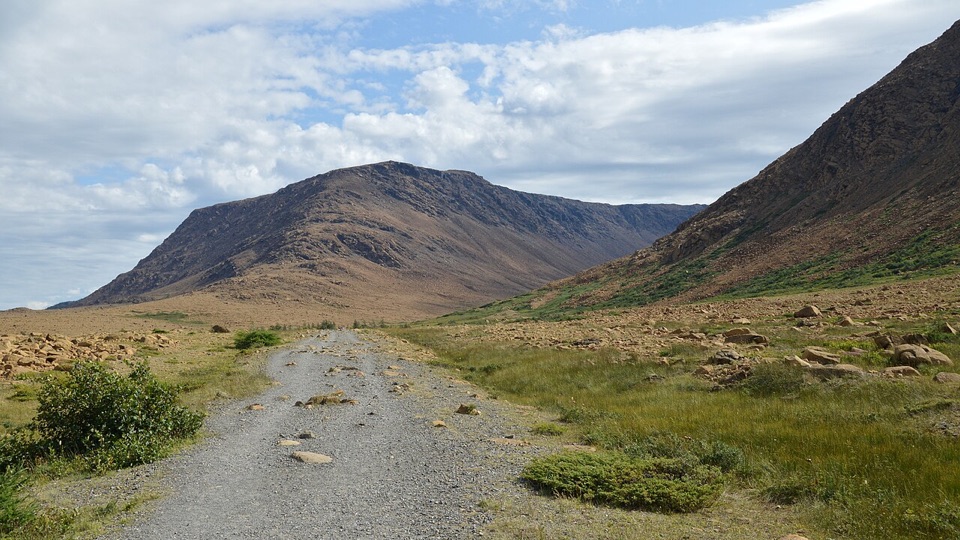
Snug Harbour Trail is a 15 km out-and-back from Western Brook Pond trailhead, with 170 m of climbing and a six to eight hour day. The full figure includes the pond approach and the return from the cove. The first part follows the 2.7 km gravel path toward the boat-tour dock, then a side loop reaches the banks of Western Brook and the wilderness route’s start. From there, the unmarked route runs about 4.5 km one way to Snug Harbour. A separate Parks Canada listing gives 9 km return for that backcountry spur; it appears to stop its mileage at Western Brook rather than include the trailhead approach. Keep the 15 km figure in mind when planning your day. This is a difficult backcountry hike for people comfortable navigating without a marked route, not a casual extension of a pond visit. It is different from the 24 km, two-day North Rim itinerary.
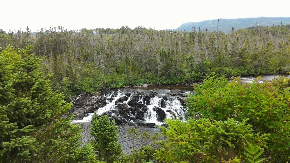
The gravel pond path and side loop are the easier-to-follow part of the day, but they lead into a difficult wilderness route. At Western Brook, you must ford or wade across the water. Parks Canada advises going upstream to just above the pond outflow, where the water is shallower and the current weaker. After rain it can reach one metre. Do not cross when water is high, the current strong, or the water cold. If those conditions are present, turn back; don’t count on getting across safely just because the brook looks manageable from the bank.
From the far side, the route combines shoreline with rough, unmaintained trail. In places it is very muddy and overgrown. The shoreline can be misleading: watch for markers showing where the route leaves the shore and re-enters the forest. That turn is easy to miss if you assume the walk simply follows the beach. Low elevation gain doesn’t make this easy; the distance, footing, river crossing and route-finding carry most of the effort. Wilderness navigation skills are needed, and the full outing returns by the same way, so every bit of rough ground is repeated on the trip back.
Snug Harbour is a primitive campsite at a small cove below the Long Range escarpment. Western Brook Pond’s cliffs rise about 650 m above the water. From shore, leave water in the foreground of a photo so the cliff wall has some scale. The campground has three sites, a pit toilet, picnic table and food locker for campers. Day hikers need a Parks Canada day or annual pass; an overnight stay also requires a campsite reservation and Primitive Camping Permit. The detailed day-route page lists late June through September, while the campground has separate dates, so check the route’s own access before setting out. Give the whole return its six to eight hours; the cove is a long way from the trailhead, and the difficult stretch begins after the gravel approach.
Wildlife
 252 sightingsMooseMost seen around 7 AMSighting map
 120 sightingsCaribouMost seen around 7 AMSighting map
 22 sightingsBlack BearMost seen around 7 PMSighting map
 61 sightingsBald EagleMost seen around 7 AMSighting map
 11 sightingsCommon Minke WhaleMost seen around noonSighting map
 70 sightingsHarbor SealMost seen around noonSighting map
Sighting maps show where each species has been reported across Gros Morne. Wildlife moves, so no sighting is guaranteed.
Keep exploring
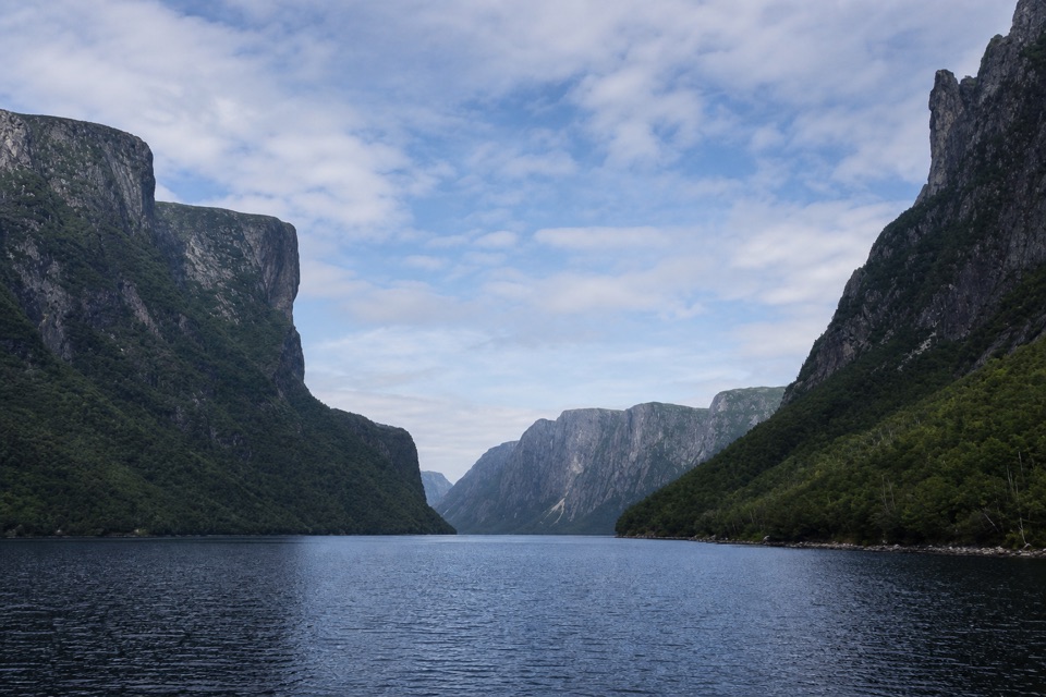 EasyWestern Brook Pond Trail: Scenic Loop6.3 km · 1.5 hr · At the trailheadA lowland shoreline circuit reaches a fjord framed by cliffs.
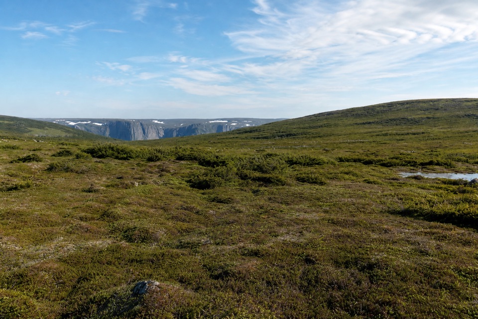 ChallengingSnug Harbour to North Rim26 km · 16 hr · At the trailheadTwo days to a cliff-top view above Western Brook Pond.
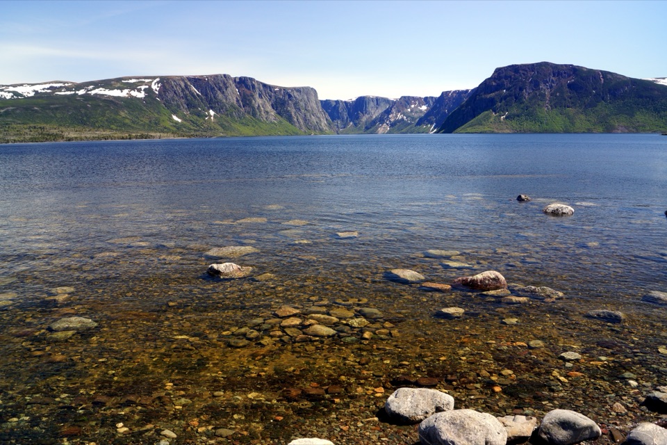 EasyWestern Brook Pond Trail6 km · 1.5 hr · At the trailheadAn easy walk to the foot of a fjord's cliffs.
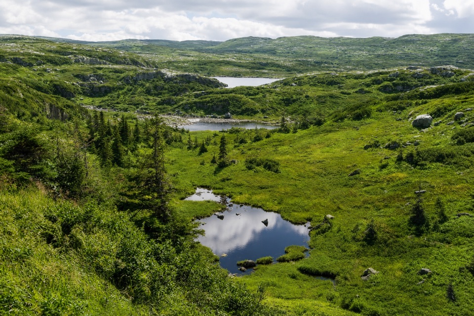 ChallengingCombined Northern and Long Range Traverse60 km · 6 days · At the trailheadA 60-km wilderness crossing over bog, ridges, and tuckamore.
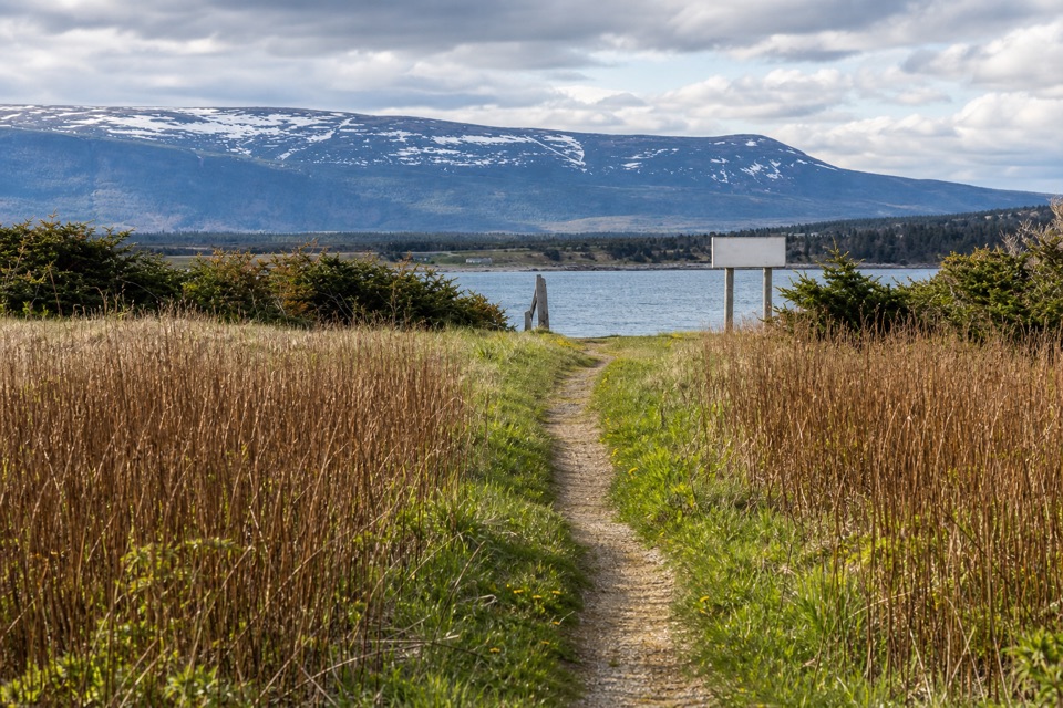 EasySteve's Trail1 km · 30 min · 5.4 km awayA short tuckamore walk opens to Western Brook’s coastal mouth.
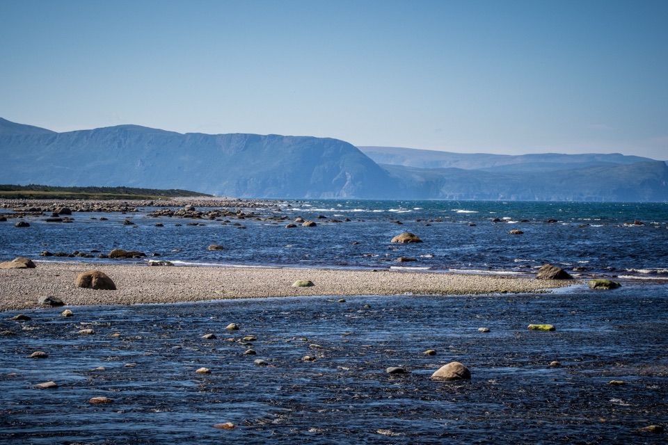 EasyCoastal Trail6 km · 1.5 hr · 15.7 km awayFollow the old mail road between cobble shore and wind-shaped tuckamore.
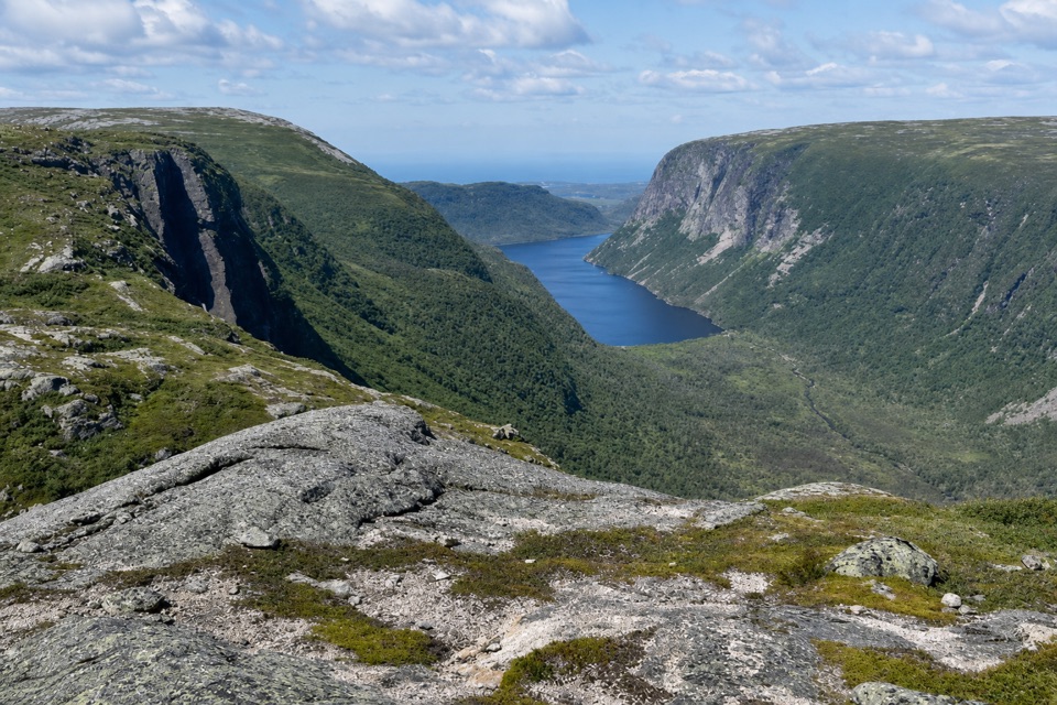 ChallengingLong Range Traverse35 km · 4 days · 17.4 km awayA rugged, unmarked crossing for skilled wilderness navigators.
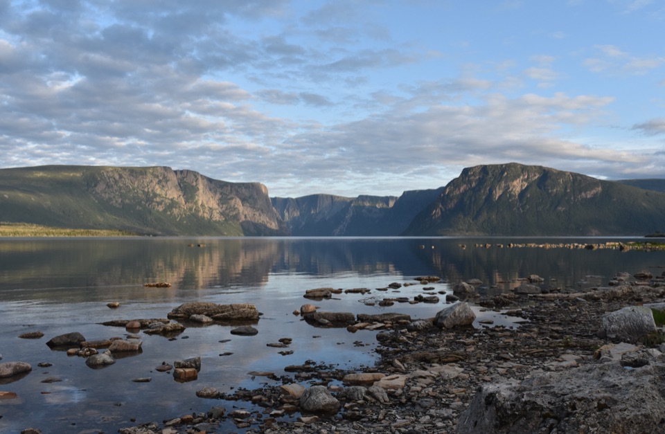 ChallengingNorthern Traverse33 km · 1 day · 17.4 km awayThree nights across unmarked ridges, bog, and wind-shaped tuckamore.
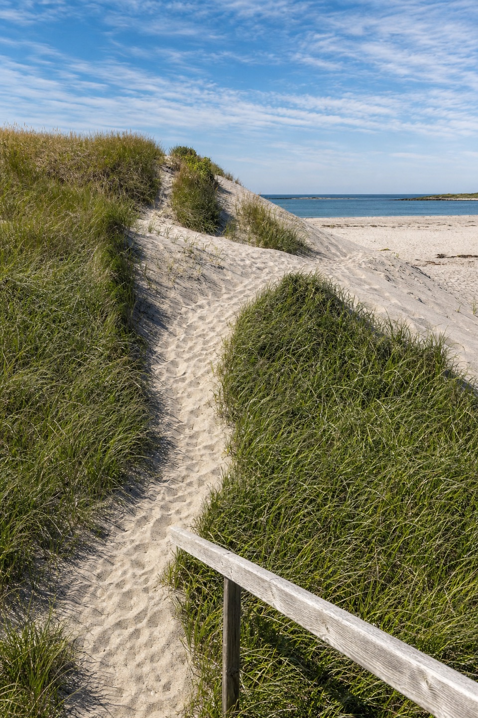 Beach · 4.5 km awayWestern Brook BeachA sandy stop at the mouth of Western Brook Pond fjord.
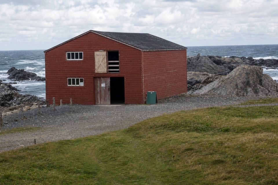 Sight · 5.5 km awayBroom Point Fishing PremisesThree brothers and their families shared one cabin each summer.
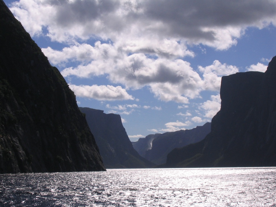 Sight · 9.5 km awayWestern Brook PondWalk into a landlocked fjord, then cruise beneath cliffs and waterfalls.
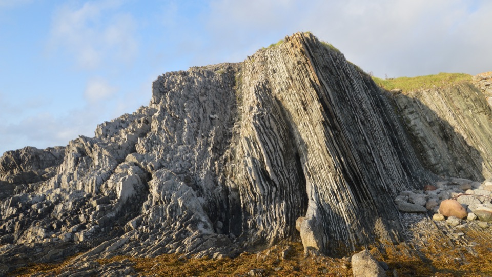 Sight · 13.3 km awayGreen Point Geological SiteA coastal rock sequence that defines a global time boundary.
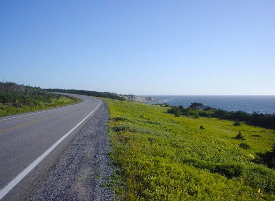 Campground · 13.6 km awayGreen Point CampgroundCamp beside a cobble beach with ocean-view pitches.
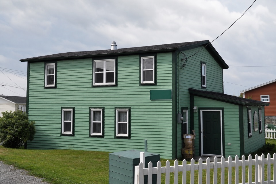 Sight · 15.1 km awayDr. Henry N. Payne Community Museum & Craft ShopA Cow Head house museum with a 700-year-old walrus skull.
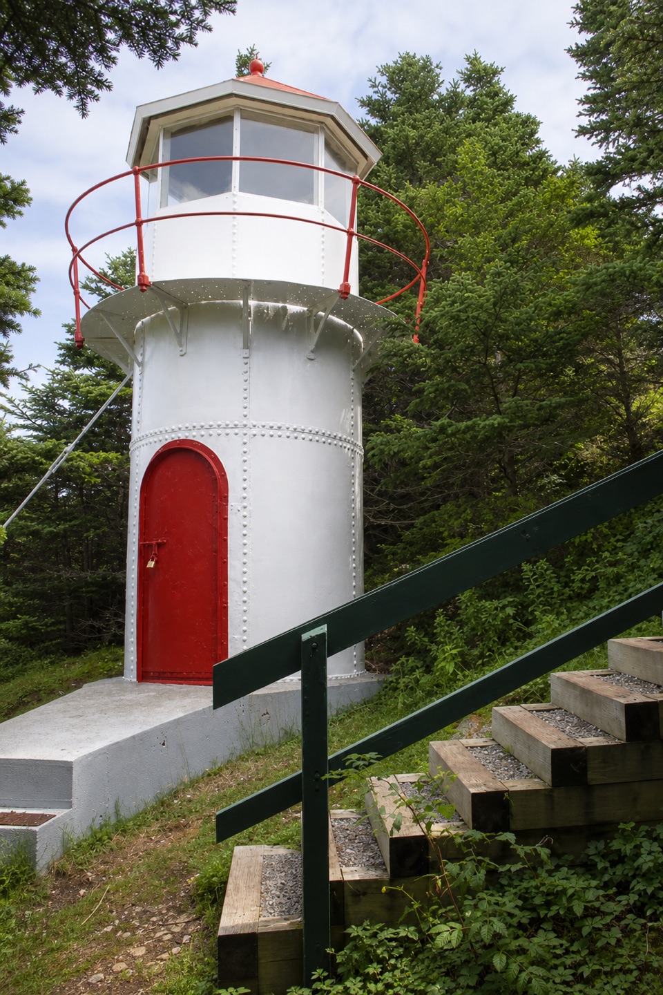 Sight · 15.4 km awayCow Head LighthouseA tiny 18-foot lighthouse tucked among trees on Cow Head’s coast.
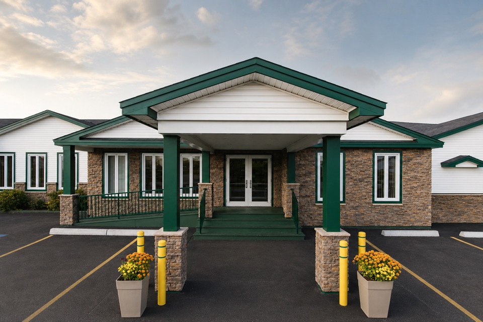 Lodging · 15.5 km awayShallow Bay Motel & CabinsA Cow Head base with cottages and a seafood restaurant.
Parkwolf’s Gros Morne ranking

The audio tour guide for the drive, plus offline maps, trails, and wildlife heatmaps for when the signal drops.