Parking
Start and finish at Western Brook Pond Trailhead.
#9 of 25 trails in Gros Morne
Gros Morne National Park, NL
Two days to a cliff-top view above Western Brook Pond.
Overview
Map & elevation
Plan your hike

The highest, rockiest slopes around here are a summer buffet for grizzly bears.
Gros Morne Tour Guide
Parkwolf is a GPS audio tour guide for Gros Morne National Park. As you drive, it chimes in with what’s ahead: hidden gems, upcoming stops, history, geology, and wildlife, right through your car’s speakers.
Recorded for this area
Western Brook Pond and the Fjord“You're coming up on the Western Brook Pond trailhead. Reaching the water takes a roughly six-kilometre return walk on a mostly level gravel path through bog and forest, so this isn't a quick roadside view.”
Plays near this trailhead in the Parkwolf Gros Morne Tour Guide.
More stories near here in the app
“Fantastic app with many points of information… It’s great to just turn on while you’re driving and it gives you an audio tour of the national Park. We love it!!!!”


Trail guide
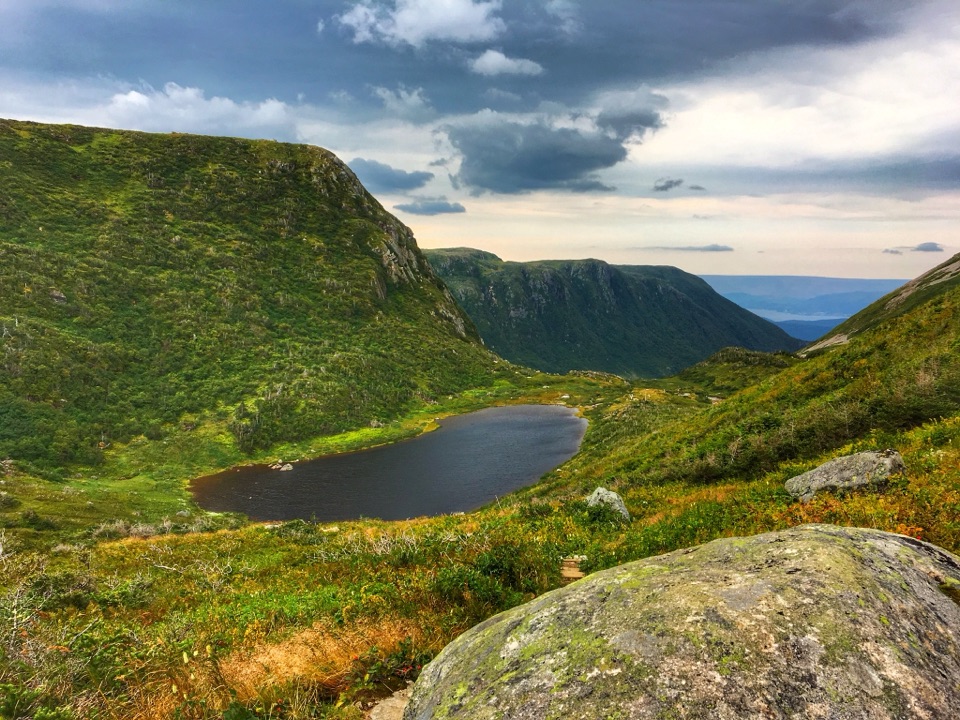
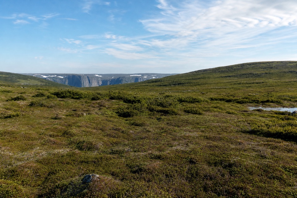
Snug Harbour to North Rim is a 26 km (16.2 mi) out-and-back from the Western Brook Pond Trailhead to an unmarked viewpoint over Western Brook Pond gorge. You follow the pond-side access and rough backcountry trail to Snug Harbour, then climb from the cove to the open North Rim plateau. The route returns along the same corridor, so its map line is one-way even though the listed distance is round-trip. This is the full North Rim overnight, not the shorter Snug Harbour day hike. The two-day trip earns the extra commitment: the cove sits below the pond’s 650 m cliffs, while the rim looks into the gorge from above.
This is a strenuous trip for fit hikers who can navigate away from signs and keep moving on poor footing. Budget 14–18 hours of travel time over two days, plus a night at camp. That’s a planning estimate, not an official walking-time figure: the last 1.5 km is off trail and the first approach can be very muddy. The official itinerary is two days, with one or two nights suggested at Snug Harbour. With one night, day two is long: the viewpoint lies about 5.5 km from camp, so a round trip to it plus the 7.5 km return to the trailhead makes roughly 18.5 km. A second night lets you split that effort. Don’t push onto the plateau in cloud; the destination is hard to find without visibility.
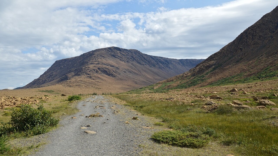
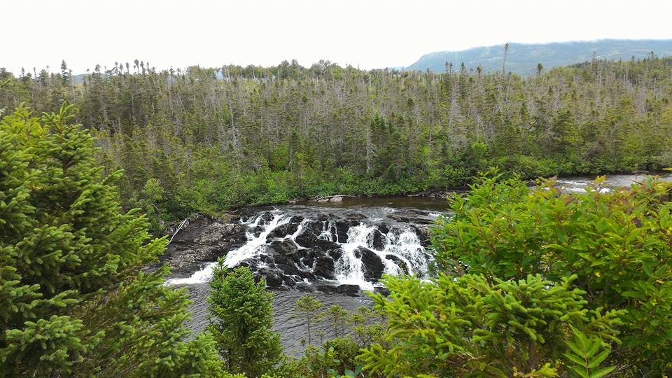
From Western Brook Pond Trailhead, the route follows the pond access to a crossing above the outflow. Western Brook is a real ford, not a bridge: after rain it can rise to 1 m, and the current and cold water matter as much as depth. Don’t cross if the water is high, moving strongly or unsafe to ford. Beyond that, the first 7.5 km combines shoreline and unmaintained, unmarked trail. Expect mud and overgrowth before you reach the secluded Snug Harbour cove and camp. The close view of the roughly 650 m escarpment from the cove is one of the trip’s quieter rewards.
From camp, walk about 350 m east along shore to the marked North Rim access. It climbs roughly 570 m over 4 km, with muddy or slippery tread and yellow tree markers in places, and ends near or above treeline. The last 1.5 km has no marked track. Cross the open plateau toward the viewpoint, going around dense tuckamore or using game paths. At the rim, the land drops about 600 m toward Western Brook Pond gorge; stay well back.
Reserve Snug Harbour campsite and get both a Primitive Camping Permit and a park entry permit; collect permits before 4 p.m. A pit toilet and food locker are at camp. Campfires aren’t allowed, so bring a stove. Keep dogs leashed under the park’s normal rules and follow any trailhead notice. Start and finish at Western Brook Pond Trailhead. The North Rim is the place to frame a photo: let the low scrub plateau lead toward the far cliff line and gorge below, but don’t approach the unprotected edge. Parking capacity, fees and food services weren’t stated in the route information, so check local park information and bring meals for the backcountry trip.
Wildlife
 252 sightingsMooseMost seen around 7 AMSighting map
 120 sightingsCaribouMost seen around 7 AMSighting map
 22 sightingsBlack BearMost seen around 7 PMSighting map
 61 sightingsBald EagleMost seen around 7 AMSighting map
 11 sightingsCommon Minke WhaleMost seen around noonSighting map
 70 sightingsHarbor SealMost seen around noonSighting map
Sighting maps show where each species has been reported across Gros Morne. Wildlife moves, so no sighting is guaranteed.
Keep exploring
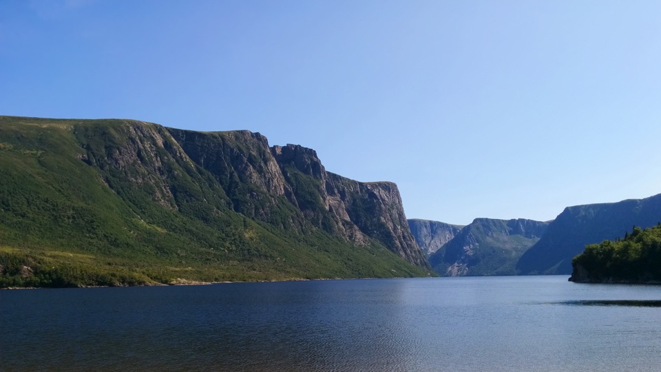 ChallengingSnug Harbour Trail15 km · 7 hr · At the trailheadA muddy, unmarked hike to the foot of 650-metre fjord cliffs.
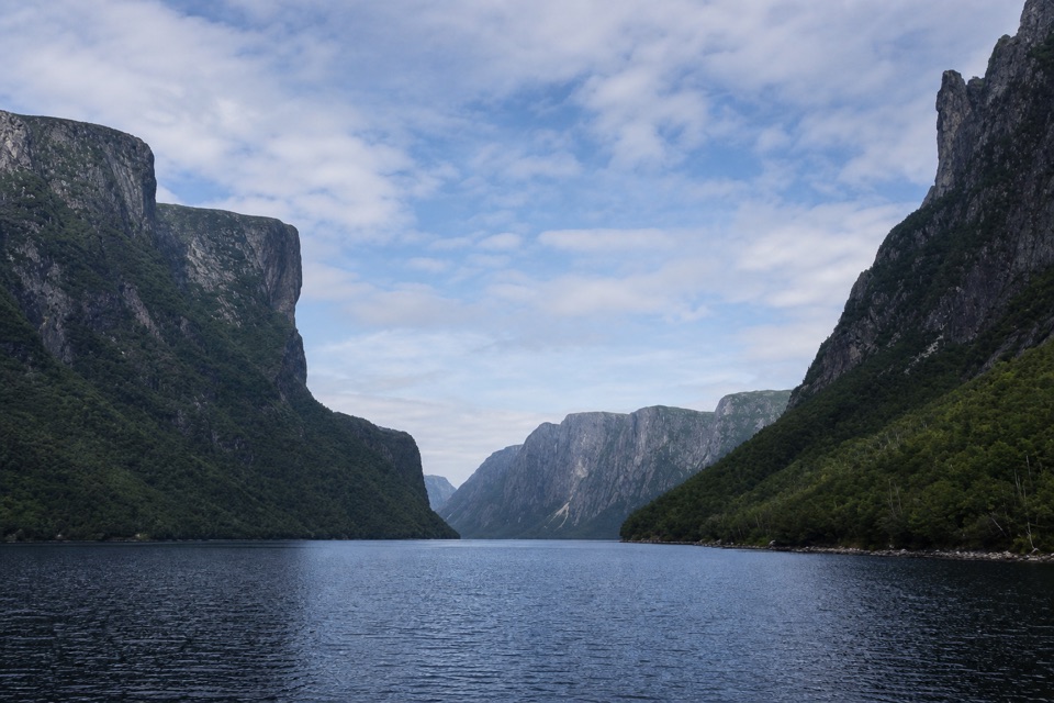 EasyWestern Brook Pond Trail: Scenic Loop6.3 km · 1.5 hr · At the trailheadA lowland shoreline circuit reaches a fjord framed by cliffs.
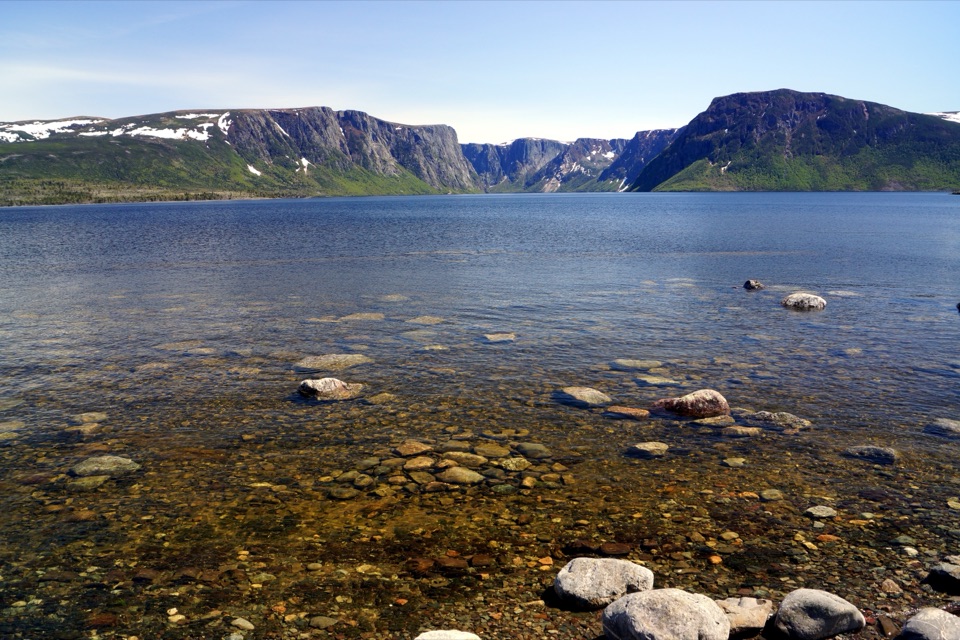 EasyWestern Brook Pond Trail6 km · 1.5 hr · At the trailheadAn easy walk to the foot of a fjord's cliffs.
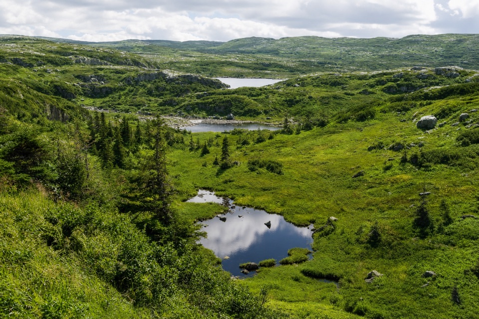 ChallengingCombined Northern and Long Range Traverse60 km · 6 days · At the trailheadA 60-km wilderness crossing over bog, ridges, and tuckamore.
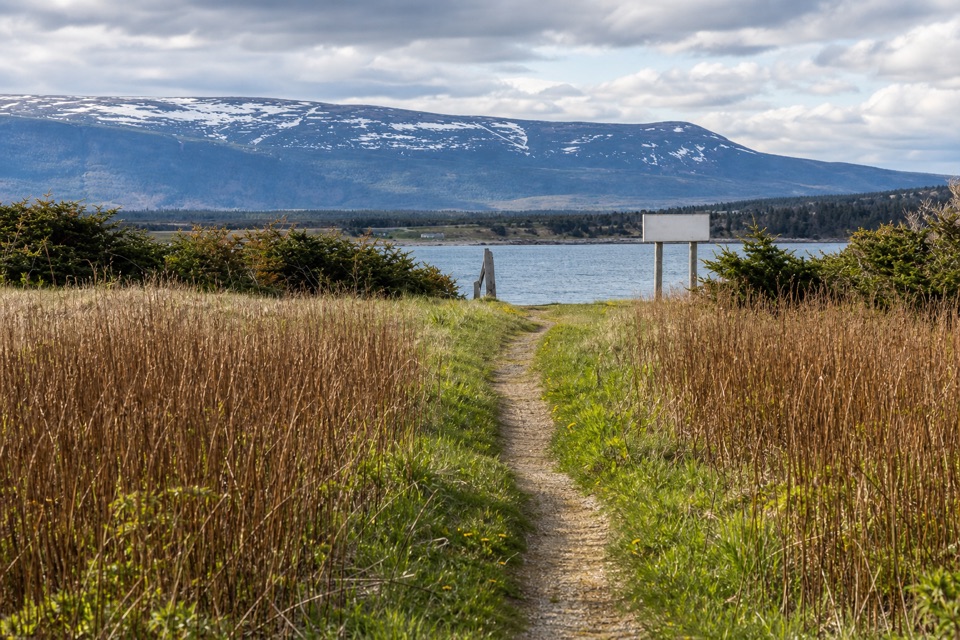 EasySteve's Trail1 km · 30 min · 5.4 km awayA short tuckamore walk opens to Western Brook’s coastal mouth.
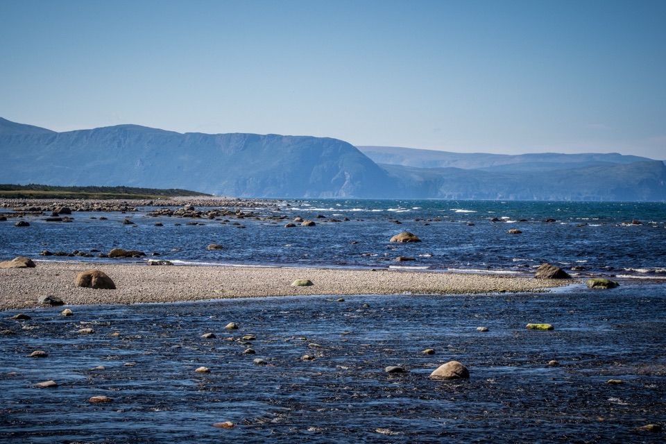 EasyCoastal Trail6 km · 1.5 hr · 15.7 km awayFollow the old mail road between cobble shore and wind-shaped tuckamore.
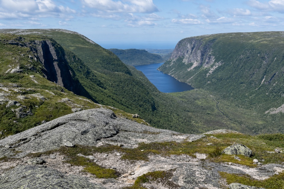 ChallengingLong Range Traverse35 km · 4 days · 17.4 km awayA rugged, unmarked crossing for skilled wilderness navigators.
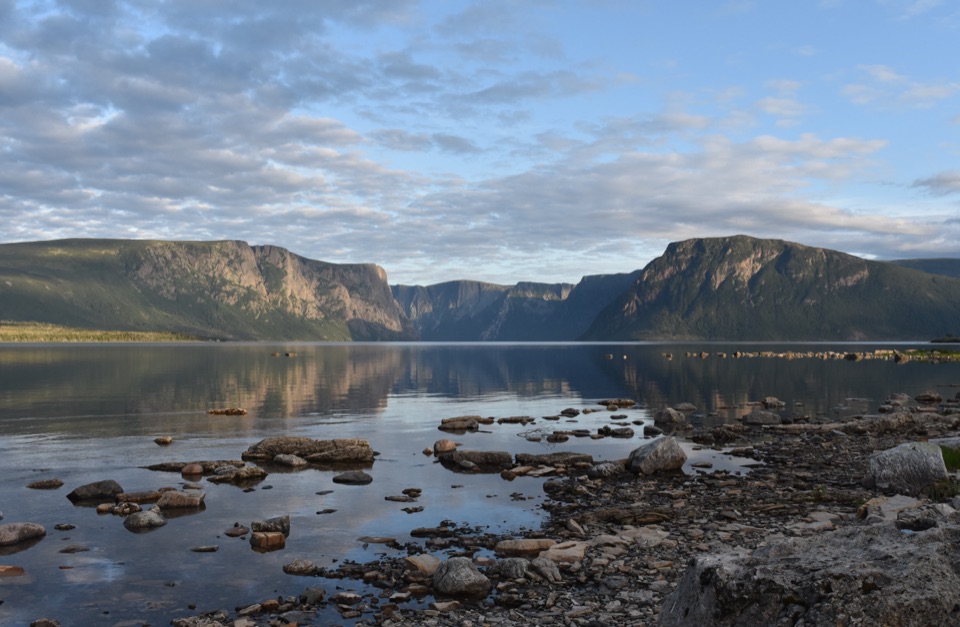 ChallengingNorthern Traverse33 km · 1 day · 17.4 km awayThree nights across unmarked ridges, bog, and wind-shaped tuckamore.
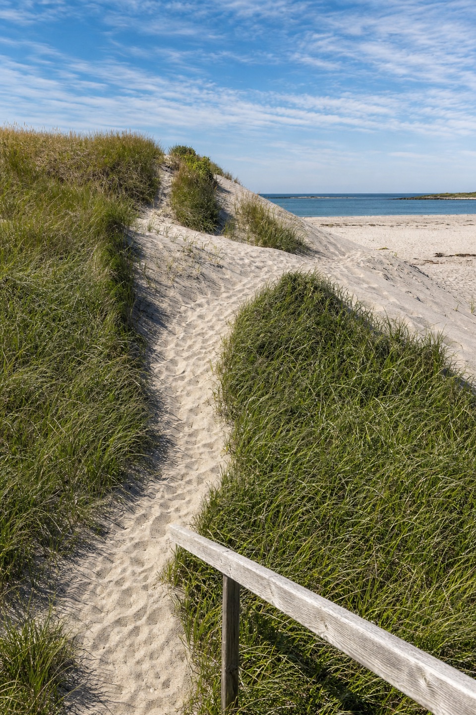 Beach · 4.5 km awayWestern Brook BeachA sandy stop at the mouth of Western Brook Pond fjord.
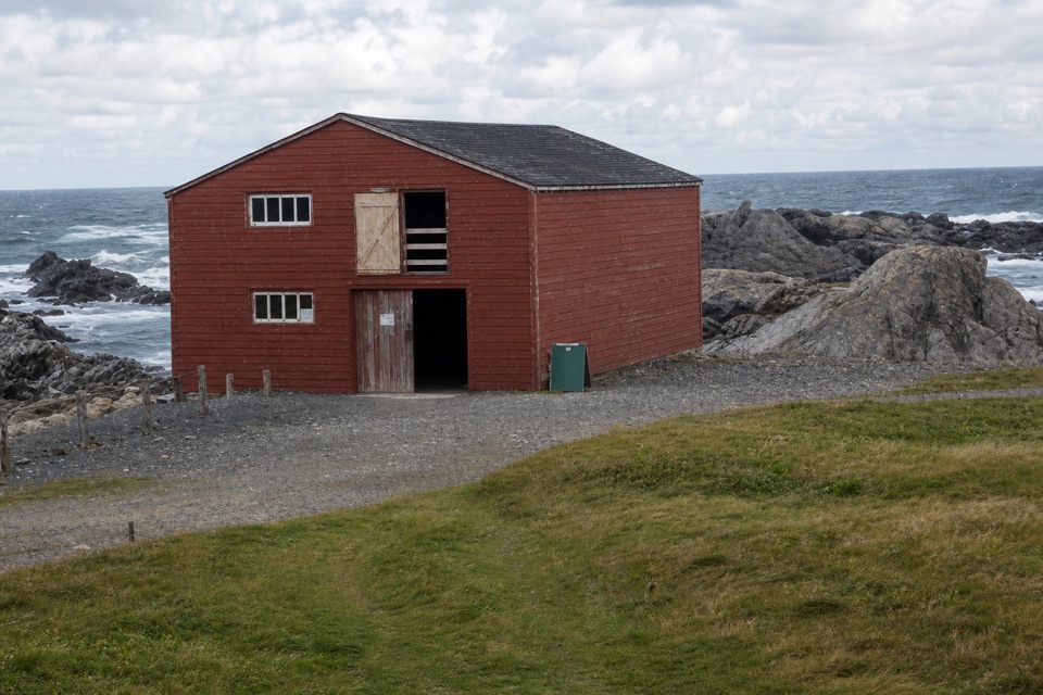 Sight · 5.5 km awayBroom Point Fishing PremisesThree brothers and their families shared one cabin each summer.
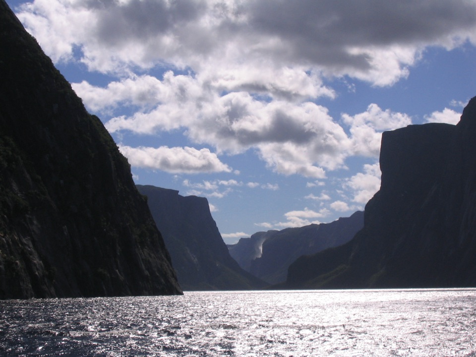 Sight · 9.5 km awayWestern Brook PondWalk into a landlocked fjord, then cruise beneath cliffs and waterfalls.
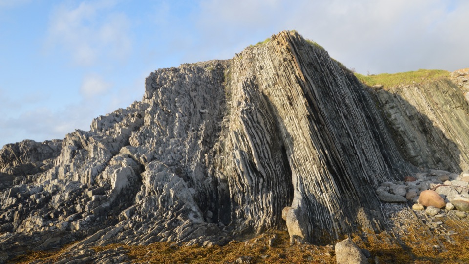 Sight · 13.3 km awayGreen Point Geological SiteA coastal rock sequence that defines a global time boundary.
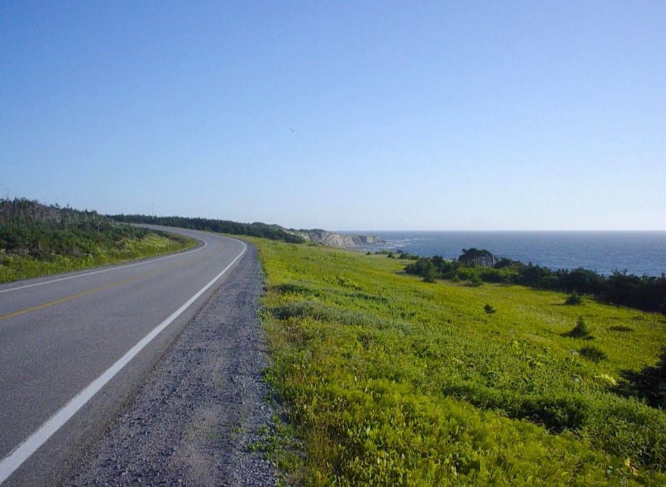 Campground · 13.6 km awayGreen Point CampgroundCamp beside a cobble beach with ocean-view pitches.
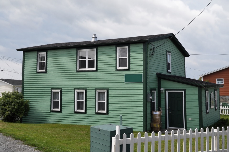 Sight · 15.1 km awayDr. Henry N. Payne Community Museum & Craft ShopA Cow Head house museum with a 700-year-old walrus skull.
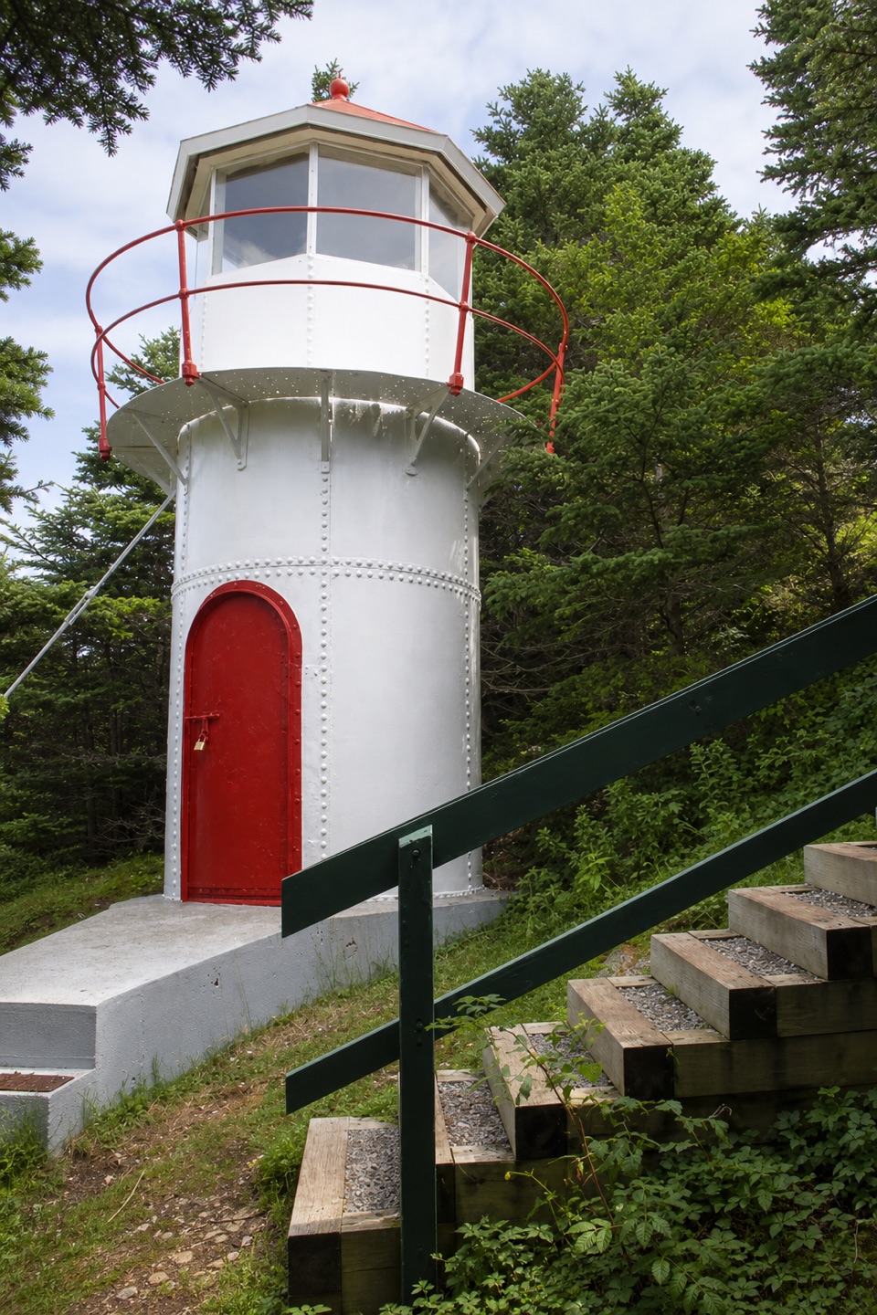 Sight · 15.4 km awayCow Head LighthouseA tiny 18-foot lighthouse tucked among trees on Cow Head’s coast.
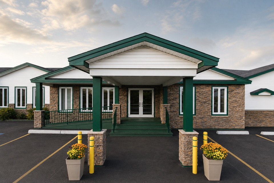 Lodging · 15.5 km awayShallow Bay Motel & CabinsA Cow Head base with cottages and a seafood restaurant.
Parkwolf’s Gros Morne ranking

The audio tour guide for the drive, plus offline maps, trails, and wildlife heatmaps for when the signal drops.