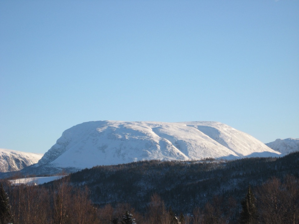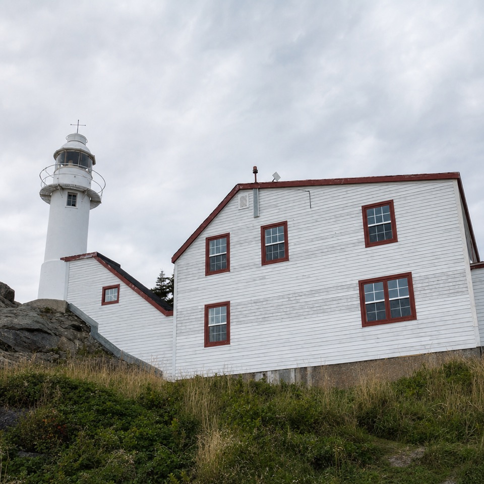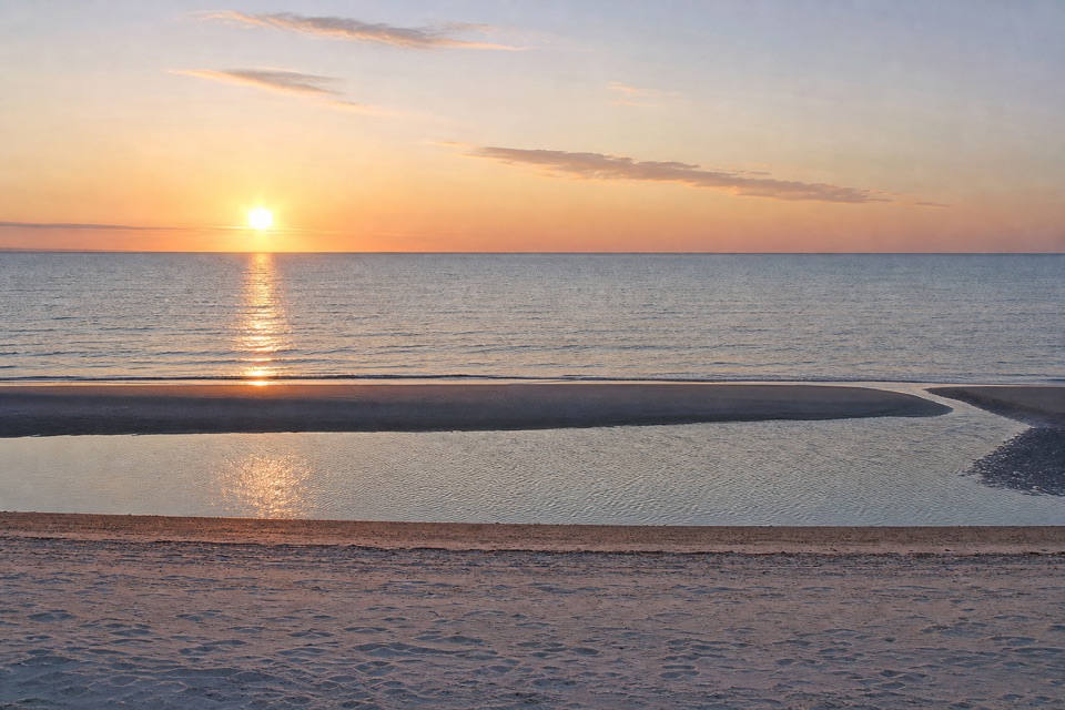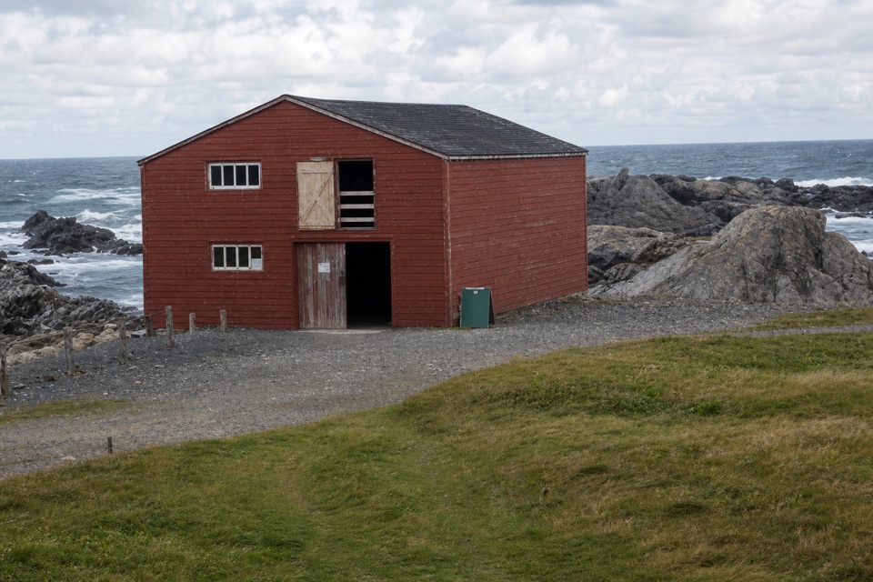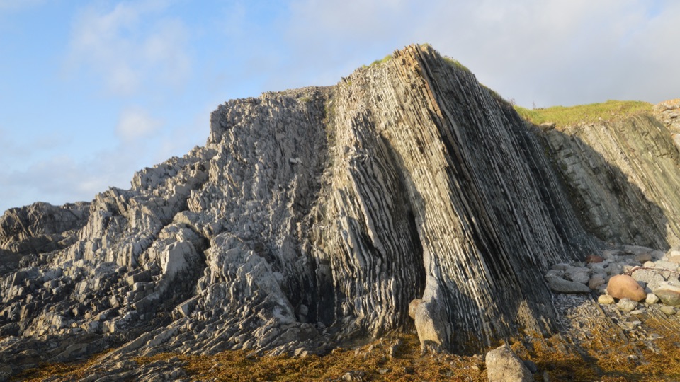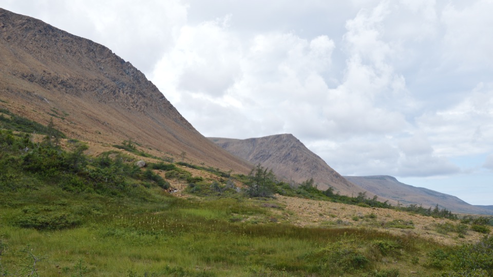
The Tablelands in Gros Morne National Park

#2 of 22 sights in Gros Morne

Sight · Gros Morne National Park

The Tablelands

Walk exposed mantle rock to a glacial canyon.

Photo: Wikimedia Commons
Type
Sight
Nearest trail
Right here
Audio stories
3 nearby
  • Parking
  • Restrooms
  • Scenic viewpoint

Hear the audio tour

The Tablelands and Winter House Brook Canyon

Overview

About The Tablelands

Why stop

  • Rust-orange barrens make a rare contrast with green hills and blue water.

Heads up

  • The summit route is steep, off-trail and unmarked.

Map

Where it is

Loading the Gros Morne map
Full map
SightThe Tablelands49.47820, -57.97380
Keep this map with you offline in the Parkwolf app

Plan your stop

Before you go

Getting there and choosing your walk

The trailhead is on Bonne Bay Road, also Route 431, between Woody Point and Trout River. A national park entry pass is required. A recent trail account reports a designated parking area and an outhouse near the start; the main Parks Canada page does not list those facilities, so check current park information if either is essential to your plans.

Stick to the standard trail if you want an easy walk through the exposed rock and out to the canyon. Climbing the steep slopes to the top is a separate off-trail outing: Parks Canada says there are no route markers and that route-finding and navigation skills are required. Ask park staff about safe route options before considering it.


3 active Gros Morne alerts

  • ClosureGreen Gardens and Wallace Brook trail sections closedDo not enter the closed sections of the Green Gardens and Wallace Brook trails.Official details
  • CautionStuckless Pond Trail bridge outDo not use the Stuckless Pond Trail at the stream crossing. - The bridge is out, and Parks Canada says trail use is not recommended at this time because of high water levels at the stream crossing.Official details
See all 3 alerts
A park ranger sits on a dash-mounted phone, talking, as Parkwolf’s Tour Guide plays “Army Cutworm Moths: A Grizzly Bear Buffet” on Grand Loop Road below Dunraven Pass in Yellowstone
Parkwolf Tour GuideThe highest, rockiest slopes around here are a summer buffet for grizzly bears.

Gros Morne Tour Guide

Your drive to The Tablelands, narrated.

Parkwolf is a GPS audio tour guide for Gros Morne National Park. As you drive, it chimes in with what’s ahead: hidden gems, upcoming stops, history, geology, and wildlife, right through your car’s speakers.

Recorded for this place

The Tablelands and Winter House Brook Canyon
0:00 / 0:27
“You're approaching the Tablelands trailhead. I'd take the easy four-kilometre return walk to Winter House Brook Canyon; the view into its steep walls isn't at the parking lot.”

Plays as you drive up to The Tablelands in the Parkwolf Gros Morne Tour Guide.

More stories near here in the app

  • Why the Tablelands Stay Bare
  • Why the Tablelands Look Rusty
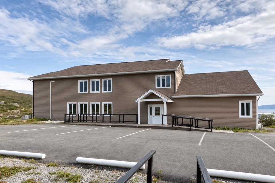
  • Gros Morne Discovery Centre
  • The Fire Written into Woody Point
  • 87 audio storiesacross Gros Morne’s roads, triggered by GPS as you drive
  • Wildlife heatmapsfor Moose, Caribou, Black Bear, and 13 more
  • Works offlinemaps, 25 trails, 58 places, and audio download before you lose signal
  • CarPlay readysimple controls built for the drive
★★★★★
“Fantastic app with many points of information… It’s great to just turn on while you’re driving and it gives you an audio tour of the national Park. We love it!!!!”
JMJamesApp Store review
Download Parkwolf on the App StoreGet Parkwolf on Google Play

4.7 from 8,600+ ratings

Guide

More about The Tablelands

What this mountain isThe Tablelands are a broad stretch of rust-orange peridotite in Gros Morne, where rocks brought…

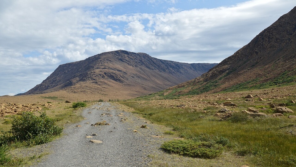
The Tablelands are a broad stretch of rust-orange peridotite in Gros Morne, where rocks brought up from deep in Earth’s mantle lie open at the surface. The standard Tablelands Trail gives you a close look without a hard climb: Parks Canada rates it easy, and the route is 4 km return from Route 431 along an old roadbed to Winter House Brook Canyon. If you have time for one short walk on this side of the park, this is the unusual one to choose.

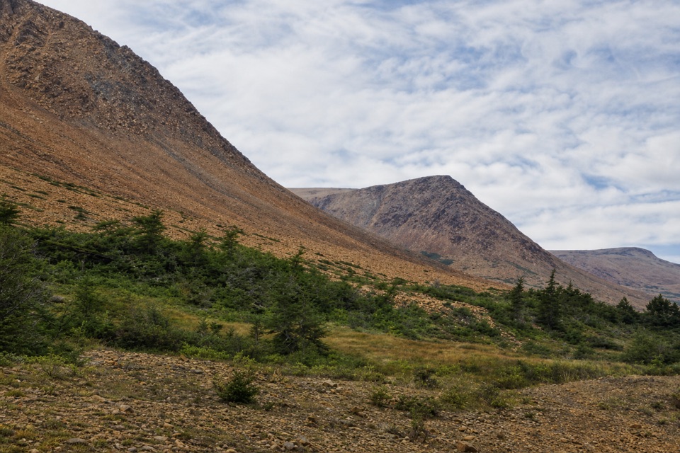
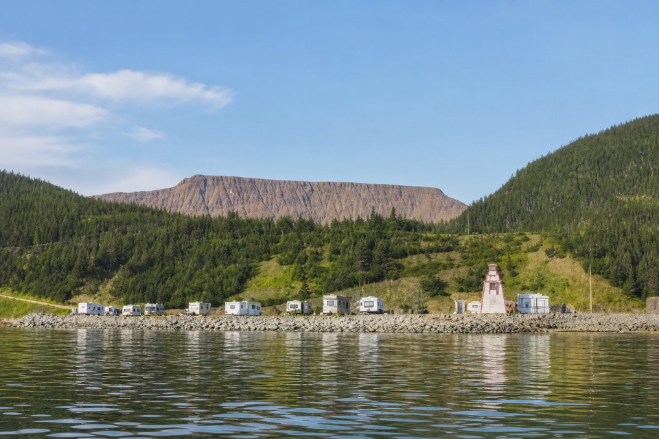
The contrast is the first thing you notice. Instead of the surrounding green hills, the Tablelands are sparse and rusty orange. Iron in the exposed rock oxidizes as it weathers, while its unusual mineral content and nutrient-poor soil leave room for a distinctive set of plants. Look low along the trail as well as out toward the bare slopes; a few hardy plants have adapted to conditions that keep most vegetation away.

Follow the roadbed to the canyonThe easy route skirts the mountain’s base, with broad views across the barren.

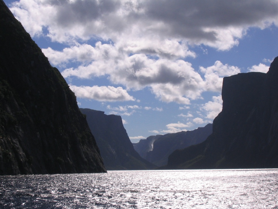
The easy route skirts the mountain’s base, with broad views across the barren. Near the end, the path reaches a boardwalk and viewing platform at the mouth of Winter House Brook Canyon. The canyon was carved by glaciers, and the payoff is looking upward into its steep walls. This is an out-and-back to the canyon, not a walk to the Tablelands’ summit; plan on doing the full route if you want that final view.

A shorter branch, the Serpentine Loop, is a way to spend less time on the main trail and see characteristic Tablelands plants close to the path. Parks Canada also offers a two-hour guided walk that explains the geology, glacial valleys and plant life. If you go on your own, download the park’s mobile tour before setting out; it is designed to work without cell service.

Rocks that changed how we understand EarthPeridotite normally forms deep in the mantle.

Peridotite normally forms deep in the mantle. About half a billion years ago, when ancient continents collided and the Appalachians began to form, mantle rock was pushed up onto the crust. More than 400 million years of erosion exposed the landscape we see now. The Tablelands helped geologists build the case for plate tectonics in the 1960s, so this is a geological landmark as well as a strange-looking mountain.

For a close photo, wait until the canyon platform and point the phone upward into the walls, leaving a little of the boardwalk in frame to show scale. The classic view takes the full 4 km return walk; it is not visible from the trailhead.

Wildlife

Wildlife in Gros Morne

All Gros Morne wildlife maps

Sighting maps show where each species has been reported across Gros Morne. Wildlife moves, so no sighting is guaranteed.

Parkwolf’s Gros Morne ranking

Top sights in Gros Morne

All 58 places
  1. 1Western Brook PondSight
  2. 3Gros Morne MountainSight
  3. 4Lobster Cove Head LighthouseSight
  4. 5Shallow Bay BeachBeach
  5. 6Broom Point Fishing PremisesSight
  6. 7Green Point Geological SiteSight

Take Parkwolf to Gros Morne.

The audio tour guide for the drive, plus offline maps, trails, and wildlife heatmaps for when the signal drops.

4.7 from 8,600+ ratings

Download Parkwolf on the App StoreGet Parkwolf on Google Play