1 active Guadalupe Mountains alert
- CautionDevil’s Hall wash dangerous when wetThe Devil’s Hall hike is strenuous, and its wash section is dangerous when wet or if water is present. - The wash requires rock scrambling.Official details
#4 of 18 sights in Guadalupe Mountains
Sight · Guadalupe Mountains National Park
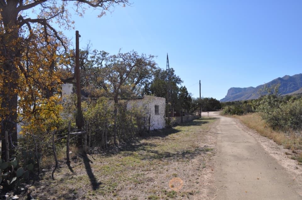
A spring-fed ranch oasis with a schoolhouse and orchard.
Overview
Map
Plan your stop

The highest, rockiest slopes around here are a summer buffet for grizzly bears.
Guadalupe Mountains Tour Guide
Parkwolf is a GPS audio tour guide for Guadalupe Mountains National Park. As you drive, it chimes in with what’s ahead: hidden gems, upcoming stops, history, geology, and wildlife, right through your car’s speakers.
Recorded for this place
Frijole Ranch: An Orchard Fed by Springs“You're approaching Frijole Ranch, where spring water supported an orchard and a small ranching community. Stop for the old stone house, one-room schoolhouse and shaded grounds.”
Plays as you drive up to Frijole Ranch Museum in the Parkwolf Guadalupe Mountains Tour Guide.
More stories near here in the app
“Fantastic app with many points of information… It’s great to just turn on while you’re driving and it gives you an audio tour of the national Park. We love it!!!!”


Guide
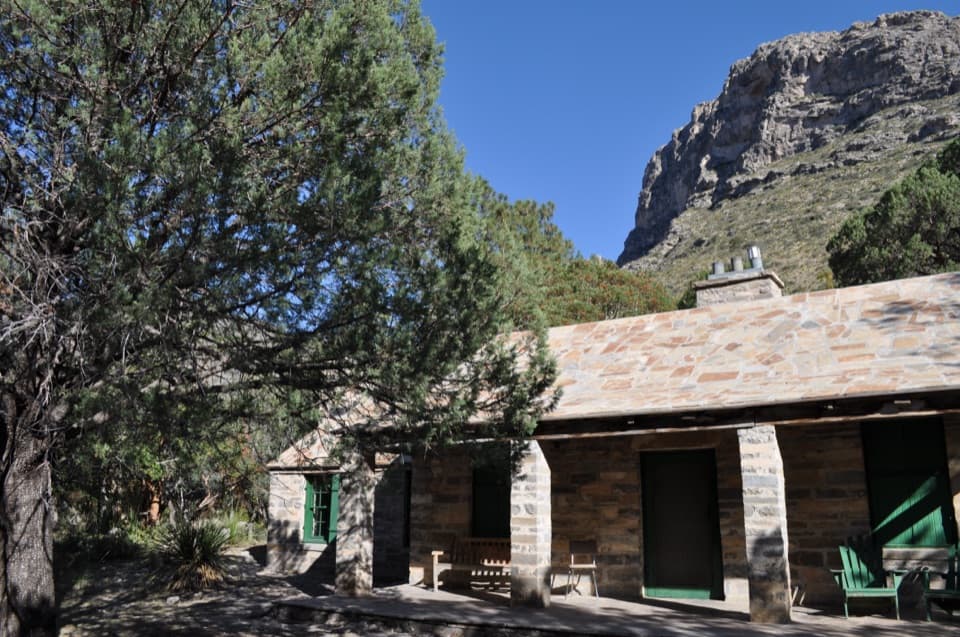
Frijole Ranch Museum is a historic ranch compound on the lower eastern slopes of the Guadalupe Mountains. The former headquarters house holds the museum; around Frijole Spring are a one-room schoolhouse, spring house, orchard and the remains of a working water system. It is a quieter, grounded stop between the park’s high-country hikes: a place to see how people made a home and a farm in this dry landscape.
You can walk the grounds even when the museum interior is closed. The interior opens seasonally when staff or volunteers are available, so check current access before making the displays the main reason for coming. A short walk from the parking area brings you to the compound. Restrooms and picnic tables are by the nearby parking area, but there is no food service at the ranch; bring what you want to eat.
Shade trees, grass and spring-fed channels make a striking pocket of green against the surrounding dry slopes. At dawn and dusk, birds and other wildlife are more likely to visit the water and shade. For a photo, frame one of the white stone buildings through the oaks and leave some of the ridge in the background; that contrast is what makes the ranch’s setting distinctive. The Smith Spring loop also begins here, but treat it as a separate hike; parts of the route are exposed and can feel hot.
The Rader brothers built the first substantial permanent structure here in 1876, about 40 feet from Frijole Spring. Its double walls of native stone, packed with mud between them, were made for a place where water mattered. The spring was the reason this compound could grow beyond a house.
People used the spring long before the ranch was built. Archaeological traces around the site include Mescalero Apache cooking pits and middens, evidence of a much older human presence in these foothills. The ranch buildings tell only part of Frijole’s story.
John T. Smith filed for the land in 1906 and called it Spring Hill Ranch until 1912. His family developed a 15-acre orchard and garden using spring water, growing apples, peaches, apricots, plums, pears, figs, pecans, berries and corn. They hauled produce about 65 miles to Van Horn to sell it, a two-day wagon trip. A hydraulic Ram Jet pump lifted water to a yard tower and storage tank, part of the system that made the farm possible.
A one-room schoolhouse built in 1921 served up to eight children from the Smith family and nearby ranches. The teacher received room, board, a horse and $30 a month. From 1916 to 1942, Frijole Ranch also served as the area’s post office; mail came three times a week from Carlsbad, New Mexico.
J.C. Hunter bought the property in 1942; the house became headquarters for ranch foreman Noel Kincaid and his family. Hunter’s conservation efforts helped shape the idea of protecting the area, and in 1966 his son sold the 67,312-acre ranch to the federal government. The house later served as a ranger residence and park office before opening as a museum in 1992.
Wildlife
 33 sightingsAoudadMost seen around 6 AMSighting map
 162 sightingsMule DeerMost seen around 6 AMSighting map
 11 sightingsWild TurkeyMost seen around 7 AMSighting map
 34 sightingsCollared PeccaryMost seen around 7 AMSighting map
 37 sightingsDiamondback RattlesnakeMost seen around 6 PMSighting map
 42 sightingsBlack-tailed RattlesnakeMost seen around 7 PMSighting map
Sighting maps show where each species has been reported across Guadalupe Mountains. Wildlife moves, so no sighting is guaranteed.
Keep exploring
 ModerateSmith Spring Trail Loop2.3 mi · 1.5 hr · At the trailheadA desert loop to a shady spring and tiny waterfall.
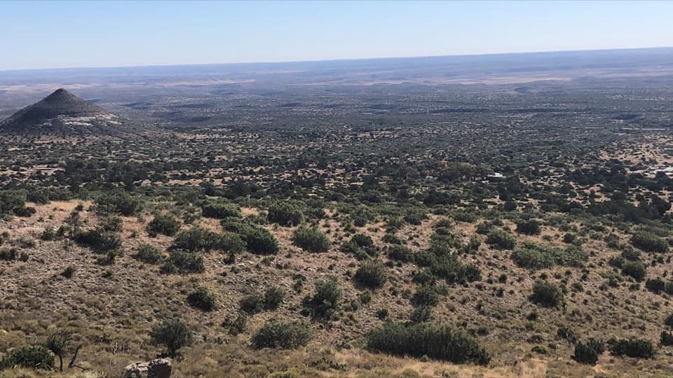 ModerateFoothills Loop4.5 mi · 3 hr · 0.1 mi awayOpen grassland and juniper, with Bear Canyon and El Capitan views.
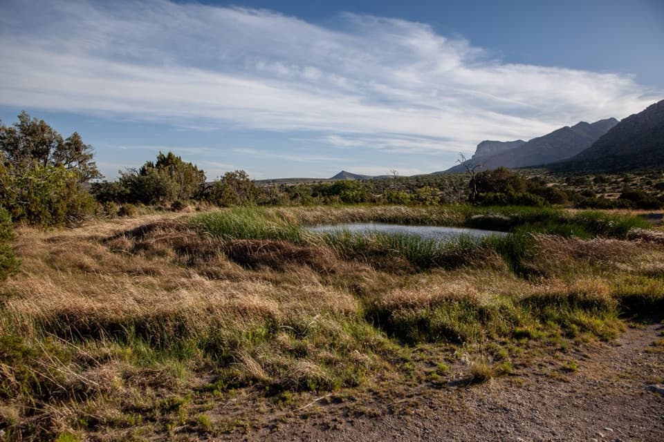 EasyManzanita Spring Trail0.5 mi · 24 min · 0.1 mi awayA short paved walk through an old orchard to a spring.
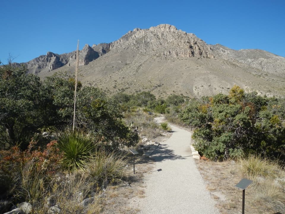 EasyPinery Trail0.8 mi · 25 min · 1.6 mi awayA quick paved walk to an 1858 Butterfield stage station.
 ChallengingHunter Peak Loop8.7 mi · 7 hr · 1.8 mi awayBear Canyon up, Tejas down, and a summit over the desert.
 ChallengingDevil's Hall Trail4.2 mi · 4 hr · 1.8 mi awayBoulder scrambling leads to a natural staircase and narrow canyon hall.
 ChallengingBowl Trail11 mi · 9 hr · 1.8 mi awayA long Tejas climb reaches a remnant forest in the high country.
 ChallengingSalt Basin Overlook Trail11.3 mi · 8 hr · 1.8 mi awayA long, open loop to the Salt Basin’s wide western views.
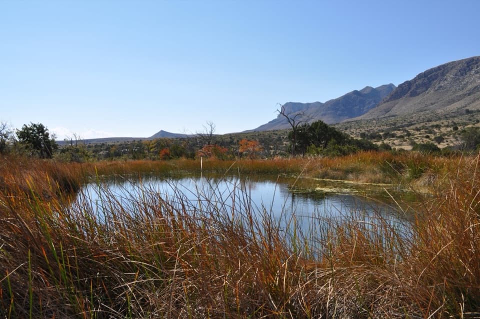 Sight · 0.2 mi awayManzanita SpringShort spring walk, ranch history, and a chance to see desert birds.
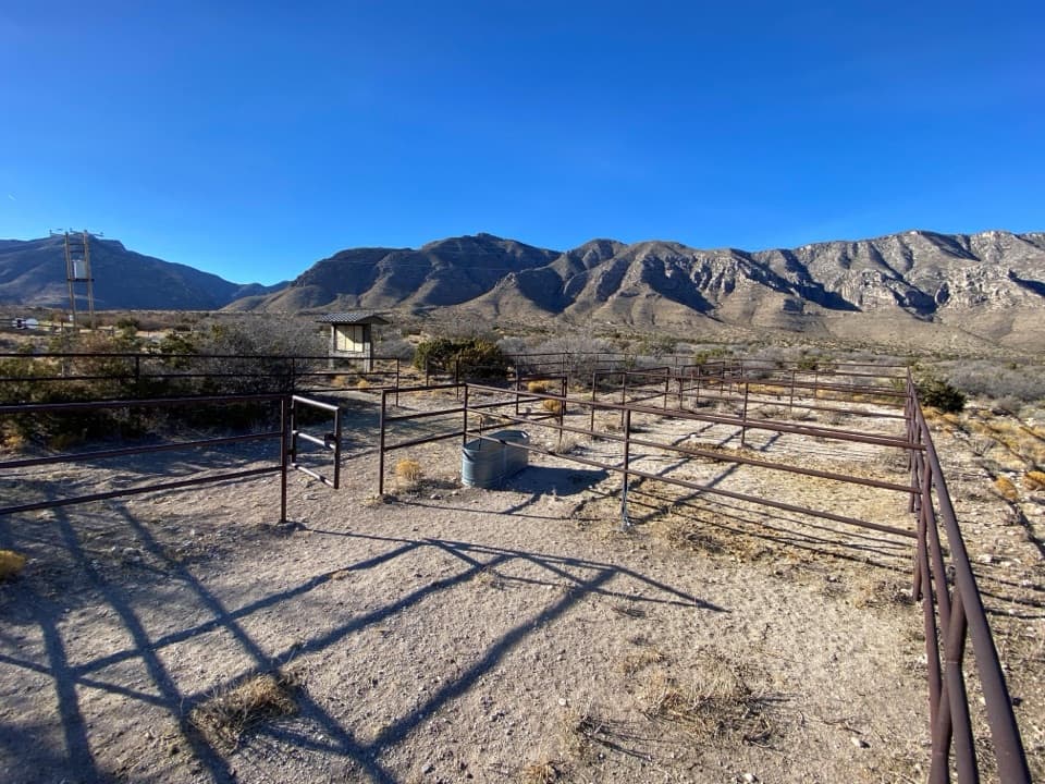 Campground · 0.6 mi awayFrijole Horse Corral CampgroundHorse camping with a clear view of the park's high peaks.Sight · 0.8 mi awaySmith SpringA small cascade feeds a shady pool under the eastern escarpment.
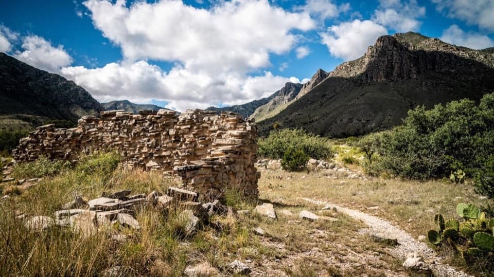 Sight · 1.3 mi awayThe PineryAn easy walk to the Butterfield route's highest station.
 Visitor center · 1.5 mi awayPine Springs Visitor CenterStart here for permits, maps, and advice before your hike.
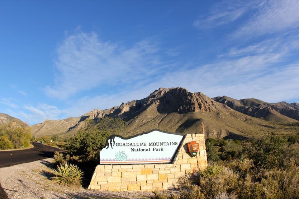 Sight · 1.5 mi awayGuadalupe Mountains National Park Entrance Sign (Pine Springs)A quick entrance photo with Hunter Peak behind the sign.
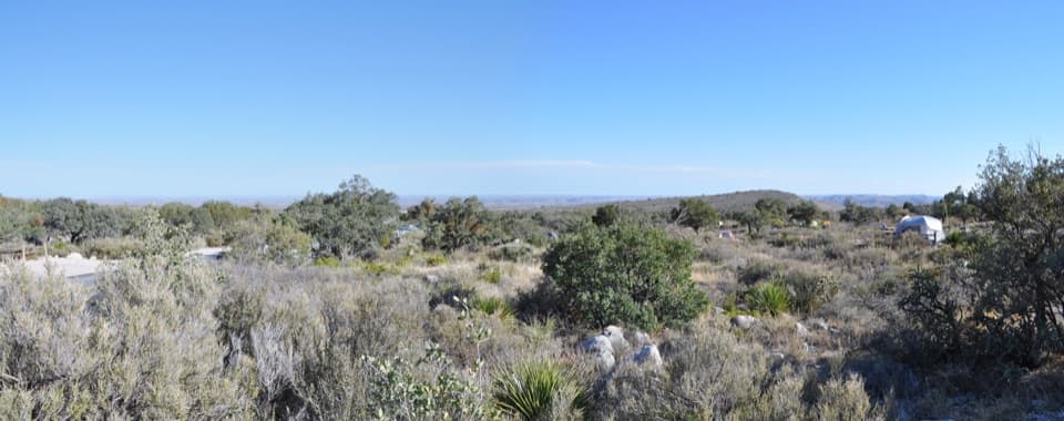 Campground · 1.7 mi awayPine Springs CampgroundA practical hiking base with tent sites, RV space, and mountain views.
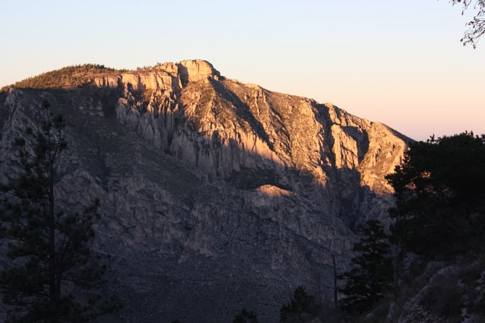 Sight · 1.8 mi awayHunter PeakA full-day climb to broad views from Texas’s sixth-highest peak.
Parkwolf’s Guadalupe Mountains ranking

The audio tour guide for the drive, plus offline maps, trails, and wildlife heatmaps for when the signal drops.