1 active Guadalupe Mountains alert
- CautionDevil’s Hall wash dangerous when wetThe Devil’s Hall hike is strenuous, and its wash section is dangerous when wet or if water is present. - The wash requires rock scrambling.Official details
#3 of 18 sights in Guadalupe Mountains
Sight · Guadalupe Mountains National Park
A roadside look at an ancient reef towering over the desert.
Overview
Map
Plan your stop

The highest, rockiest slopes around here are a summer buffet for grizzly bears.
Guadalupe Mountains Tour Guide
Parkwolf is a GPS audio tour guide for Guadalupe Mountains National Park. As you drive, it chimes in with what’s ahead: hidden gems, upcoming stops, history, geology, and wildlife, right through your car’s speakers.
Recorded for this place
El Capitan Viewpoint: A Reef Above the Road“Up ahead is El Capitan Viewpoint, a quick roadside stop for the sheer limestone face above the desert. Use the signed pullout on your side of the highway.”
Plays as you drive up to El Capitan Viewpoint in the Parkwolf Guadalupe Mountains Tour Guide.
More stories near here in the app
“Fantastic app with many points of information… It’s great to just turn on while you’re driving and it gives you an audio tour of the national Park. We love it!!!!”


Guide
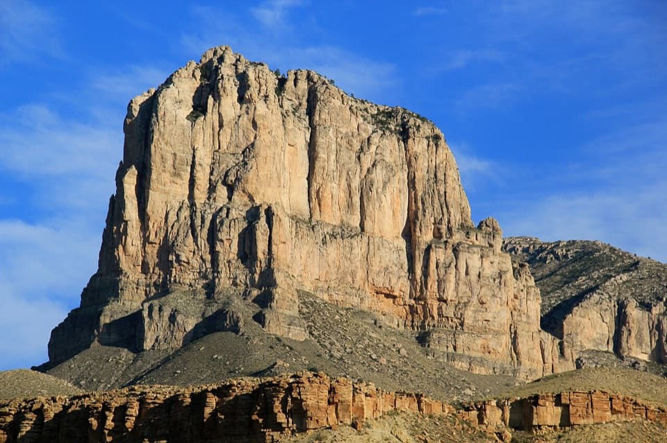
El Capitan Viewpoint is a roadside scenic pullout on US 62/180 as the highway climbs Guadalupe Pass, a few miles west of Pine Springs. El Capitan’s sheer limestone face rises roughly 3,000 feet above the road, with the Salt Basin spreading beyond it. This is an easy few minutes off the drive for a defining view of the park’s southern end; save a longer visit for a hike elsewhere.
Pull-offs serve both directions of the highway. The mapped rest area aligns with the westbound stop about 4.5 miles from Pine Springs, but use the signed pullout on your own side; don’t cross traffic to reach the other one. The highway is paved, while pull-off surfaces range from dirt to developed facilities, so don’t assume step-free access or room for a large RV. Plan a restroom stop elsewhere: the pull-off has no confirmed public restroom, and a Texas rest area north of the park has accessible facilities.
El Capitan is a massive block of Capitan Reef limestone, the remains of a Permian reef formed about 260 to 265 million years ago in the Delaware Sea. Algae, sponges and tiny colonial animals helped build it; it was not a modern coral reef. After the sea evaporated, salt and mud buried the reef. Later uplift, faulting and erosion exposed the hard limestone as the high cliff you see today.
The cliff is the star, but the broad view reaches across the Salt Basin to the south and southwest, with the Sierra Diablo in the distance. Look along the lower slopes and nearby roadcuts too: sandstone and siltstone record deposits laid down in deep water along the reef’s outer slope.
El Capitan’s visibility from many directions made it a signal peak for travelers long before the national park existed. A historical marker at the roadside recounts regional stories about hidden gold connected with Spanish expeditions, Geronimo and prospector Ben Sublett; treat them as legends, not evidence of a discovery.
Covered picnic tables make this a pleasant place to stretch your legs or eat what you brought; there’s no food service to count on. For a photograph, keep some basin floor or rocky foreground beneath the limestone wall so the cliff’s height reads against the low desert. Late-day light can bring out the wall’s texture, though the broad view is best when haze is low.
Wildlife
 33 sightingsAoudadMost seen around 6 AMSighting map
 162 sightingsMule DeerMost seen around 6 AMSighting map
 11 sightingsWild TurkeyMost seen around 7 AMSighting map
 34 sightingsCollared PeccaryMost seen around 7 AMSighting map
 37 sightingsDiamondback RattlesnakeMost seen around 6 PMSighting map
 42 sightingsBlack-tailed RattlesnakeMost seen around 7 PMSighting map
Sighting maps show where each species has been reported across Guadalupe Mountains. Wildlife moves, so no sighting is guaranteed.
Keep exploring
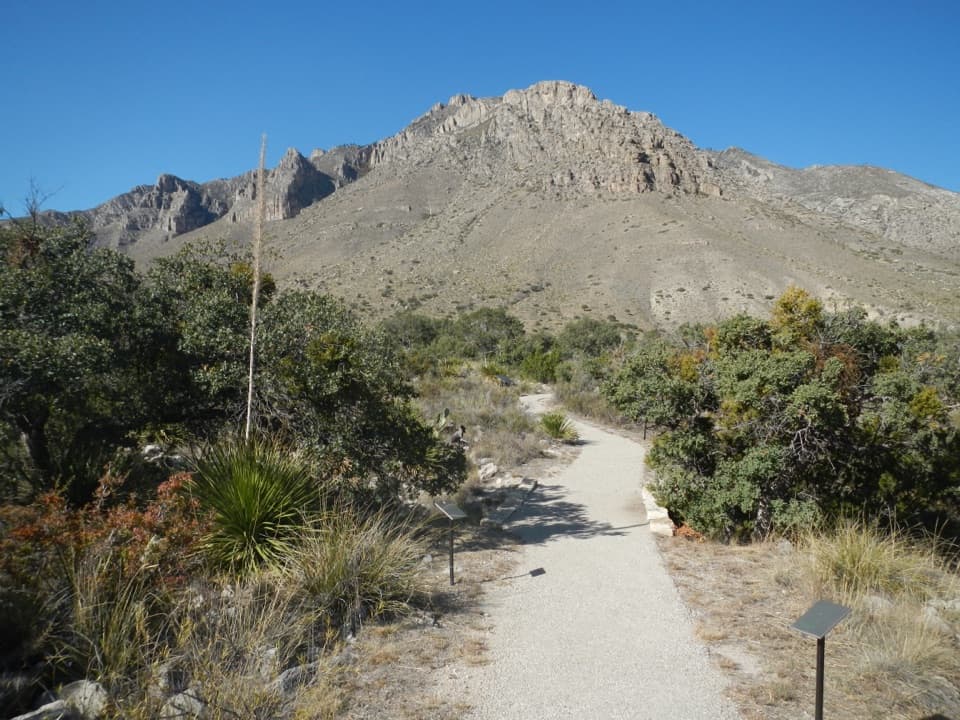 EasyPinery Trail0.8 mi · 25 min · 3 mi awayA quick paved walk to an 1858 Butterfield stage station.
 ChallengingHunter Peak Loop8.7 mi · 7 hr · 3.1 mi awayBear Canyon up, Tejas down, and a summit over the desert.
 ChallengingDevil's Hall Trail4.2 mi · 4 hr · 3.1 mi awayBoulder scrambling leads to a natural staircase and narrow canyon hall.
 ChallengingBowl Trail11 mi · 9 hr · 3.1 mi awayA long Tejas climb reaches a remnant forest in the high country.
 ChallengingSalt Basin Overlook Trail11.3 mi · 8 hr · 3.1 mi awayA long, open loop to the Salt Basin’s wide western views.
 ChallengingBush Mountain Summit Hike13.3 mi · 8.5 hr · 3.1 mi awayA long ridge hike to Texas’s second-highest summit.
 ChallengingTejas Thru Hike11.8 mi · 8 hr · 3.1 mi awayCross the park’s high country from the Bowl to Dog Canyon.
 ChallengingPine Springs to McKittrick Canyon18.8 mi · 14 hr · 3.1 mi awayA long high-country traverse ending in South McKittrick Canyon.
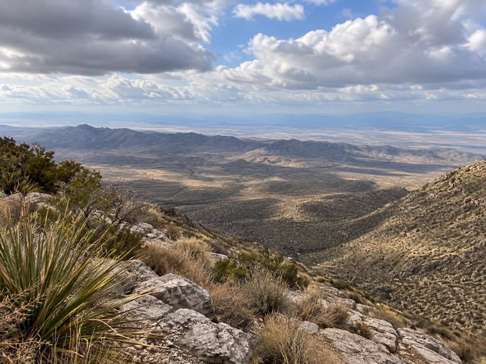 Sight · 1.2 mi awaySalt Basin OverlookA long, exposed hike ends at a west-facing salt-basin overlook.
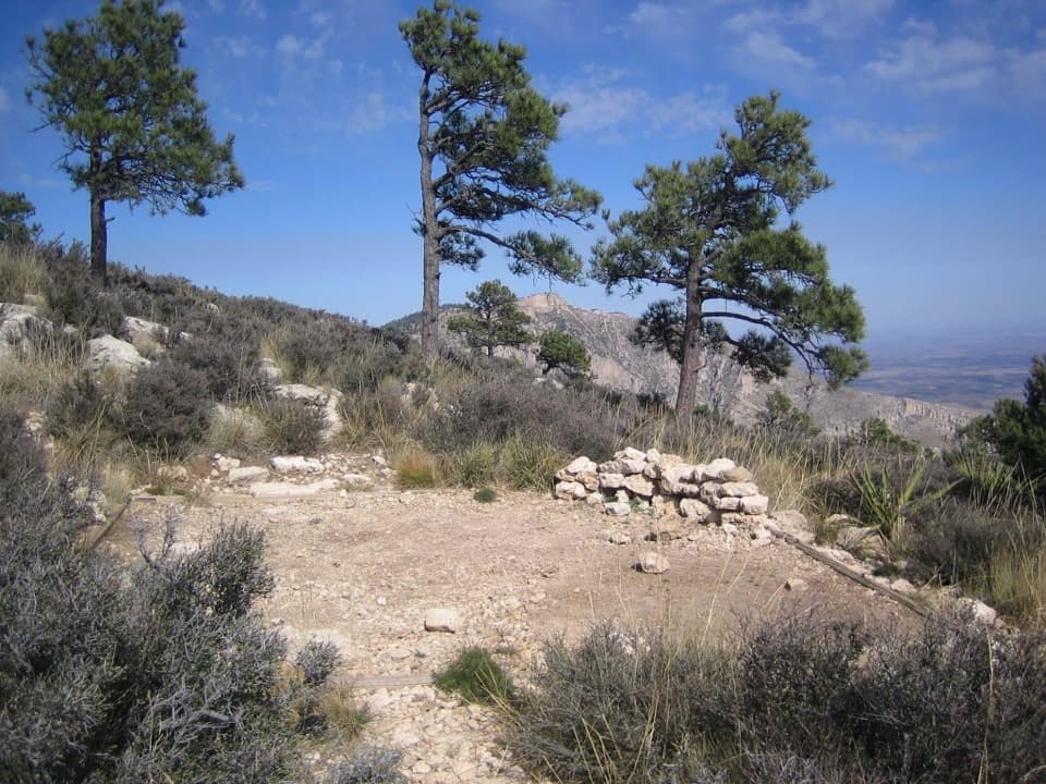 Campground · 2.8 mi awayGuadalupe Peak Wilderness CampgroundOvernight on the steep climb to Guadalupe Peak.
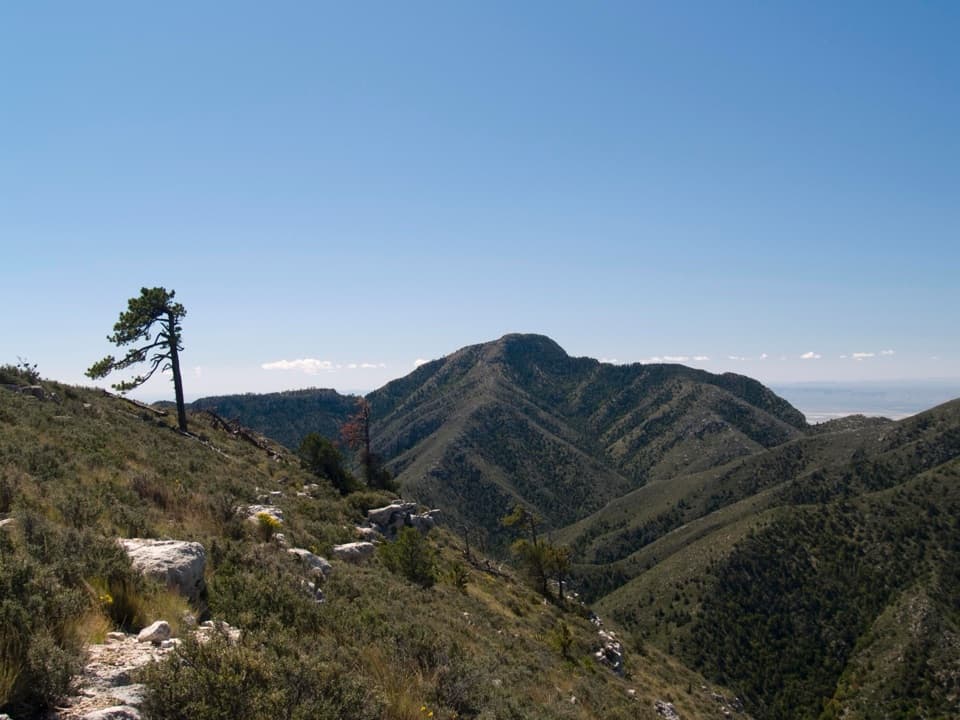 Sight · 2.8 mi awayGuadalupe PeakA steep, rocky hike reaches Texas' highest natural point.
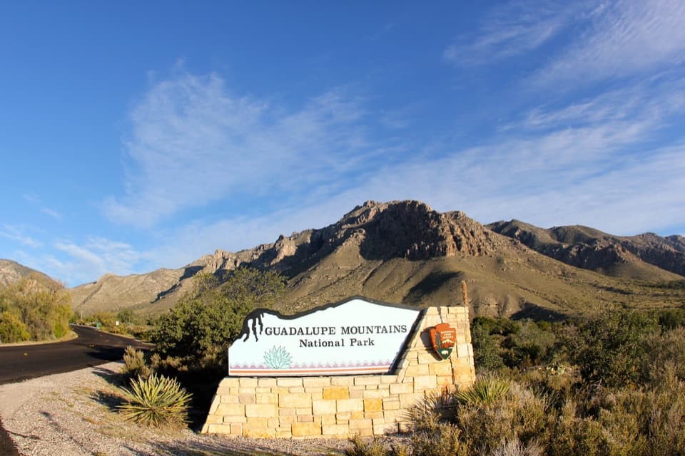 Sight · 3 mi awayGuadalupe Mountains National Park Entrance Sign (Pine Springs)A quick entrance photo with Hunter Peak behind the sign.
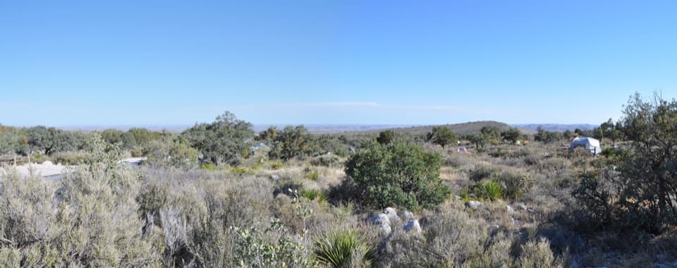 Campground · 3 mi awayPine Springs CampgroundA practical hiking base with tent sites, RV space, and mountain views.
 Visitor center · 3.1 mi awayPine Springs Visitor CenterStart here for permits, maps, and advice before your hike.
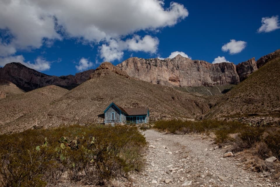 Sight · 3.1 mi awayWilliams RanchA 1908 ranch house beneath Guadalupe's western escarpment.
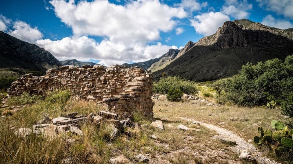 Sight · 3.2 mi awayThe PineryAn easy walk to the Butterfield route's highest station.
Parkwolf’s Guadalupe Mountains ranking

The audio tour guide for the drive, plus offline maps, trails, and wildlife heatmaps for when the signal drops.