Place · 0.2 mi away

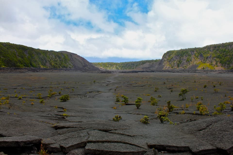
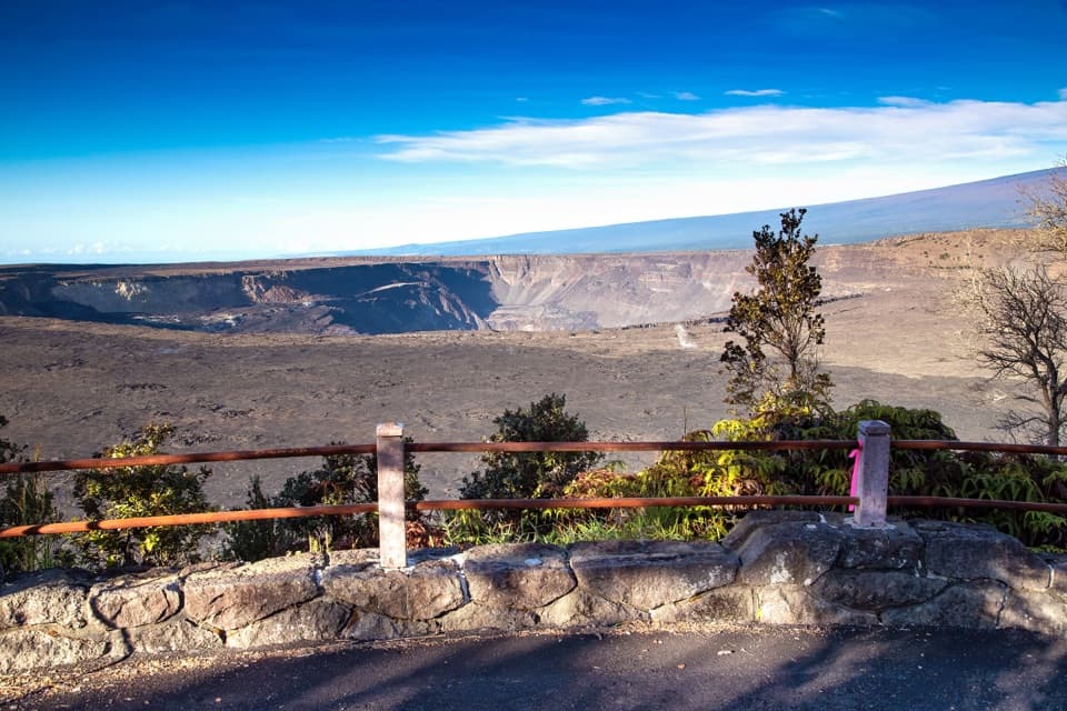
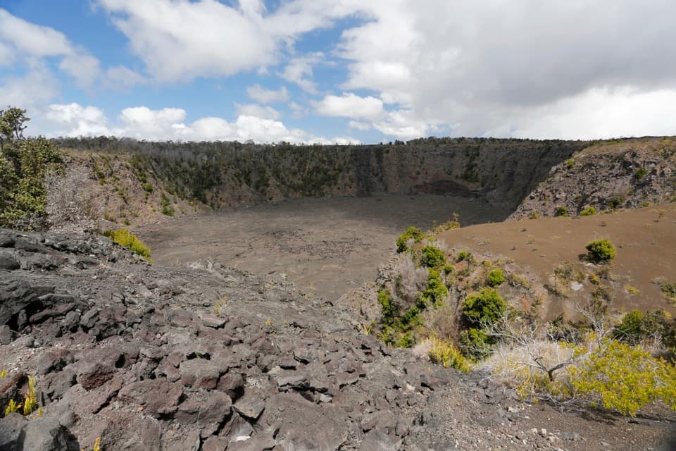
Keanakākoʻi Crater puts you right on the edge of Kīlauea’s summit drama. The name means Cave of the Adzes, a nod to the high-quality stone once quarried here by Native Hawaiians. Today it’s a front-row seat to raw geology—sheer caldera cliffs, fresh lava landscapes, and a crater roughly 600 years old.
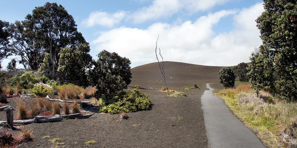
Park at the Devastation Trailhead lot, then follow the closed section of Crater Rim Drive west to the overlook. It’s about 2.0–2.15 miles round trip with roughly 100 feet of elevation change, mostly on damaged old pavement. The path isn’t signed, but it’s straightforward: you’re simply walking the closed road to the rim.
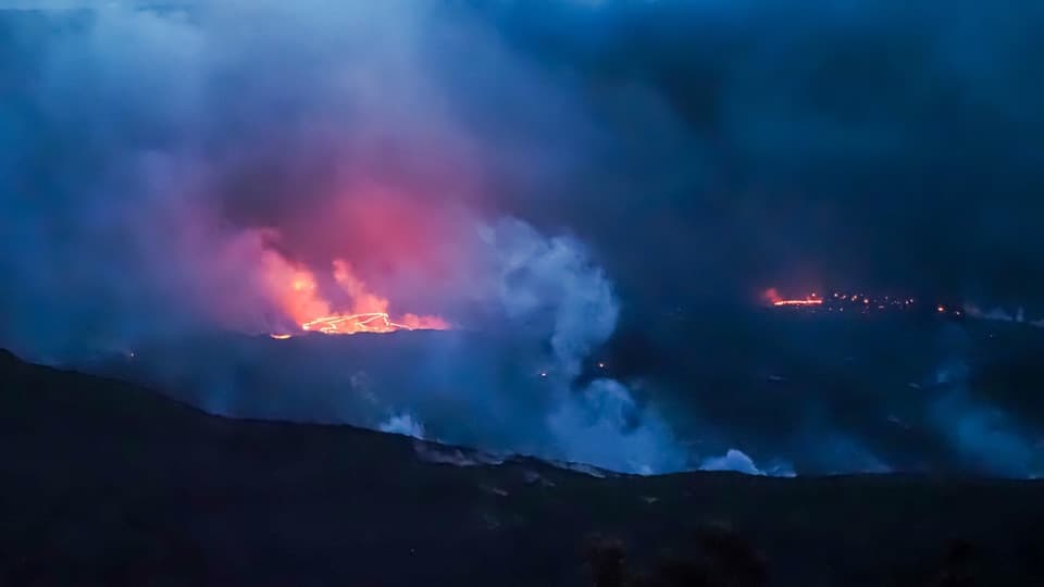
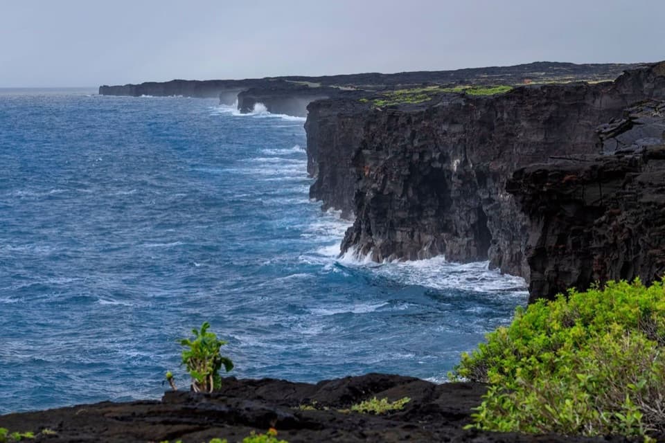
At the end, Keanakākoʻi yawns on one side while Kīlauea’s stark caldera drops away on the other. On clear days you can spot Mauna Loa and even Mauna Kea far beyond. The setting feels immediate and alive—visitors often notice the sulfur smell from volcanic gases, and during active periods some have seen lava glow or even heard the huffing of the volcano.
This corridor was reshaped by eruptions, including a destructive 1974 event that kept this stretch of road closed to vehicles. Air-quality monitoring has guided access since, so conditions can change. The crater and surrounding flows are a concise lesson in how the island is built—collapse, eruption, and constant renewal.
Keep an eye out for nēnē (Hawai‘i’s native goose) along this route. Enjoy them from a distance and don’t feed wildlife.
There are no services here—no restrooms, food, or water—just parking at the Devastation Trailhead. Expect cracked pavement and wind. Bring layers, water, sun protection, and a zoom lens or binoculars if you’re hoping to catch distant activity.
Early morning or late afternoon brings softer light, fewer people, and clearer long-range views. Sunset can be gorgeous across the caldera. If lava is active, an after-dark visit can reveal a glow, but check current conditions and closures first. Weekdays are typically quieter than weekends.