Kūpinaʻi Pali (Waldron Ledge) in Hawaiʻi Volcanoes National Park

Sight · Hawaiʻi Volcanoes National Park

Kūpinaʻi Pali (Waldron Ledge)

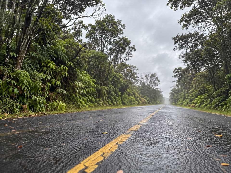
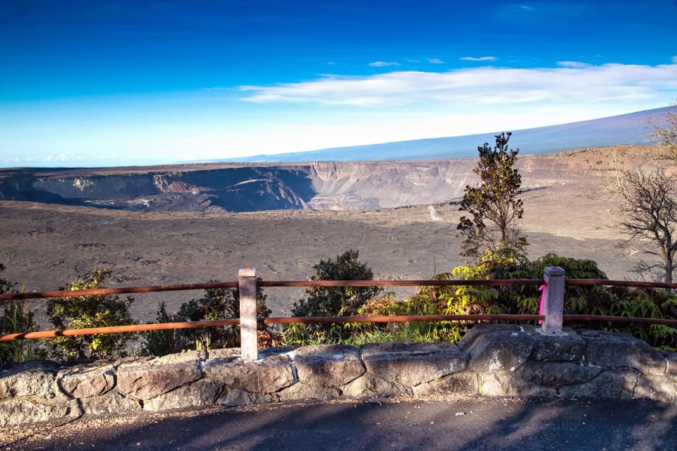
A broad Kaluapele view along the cracked, abandoned Crater Rim road.

Photo: National Park Service
Type
Sight
Nearest trail
0.5 mi
Audio stories
13 nearby
  • Trailhead
  • Parking
  • Scenic viewpoint
  • Picnic tables
  • #11 of 35 sights

Hear the audio tour

Volcano House: A Meal on the Rim

Overview

About Kūpinaʻi Pali (Waldron Ledge)

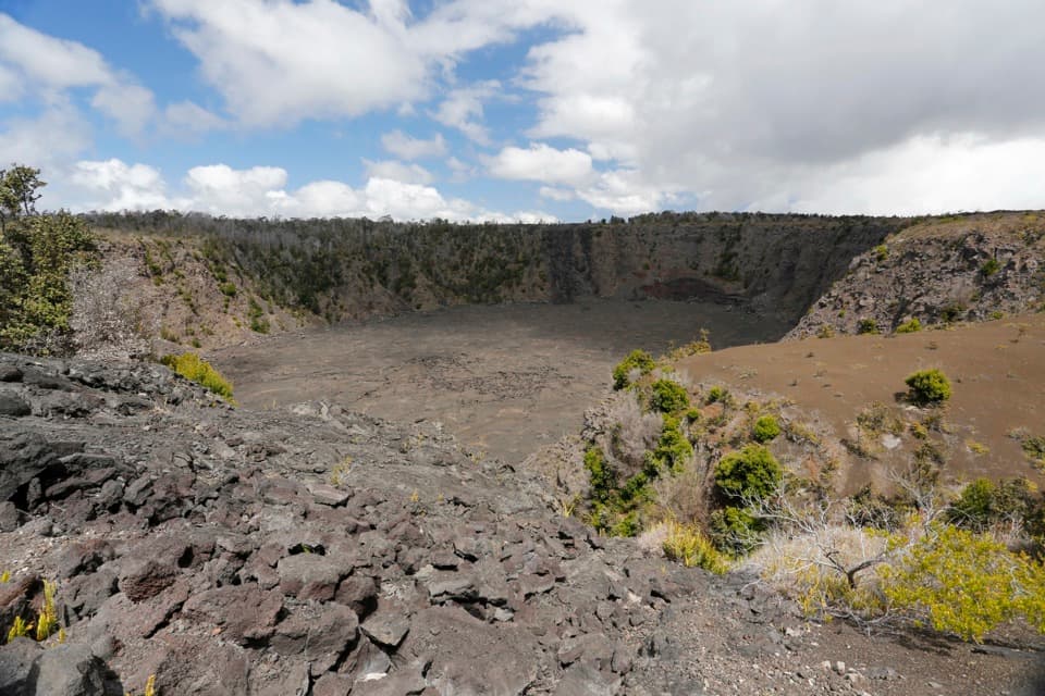
Kūpinaʻi Pali (Waldron Ledge) is a broad viewpoint on the rim of Kaluapele, Kīlauea’s summit caldera. The walk from the Kīlauea Visitor Center area is about half a mile each way, or roughly one mile round trip; allow about 45 minutes to an hour. Come for the wide view toward Halemaʻumaʻu and the chance to see an old road scarred by the 1983 summit earthquake. The distance is modest, but cracked and tilted pavement makes footing less comfortable than the route’s gentle grade suggests. This is a distant eruption viewpoint, so a glowing crater is never guaranteed.

Why stop

  • Wide view across Kaluapele toward Halemaʻumaʻu
  • The old road surface makes the 1983 earthquake story visible

Heads up

  • Cracked and tilted pavement makes footing less comfortable than the gentle grade suggests

Map

Where it is

Loading the Hawaiʻi Volcanoes map
Full map
SightKūpinaʻi Pali (Waldron Ledge)19.42275, -155.25688
Keep this map with you offline in the Parkwolf app

Plan your stop

Before you go

5 active Hawaiʻi Volcanoes alerts

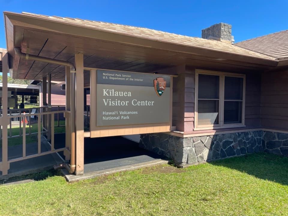
  • ClosureKīlauea Visitor Center closed for renovationMentions Visitor Center, referenced in this guideKīlauea Visitor Center and adjacent facilities are closed during renovation of damage from the 2018 earthquakes, summit collapse, and eruption.Official details
  • ClosureStorm-damage closures at Kahuku, Kīpukapuaulu, and Sulphur BanksStorm damage and hazardous trees continue to restrict access at Kahuku and Kīpukapuaulu; the damaged Sulphur Banks Bridge is closed.Official details

See all 5 alerts
A park ranger sits on a dash-mounted phone, talking, as Parkwolf’s Tour Guide plays “Army Cutworm Moths: A Grizzly Bear Buffet” on Grand Loop Road below Dunraven Pass in Yellowstone
Parkwolf Tour GuideThe highest, rockiest slopes around here are a summer buffet for grizzly bears.

Hawaiʻi Volcanoes Tour Guide

Your drive to Kūpinaʻi Pali (Waldron Ledge), narrated.

Parkwolf is a GPS audio tour guide for Hawaiʻi Volcanoes National Park. As you drive, it chimes in with what’s ahead: hidden gems, upcoming stops, history, geology, and wildlife, right through your car’s speakers.

See the Hawaiʻi Volcanoes audio tour

Recorded for this place

Volcano House: A Meal on the Rim
0:00 / 0:34
“Volcano House is ahead, a historic hotel where you can enjoy the caldera without staying overnight. This is a useful meal stop if you want the volcano as your backdrop.”

Plays as you drive up to Kūpinaʻi Pali (Waldron Ledge) in the Parkwolf Hawaiʻi Volcanoes Tour Guide.

More stories near here in the app

  • Backcountry Permit Office: Before an Overnight Trip
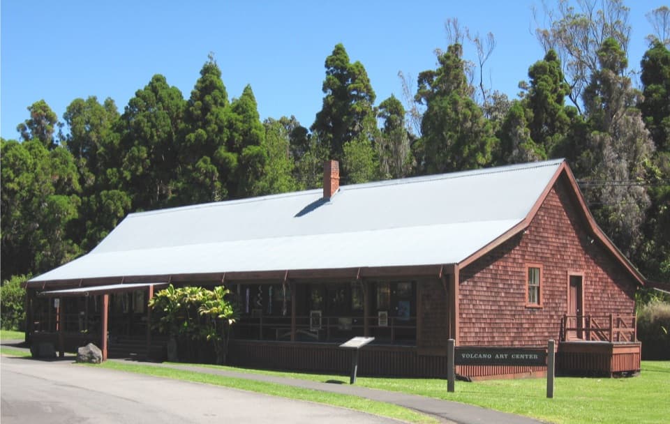
  • Kīlauea Visitor Center Area: Art in the Old Hotel
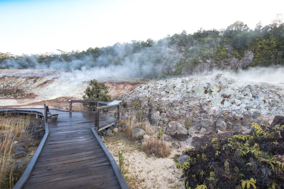
  • Steam Vents and Sulphur Banks: Two Short Walks
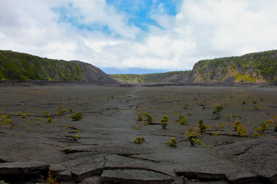
  • Puʻupuaʻi: A Quick View into Kīlauea Iki
  • 58 audio storiesacross Hawaiʻi Volcanoes’s roads, triggered by GPS as you drive
  • Wildlife heatmapsfor Hawaiian Goose (Nēnē), Green Sea Turtle, Hawaiian Hawk ('Io), and 13 more
  • Works offlinemaps, 33 trails, 53 places, and audio download before you lose signal
  • CarPlay readysimple controls built for the drive
★★★★★
“Fantastic app with many points of information… It’s great to just turn on while you’re driving and it gives you an audio tour of the national Park. We love it!!!!”
JMJamesApp Store review
Download Parkwolf on the App StoreGet Parkwolf on Google Play

4.7 from 8,600+ ratings

Guide

More about Kūpinaʻi Pali (Waldron Ledge)

Follow the old roadStart near the visitor-center area and follow Crater Rim Trail toward Volcano House and the…

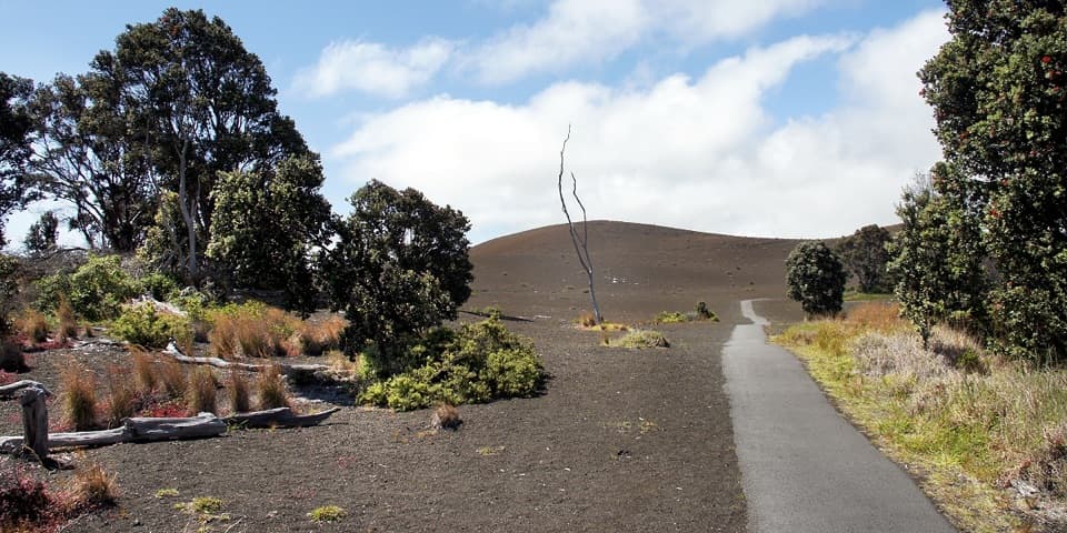
Start near the visitor-center area and follow Crater Rim Trail toward Volcano House and the ledge. Much of the route follows paved former roadway. The park describes it as wheelchair accessible, but the surface is cracked, tilted and uneven in places, with changing grades; plan for a rougher walk than a smooth path. The larger overlook at the end is level. A smaller overlook along the way has a steep descent, so stay on the established route and use the larger ledge.

A road left by the 1983 earthquakeThis stretch once carried Crater Rim Drive around the summit caldera. A magnitude 6.

This stretch once carried Crater Rim Drive around the summit caldera. A magnitude 6.7 earthquake on November 16, 1983, collapsed sections and split the pavement, forcing the road to be rerouted. The abandoned segment became a walking route. Look down for surviving painted road lines among the cracks: they make the road’s former use unusually tangible.

Read the caldera from the ledgeThe panorama opens across Kaluapele toward Halemaʻumaʻu, with the crater walls and broad summit…

The panorama opens across Kaluapele toward Halemaʻumaʻu, with the crater walls and broad summit landscape giving the view its scale. Volcano House sits below the ledge in the wider scene. For a photo, use the stone parapet or railing as a foreground line and keep the caldera wall in frame; the overlook itself helps establish where you are.

Eruption views are conditionalNPS describes Kūpinaʻi Pali as a distant viewpoint for observing activity at Kīlauea.

NPS describes Kūpinaʻi Pali as a distant viewpoint for observing activity at Kīlauea. When an eruption, clear sightlines and suitable conditions align, volcanic glow may show from here; clouds, volcanic gas and changing activity can hide it. Treat that as a possibility, not the reason to expect a guaranteed lava view. Check current park alerts before visiting, especially for a night outing.

Make the walk workThe NPS lists parking and portable toilets in the visitor-center access area, plus a picnic…

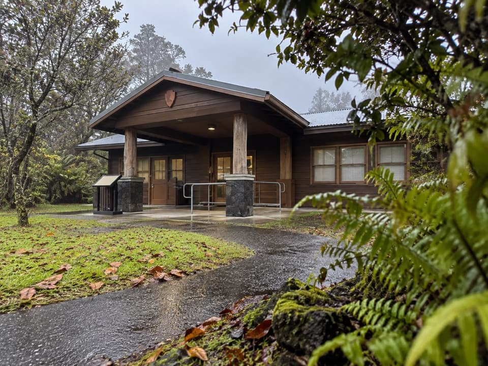
The NPS lists parking and portable toilets in the visitor-center access area, plus a picnic table at the overlook; there is no food service or water at the ledge, so bring what you need. Wear closed-toe shoes for cracked pavement, and bring a light and warm or rain-ready layers if you plan to stay after dark. Pets are not allowed on the trail or overlook. Park entry fees apply.

Wildlife

Wildlife in Hawaiʻi Volcanoes

All Hawaiʻi Volcanoes wildlife maps

Sighting maps show where each species has been reported across Hawaiʻi Volcanoes. Wildlife moves, so no sighting is guaranteed.

Keep exploring

Near Kūpinaʻi Pali (Waldron Ledge)

See it all on the map

Trails nearby

More stops nearby

Parkwolf’s Hawaiʻi Volcanoes ranking

Top sights in Hawaiʻi Volcanoes

All 53 places
  1. 1UēkahunaSight
  2. 2Nāhuku Lava TubeSight
  3. 3Kīlauea OverlookSight
  4. 4Puʻuloa PetroglyphsSight
  5. 5Hōlei Sea ArchSight
  6. 6Kīlauea Iki OverlookSight

Take Parkwolf to Hawaiʻi Volcanoes.

The audio tour guide for the drive, plus offline maps, trails, and wildlife heatmaps for when the signal drops.

4.7 from 8,600+ ratings

Download Parkwolf on the App StoreGet Parkwolf on Google Play