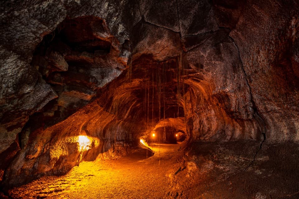
Parking
Park at Kīlauea Visitor Center, cross Crater Rim Drive toward Volcano House, then follow the service road to the trail entrance.
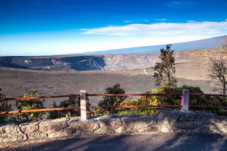
Hawaiʻi Volcanoes National Park, HI
A short paved route to a broad caldera view
Overview
Map & elevation
Plan your hike

The highest, rockiest slopes around here are a summer buffet for grizzly bears.
Hawaiʻi Volcanoes Tour Guide
Parkwolf is a GPS audio tour guide for Hawaiʻi Volcanoes National Park. As you drive, it chimes in with what’s ahead: hidden gems, upcoming stops, history, geology, and wildlife, right through your car’s speakers.
See the Hawaiʻi Volcanoes audio tourRecorded for this trailhead
Volcano House: A Meal on the Rim“Volcano House is ahead, a historic hotel where you can enjoy the caldera without staying overnight. This is a useful meal stop if you want the volcano as your backdrop.”
Plays as you drive up to this trailhead in the Parkwolf Hawaiʻi Volcanoes Tour Guide.
More stories near here in the app
“Fantastic app with many points of information… It’s great to just turn on while you’re driving and it gives you an audio tour of the national Park. We love it!!!!”


Trail guide
This easy out-and-back follows a mostly paved piece of old Crater Rim Drive from the Kīlauea Visitor Center to Waldron Ledge. Allow about 1.2 miles round-trip from the visitor-center access and 45 minutes to an hour. The park’s published distance is rounded to about one mile; the full walk from the visitor center includes the service-road approach before the signed trail section.
Cross Crater Rim Drive from the visitor center, head toward the left of Volcano House, then follow the service road down to the rock wall on the left. The route continues on the paved former road toward the ledge. The pavement is cracked and tilted in places. It is designated wheelchair-accessible and stroller-friendly, but expect an uneven surface rather than a smooth promenade.
This pavement once carried Crater Rim Drive around Kīlauea’s summit caldera. The November 16, 1983, magnitude 6.7 earthquake broke and collapsed sections of the road, so traffic was rerouted and the stranded stretch became a walking route. Look for faded painted lane lines still crossing the pavement. That history is why locals also call it Earthquake Trail.
A small overlook on the right soon after Volcano House has a very steep drop. Continue to the larger, level Waldron Ledge overlook for the broad view across Kaluapele (Kīlauea Caldera) and Halemaʻumaʻu. The crater collapsed dramatically in 2018, changing the shape of the view. From the level ledge, a wide frame with Halemaʻumaʻu in the caldera makes the scale clear.
This is the standalone Waldron Ledge walk along one named section of Crater Rim Trail. It is separate from the longer Waldron Ledge Loop, which combines several trails. Pets are prohibited on park trails.
Wildlife
 600 sightingsHawaiian Goose (Nēnē)Most seen around 5 PMSighting map
 35 sightingsGreen Sea TurtleMost seen around 11 AMSighting map
 36 sightingsHawaiian Hawk ('Io)Most seen around 11 AMSighting map
 41 sightingsBlack NoddyMost seen around 5 PMSighting map
 96 sightingsWhite-tailed TropicbirdMost seen around noonSighting map
 24 sightingsHawai'i 'ElepaioMost seen around 8 AMSighting map
Sighting maps show where each species has been reported across Hawaiʻi Volcanoes. Wildlife moves, so no sighting is guaranteed.
Keep exploring
 ModerateHalemaʻumaʻu Trail1.6 mi · 1.5 hr · At the trailheadA short rainforest descent opens onto Kīlauea’s caldera floor.
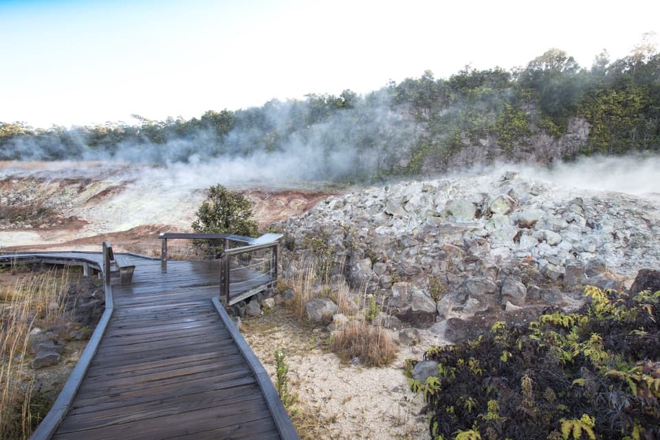 EasyHaʻakulamanu (Sulphur Banks) Trail1.2 mi · 36 min · 0.5 mi awayA short boardwalk walk past yellow sulfur and rising steam.
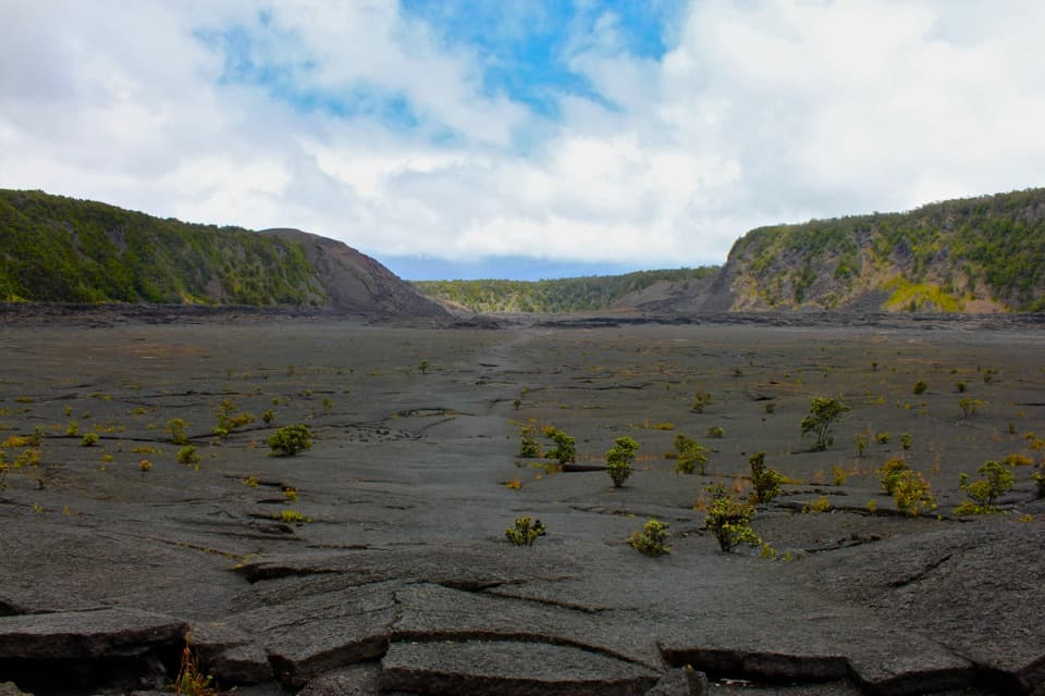 ModerateKīlauea Iki Trail3.3 mi · 2.5 hr · 1.4 mi awayCross a solidified lava lake beneath Puʻupuaʻi
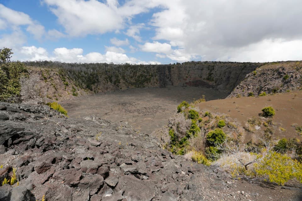 EasyKeanakākoʻi Crater Trail2 mi · 1.3 hr · 1.7 mi awayAn easy walk on a former road reaches a 115-foot crater.
 ModerateUēaloha (Byron Ledge) Trail2.2 mi · 1.5 hr · 1.7 mi awayOpen cinder, forested ledge, and views of Puʻupuaʻi.
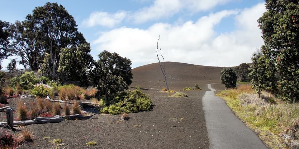 EasyDevastation Trail1 mi · 1 hr · 1.7 mi awayA short paved walk through cinder from Kīlauea Iki’s 1959 eruption.
 EasyCrater Rim Trail3.8 mi · 2 hr · 1.7 mi awayA 3.8-mile out-and-back from Kīlauea Overlook to Volcano House.
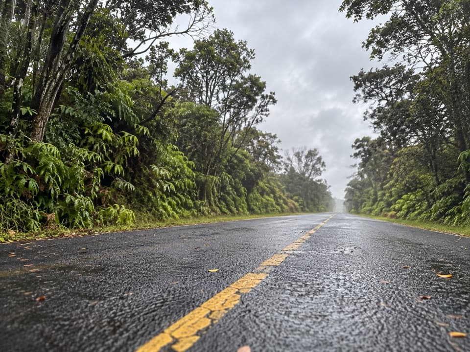 EasyEscape Road Trail3.8 mi · 2 hr · 1.7 mi awayA gentle forest descent from Nāhuku toward Mauna Ulu.
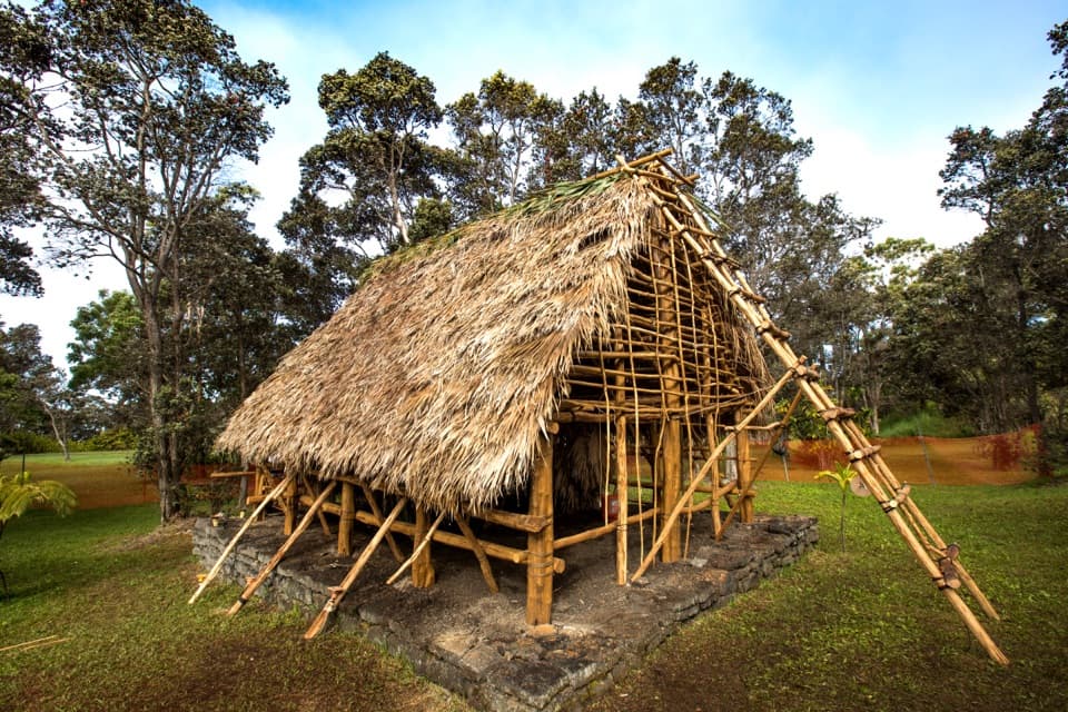 Sight · At the trailheadKaʻaueaA raised hula platform and traditional hale facing Halemaʻumaʻu.
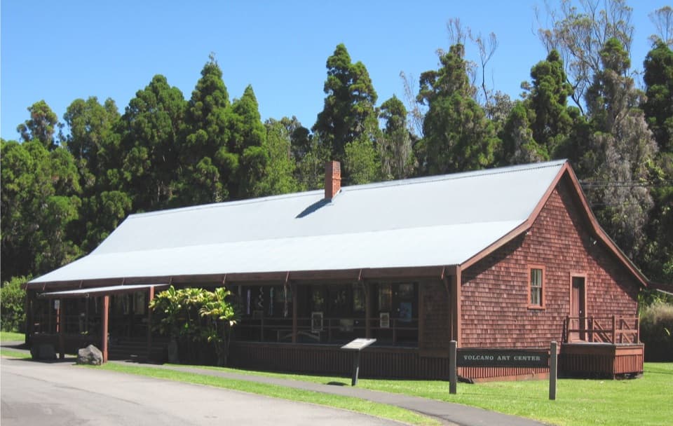 Sight · 0.1 mi awayVolcano Art Center Gallery (1877 Volcano House)Local art fills a small gallery inside Kīlauea’s 1877 hotel.
 Lodging · 0.1 mi awayVolcano HouseA historic hotel on Kīlauea’s rim, with the caldera at the table.
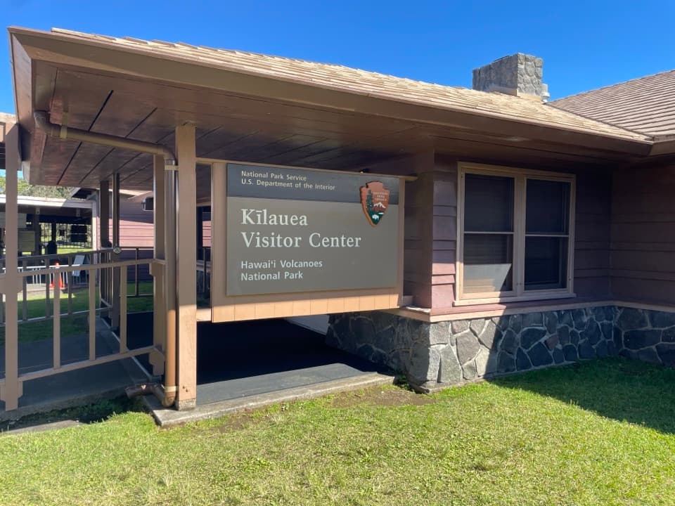 Visitor center · 0.1 mi awayKīlauea Visitor CenterStart here to plan a day around Kīlauea summit.Sight · 0.2 mi awayHaʻakulamanu (Sulphur Banks)A short walk to yellow sulfur, altered rock and rising steam.
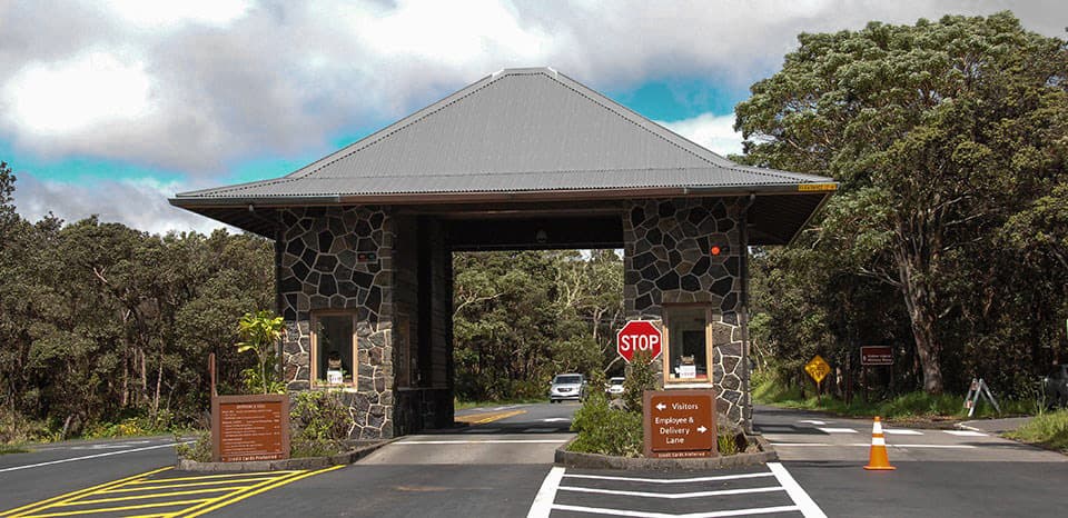 Entrance station · 0.3 mi awayHawaiʻi Volcanoes National Park Entrance StationSave your pass offline; reception is limited at the entrance.
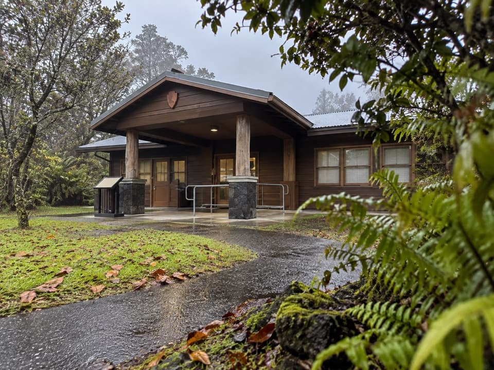 Ranger station · 0.5 mi awayBackcountry Permit OfficeThe stop for backcountry permits and a ranger safety briefing.Sight · 0.5 mi awayKūpinaʻi Pali (Waldron Ledge)A broad Kaluapele view along the cracked, abandoned Crater Rim road.
Parkwolf’s Hawaiʻi Volcanoes ranking

The audio tour guide for the drive, plus offline maps, trails, and wildlife heatmaps for when the signal drops.