Parking
Use Airplane Rock Parking, the limited gravel lot at 17741 Hockman Road. It is the legal trailhead for this route; avoid the unofficial Pine Creek pull-off.
Hocking Hills State Park, OH
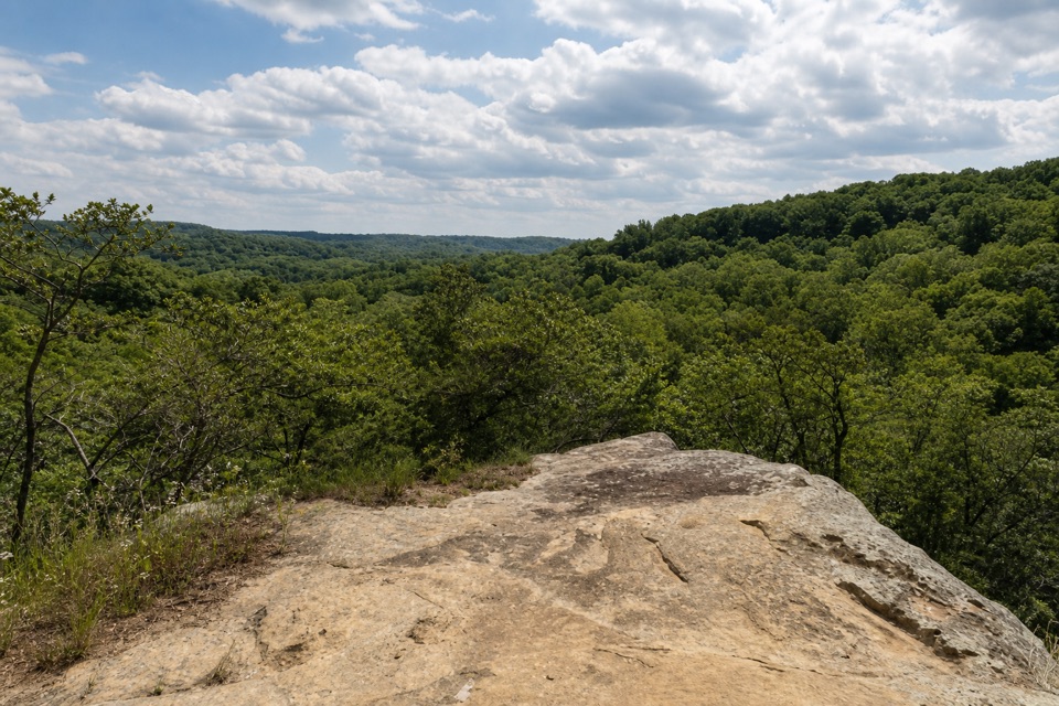
A rolling forest walk leads to a sandstone perch above the valley.
Overview
Map & elevation
Plan your hike

The highest, rockiest slopes around here are a summer buffet for grizzly bears.
Hocking Hills Tour Guide
Parkwolf is a GPS audio tour guide for Hocking Hills State Park. As you drive, it chimes in with what’s ahead: hidden gems, upcoming stops, history, geology, and wildlife, right through your car’s speakers.
Recorded for this area
Chapel Cave from Big Pine Road“Chapel Cave's trailhead is coming up on Big Pine Road. Allow about an hour and a quarter for the mile-and-three-quarter round trip, with creek crossings, horse-trail mud and a steep final climb.”
Plays on the road 1 mi from the trailhead in the Parkwolf Hocking Hills Tour Guide.
More stories near here in the app
“Fantastic app with many points of information… It’s great to just turn on while you’re driving and it gives you an audio tour of the national Park. We love it!!!!”


Trail guide
Airplane Rock Trail is a 3.6-mile out-and-back in Hocking State Forest, just outside Hocking Hills State Park. From the Hockman Road lot, an old gravel road rolls through hemlock-shaded woods to a short signed spur and a sandstone ledge above a wooded valley. The ledge is the payoff; the walk takes longer and climbs and dips more than a quick overlook stop. Allow about two hours for the return walk and time at the rock.
The first stretch shares the Buckeye Trail. At about 0.3 mile, the blue-blazed Buckeye route turns left; keep right on the old roadbed and follow the orange bridle markers. The track is shared with horses and can be muddy. The first split is easy to miss, so an offline map helps you stay on the direct Hockman Road route instead of wandering onto a longer Chapel Cave loop.
A short signed spur reaches the sandstone outcrop itself. The rock opens onto the wooded valley, though the view can feel more enclosed than the big overlooks elsewhere in Hocking Hills. The ledge has an unguarded drop, so give its edge room, especially with children. For a photo, leave a strip of the pale rock in the foreground with the valley beyond; it shows how the ledge sits above the trees.
Use Airplane Rock Parking at 17741 Hockman Road, the small gravel lot for this route. Parking is limited, and the informal Pine Creek pull-off is a poor substitute: it involves a muddy creek bank and a steep climb, with access unclear. Hocking State Forest is open from half an hour before sunrise until half an hour after sunset; hikers can't use bridle trails after dark.
Wildlife
 15 sightingsWhite-tailed DeerMost seen around 7 AMSighting map
 83 sightingsSnapping TurtleMost seen around 5 PMSighting map
 13 sightingsChipmunkMost seen around 8 AMSighting map
 19 sightingsGray RatsnakeMost seen around 6 PMSighting map
 47 sightingsWatersnakeMost seen around 10 AMSighting map
 11 sightingsRing-necked SnakeMost seen around 7 PMSighting map
Sighting maps show where each species has been reported across Hocking Hills. Wildlife moves, so no sighting is guaranteed.
Keep exploring
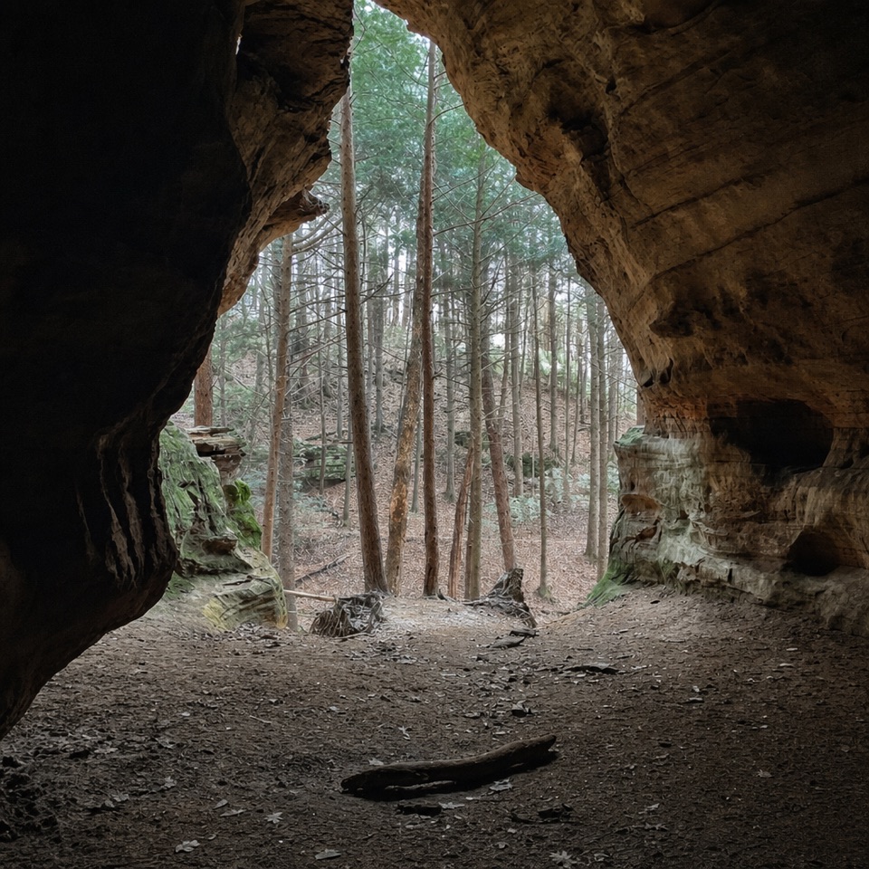 ModerateChapel Cave Trail1.8 mi · 1.3 hr · 1 mi awayA creekside bridle trail leads to a cave with a 21-horse legend.
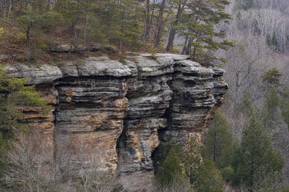 ChallengingConkles Hollow Rim Trail2 mi · 2.5 hr · 1.7 mi awayA hard loop of steep steps, wooded cliff tops and gorge views.
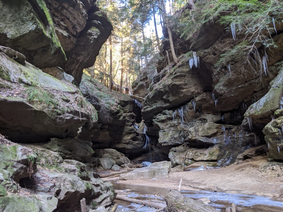 EasyConkles Hollow Gorge Trail1 mi · 1 hr · 1.7 mi awayA one-mile gorge out-and-back, with a paved start and rougher finish.
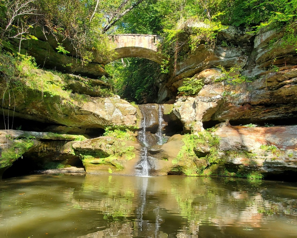 ModerateOld Man’s Cave Trail1 mi · 1 hr · 2.6 mi awayA one-mile gorge loop past a waterfall, cave and stone tunnels.
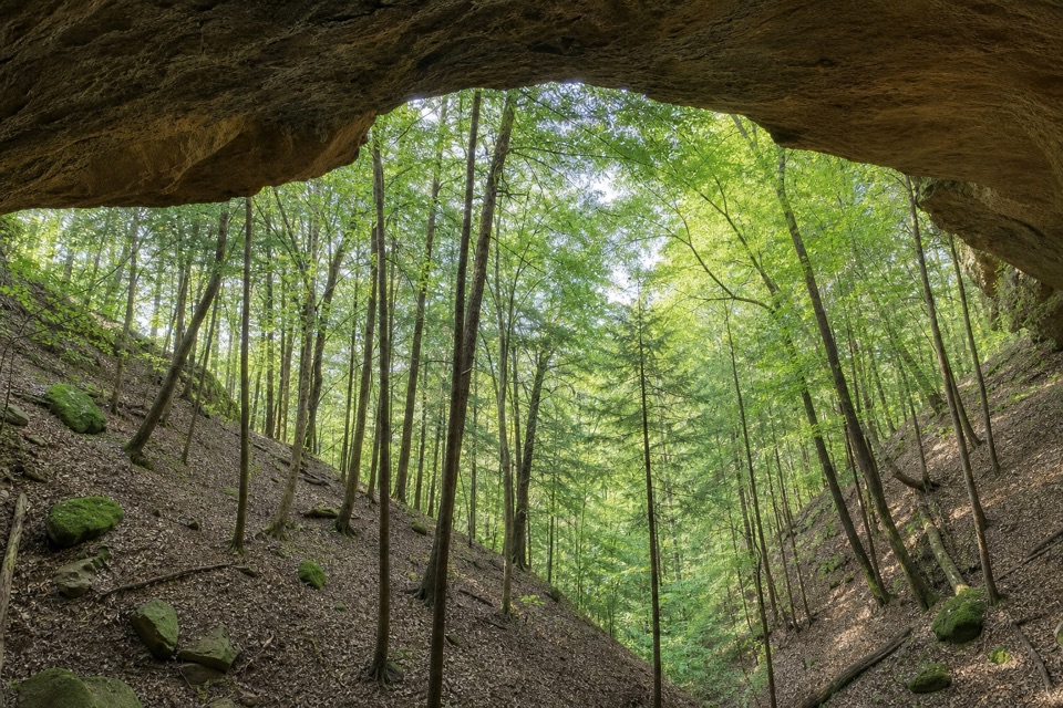 ChallengingWhispering Cave Trail3.3 mi · 3 hr · 2.6 mi awayA rugged one-way circuit to Whispering Cave via Hemlock Bridge.
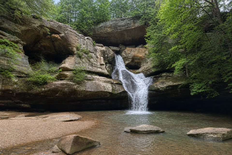 ModerateGorge Overlook Trail2.8 mi · 1.8 hr · 2.7 mi awayA point-to-point gorge walk from Old Man’s Cave to Cedar Falls.
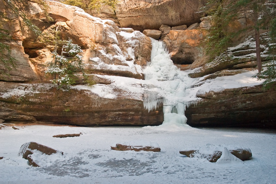 ChallengingGrandma Gatewood Trail5.3 mi · 3.5 hr · 2.7 mi awayA tough 5.3-mile crossing for waterfalls, caves and sandstone gorge.
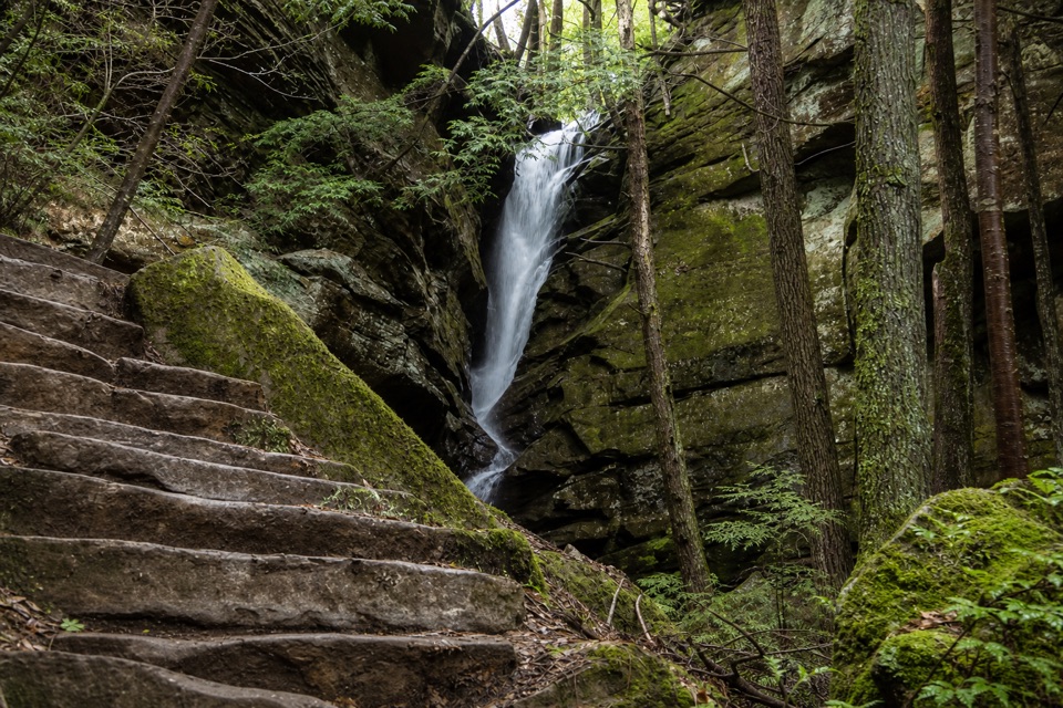 ModerateBroken Rock Trail0.3 mi · 20 min · 2.9 mi awayA short, steep stair climb to a sandstone cleft waterfall
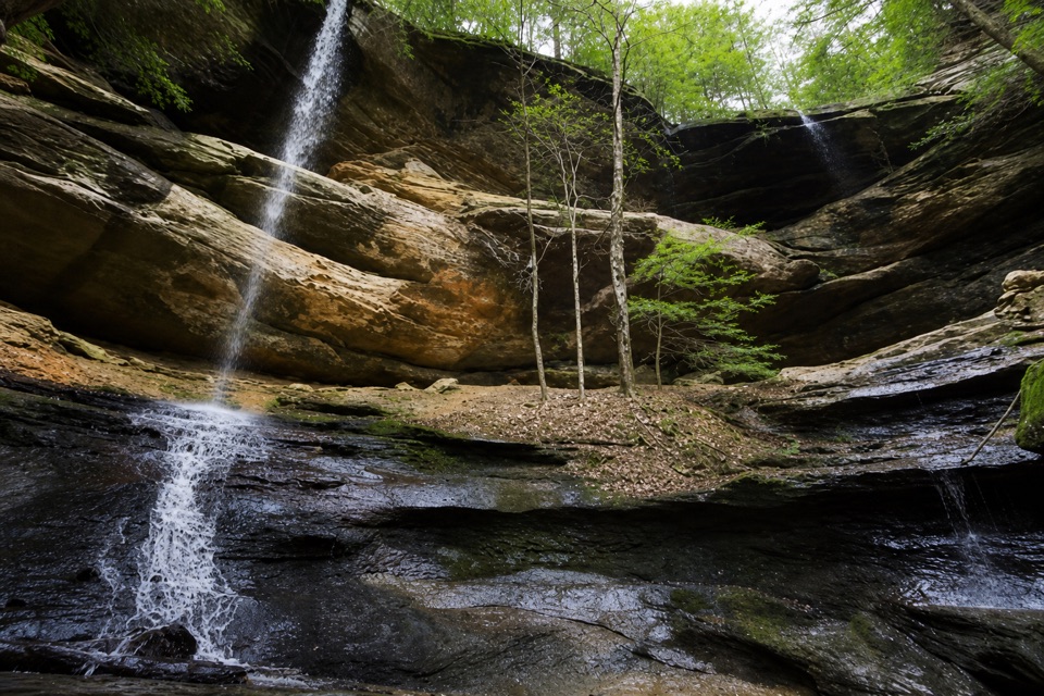 Sight · 0.3 mi awayTwin FallsTwo seasonal cascades tucked into a sandstone hollow.
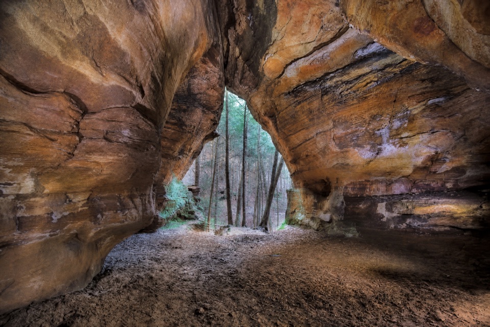 Sight · 0.4 mi awayChapel CaveA deep sandstone hall tucked off a shared forest bridle trail.
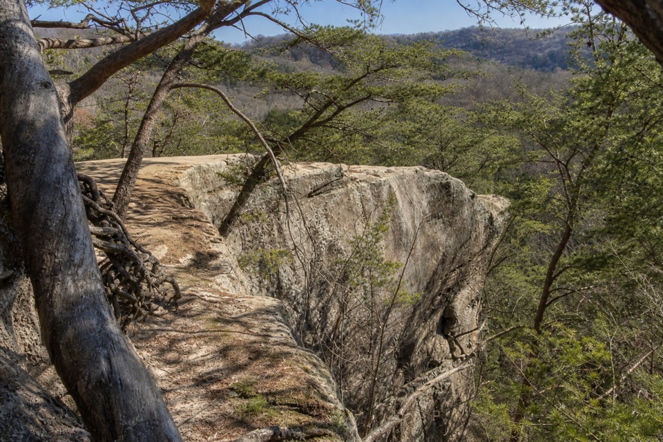 Sight · 1.1 mi awayAirplane RockA quieter airplane-shaped overlook after a hilly 3.6-mile hike.
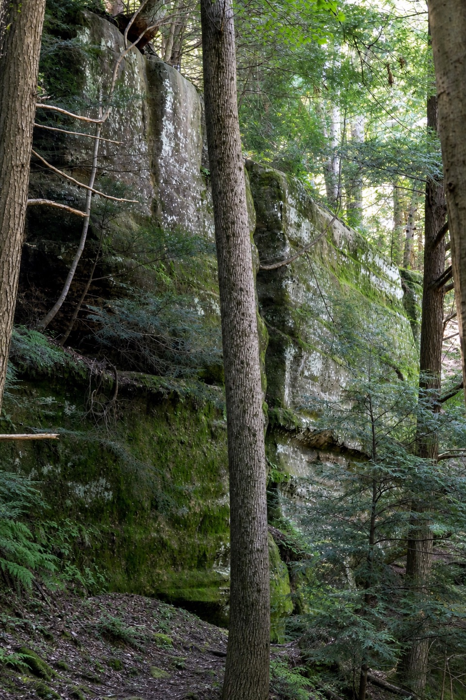 Sight · 1.1 mi awayHocking State Forest Rock Climbing and Rappelling AreaClimb or rappel a mile-long sandstone cliffline—register first.Sight · 1.7 mi awayConkles Hollow State Nature PreserveA shadowy gorge walk and an exposed cliff-top loop.
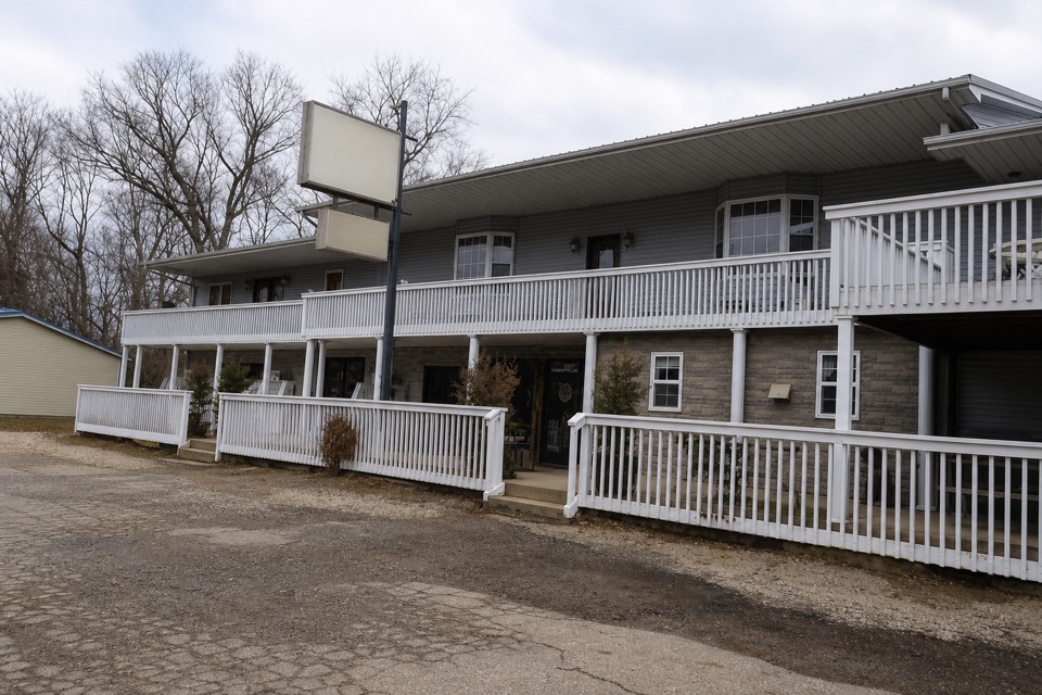 Store · 2.3 mi awayGrandma Faye's Grocery & CarryoutPick up trail supplies, a sub, or fudge after Old Man's Cave.
 Sight · 2.6 mi awayHocking Hills Archery RangeA good side stop if you brought your archery gear.
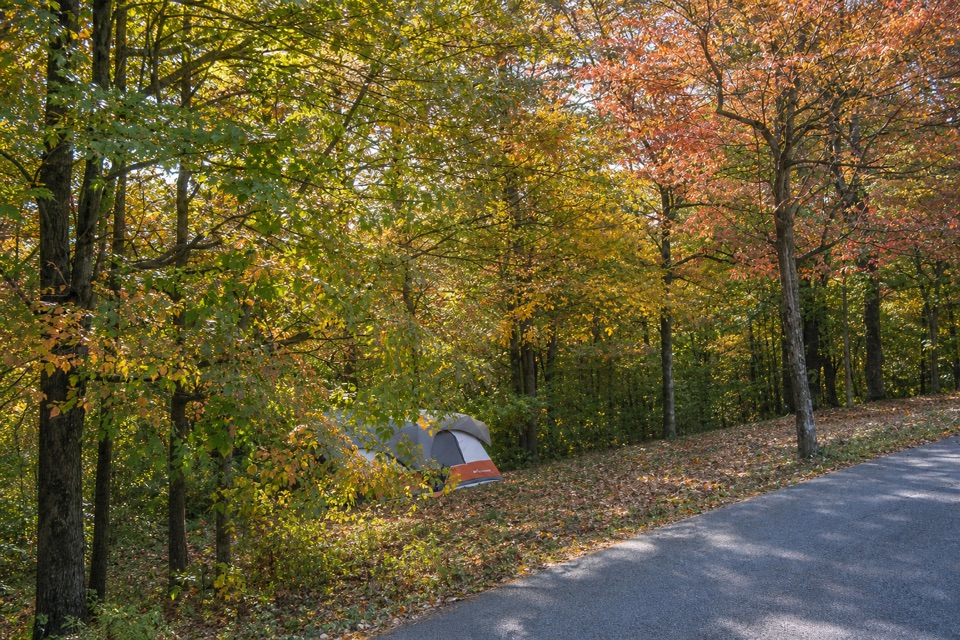 Campground · 2.6 mi awayHocking Hills State Park CampgroundStay beside Old Man’s Cave, with full-hookup sites and cabins.
Parkwolf’s Hocking Hills ranking

The audio tour guide for the drive, plus offline maps, trails, and wildlife heatmaps for when the signal drops.