Overview
About Airplane Rock
Why stop
- A distinctive sandstone ledge above wooded Crane Hollow.
Heads up
- The hilly 3.6-mile round trip ends beside an exposed drop.
Map
Where it is

The highest, rockiest slopes around here are a summer buffet for grizzly bears.
Hocking Hills Tour Guide
Your drive to Airplane Rock, narrated.
Parkwolf is a GPS audio tour guide for Hocking Hills State Park. As you drive, it chimes in with what’s ahead: hidden gems, upcoming stops, history, geology, and wildlife, right through your car’s speakers.
Recorded for this area
Chapel Cave from Big Pine Road“Chapel Cave's trailhead is coming up on Big Pine Road. Allow about an hour and a quarter for the mile-and-three-quarter round trip, with creek crossings, horse-trail mud and a steep final climb.”
Plays on the road 0.5 mi from Airplane Rock in the Parkwolf Hocking Hills Tour Guide.
More stories near here in the app
- Conkles Hollow
- Breathing Through Skin
- Grandma Faye's Grocery and Carryout
- John Glenn Astronomy Park
- 22 audio storiesacross Hocking Hills’s roads, triggered by GPS as you drive
- Wildlife heatmapsfor White-tailed Deer, Snapping Turtle, Chipmunk, and 9 more
- Works offlinemaps, 18 trails, 29 places, and audio download before you lose signal
- CarPlay readysimple controls built for the drive
“Fantastic app with many points of information… It’s great to just turn on while you’re driving and it gives you an audio tour of the national Park. We love it!!!!”


Guide
More about Airplane Rock
A smaller overlook with a real hikeAirplane Rock is a sandstone cliff-top overlook in Hocking State Forest, above the wooded Crane…
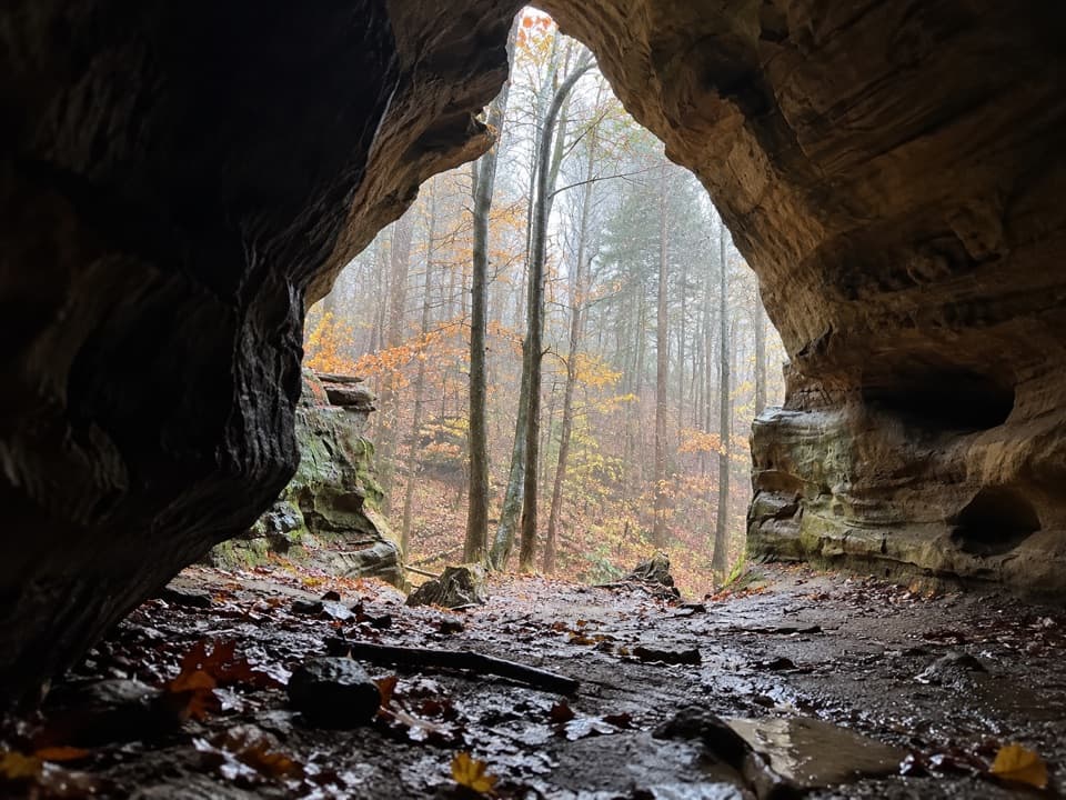
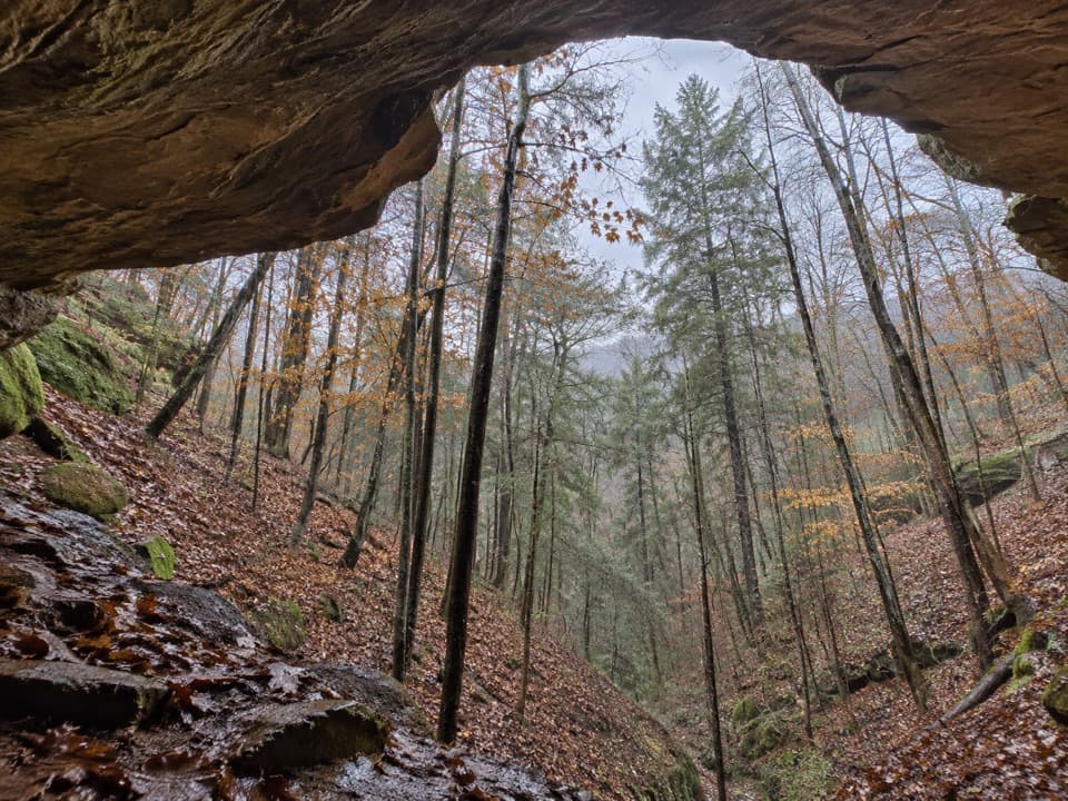
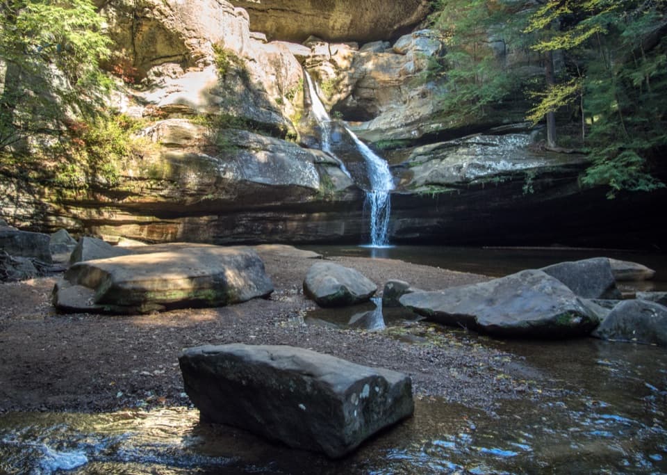
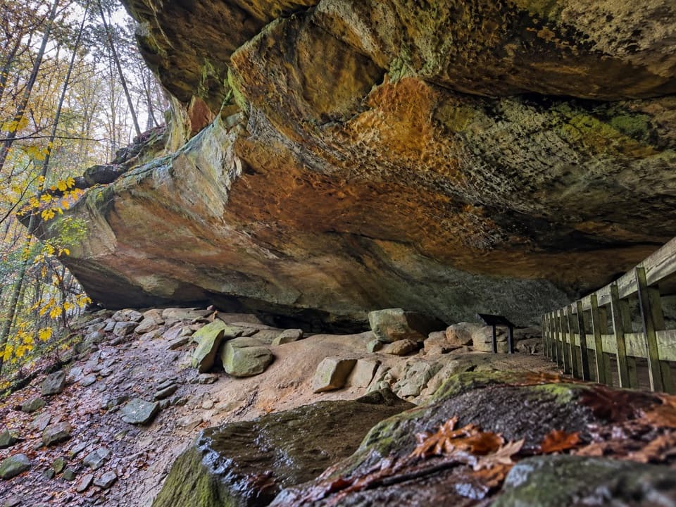
Airplane Rock is a sandstone cliff-top overlook in Hocking State Forest, above the wooded Crane Hollow. It’s a good choice if you want a quieter walk to a distinctive rocky perch; the route is about 1.8 miles each way from Hockman Road, and the final spur reaches an exposed edge. Some visitors find the valley view narrow, so come for the hike and the rock’s shape as much as the panorama.
Use the Hockman Road approachStart at the Airplane Rock Parking area on Hockman Road; spaces are limited.
Start at the Airplane Rock Parking area on Hockman Road; spaces are limited. The established route follows an old roadbed, then orange-blazed bridle trail through hemlock woods, with a short signed spur to the rock. The hike is hilly and shared with horses. Skip the informal Pine Creek shortcut: its creek crossing and steep muddy bank have turned walkers back. Forest hours run from 30 minutes before sunrise to 30 minutes after sunset, and bridle trails are closed to hiking and riding after dark.
See the rock from its sideFrom the side, the ledge’s profile can suggest a plane’s nose and wing, the reason for the name.
From the side, the ledge’s profile can suggest a plane’s nose and wing, the reason for the name. From the rock, look across Crane Hollow; the ledge makes a strong foreground, and a slight side-on view shows the rock’s shape better than a straight view from its top. Keep well back: a steep drop borders the spur.
The sandstone and old woodsThese cliffs are part of a sandstone landscape formed around 300 million years ago, when rivers…
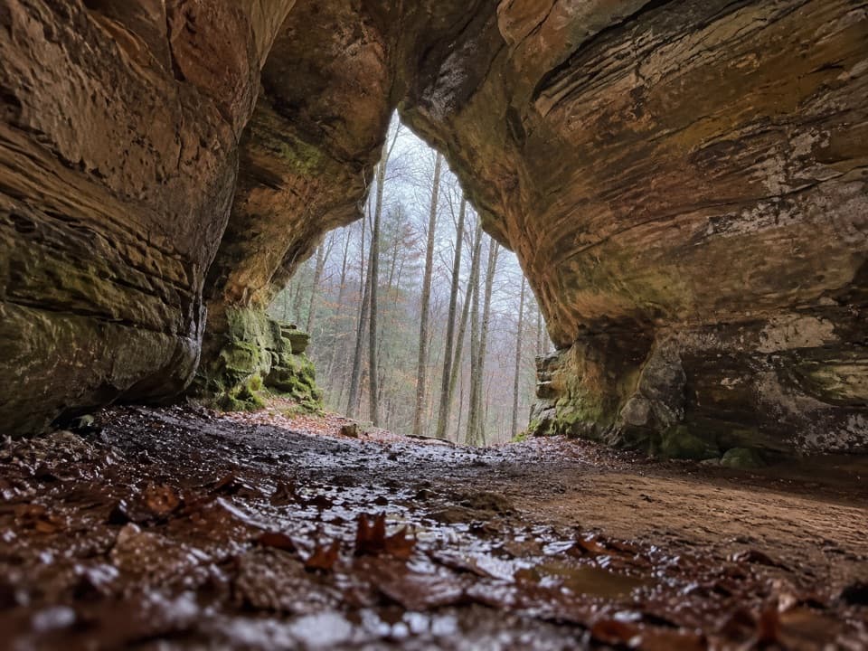
These cliffs are part of a sandstone landscape formed around 300 million years ago, when rivers carried sediment east into a shallow sea. Later uplift and stream erosion cut cliffs through the rock. The approach passes hemlock woods; across the forest, remnant hemlock and birch communities reflect a cooler past climate, and some trees are estimated at 400–500 years old.
The forest beside the parkOhio began acquiring Hocking County land in 1924 for a forestry demonstration; Hocking Hills…
Ohio began acquiring Hocking County land in 1924 for a forestry demonstration; Hocking Hills State Park was separated from the forest in 1949. Airplane Rock is a state-forest outing beside the park, with its own Hockman Road approach.
Wildlife
Wildlife in Hocking Hills
 16 sightingsWhite-tailed DeerMost seen around 7 AMSighting map
 87 sightingsSnapping TurtleMost seen around 5 PMSighting map
 14 sightingsChipmunkMost seen around 8 AMSighting map
 19 sightingsGray RatsnakeMost seen around 6 PMSighting map
 47 sightingsWatersnakeMost seen around 10 AMSighting map
 11 sightingsRing-necked SnakeMost seen around 7 PMSighting map
Sighting maps show where each species has been reported across Hocking Hills. Wildlife moves, so no sighting is guaranteed.