Parking
Use the parking area on West Mountain Drive closest to the West Mountain and Mountain Top junction, then walk the short connector to the loop.
#9 of 19 trails in Hot Springs
Hot Springs National Park, AR
A gradual trail with a steeper Mountain Top return.
Overview
West Mountain Trail Loop is a roughly 2-mile circuit in Hot Springs National Park. It follows the North and South sections of West Mountain Trail for about 1.2 miles, then uses a 0.7-mile stretch of Mountain Top Trail to return to the start. The West Mountain tread is gradual; the Mountain Top return adds a real climb. Allow about 90 minutes if you want time to pause at the shelter and take in the view.
Map & elevation
Plan your hike

The highest, rockiest slopes around here are a summer buffet for grizzly bears.
Hot Springs Tour Guide
Parkwolf is a GPS audio tour guide for Hot Springs National Park. As you drive, it chimes in with what’s ahead: hidden gems, upcoming stops, history, geology, and wildlife, right through your car’s speakers.
Recorded for this trailhead
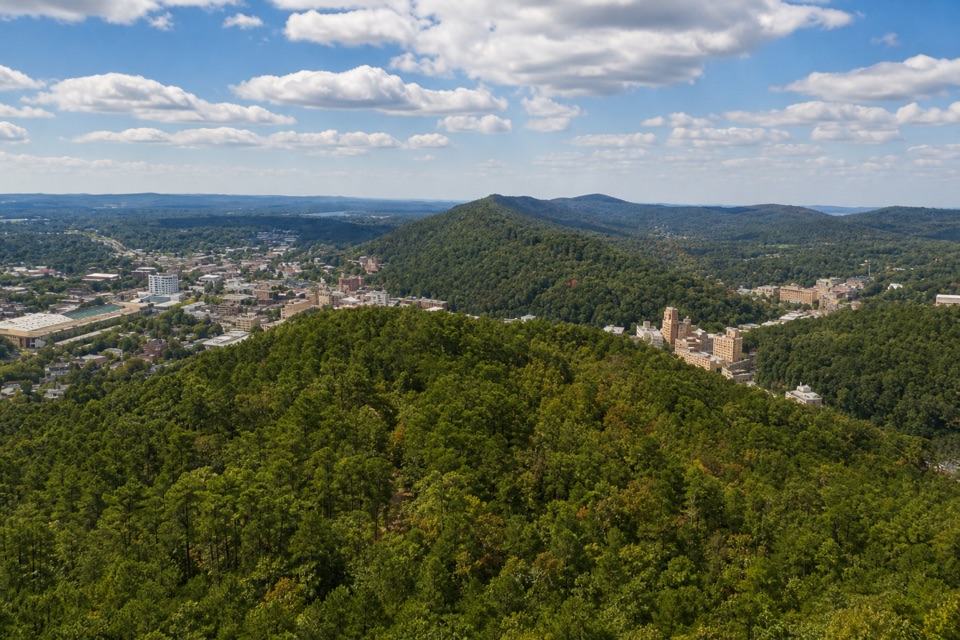
West Mountain: Town Views and a Stone Shelter“West Mountain's lower and picnic overlooks are ahead, with views back over Hot Springs.”
Plays as you drive up to this trailhead in the Parkwolf Hot Springs Tour Guide.
More stories near here in the app
“Fantastic app with many points of information… It’s great to just turn on while you’re driving and it gives you an audio tour of the national Park. We love it!!!!”


Trail guide
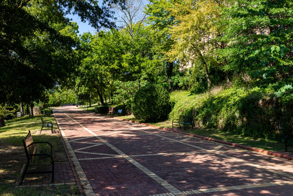
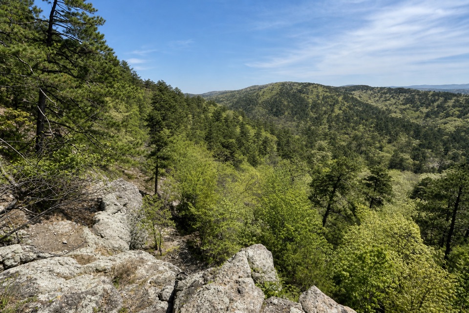
From the Mountain Top junction, the route follows the North section toward the shelter by Canyon Trail, then bends back along the South section. Both West Mountain sections are described as gradual, and the path is packed gravel. The trail crosses a wooded ridge, with the two sections meeting at the far side of the loop.
The return is the part that changes the effort. This loop uses about 0.7 mile of Mountain Top Trail, where the elevation changes by roughly 400 feet. It is steeper than the West Mountain sections, so expect a climb or descent depending on which way you walk. Reverse the loop if you'd rather tackle the sharper section first.
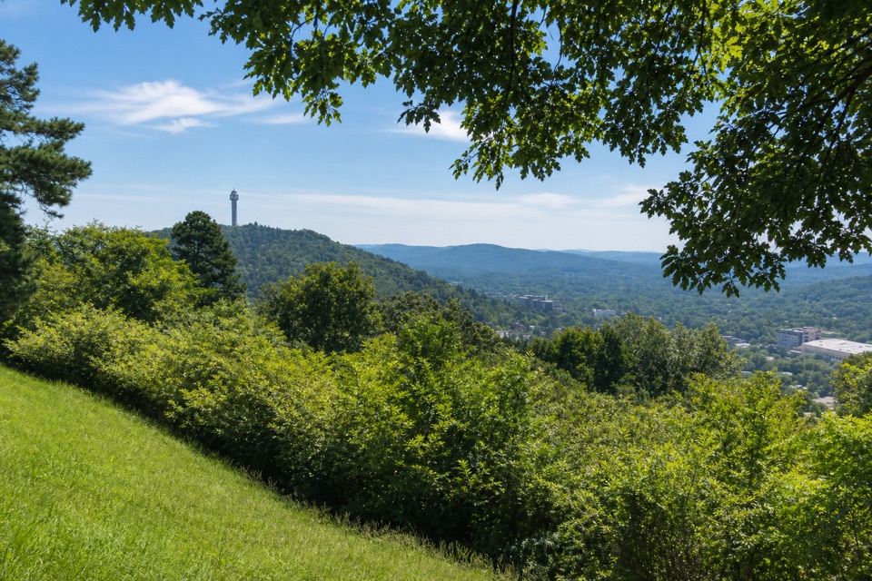
Where the trees open, Hot Springs Mountain Tower stands out on a distant ridge above the town. Keep a little of the grassy slope and overhanging branches in the frame; they give the view a sense of height and place.
Start at the West Mountain and Mountain Top trail junction. Parking areas are marked along West Mountain Drive near the overlook; walk from the road to the trail junction. A shelter and picnic area sit by the Canyon Trail junction. Dogs are allowed on leash. This route is not ADA compliant.
Wildlife
 71 sightingsWhite-tailed DeerMost seen around 6 PMSighting map
 11 sightingsGroundhogMost seen around 7 AMSighting map
 12 sightingsMexican Long-nosed ArmadilloMost seen around 8 PMSighting map
 16 sightingsTurkey VultureMost seen around noonSighting map
 40 sightingsCardinalMost seen around 7 AMSighting map
 27 sightingsSummer TanagerMost seen around 7 AMSighting map
Sighting maps show where each species has been reported across Hot Springs. Wildlife moves, so no sighting is guaranteed.
Keep exploring
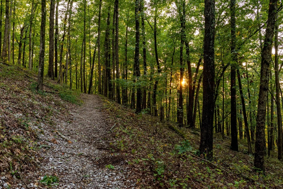 ChallengingSunset Trail9.2 mi · 6 hr · 0.2 mi awayA rugged traverse from West Mountain to Gulpha Gorge.
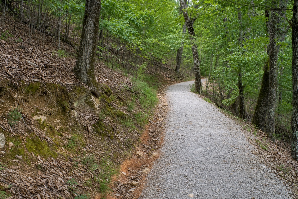 ModerateMountain Top Trail1.5 mi · 1 hr · 0.4 mi awayA wooded ridge crossing with a steep climb and a sharp descent.
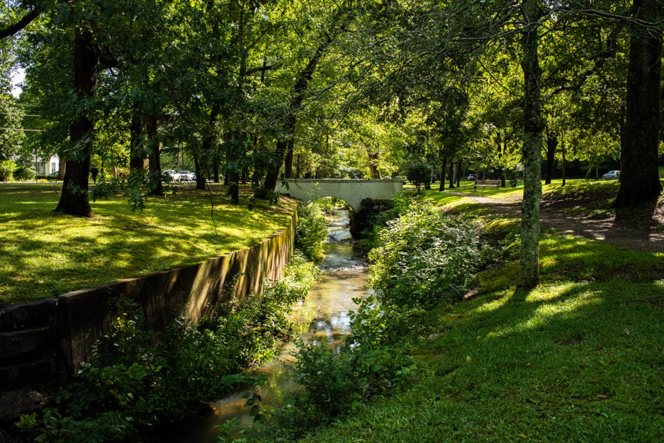 EasyWhittington Trail1.2 mi · 30 min · 0.5 mi awayA flat gravel loop past Whittington Creek's old bridges.
 ModerateOak Trail1 mi · 35 min · 0.8 mi awayA short dirt climb from Bathhouse Row into West Mountain’s trails.
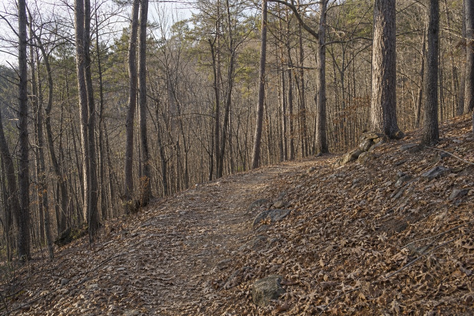 ModerateOertel Trail1.4 mi · 45 min · 0.9 mi awayA steep, bumpy gravel climb links downtown with mountain trails.
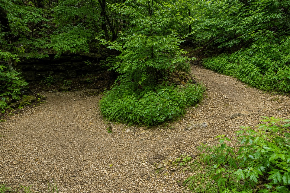 ModerateCanyon Trail0.7 mi · 36 min · 0.9 mi awayA short downtown climb that gets steep on the mountain side.
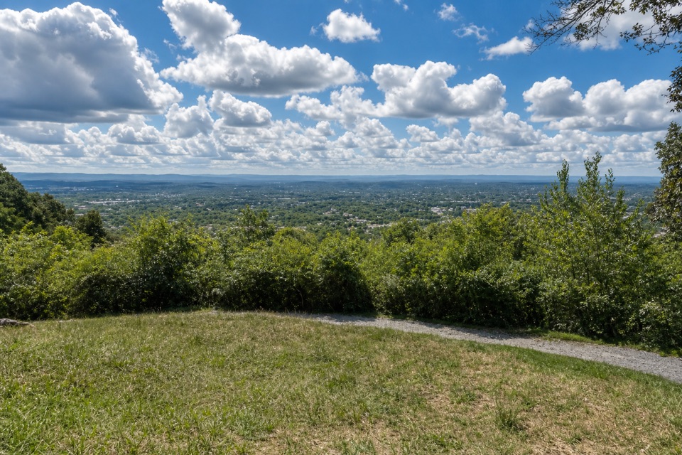 ModeratePeak Trail1.2 mi · 40 min · 0.9 mi awayA 400-foot climb rewards you with summit overlooks and a tower.
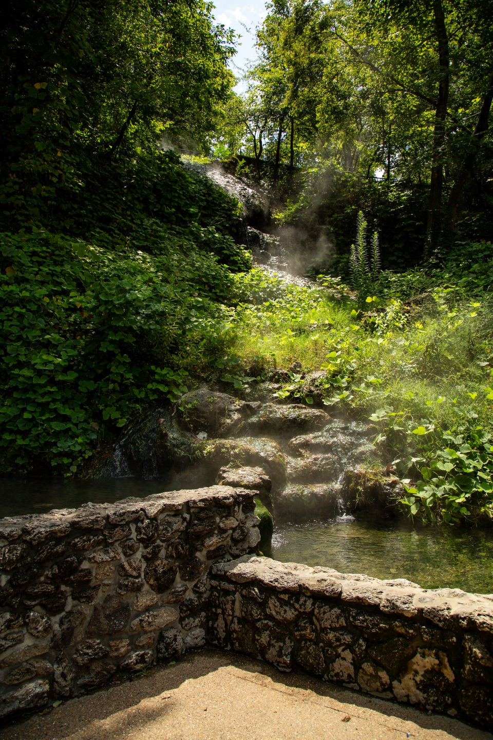 EasyTufa Terrace Trail0.3 mi · 24 min · 0.9 mi awayA short paved climb to pale tufa beside the thermal cascade
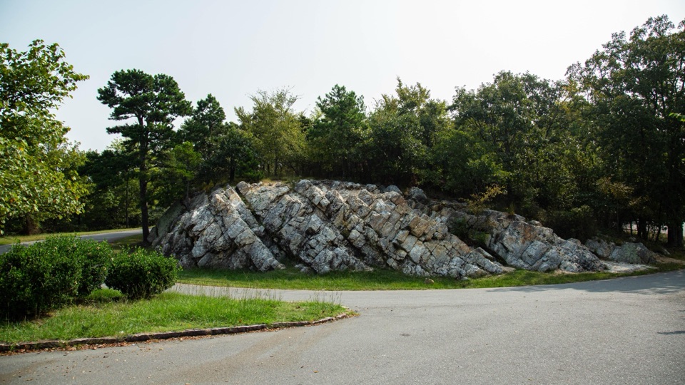 Sight · 0.2 mi awayWest Mountain Loop OverlookA summit vista beside stone once shaped into tools.
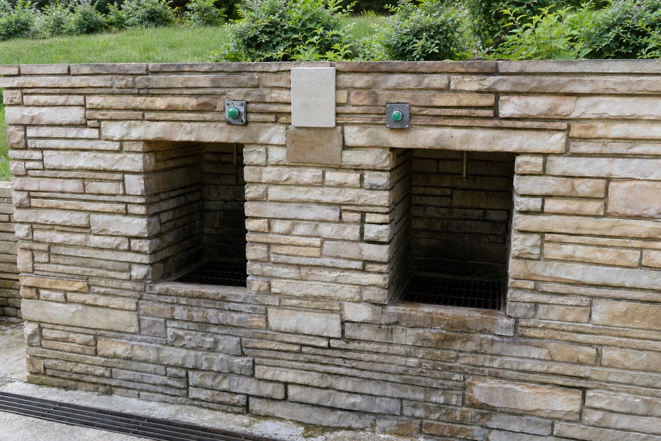 Sight · 0.4 mi awayWhittington Jug FountainFree cold-spring water for bottles and jugs near West Mountain.
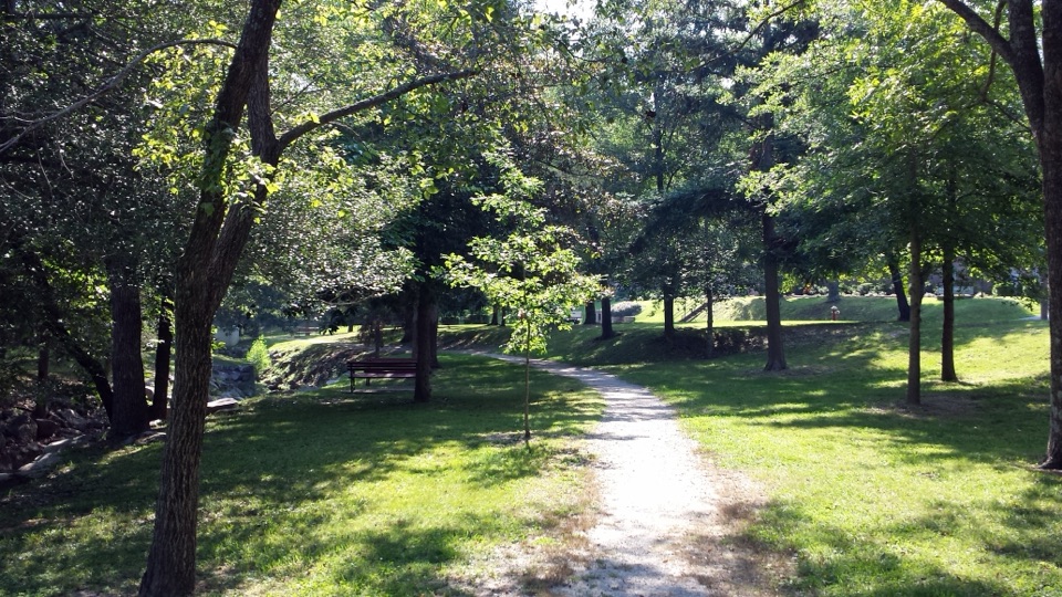 Sight · 0.4 mi awayWhittington Park and CreekA shaded creek walk through Hot Springs' old pleasure ground.
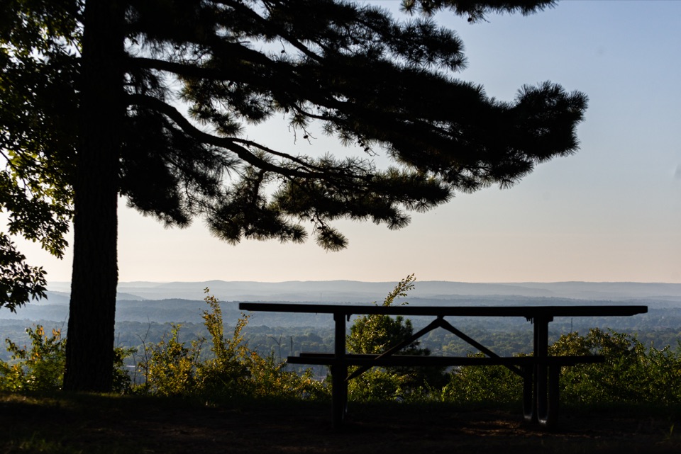 Picnic area · 0.5 mi awayWest Mountain Picnic OverlookA shaded picnic stop with city views and a 1924 stone shelter.
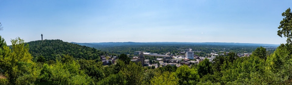 Sight · 0.7 mi awayWest Mountain Lower OverlookBathhouse Row and downtown open up below the road.
 Sight · 0.8 mi awayHill Wheatley Plaza Jug FountainFill a heat-safe jug with naturally hot spring water.
 Sight · 0.8 mi awayReserve Street Thermal Water FountainsFill a jug at the thermal fountain and spot a 1936 landmark.
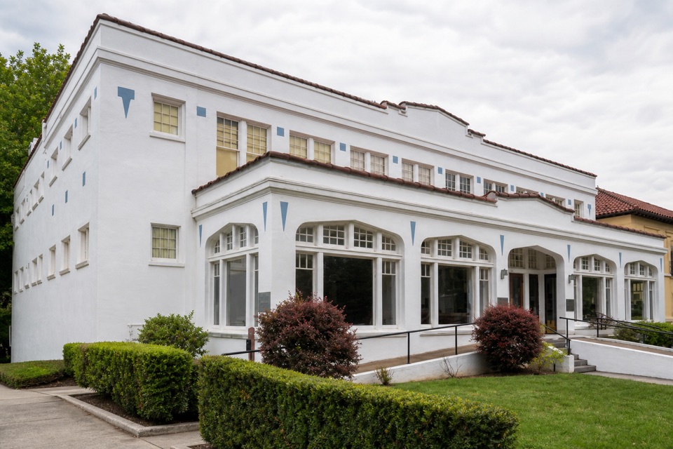 Store · 0.8 mi awayLamar Bathhouse and Bathhouse Row EmporiumShop for park books inside a bathhouse built in 1923.
Parkwolf’s Hot Springs ranking

The audio tour guide for the drive, plus offline maps, trails, and wildlife heatmaps for when the signal drops.