Challenging

Sunset Trail

Hot Springs’ longest, view-studded backbone with a novaculite showpiece
Sunset Trail, Hot Springs National Park
Distance13 mi
Typical time7.5 hr
DifficultyChallenging
PetsAllowed

Overview

Sunset Trail is the park’s longest, most strenuous hike—your go-to if you want a full tour of Hot Springs’ ridges, ponds, and quiet backcountry edges. The core Sunset Trail runs roughly 10 miles one way, but most hikers link connectors into a loop that comes in around 13 miles (with a bigger, park-advised variation reaching 15–17). Expect 6–9 hours depending on the route and pace. The effort pays off with varied terrain, a handful of overlooks, and one bona fide showstopper: Balanced Rock.

Route flavor and highlights

Sunset is split into three named sections that stitch together cleanly and make it easy to bite off a segment or the whole enchilada:

  • West Mountain (2.8 mi): Big-picture views south toward Lake Hamilton and proximity to the park’s high point, Music Mountain (1,405 ft). Stay north of the communication towers.
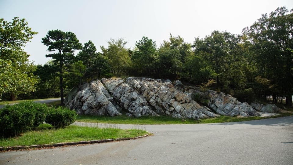
  • Sugarloaf Mountain (2.6 mi): A ridge walk with a short, must-do 0.2 mi spur to Balanced Rock—an impressive outcrop of Arkansas novaculite and one of the park’s best vistas. Expect a brief, steep, rocky pitch near Cedar Glades Road.
  • Stonebridge Road (3.8 mi): Rolls past historic Fordyce estate lands to Ricks Pond—great for spotting aquatic wildlife—and crosses Highway 7 before finishing near Gulpha Gorge Campground. You’ll see side spurs in this zone; heed signs and stay on the orange-blazed route.

Trail blazes are orange and generally reliable, but there are false spurs that leave the park or onto private property, especially around Cedar Glades (stay north of the water tank) and near Ricks Pond. A popular way to hike the full loop is counterclockwise for a steadier early climb, a steeper late descent, and better-flowing views.

Difficulty, terrain, and what you’ll see

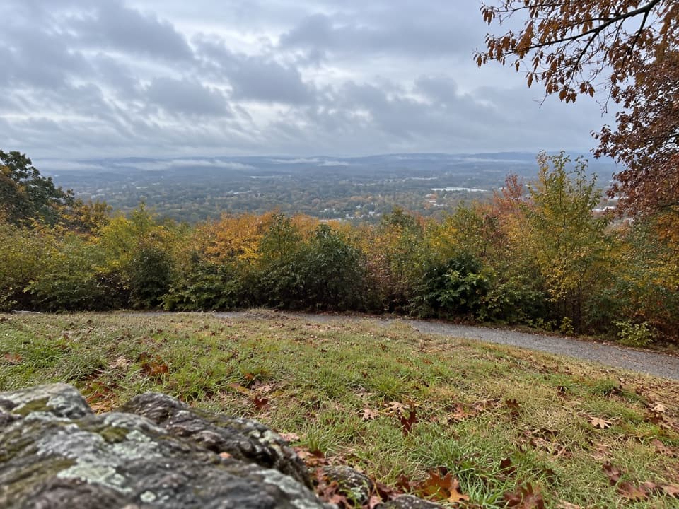
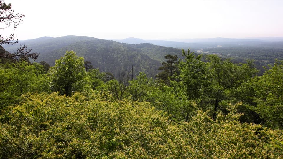
This is a long day with rolling hills, a few stout climbs, and sections that get rocky underfoot. Views come and go through the trees; Balanced Rock is the marquee viewpoint, with scattered overlooks elsewhere. You’ll pass novaculite-capped ridges, sandstone and shale layers, and gentle glades that bloom in season. Wildlife reports include deer and wild turkeys, plus plenty of birdlife; ticks are a thing in warmer months, so plan accordingly.

Logistics and tips

  • Parking/Access: West Mountain Summit, Blacksnake Road, Cedar Glades Road, and Gulpha Gorge Campground all work for section hikes, shuttles, or a loop.
  • Hours/Rules: Open year-round; trails closed overnight (10 pm–5 am). Dogs are welcome on leash.
  • Water/Safety: Carry more water than you think you need—summer heat and humidity hit hard. Natural water isn’t guaranteed potable. Cell service fades in the backcountry stretches, so bring a map and download offline navigation.
  • Wayfinding: Follow orange blazes closely. Ignore enticing old roadbeds and powerline cuts; they’re not the trail. Use extra care crossing Highway 7.

Is it worth it?

If you want Hot Springs’ most complete hiking day, yes—Sunset is the backbone. Just know it’s more about the journey than constant big vistas, and short stretches near roads and town reduce the wilderness feel. If you’re after a quicker payoff, sample West Mountain or link shorter trails near North/Hot Springs Mountain. If you want the park’s deepest cut in a single day, this is the one.

Best time to hike

Year-round works. Spring and fall are the sweet spot for temperatures, wildflowers, and clearer views. Start early in summer to beat heat and humidity. Weekdays are quieter. Morning light hits Sugarloaf’s ridge and Balanced Rock nicely; late-day light can be great on West Mountain—just leave enough time to finish before trails close.

Pros

  • Balanced Rock spur delivers the park’s standout vista and geology up close
  • Multiple legal trailheads make it easy to section-hike or shuttle the backbone
  • Ricks Pond is a reliable mid-hike stop for wildlife viewing and a breather

Cons

  • False spurs and old roadbeds can lure you off-route, sometimes onto private land
  • Views are intermittent and brief roadside segments can break the wilderness vibe

Parking

Trailhead access and parking at West Mountain Summit, Blacksnake Road, Cedar Glades Road, and Gulpha Gorge Campground.

Caution

Follow orange blazes; ignore false spurs and old roadbeds, especially near Cedar Glades and Ricks Pond. Stay north of the West Mountain towers and the Cedar Glades water tank. Use care crossing Highway 7. Expect steep, rocky sections, limited cell service, summer heat, and ticks.

The Parkwolf tour guide sitting on a phone mounted in a car

Parkwolf Tour Guide

Like a tour guide in your car.

Bring Hot Springs trail research into the car, with offline maps and stories that play as you drive.Download Parkwolf on the App Store