Parking
From Highway 93A, turn onto rough, unpaved Geraldine Road and continue 6 km to the Geraldine Lakes parking lot, 3.3 km beyond the Fryatt trailhead. High clearance is recommended; trailers and RVs are not suitable.

Icefields Parkway (Highway 93), AB
A rugged climb to alpine lakes, waterfalls, and a backcountry camp.
Overview
Map & elevation
Plan your hike

The highest, rockiest slopes around here are a summer buffet for grizzly bears.
Icefields Parkway Tour Guide
Parkwolf is a GPS audio tour guide for Icefields Parkway (Highway 93). As you drive, it chimes in with what’s ahead: hidden gems, upcoming stops, history, geology, and wildlife, right through your car’s speakers.
See the Icefields Parkway audio tourRecorded for this trailhead
Geraldine Road: Lakes and Backcountry Hikes“You're nearing the Geraldine Road turnoff, for Geraldine Lakes and Fryatt Valley. The road is rough gravel, with high clearance recommended and no RVs or trailers.”
Plays as you drive up to this trailhead in the Parkwolf Icefields Parkway Tour Guide.
More stories near here in the app
“Fantastic app with many points of information… It’s great to just turn on while you’re driving and it gives you an audio tour of the national Park. We love it!!!!”


Trail guide
Geraldine Lakes Trail is a 12.4 km out-and-back to the Second Geraldine Lake campground, with 608 m of climbing through forest, waterfalls, steep headwalls and large boulder fields. It is a difficult, full-day hike; allow 5–6 hours, and more if you want time at the lakes. The boulder travel makes route-finding part of the work. The trailhead is at the end of Geraldine Road, a rough gravel road where high clearance is recommended and trailers or RVs are not suitable.
The first 1.8 km climbs steadily through forest to First Geraldine Lake, tucked between Mount Fryatt and Whirlpool Peak. Beyond the lake, the trail steepens for a roughly 90 m rise, then crosses a large boulder field marked by cairns. At about 4.2 km, a waterfall and steep headwall signal another hard push. The rocks become very slippery after rain or snow, so take your time through this section.
Above the headwall, the route follows a rocky ridge and crosses more boulder fields before a second steep climb of about 150 m near Second Geraldine Lake. The final 1.2 km beside the lake is nearly level. To reach the campground at the far end, cross a small creek. The campground sits at 1,890 m beside the creek and has four sites, a barrel toilet and food lockers.
The signed day-hike route ends at the Second Lake campground. Beyond it, there are upper-valley lakes but no official signed trail, and route-finding skills are required. Overnight stays need a backcountry camping permit and are limited to two nights. Dogs are permitted but may find the route challenging; bikes and horses are not allowed. Early-season snowmelt can flood the campground. For a shorter outing, the moderate First Lake walk is 3.6 km return with 200 m of gain and takes about 1–2 hours.
Wildlife
 12 sightingsGrizzly BearMost seen around 6 AMSighting map
 127 sightingsBlack BearMost seen around 7 PMSighting map
 16 sightingsMooseMost seen around 6 AMSighting map
 100 sightingsElkMost seen around 8 PMSighting map
 34 sightingsMountain GoatMost seen around 7 PMSighting map
 53 sightingsBighorn SheepMost seen around 6 PMSighting map
Sighting maps show where each species has been reported across Icefields Parkway. Wildlife moves, so no sighting is guaranteed.
Keep exploring
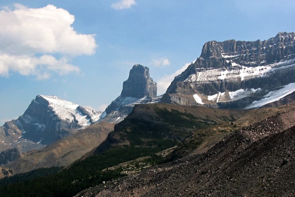 ChallengingFryatt Trail44 km · 16 hr · 2.5 km awayA long valley approach ends at a hut beyond a steep headwall.
 EasyAthabasca Falls Trail1 km · 45 min · 4.7 km awayA short circuit links powerful falls and a sculpted limestone canyon.
 EasyMoab Lake Spur1.3 km · 45 min · 5.3 km awayA short lakeshore walk from the Moab Lake access road.
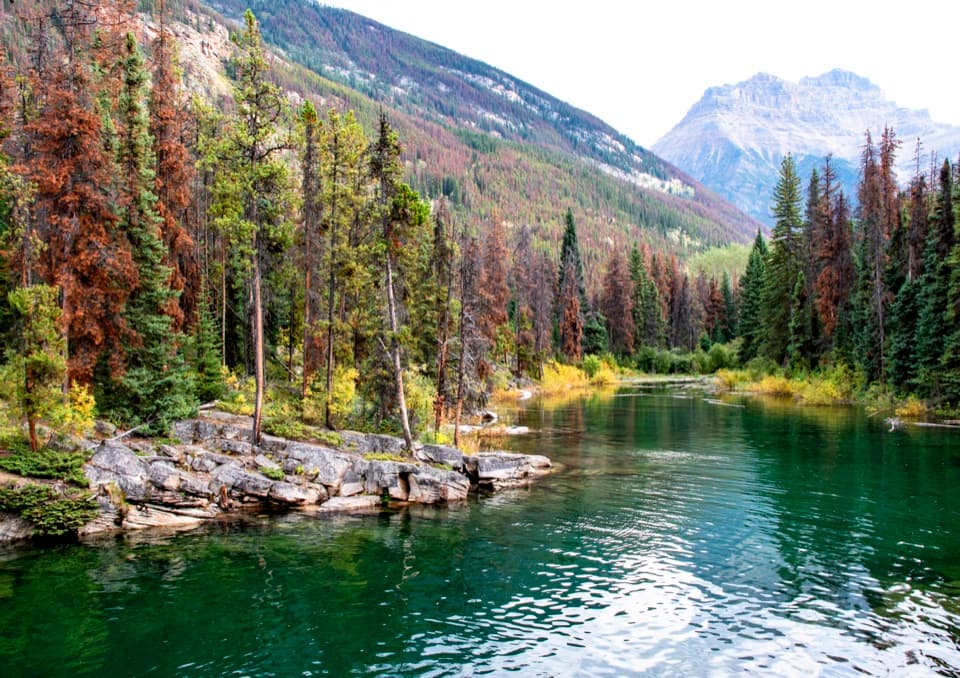 EasyHorseshoe Lake Trail1.6 km · 30 min · 8 km awayA short loop for clear water and cliff-framed lake views.
 ModeratePath of the Glacier Trail1.6 km · 1 hr · 11.6 km awayA steady climb to Angel Glacier's high cirque viewpoint
 ModerateWabasso Lake Trail6.8 km · 2.5 hr · 16.3 km awayBeaver-made lake and a mountain view from the last ridge.
 ModerateWabasso–Five Lakes Trail10 km · 4.5 hr · 16.3 km awayA longer through-walk linking Wabasso Lake with the Five Lakes area.
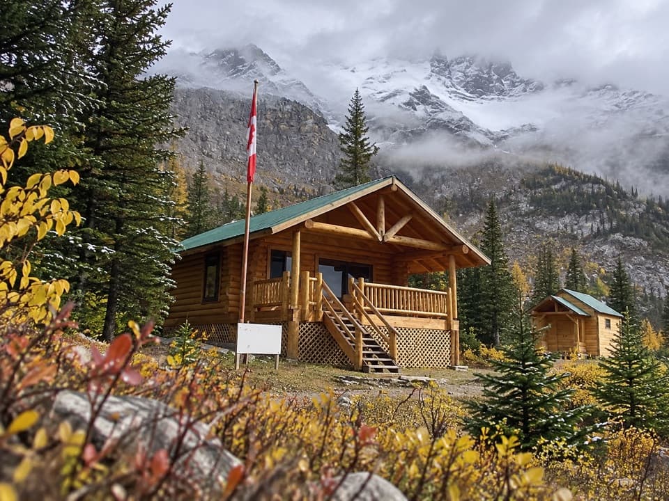 ChallengingCurator Trail13.6 km · 6 hr · 16.3 km awayA steep climb from the highway into the Skyline’s high country.
 Campground · 3.3 km awayMount Kerkeslin CampgroundA simple riverside stop beneath the evergreens.
 Sight · 4.5 km awayAthabasca FallsA forceful river drop into a short, water-carved canyon.
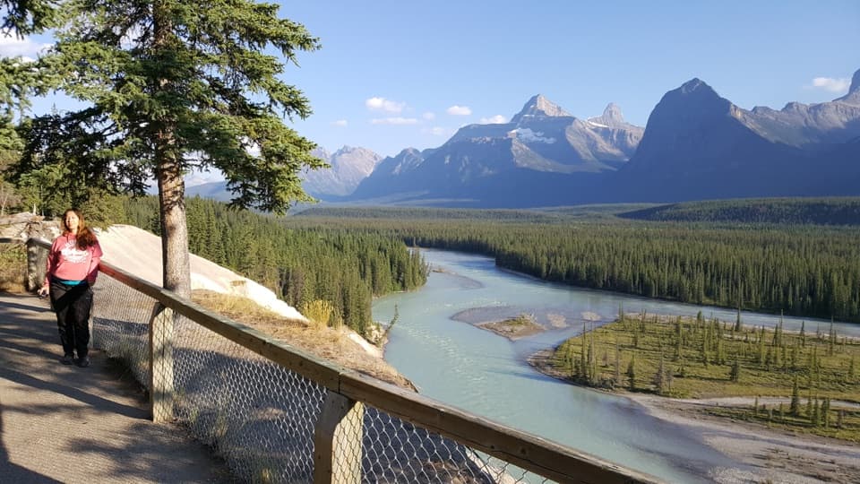 Scenic pullout · 4.8 km awayGoats and Glaciers ViewpointA short paved walk to a wide river valley, goats optional.
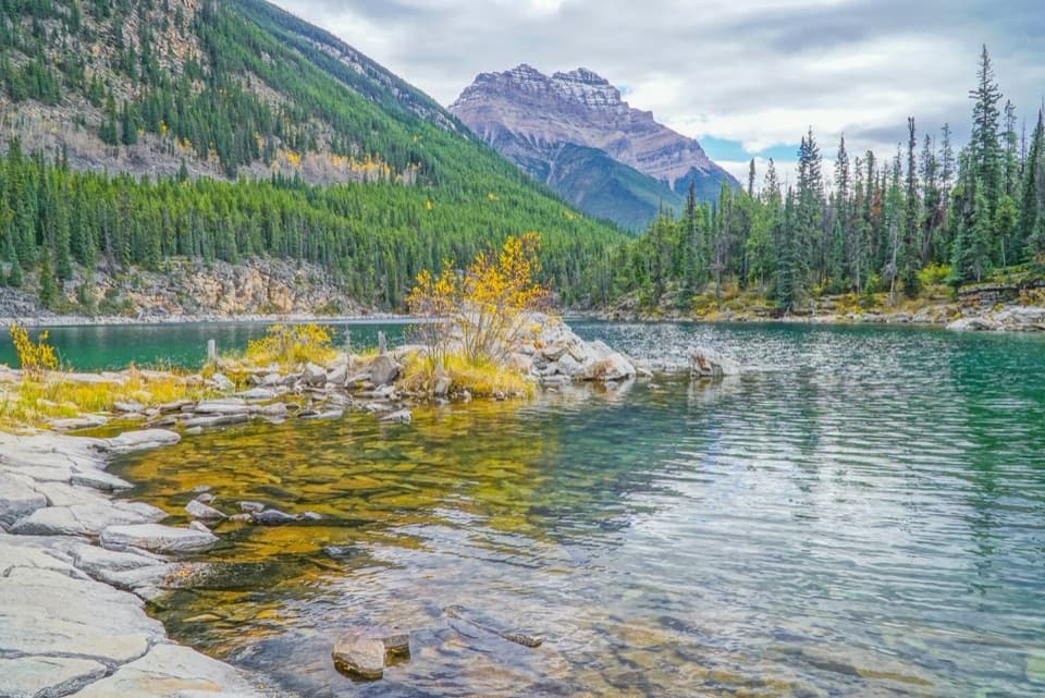 Sight · 8 km awayHorseshoe LakeA clear, cold lake tucked beneath steep rock walls.
 Scenic pullout · 8.2 km awayMount Christie ViewpointRed chairs frame Mount Christie’s pyramid above the Athabasca Valley.
Parkwolf’s Icefields Parkway ranking

The audio tour guide for the drive, plus offline maps, trails, and wildlife heatmaps for when the signal drops.




