Parking
Use the paved Athabasca Falls day-use parking area off Highway 93A; a separate lot serves large vehicles. Two pit toilets are on site. Designated accessible stalls have no side access aisles.

Icefields Parkway (Highway 93), AB
A short circuit links powerful falls and a sculpted limestone canyon.
Overview
Map & elevation
Plan your hike

The highest, rockiest slopes around here are a summer buffet for grizzly bears.
Icefields Parkway Tour Guide
Parkwolf is a GPS audio tour guide for Icefields Parkway (Highway 93). As you drive, it chimes in with what’s ahead: hidden gems, upcoming stops, history, geology, and wildlife, right through your car’s speakers.
See the Icefields Parkway audio tourRecorded for this trailhead
Athabasca Falls: Follow the Canyon“Up ahead is Athabasca Falls, where the force of the river is the reason to stop. The drop is only twenty-three metres, but a broad glacier-fed river squeezes into a narrow canyon here.”
Plays as you drive up to this trailhead in the Parkwolf Icefields Parkway Tour Guide.
More stories near here in the app
“Fantastic app with many points of information… It’s great to just turn on while you’re driving and it gives you an audio tour of the national Park. We love it!!!!”


Trail guide
This roughly 0.65-mile loop connects the Athabasca Falls day-use lot with the upper viewpoints, the pedestrian bridge over the gorge, and lower canyon platforms before returning along the linked paths. That distance is the mapped full circuit, including the access walk; visitors who turn back after one overlook cover less. Give yourself about 45–60 minutes to walk, stop at several views, and read the interpretive posts. The main platforms are popular, so expect to share them. Most of the route is paved, but this is not a step-free outing: the 150-metre path to the upper viewpoint has steep, uneven sections, and the bridge viewpoint is reached by 14 short steps with a handrail on one side.
Start from the paved lot and take the connecting path toward the falls. The upper viewpoints look over the drop and toward Mount Kerkeslin; the pedestrian bridge brings you close to the narrow canyon. Continue around the linked viewing paths to see the river from several angles, then loop back toward the parking area. The falls are about 23 metres high, but a large volume of water drives their force. The short walk makes it easy to pause at the platforms rather than rushing to the bridge and back.
The river crosses hard quartzite and cuts into softer limestone below. Over time, the water has carved potholes and the short canyon visible from the viewpoints. From a safe position behind the railings, look for the contrast between the layered rock and the churning channel; a wide frame can hold both the waterfall and the gorge. Mist coats nearby rocks with a thin film, so keep to the designated paths and do not climb past barriers for a closer photograph.
The Athabasca River flows from Columbia Icefield glaciers and is Jasper's largest river system. David Thompson traveled the river in 1810 while seeking a fur-trade route to the Pacific and found Athabasca Pass in early January 1811. In 1862, the Overlanders followed the river toward the Cariboo Goldrush. Its natural, historic, and recreational importance later earned the river Canadian Heritage River status in 1989. The falls' viewpoints put that larger route into view: the water you watch here continues through a valley used by travelers and transport routes.
Use the paved Athabasca Falls day-use parking area off Highway 93A; a separate lot is mapped for large vehicles. There are two pit toilets. Designated accessible stalls are available, without side access aisles, and the toilets have grab bars, though the facilities may not meet every accessibility standard. The 150-metre paved path reaches the upper viewpoint, but it has steep, uneven stretches; turn back there for a shorter visit if that terrain suits you. The main bridge adds the 14 steps described above. Dogs may accompany visitors on leash under Jasper park rules. Check current park notices before driving out, since road and trail access can change.
Wildlife
 12 sightingsGrizzly BearMost seen around 6 AMSighting map
 127 sightingsBlack BearMost seen around 7 PMSighting map
 16 sightingsMooseMost seen around 6 AMSighting map
 100 sightingsElkMost seen around 8 PMSighting map
 34 sightingsMountain GoatMost seen around 7 PMSighting map
 53 sightingsBighorn SheepMost seen around 6 PMSighting map
Sighting maps show where each species has been reported across Icefields Parkway. Wildlife moves, so no sighting is guaranteed.
Keep exploring
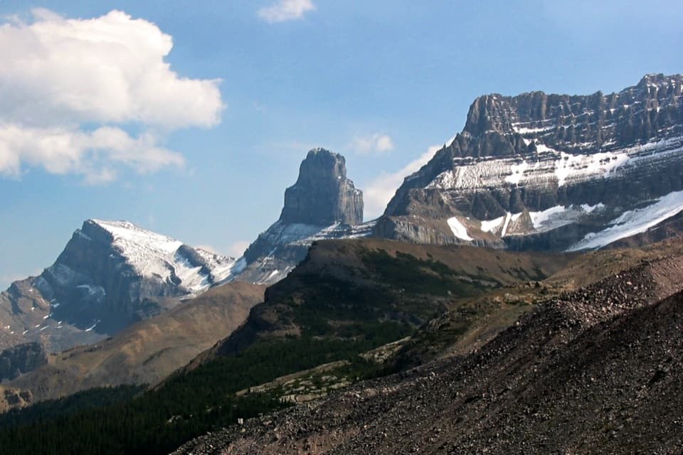 ChallengingFryatt Trail44 km · 16 hr · 2.2 km awayA long valley approach ends at a hut beyond a steep headwall.
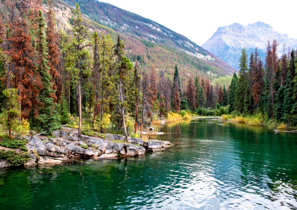 EasyHorseshoe Lake Trail1.6 km · 30 min · 3.4 km awayA short loop for clear water and cliff-framed lake views.
 ChallengingGeraldine Lakes Trail12.4 km · 5.5 hr · 4.7 km awayA rugged climb to alpine lakes, waterfalls, and a backcountry camp.
 EasyMoab Lake Spur1.3 km · 45 min · 4.8 km awayA short lakeshore walk from the Moab Lake access road.
 ModeratePath of the Glacier Trail1.6 km · 1 hr · 11.9 km awayA steady climb to Angel Glacier's high cirque viewpoint
 ModerateWabasso Lake Trail6.8 km · 2.5 hr · 13.3 km awayBeaver-made lake and a mountain view from the last ridge.
 ModerateWabasso–Five Lakes Trail10 km · 4.5 hr · 13.3 km awayA longer through-walk linking Wabasso Lake with the Five Lakes area.
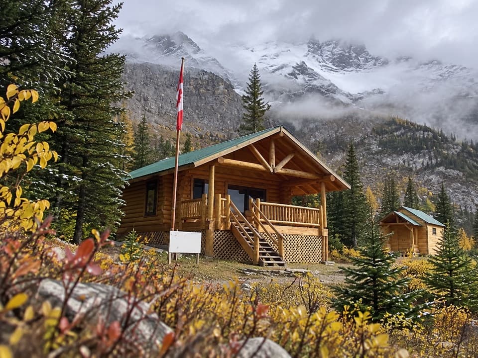 ChallengingCurator Trail13.6 km · 6 hr · 13.3 km awayA steep climb from the highway into the Skyline’s high country.
 Sight · 0.2 km awayAthabasca FallsA forceful river drop into a short, water-carved canyon.
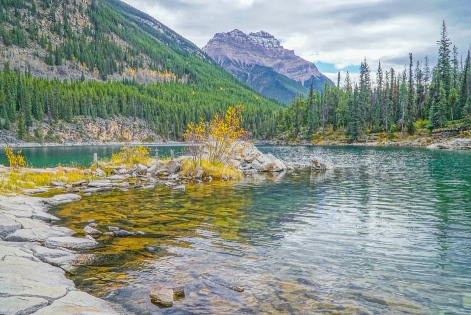 Sight · 3.4 km awayHorseshoe LakeA clear, cold lake tucked beneath steep rock walls.
 Campground · 3.9 km awayMount Kerkeslin CampgroundA simple riverside stop beneath the evergreens.
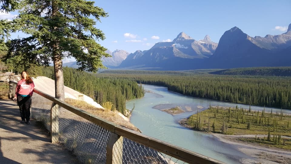 Scenic pullout · 6 km awayGoats and Glaciers ViewpointA short paved walk to a wide river valley, goats optional.
 Scenic pullout · 9.4 km awayMount Christie ViewpointRed chairs frame Mount Christie’s pyramid above the Athabasca Valley.
Parkwolf’s Icefields Parkway ranking

The audio tour guide for the drive, plus offline maps, trails, and wildlife heatmaps for when the signal drops.




