Pros & cons
PROS
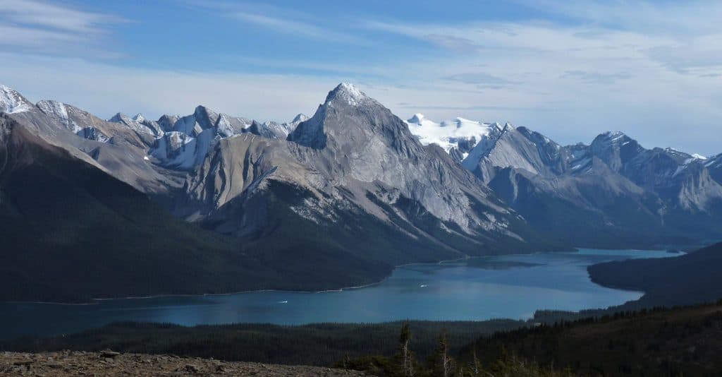
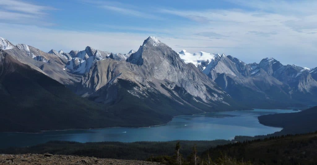
- Huge 360° vistas over Maligne Lake and the Queen Elizabeth Ranges
- Optional ridge walking across multiple open “balds” for wow-factor views
- Summer wildflowers and frequent small-mammal sightings near the meadows
CONS
- Lower fire road can feel like a long, viewless grind
- Summit ridges are exposed and often windy; weather moves fast
- Dogs prohibited due to caribou habitat protection
Why go
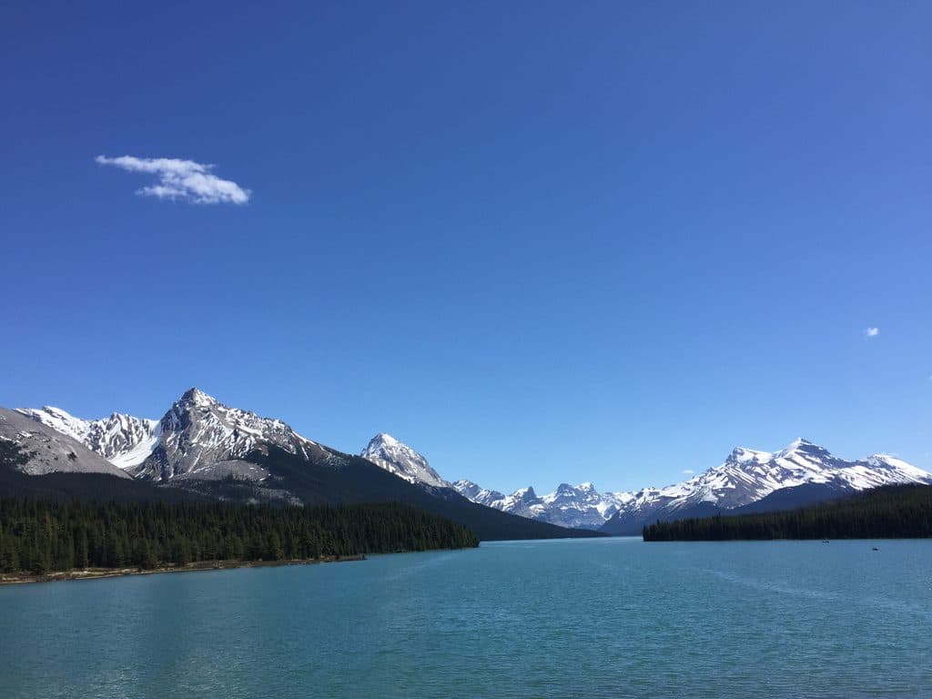
Bald Hills is the classic Maligne Lake viewpoint hike: a steady climb that pops you above treeline onto open ridges with sweeping 360° views of the lake and surrounding peaks. It’s popular for good reason—this is big scenery with very little guesswork, and you can keep walking along the ridge for even grander panoramas.
The hike at a glance
- Distance: ~14–15 km round-trip depending on route choice
- Elevation gain: roughly 610–755 m
- Time: 4–6 hours for most hikers
- Difficulty: Moderate. A steeper shortcut gets you up faster; the fire road is longer but gentler.
Route options
From the Maligne Lake area, follow signs for Bald Hills. Many hikers take the steeper shortcut up, then descend the longer fire road to save the knees. Once you crest the first open high point, continue to the higher second bald marked by a prominent cairn for the best panoramas. If you’re feeling strong, keep traversing additional balds or loop back down via a narrow trail to rejoin the road.
What makes it special
This is ridge-walking heaven: broad, treeless tops with that “on top of the world” feeling and uninterrupted views of Maligne Lake. In summer, delicate alpine wildflowers—moss campion, stonecrop, gentian, and white mountain heather—dot the meadows. It’s one of the park’s most reliably jaw-dropping viewpoints.
Wildlife
Expect to see busy little locals like golden‑mantled and Columbian ground squirrels, marmots, and pikas near the summits. Bears, moose (sometimes with calves), caribou, and deer are possible in forested approaches—carry bear spray and stay alert.
Practicalities
Trailhead parking is at Maligne Lake, with restrooms and limited services nearby. The lower fire road is wide and well marked; signage at junctions keeps navigation simple. Note: no dogs are allowed to protect sensitive caribou habitat.
Geology & feel
These “bald” ridges owe their openness to glacial shaping and harsh alpine conditions that keep trees at bay, leaving rolling, grassy tops perfect for views.
Best time to visit
- Season: Late May–October is ideal; early season can hold lingering snow and mud.
- Day/time: Start early for quieter summits and steadier weather. Midday brings more crowds. Photographers will appreciate softer light early or late in the day.
- Bonus: If you’re pairing the hike with a Maligne Lake cruise, book ahead—departures are frequent but sell out.

Strategy tips
- Go up the shortcut, descend the fire road for an easier finish.
- Pack layers—wind and cold are common on the ridge, even in summer.
- Bring the 10 essentials and bear spray; there’s no water on the route.
- If you only do one viewpoint, make it the higher second bald with the big cairn.
Where it is
52.7198, -117.6715Tips for Bald Hills
- 01Start early to have the ridge and balds mostly to yourself.
- 02Ascend the steep shortcut and descend the longer fire road to save your knees.
- 03Carry bear spray and layers—wind, cold, and wildlife are common here.
- 04Dogs aren’t allowed due to caribou habitat; plan pet care accordingly.
- 05If pairing with the Maligne Lake cruise, reserve tickets in advance.
Amenities
Near Bald Hills
All places →All trails →
1.5 mi awayMaligne Lake Lakeshore TrailFlat lakeside loop with turquoise views and Mary Schäffer historyEasy · 2 mi · 1.5 hr
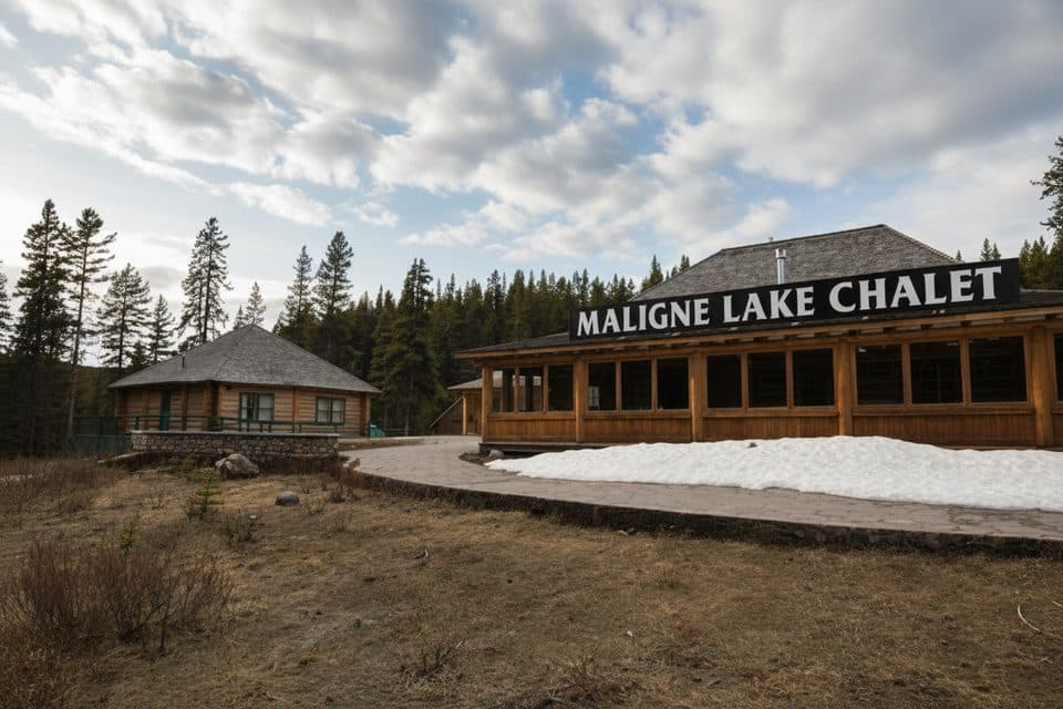
1.5 mi awayMaligne Lake Chalet and Guest House National Historic SiteHistoric log chalet above Maligne Lake with classic Rockies viewsParking · Scenic Viewpoint
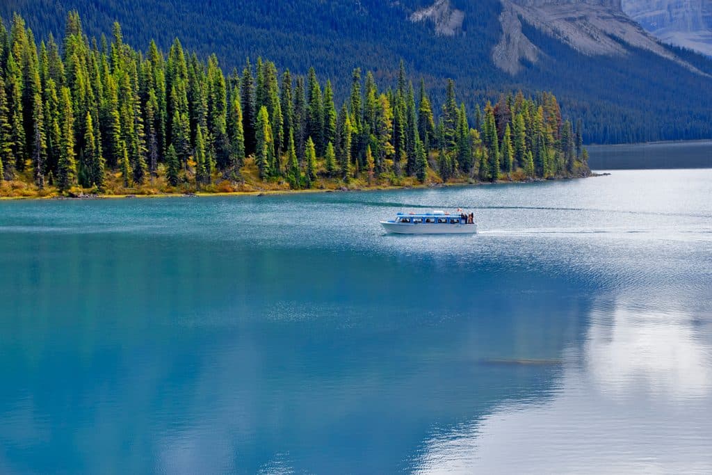
1.5 mi awayMaligne Lake CruiseGuided boat ride to Spirit Island on turquoise glacial watersTrailhead · Restroom
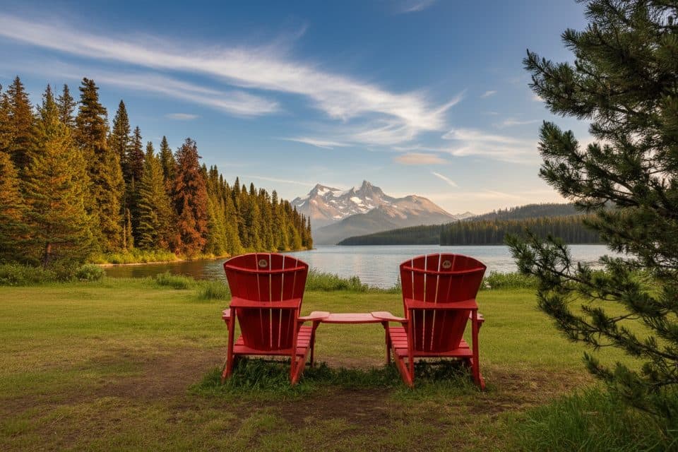
1.6 mi awayThe Red ChairsIconic red chairs with big Maligne Lake viewsTrailhead · Restroom
1.7 mi awayOpal HillsSteep loop to flower-filled meadows and Maligne Lake panoramasChallenging · 5.1 mi · 4 hr
1.7 mi awayOpal Hills LoopShort, steep grind to flower meadows and big Maligne Lake viewsChallenging · 5.1 mi · 3.5 hr
1.7 mi awayOpal Peak RouteSteep meadows-to-summit climb above Maligne Lake with big viewsChallenging · 7.4 mi · 6.5 hr
6.9 mi awayMaligne LakeGlacier-blue lake with cruises to photogenic Spirit IslandTrailhead · Parking