Parking
Turn left into the first parking area at Maligne Lake, then left again and uphill to the farthest of the three lots. The signed Opal Hills trail begins at the northeast corner of that lot.
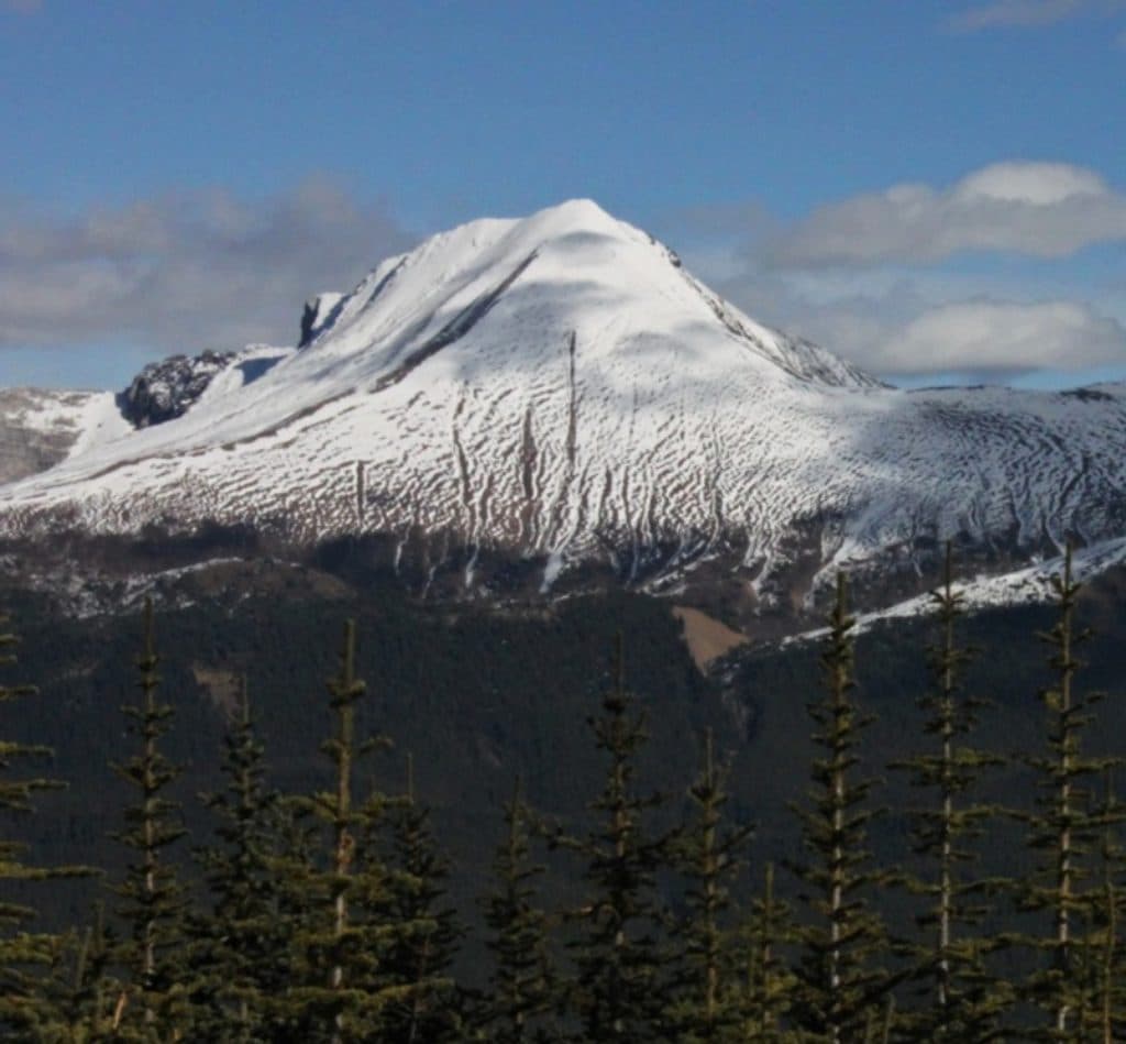
Jasper National Park, AB
Strenuous Opal Hills loop with an unmaintained summit connector above Maligne Lake
Overview
Opal Peak Route is a strenuous loop-plus-summit outing from the northeast Opal Hills trailhead at Maligne Lake. Follow the Opal Hills Loop counter-clockwise through steep forest and open subalpine meadows, then use the unmaintained summit connector across the upper route to the Opal Peak high point before returning to the loop and parking area.
The complete outing is about 10.4 km/6.4 miles and typically takes 6–8 hours, with roughly 1,020 m/3,350 ft of cumulative climbing. The route combines the official Opal Hills Loop with a difficult, unmaintained summit section; the mapped line closes at the trailhead and represents the connector between the loop endpoints.
Expect steep grades, loose rock and scree, route-finding in open alpine terrain, and short exposed sections near the high point. The summit section is not maintained like the official loop and may require scrambling; turn around at the meadows or on the loop if the upper route is beyond your comfort level.
The route has broad views over Maligne Lake, the Maligne Valley, Leah Peak, and the Queen Elizabeth Range. This is bear country, so carry bear spray, make noise, and travel in a group when possible. Use the signed trailhead in the farthest northeast lot and follow the loop signs before leaving the maintained trail.
Map & elevation
Plan your hike

The highest, rockiest slopes around here are a summer buffet for grizzly bears.
Jasper Tour Guide
Parkwolf is a GPS audio tour guide for Jasper National Park. As you drive, it chimes in with what’s ahead: hidden gems, upcoming stops, history, geology, and wildlife, right through your car’s speakers.
See the Jasper audio tourRecorded for this trailhead
Opal Hills Trailhead: A Steep Climb or a Moose Walk“The trailhead coming up offers two very different experiences.”
Plays as you drive up to this trailhead in the Parkwolf Jasper Tour Guide.
More stories near here in the app
“Fantastic app with many points of information… It’s great to just turn on while you’re driving and it gives you an audio tour of the national Park. We love it!!!!”


Wildlife
 174 sightingsGrizzly BearMost seen around 8 PMSighting map
 43 sightingsCaribouMost seen around 7 AMSighting map
 40 sightingsGray WolfMost seen around 6 AMSighting map
 12 sightingsCanada LynxMost seen around 8 PMSighting map
 315 sightingsMooseMost seen around 6 AMSighting map
 1,028 sightingsElkMost seen around 7 AMSighting map
Sighting maps show where each species has been reported across Jasper. Wildlife moves, so no sighting is guaranteed.
Keep exploring
 ChallengingOpal Hills8.2 km · 5 hr · At the trailheadSteep loop from Maligne Lake to Opal Hills meadows and wide mountain viewsEasyMary Schäffer Loop3.2 km · 1.5 hr · 0.1 km awayEasy 3.2 km lakeshore loop with Maligne Lake views, history, and forest.
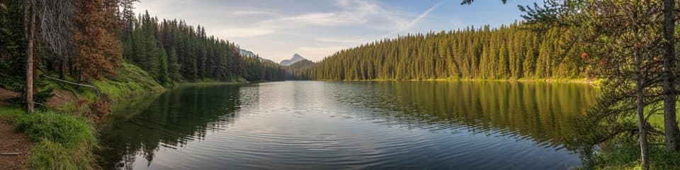 EasyMaligne Lake Lakeshore Trail3.2 km · 1.5 hr · 0.4 km awayFlat lakeside loop with turquoise views and Mary Schäffer history
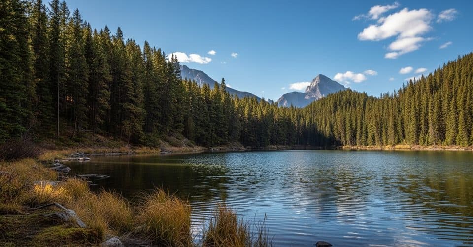 EasyMoose Lake Loop2.7 km · 1.5 hr · 0.8 km awayEasy forest loop to Moose Lake from Maligne Lake
 ChallengingSkyline Trail44.1 km · 18 hr · 0.9 km awayCanada’s premier alpine traverse, with nearly 25 km above treeline.ChallengingShovel Pass Trail35.1 km · 12 hr · 0.9 km awayA demanding Skyline out-and-back to Big Shovel Pass from Maligne LakeEasyLorraine and Mona Lakes Loop5.5 km · 2.5 hr · 0.9 km awayA quiet out-and-back to two clear, landslide-formed lakes off Maligne Lake’s Skyline Trail.
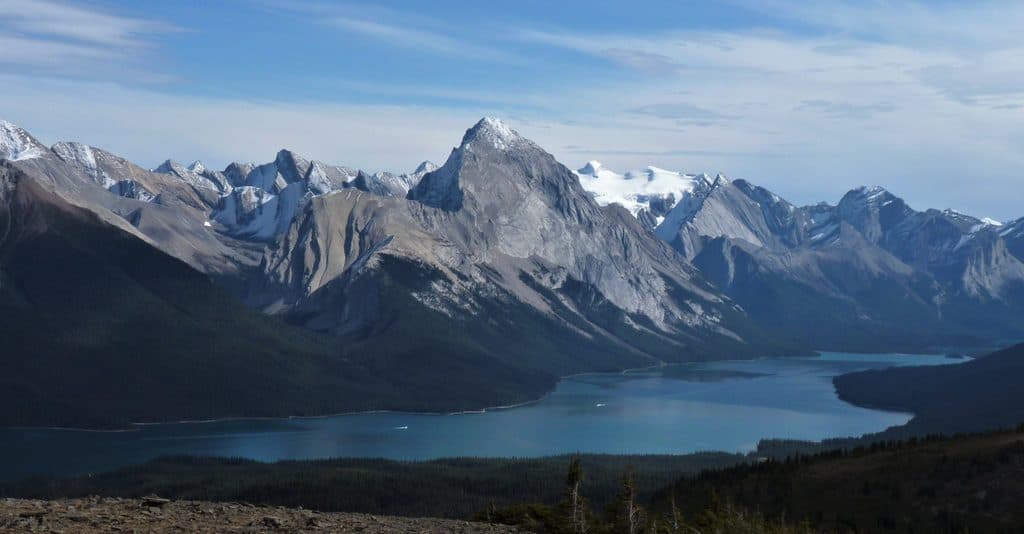 ChallengingBald Hills10.6 km · 5 hr · 0.9 km awayA demanding alpine out-and-back to broad views over Maligne Lake
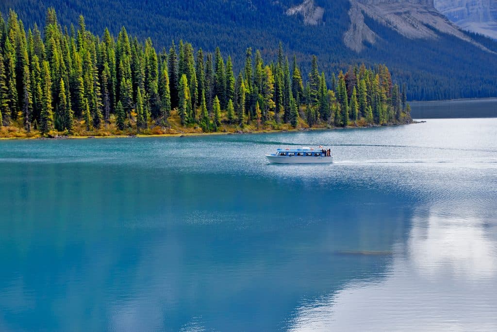 Sight · 0.4 km awayMaligne Lake CruiseGuided boat ride to Spirit Island on turquoise glacial waters
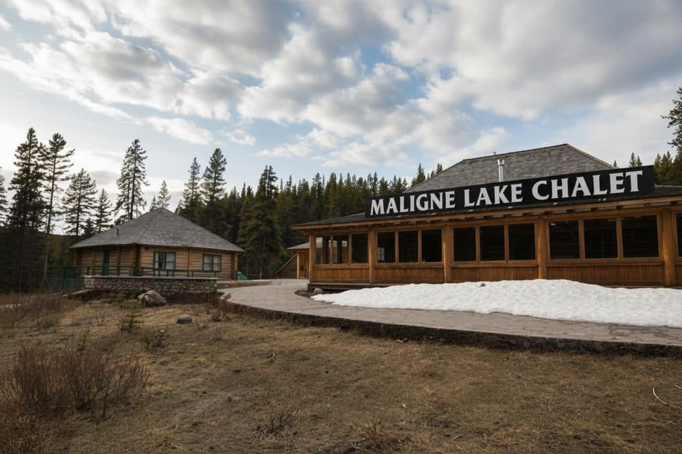 Sight · 0.4 km awayMaligne Lake Chalet and Guest House National Historic SiteHistoric log chalet above Maligne Lake with classic Rockies views
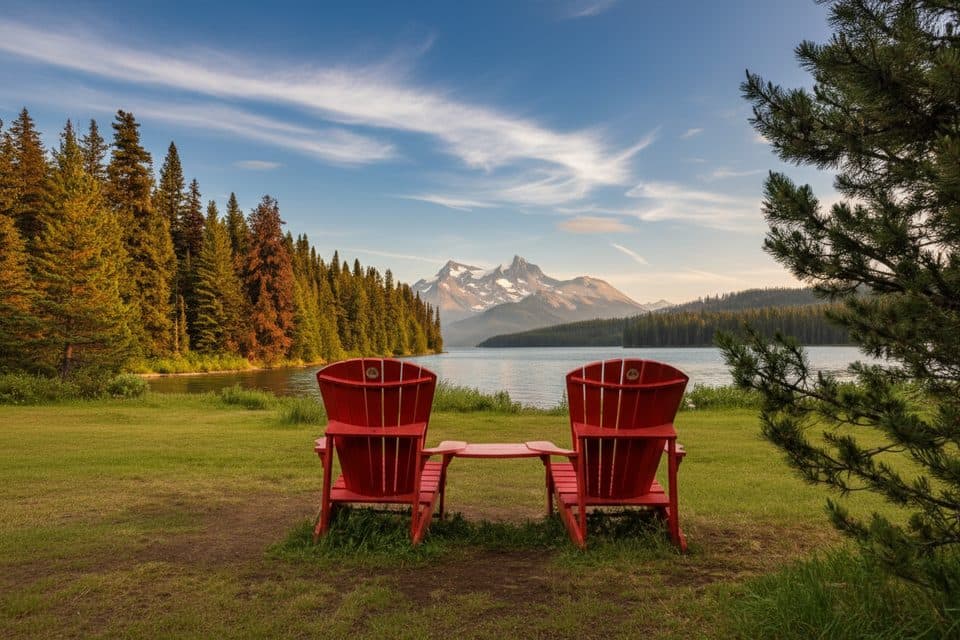 Sight · 0.4 km awayThe Red ChairsIconic red chairs with big Maligne Lake views
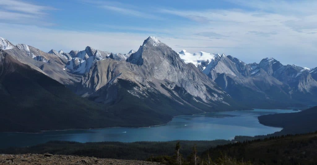 Sight · 2.7 km awayBald HillsBig-sky ridge hike with the best Maligne Lake panoramas
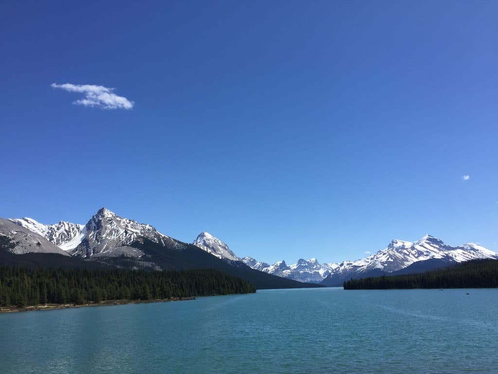 Sight · 9.9 km awayMaligne LakeGlacier-blue lake with cruises to photogenic Spirit Island
 Sight · 13.7 km awaySpirit IslandIconic island view on turquoise Maligne Lake, reached only by boat
 Sight · 15.9 km awayHorseshoe LakeCliff-ringed turquoise lake just off the Parkway
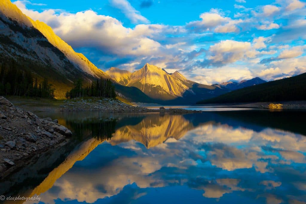 Sight · 16 km awayMedicine LakeDisappearing alpine lake with big views and frequent wildlife
Parkwolf’s Jasper ranking

The audio tour guide for the drive, plus offline maps, trails, and wildlife heatmaps for when the signal drops.




