Jasper National Park, AB

Lorraine and Mona Lakes Loop

A quiet out-and-back to two clear, landslide-formed lakes off Maligne Lake’s Skyline Trail.

Length
5.5km
Time
2.5hr
Elev. change
93m
Difficulty
Easy
  • No dogs
  • High point 1,789 m

Hear the audio tour

The Map to Maligne Lake

Overview

About Lorraine and Mona Lakes Loop

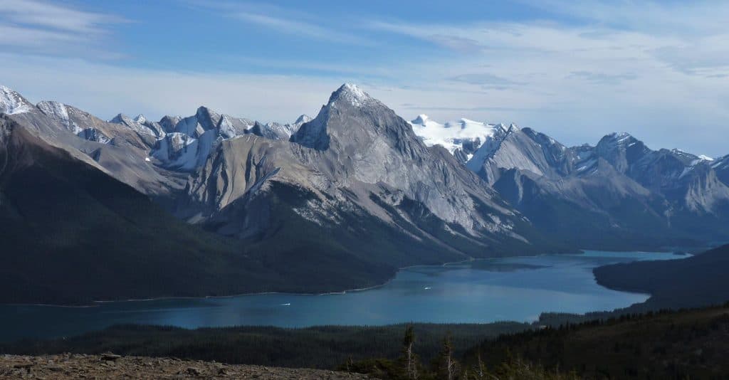
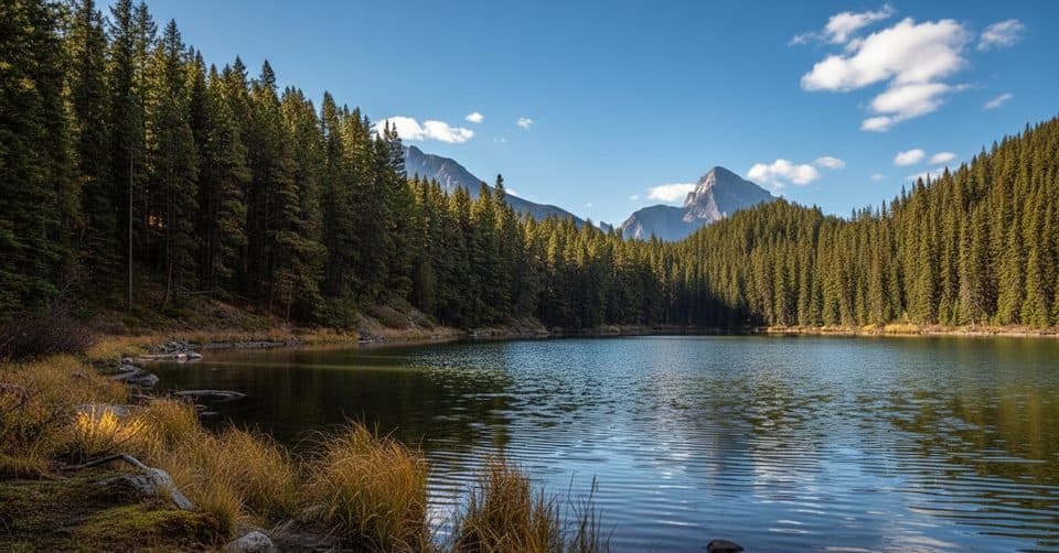
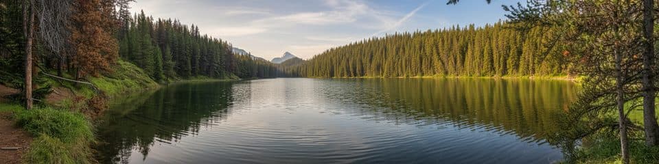
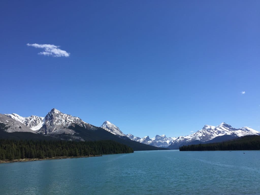
Trail 100 is an easy out-and-back from the Bald Hills trailhead at Maligne Lake. The route follows the Skyline Trail through lodgepole-pine forest for about 2 km, then detours left to Lorraine Lake before continuing about 0.5 km to a right-hand spur for Mona Lake. Both lakes sit in hollows formed by ancient landslide debris, with Mona Lake as the farther endpoint. The verified corridor and lake spurs measure about 5.4 km (3.4 miles) return, with roughly 80 m of elevation gain; allow 2–3 hours.

This is a quiet, forested walk whose payoff is the pair of clear, reflective lakes rather than wide mountain views. The route is easy to follow on the marked Skyline Trail, but the two short lake spurs are the parts that make this a two-lake outing. The Skyline continues beyond Mona toward Evelyn Creek and the backcountry, so turn around at Mona Lake unless you are prepared for a longer route.

Park at the Bald Hills access and follow the signed approach to the Skyline Trail; the Lorraine/Mona route enters the woods about 50 m to the right of the Bald Hills Trail. This is a hike-only route: muddy footing is possible after rain, and the forested spurs can be less obvious than the main trail. Carry bear spray and follow Jasper National Park wildlife guidance.

Why go

  • Two clear subalpine lakes on one easy forest walk
  • Quiet alternative to the busier Maligne Lake shoreline

Heads up

  • Limited mountain views on the forested approach
  • The lake spurs and Skyline continuation can be confusing if you miss the junctions

Map & elevation

The route

Loading the Jasper map
Full map
Elevation1,696–1,789 m
TrailheadBald Hills Trailhead52.72593, -117.64527
Keep this map with you offline in the Parkwolf app

Plan your hike

Before you go

Parking

Use the Bald Hills trailhead access at the end of Maligne Lake Road. Follow the approach to the Skyline Trail; the Lorraine and Mona route enters the woods about 50 m to the right of the Bald Hills Trail. Do not start from the separate shoreline loop parking areas.

Safety

This is an easy but hike-only route with limited views through the forest. The two lake spurs and the Skyline continuation toward Evelyn Creek can be easy to miss; turn around at Mona Lake unless you are equipped for a longer backcountry route. Expect muddy footing after rain. Dogs, bikes, and horses are not permitted on Trail 100 and its 100a/100b lake spurs. Carry bear spray and follow park wildlife guidance.

8 active Jasper alerts

  • ClosureWildfire-impacted areas and facilities closedStay out of closed wildfire-impacted areas and facilities in Jasper National Park; closures protect public safety after the 2024 wildfire and remain in effect while recovery and safety work continues.Official details
  • Closure93A (Wabasso Road) no through travel during roadworkFrom mid-October to early November 2026, plan for 93A (Wabasso Road) to be accessible from the south entrance only; no through travel is expected during roadwork.Official details
See all 8 alerts
A park ranger sits on a dash-mounted phone, talking, as Parkwolf’s Tour Guide plays “Army Cutworm Moths: A Grizzly Bear Buffet” on Grand Loop Road below Dunraven Pass in Yellowstone
Parkwolf Tour GuideThe highest, rockiest slopes around here are a summer buffet for grizzly bears.

Jasper Tour Guide

Your drive to Lorraine and Mona Lakes Loop, narrated.

Parkwolf is a GPS audio tour guide for Jasper National Park. As you drive, it chimes in with what’s ahead: hidden gems, upcoming stops, history, geology, and wildlife, right through your car’s speakers.

See the Jasper audio tour

Recorded for this area

The Map to Maligne Lake
Listen
“For a long time, this lake was a place known mostly to the Stoney Nakoda people, who called it Chaba Imne, or Beaver Lake.”

Plays on the road 0.2 km from the trailhead in the Parkwolf Jasper Tour Guide.

More stories near here in the app

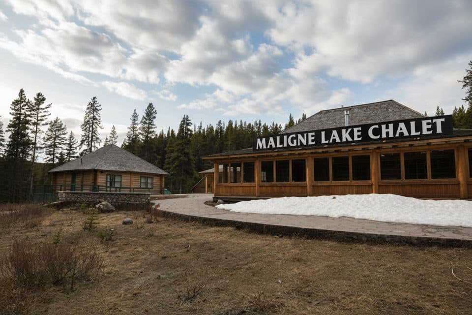
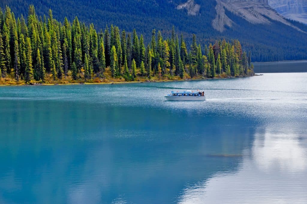
  • Maligne Lake Boat Cruise and Historic Chalet
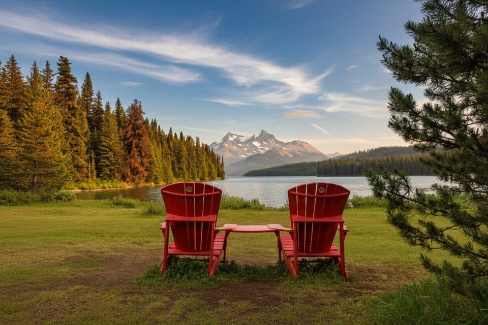
  • The Red Chairs at Maligne Lake
  • Opal Hills Trailhead: A Steep Climb or a Moose Walk
  • The Phantom River: Where Maligne Goes Underground
  • 157 audio storiesacross Jasper’s roads, triggered by GPS as you drive
  • Wildlife heatmapsfor Grizzly Bear, Caribou, Gray Wolf, and 13 more
  • Works offlinemaps, 91 trails, 129 places, and audio download before you lose signal
  • CarPlay readysimple controls built for the drive
★★★★★
“Fantastic app with many points of information… It’s great to just turn on while you’re driving and it gives you an audio tour of the national Park. We love it!!!!”
JMJamesApp Store review
Download Parkwolf on the App StoreGet Parkwolf on Google Play

4.7 from 8,600+ ratings

Wildlife

Wildlife in Jasper

All Jasper wildlife maps

Sighting maps show where each species has been reported across Jasper. Wildlife moves, so no sighting is guaranteed.

Keep exploring

Near Lorraine and Mona Lakes Loop

See it all on the map

Trails that start nearby

Places near the trailhead

Parkwolf’s Jasper ranking

Top-rated trails in Jasper

All 91 trails
  1. 1Skyline TrailChallenging · 44.1 km
  2. 2Maligne CanyonModerate · 3.7 km
  3. 3Cavell MeadowsModerate · 8.4 km
  4. 4Sulphur SkylineChallenging · 8.9 km
  5. 5Athabasca Falls LoopEasy · 0.8 km
  6. 6Indian RidgeChallenging · 8.9 km

Take Parkwolf to Jasper.

The audio tour guide for the drive, plus offline maps, trails, and wildlife heatmaps for when the signal drops.

4.7 from 8,600+ ratings

Download Parkwolf on the App StoreGet Parkwolf on Google Play