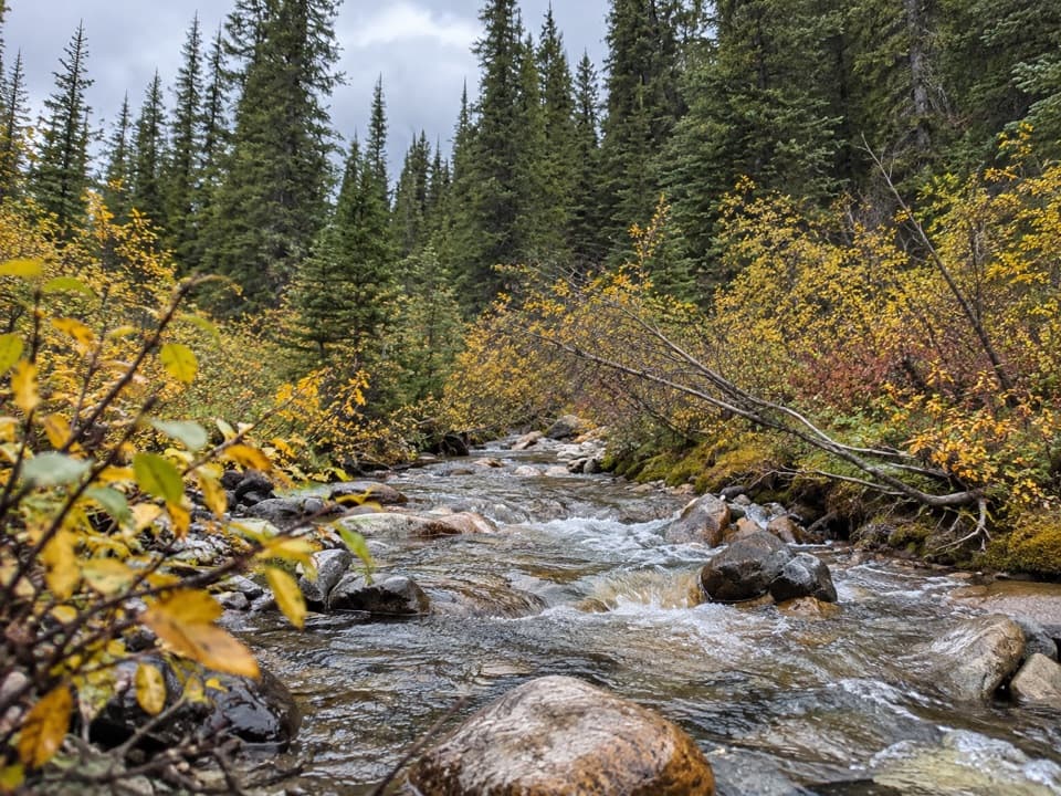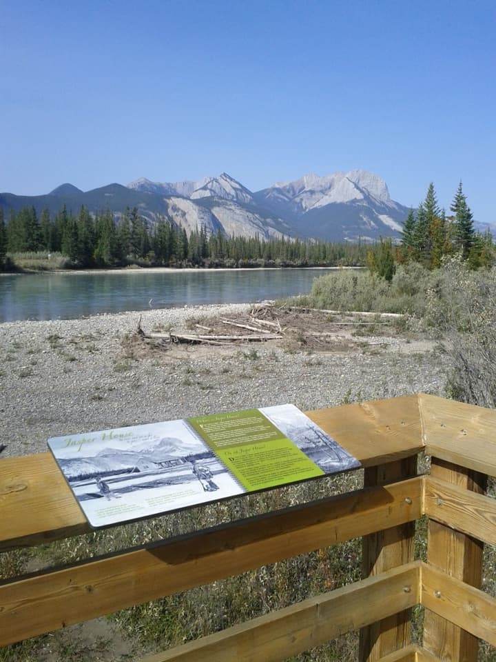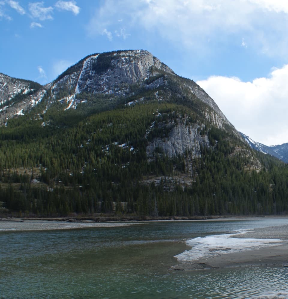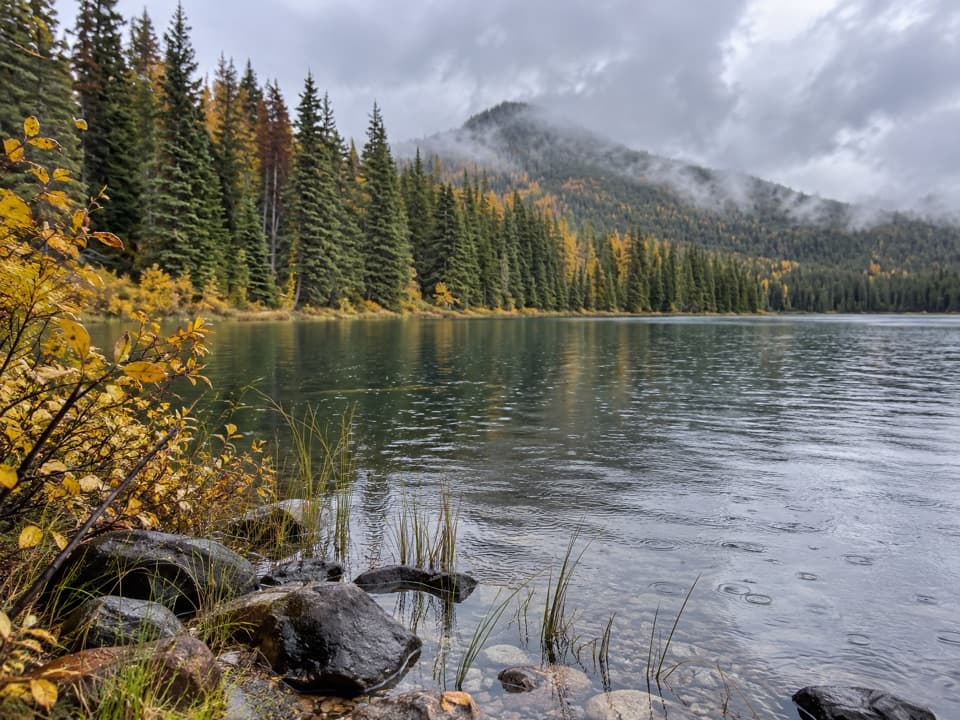
Jasper Lake in Jasper National Park

Sight · Jasper National Park

Jasper Lake

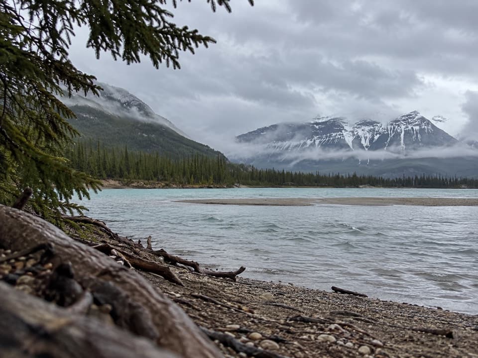
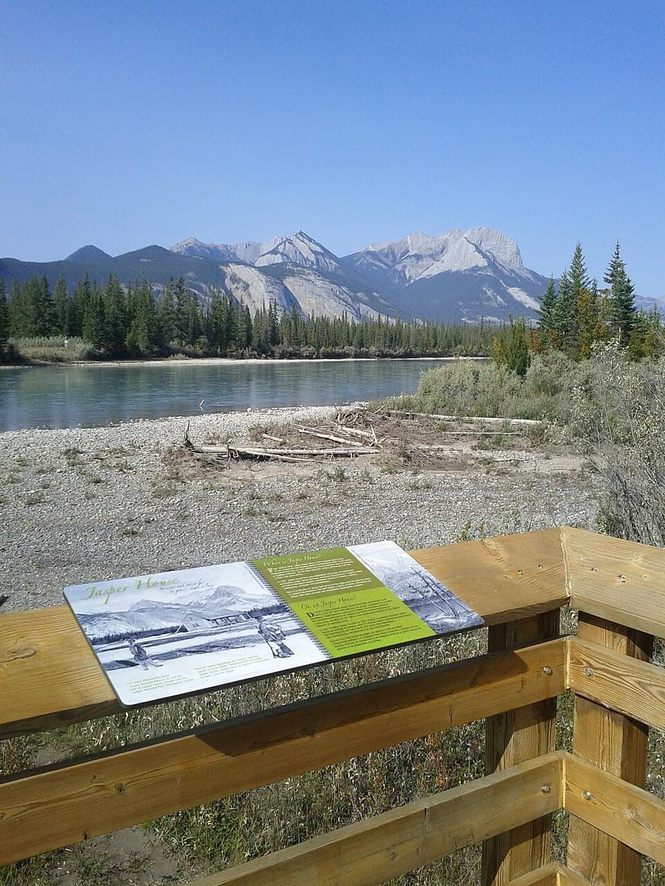
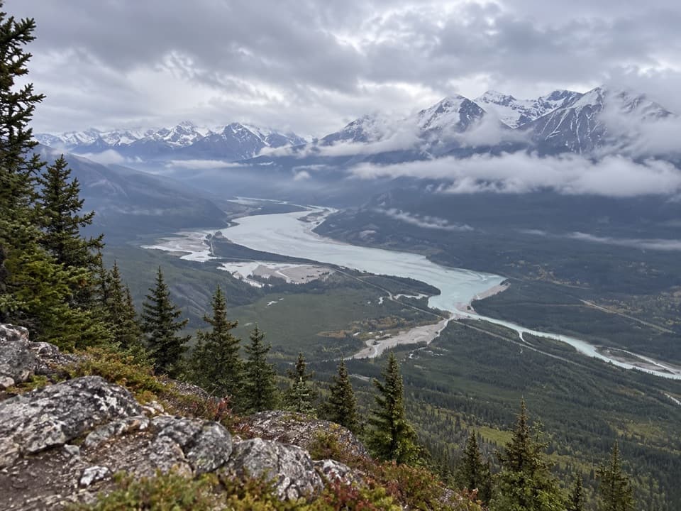
The Athabasca slows here, leaving wide sand flats below the ranges.

Type
Sight
Nearest trail
4.6 km
Audio stories
3 nearby
  • Pullout
  • Scenic viewpoint
  • #22 of 51 sights

Hear the audio tour

Jasper Lake: Sand Flats and Dune Islands
Download Parkwolf on the App StoreGet Parkwolf on Google Play

4.7 from 8,600+ ratings

Overview

About Jasper Lake

Why stop

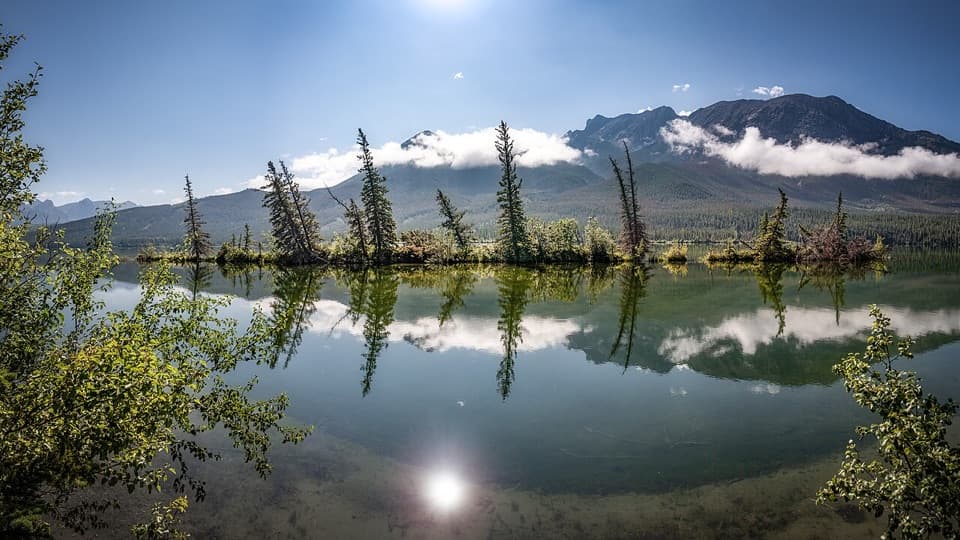
  • Two dune islands and pale sand flats meet a broad mountain valley.

Heads up

  • The exact shore access and parking are hard to pin down.

Map

Where it is

Loading the Jasper map
Full map
SightJasper Lake53.08973, -118.01742
Keep this map with you offline in the Parkwolf app

Plan your stop

Before you go

4 active Jasper alerts

  • ClosureCavell Road and Maligne Canyon closedCavell Road and Maligne Canyon are closed; do not plan access to these areas. - Loss of trees and vegetation on exposed high-angle slopes increases the risk of debris flows and landslides.Official details
  • Caution93A construction restricts cyclistsConstruction on Highway 93A between the north end of 93N and Marmot Road maintains single-lane vehicle access and prohibits cyclists from November 2026 through spring 2027.Official details

See all 4 alerts
A park ranger sits on a dash-mounted phone, talking, as Parkwolf’s Tour Guide plays “Army Cutworm Moths: A Grizzly Bear Buffet” on Grand Loop Road below Dunraven Pass in Yellowstone
Parkwolf Tour GuideThe highest, rockiest slopes around here are a summer buffet for grizzly bears.

Jasper Tour Guide

Your drive to Jasper Lake, narrated.

Parkwolf is a GPS audio tour guide for Jasper National Park. As you drive, it chimes in with what’s ahead: hidden gems, upcoming stops, history, geology, and wildlife, right through your car’s speakers.

See the Jasper audio tour

Recorded for this place

Jasper Lake: Sand Flats and Dune Islands
0:00 / 0:29
“You're approaching the Jasper Lake area, where the Athabasca River spreads into a broad, shallow lake beneath the mountains.”

Plays as you drive up to Jasper Lake in the Parkwolf Jasper Tour Guide.

More stories near here in the app

  • A Snake Robot on Athabasca Glacier
  • Talbot Lake: Shore Break or Planned Paddle
  • The Woodpecker’s Rectangular Clue
  • When Railway Grades Became a Highway
  • 170 audio storiesacross Jasper’s roads, triggered by GPS as you drive
  • Wildlife heatmapsfor Grizzly Bear, Caribou, Gray Wolf, and 13 more
  • Works offlinemaps, 74 trails, 189 places, and audio download before you lose signal
  • CarPlay readysimple controls built for the drive
★★★★★
“Fantastic app with many points of information… It’s great to just turn on while you’re driving and it gives you an audio tour of the national Park. We love it!!!!”
JMJamesApp Store review
Download Parkwolf on the App StoreGet Parkwolf on Google Play

4.7 from 8,600+ ratings

Guide

More about Jasper Lake

A roadside lake stopJasper Lake is a broad, shallow widening of the Athabasca River about 24 km northeast of…

Jasper Lake is a broad, shallow widening of the Athabasca River about 24 km northeast of Jasper, alongside Highway 16. The payoff is open water, pale sand flats and a long mountain backdrop, making it a short scenic pause on the drive. The exact shore approach and formal parking are hard to pin down, so use only an obvious legal pullout and do not follow unmarked tracks toward the railway or dune islands.

How the dunes formedWhen water drops in fall, sand flats emerge.

When water drops in fall, sand flats emerge. The lake slows the river enough for sand and silt to settle; dry westerly winds then push the material down the Athabasca Valley into two dune islands near the northwest shore. Spruce and balsam poplar grow in sheltered parts, with grasses, rose bushes and willows taking hold in the shifting sand.

Shallow water and a good frameThe nearshore is often shallow over sand, though water level changes and the water can be cold.

The nearshore is often shallow over sand, though water level changes and the water can be cold. Frame the pale shore in the foreground with the lake and mountain ranges beyond it; lower fall water exposes more sand. Treat the shore as a brief look and wade only where access is clearly open.

Road and railway across the valleyHighway 16 follows the southeast side of the lake, while the CN railway skirts the northwest.

Highway 16 follows the southeast side of the lake, while the CN railway skirts the northwest. Causeways along the highway separated Edna and Talbot lakes; railway causeways created ponds on the opposite shore. The road, tracks and shallow water together explain the broad, broken pattern of lakes and channels across this part of the valley.

Wildlife

Wildlife in Jasper

All Jasper wildlife maps

Sighting maps show where each species has been reported across Jasper. Wildlife moves, so no sighting is guaranteed.

Parkwolf’s Jasper ranking

Top sights in Jasper

All 189 places
  1. 1Maligne LakeSight
  2. 2Spirit IslandSight
  3. 3Athabasca GlacierSight
  4. 4Athabasca FallsSight
  5. 5Sunwapta FallsSight
  6. 6Mount Edith CavellSight

Take Parkwolf to Jasper.

The audio tour guide for the drive, plus offline maps, trails, and wildlife heatmaps for when the signal drops.

4.7 from 8,600+ ratings

Download Parkwolf on the App StoreGet Parkwolf on Google Play