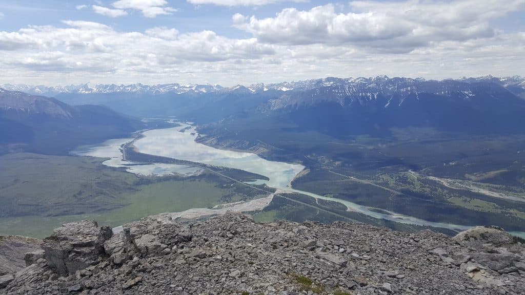
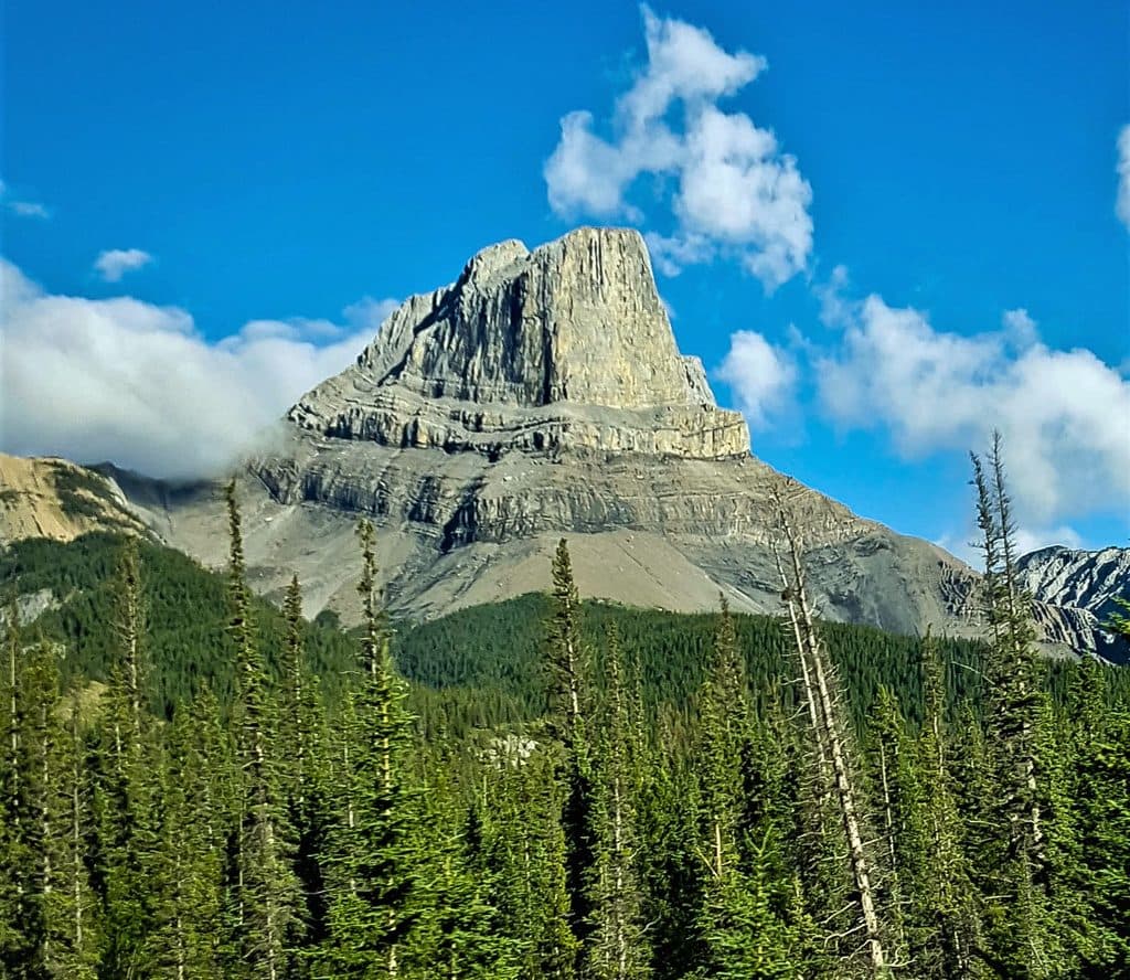
The North Boundary Trail is a point-to-point wilderness traverse of about 107.5 miles (173 km) one way, starting at the Celestine Lake trailhead and ending at the Mount Robson Provincial Park access near the Robson River bridge. Most parties need 7–10 days and a carefully arranged shuttle. The route follows old road and single-track through the Snake Indian and Smoky River valleys, climbs to Snake Indian Pass, passes Twintree Lake and Adolphus Lake, crosses Robson Pass, and continues down the Berg Lake approach to the Mount Robson end.
This is a remote, advanced backcountry route. Much of the interior can be several days from a road, camps are basic, and there is no practical resupply. Expect overgrown or difficult-to-follow sections, muddy tread, long days carrying a full pack, and stretches where route-finding matters more than speed. The listed distance is one way for the Celestine-to-Mount-Robson traverse; it is not a round trip.
The route’s rewards are quiet alpine meadows, broad glacial valleys, the headwaters of the Snake Indian and Smoky Rivers, and the dramatic transition through Snake Indian Pass and Robson Pass. A short side trip to Welbourne Falls is a worthwhile addition when it fits the itinerary. Wildlife is abundant in this country, including bears, moose, wolves, and caribou, so carry appropriate bear-safety equipment and know how to use it.
Several major creeks and rivers are unbridged. High water can make a ford dangerous or impossible, and conditions can change the character of the route. Overnight travel requires a backcountry camping permit; camps in Mount Robson Provincial Park require the appropriate provincial reservation. Dogs may be allowed on the trail, but they are not permitted to stay overnight at the backcountry camps. Travel later in the season when water levels are more likely to be manageable, and build extra time into a seven-to-ten-day wilderness itinerary.