Moderate

Yurmikmik Lookout Walk

Short climb to big southern Kakadu views through monsoon forest
Yurmikmik Lookout Walk, Kakadu National Park
Distance3.1 mi
Typical time2 hr
DifficultyModerate
PetsNot allowed

Why hike it

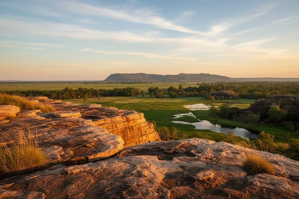
If you want a big‑view payoff without committing to a long day, this is your move. The Yurmikmik Lookout Walk is a moderate out‑and‑back that climbs through monsoon forest and open woodland to a rocky high point with sweeping views over the South Alligator catchment, the southern hills and ridges of Kakadu, and Jawoyn country. It’s 5 km (3.1 miles) total, return.

The experience

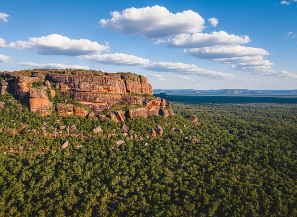
From a small signed carpark, the track heads into shady monsoon forest before rising onto a stony ridge. Expect marked trail the whole way with some uneven footing and short rock‑clambering sections near the top. As you gain height, the country opens up: tall spear grasses, scattered woodland, and striking rocky outcrops typical of Kakadu’s southern hill country. The lookout rewards the climb with broad vistas, including the Marrawal Plateau and, to the northwest, the distinctive Bornluk sandstone hill. On the way, keep an eye out for large sandstone and conglomerate boulders—pebbly slabs laid down by ancient flood events.

Nature to watch for

In the dry, fragrant gardenia flowers dot the corridor. Birdlife can be excellent: listen and look for banded fruit doves, spangled drongos, and sulphur‑crested cockatoos; wallaroos sometimes browse the open slopes.

Difficulty and footing

It’s a straightforward, signed walk but not a groomed path: expect loose stones, uneven rock, and a steady climb (about 91 m/299 ft total ascent). Sturdy footwear pays off, and trekking poles can help on the descent.

Logistics and facilities

Trailhead access is via a small carpark off Gimbat Road with clear signage. There’s an Emergency Call Device at the carpark. No toilets—plan accordingly. This is a hike‑only track; swimming isn’t part of this one, and nearby waterways are crocodile habitat—do not approach or enter.

Best time to go

You’ll get the most comfortable walking and clearer footing in the dry and shoulder seasons. If you can handle heat, humidity, and potentially slippery rock, the wet/monsoon season can be spectacular—lush forest, running creeks, and vibrant country. This route often remains accessible even when the South Alligator River is flooded elsewhere in the park.

Tips

  • Start early for shade and wildlife.
  • Carry plenty of water; there are no facilities on the track.
  • Wear shoes with good grip for the rocky sections and follow the official markers, especially near boulders and any seasonal creek crossings.

Pros

  • Panoramic southern Kakadu views without a full‑day commitment
  • Often accessible even when the South Alligator is flooded elsewhere
  • Geology on show: sandstone ridges and ancient flood‑laid conglomerates

Cons

  • No toilets at the trailhead
  • Limited shade on the upper ridge—hot outside early hours
  • No swimming here, unlike nearby Motor Car Falls

Parking

Small signed carpark off Gimbat Road; Emergency Call Device onsite; no toilets.

Caution

Hot and exposed on upper slopes; uneven rocky footing with short rock scrambles; slippery after rain; seasonal creek crossings; crocodile habitat—no swimming; carry ample water and follow markers.

The Parkwolf tour guide sitting on a phone mounted in a car

Parkwolf Tour Guide

Like a tour guide in your car.

Bring Kakadu trail research into the car, with offline maps and stories that play as you drive.Download Parkwolf on the App Store