Parking
Start at Joffre Falls carpark. Picnic tables and shelters are at the carpark; the route follows part of the Joffre Waterfall approach before continuing along the rim.
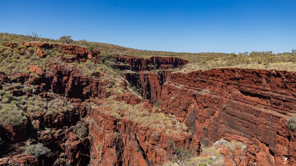
Karijini National Park, WA
A rough rim walk trades the falls descent for downstream gorge views.
Overview
Map & elevation
Plan your hike

The highest, rockiest slopes around here are a summer buffet for grizzly bears.
Karijini Tour Guide
Parkwolf is a GPS audio tour guide for Karijini National Park. As you drive, it chimes in with what’s ahead: hidden gems, upcoming stops, history, geology, and wildlife, right through your car’s speakers.
See the Karijini audio tourRecorded for this trailhead
Joffre Falls and Lookout“Up ahead is Joffre Gorge, where a curved red cliff wraps around a dark pool like an amphitheatre. I’d choose the lookout for a short stop: allow about twenty minutes return on an uneven path with rock steps.”
Plays as you drive up to this trailhead in the Parkwolf Karijini Tour Guide.
More stories near here in the app
“Fantastic app with many points of information… It’s great to just turn on while you’re driving and it gives you an audio tour of the national Park. We love it!!!!”


Trail guide
Joffre View is a rough out-and-back above Joffre Gorge. It follows the opening part of the Joffre Waterfall Trail, then continues along the rim instead of taking the difficult descent to the gorge floor. The walk is listed at 1.3 km return and about 1.5 hours; its Class 4 rating is for experienced hikers, not a quick paved lookout stroll.
The named path on the map measures about 780 m one way, which would make the out-and-back closer to 1.6 km. The written route does not identify a signed turnaround, so the total distance remains uncertain; leave room for a longer walk. The stored route follows the mapped rim path to its Joffre Avenue junction and returns the same way.
The shared approach reaches a lookout over Joffre Falls, whose curved cliff forms a natural amphitheatre. Water can run down the step-like rock after rain; the rim continuation adds elevated views farther along the gorge without the Class 5 descent to the pool. From the rim, include both red walls and the dark cleft between them to show the gorge's depth.
Start at Joffre Falls carpark, where picnic tables and shelters are reported. Expect rough, uneven ground and use the lookout platform from behind its barriers. Karijini's summer heat can exceed 40°C. Pets are not permitted in WA parks, apart from assistance animals.
Wildlife
 44 sightingsDingoMost seen around 6 PMSighting map
 18 sightingsRock WallabyMost seen around 6 AMSighting map
 15 sightingsMulga SnakeMost seen around 7 PMSighting map
 36 sightingsHamersley Rock MonitorMost seen around 9 AMSighting map
 13 sightingsWestern BowerbirdMost seen around 7 AMSighting map
 34 sightingsChildren's PythonMost seen around 8 PMSighting map
Sighting maps show where each species has been reported across Karijini. Wildlife moves, so no sighting is guaranteed.
Keep exploring
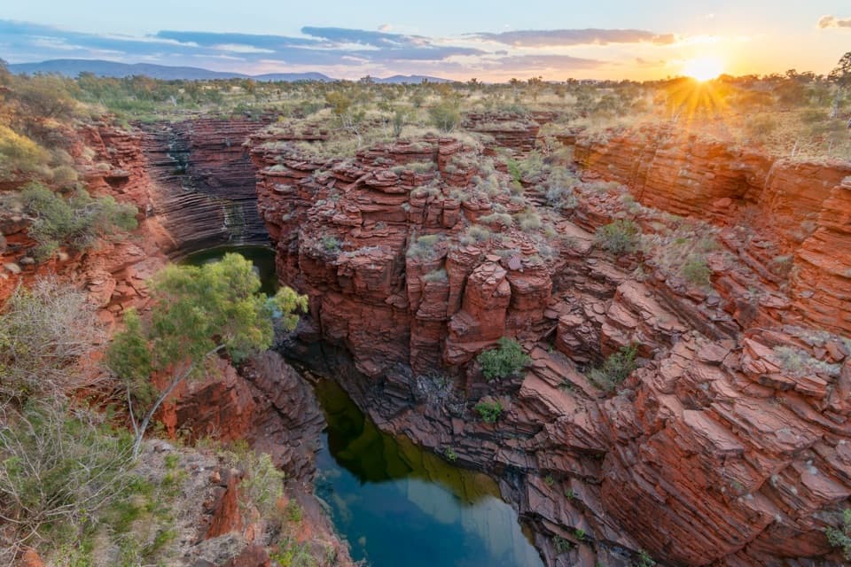 ChallengingJoffre Waterfall Trail1.5 km · 2 hr · At the trailheadA steep, rough descent to Karijini’s curved waterfall basin.ModerateJoffre Lookout Trail0.2 km · 20 min · At the trailheadA short stairway down to Joffre Gorge’s curved amphitheatre.
 EasyKnox Gorge Lookout Walk0.3 km · 15 min · 3.5 km awayA short stepped walk to the gorge where Knox meets Wittenoom.
 ChallengingKnox Gorge Trail2 km · 3 hr · 3.6 km awayA short, steep scramble to the red-rock gorge floor.
 ChallengingBilungunha (Hancock Gorge), Kermits Pool1.5 km · 2 hr · 4.2 km awayA short, serious gorge scramble to the Spider Walk and Kermits Pool.
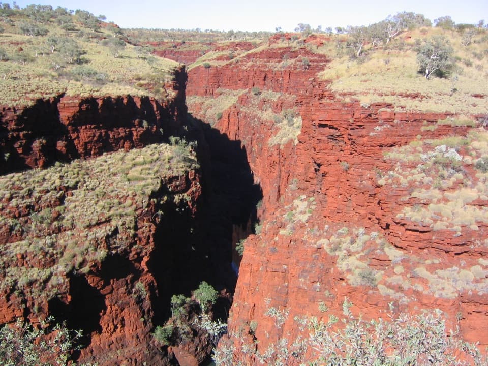 ModerateOxer Lookout Trail1.4 km · 39 min · 4.2 km awayA short plateau walk ends where four gorges meet.
 ChallengingUpper Weano Gorge1.6 km · 45 min · 4.2 km awayA short Class 4 loop to a cold gorge pool.
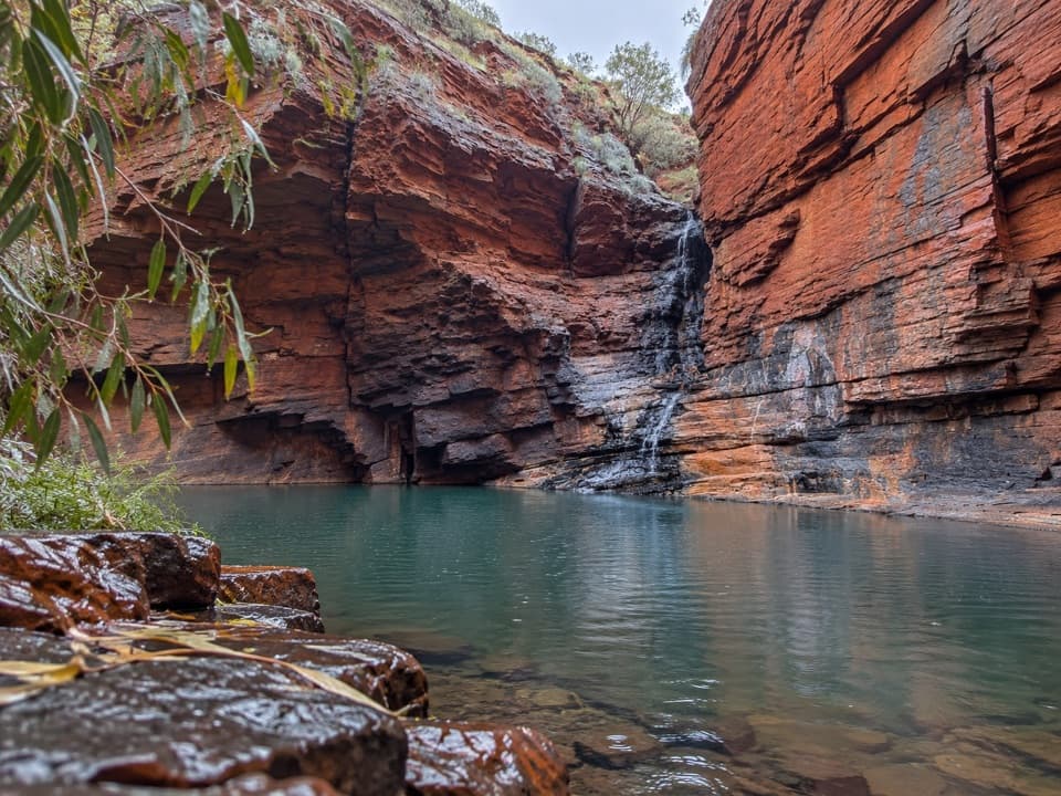 ChallengingLower Weano Gorge, Handrail Pool1.2 km · 1.5 hr · 4.2 km awayA short walk into a wet, hands-on gorge scramble.Sight · 0.1 km awayJoffre FallsA red-rock amphitheatre worth the rough walk in.Sight · 0.1 km awayJoffre Falls LookoutA short rim walk above a curved gorge and dark pool.
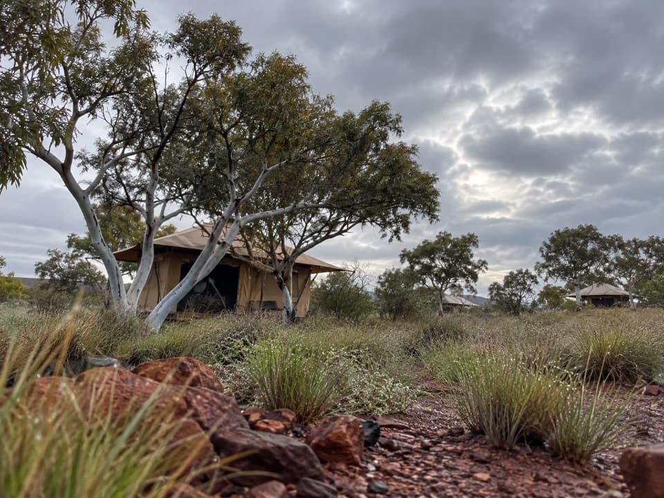 Lodging · 0.7 km awayKarijini Eco RetreatStay within walking distance of Joffre Gorge in tents, cabins or campsites.
 Restaurant · 0.7 km awayKarijini Outback RestaurantAn open-air restaurant and bar inside Karijini National Park.
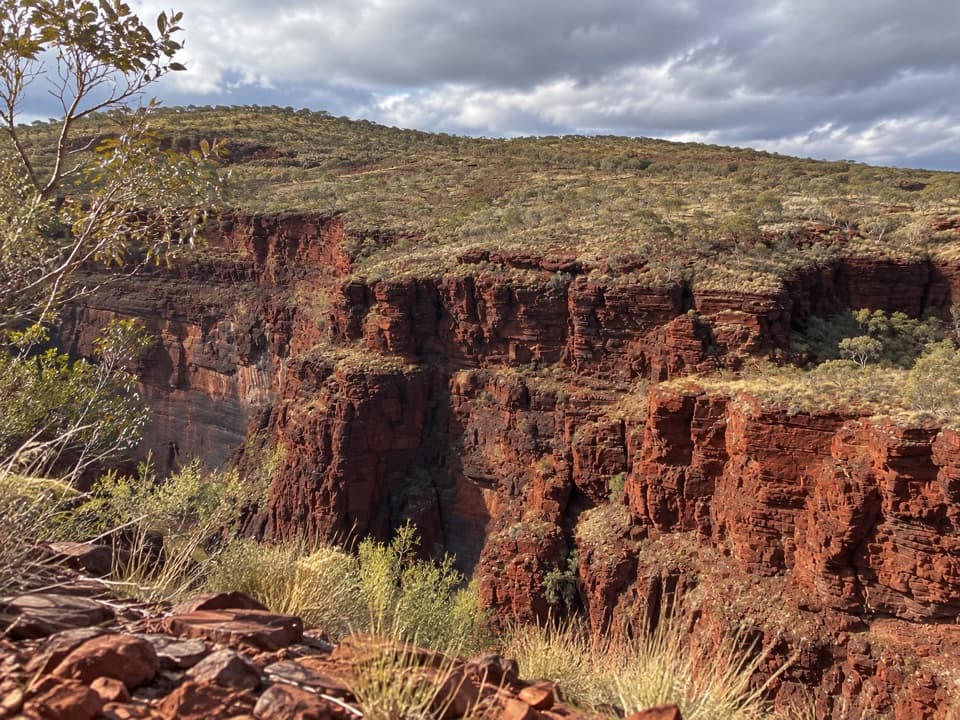 Sight · 3.7 km awayKnox LookoutAn easy, accessible rim walk gives you Knox Gorge from above.
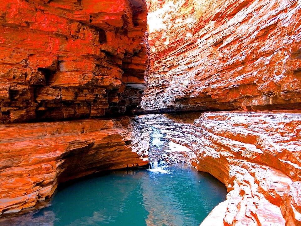 Sight · 3.9 km awayKermit's PoolA Class 5 scramble earns a pool view deep in Hancock Gorge.
 Sight · 3.9 km awayJunction Pool LookoutOne short walk for high views into Hancock Gorge and Junction PoolSight · 4 km awayOxer LookoutFour gorge heads meet beneath a hundred-metre iron-red drop.
Parkwolf’s Karijini ranking

The audio tour guide for the drive, plus offline maps, trails, and wildlife heatmaps for when the signal drops.


