Parking
Start at Joffre Falls car park, shared with the nearby lookout walks. Park entry fees apply.
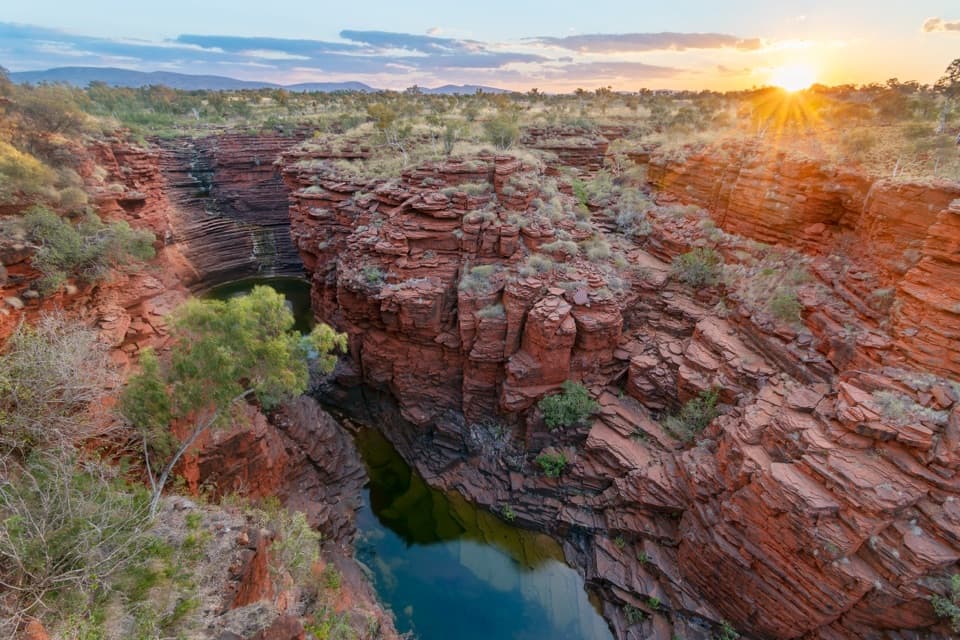
#7 of 22 trails in Karijini
Karijini National Park, WA
A steep, rough descent to Karijini’s curved waterfall basin.
Overview
Joffre Waterfall Trail is a short but extreme out-and-back from Joffre Falls car park into Jijingunha (Joffre Gorge), ending at the first pool below the waterfall. Plan on about 1.5 km (0.9 mi) return and two hours. The distance sounds easy; the Class 5 descent is the commitment. It is for very experienced hikers who are steady on steep, rough rock and comfortable with an exposed scramble. If you only want to see the curved falls, the separate Joffre Lookout walk is 240 m return and takes about 20 minutes. Joffre View shares the falls trail briefly, then continues along the rim; choose that route only if you are not intending to enter the gorge.
 Parkwolf’s verdictIs this the descent for you?
Map & elevation
Plan your hike

The highest, rockiest slopes around here are a summer buffet for grizzly bears.
Karijini Tour Guide
Parkwolf is a GPS audio tour guide for Karijini National Park. As you drive, it chimes in with what’s ahead: hidden gems, upcoming stops, history, geology, and wildlife, right through your car’s speakers.
See the Karijini audio tourRecorded for this trailhead
Joffre Falls and Lookout“Up ahead is Joffre Gorge, where a curved red cliff wraps around a dark pool like an amphitheatre. I’d choose the lookout for a short stop: allow about twenty minutes return on an uneven path with rock steps.”
Plays as you drive up to this trailhead in the Parkwolf Karijini Tour Guide.
More stories near here in the app
“Fantastic app with many points of information… It’s great to just turn on while you’re driving and it gives you an audio tour of the national Park. We love it!!!!”


Trail guide
From the car park the line crosses Joffre Creek and then steepens into rough, unformed ground. The route start can blend into spinifex, so look for the marked descent instead of assuming the metal lookout platform is the beginning of the falls trail. This is not a stairway down to a pool: there are short flights of steps with handrails, but long stretches on uneven ledges and rough rock need careful foot placement. The high hiking grade is about terrain and exposure, not mileage. Expect to work slowly both down and back up.
Do not continue if Joffre Creek is flowing strongly. Flash floods can occur in Karijini’s gorges: stay out when rain is in the area, and leave immediately if it starts while you are in the gorge. Summer temperatures can top 40°C, while gorge pools can be extremely cold, especially from April to September. Some visitors wade through cold water to reach the basin, so bring footwear and clothes you are willing to get wet. Wet rock is slippery; do not scramble onto ledges for a better view. The walls rise sharply, and loose stones near cliff edges make the approach feel more serious than the short distance suggests.
At the bottom, the curved red-rock amphitheatre closes around a dark pool. Water falls over a step-shaped wall and then runs through a narrower channel over smooth black rock. Flow changes with rainfall; the falls can be much stronger after rain, but never trade flood safety for a fuller waterfall. Even with less water, the banded cliffs and the pool are the reason to make the descent. From the lookout, a wide frame keeps the curved wall and basin together; down by the pool, include a ledge or a person for scale without getting onto wet rock.
Jijingunha is the Banyjima name for Joffre Gorge. The gorge cuts through the Hamersley Range’s banded iron formations, made from iron- and silica-rich material laid down on an ancient sea floor more than 2.5 billion years ago, then changed by pressure. Water did the more recent carving: look at the stair-step cliff and smooth dark channel at the falls. The layers are easiest to see from above, while the gorge floor gives you the close view of the rock and the cold water that shaped it.
Wildlife
 44 sightingsDingoMost seen around 6 PMSighting map
 18 sightingsRock WallabyMost seen around 6 AMSighting map
 15 sightingsMulga SnakeMost seen around 7 PMSighting map
 36 sightingsHamersley Rock MonitorMost seen around 9 AMSighting map
 13 sightingsWestern BowerbirdMost seen around 7 AMSighting map
 34 sightingsChildren's PythonMost seen around 8 PMSighting map
Sighting maps show where each species has been reported across Karijini. Wildlife moves, so no sighting is guaranteed.
Keep exploring
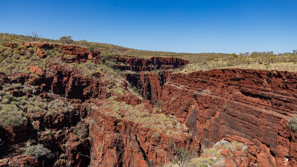 ModerateJoffre View Trail1.3 km · 1.5 hr · At the trailheadA rough rim walk trades the falls descent for downstream gorge views.ModerateJoffre Lookout Trail0.2 km · 20 min · At the trailheadA short stairway down to Joffre Gorge’s curved amphitheatre.
 EasyKnox Gorge Lookout Walk0.3 km · 15 min · 3.5 km awayA short stepped walk to the gorge where Knox meets Wittenoom.
 ChallengingKnox Gorge Trail2 km · 3 hr · 3.6 km awayA short, steep scramble to the red-rock gorge floor.
 ChallengingBilungunha (Hancock Gorge), Kermits Pool1.5 km · 2 hr · 4.2 km awayA short, serious gorge scramble to the Spider Walk and Kermits Pool.
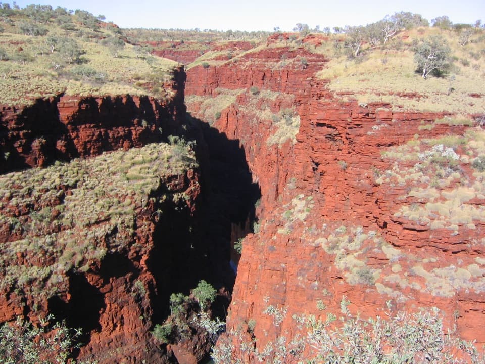 ModerateOxer Lookout Trail1.4 km · 39 min · 4.2 km awayA short plateau walk ends where four gorges meet.
 ChallengingUpper Weano Gorge1.6 km · 45 min · 4.2 km awayA short Class 4 loop to a cold gorge pool.
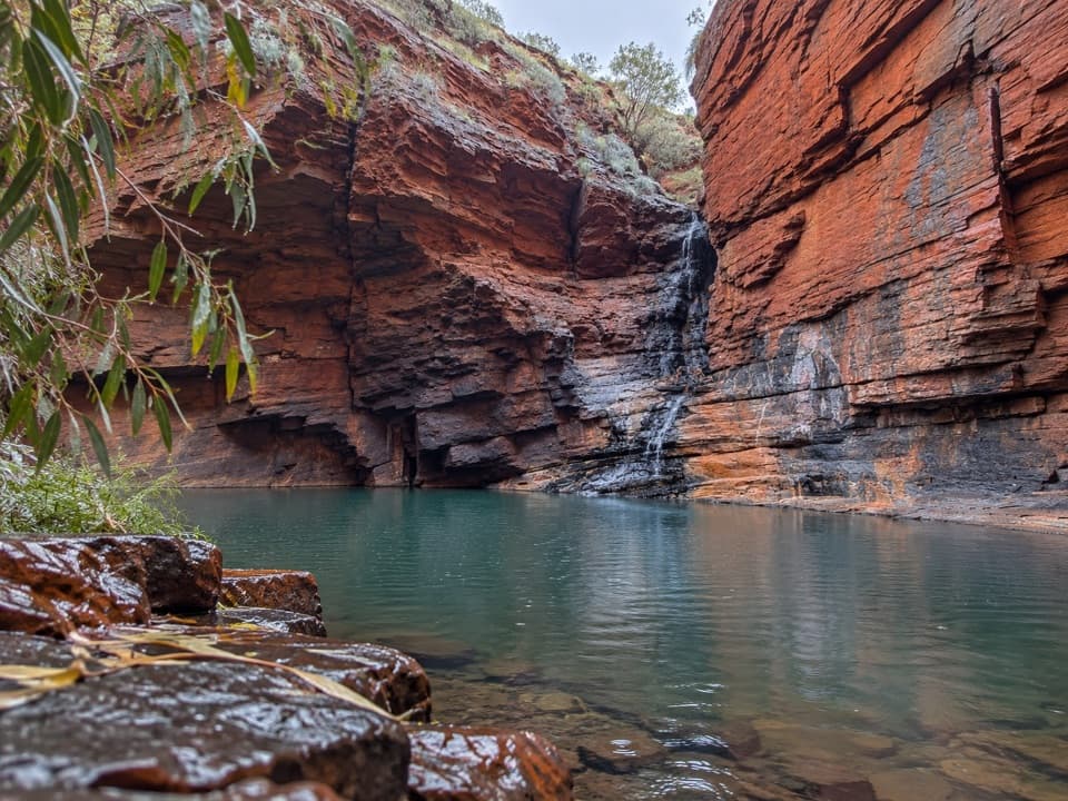 ChallengingLower Weano Gorge, Handrail Pool1.2 km · 1.5 hr · 4.2 km awayA short walk into a wet, hands-on gorge scramble.Sight · 0.1 km awayJoffre FallsA red-rock amphitheatre worth the rough walk in.Sight · 0.1 km awayJoffre Falls LookoutA short rim walk above a curved gorge and dark pool.
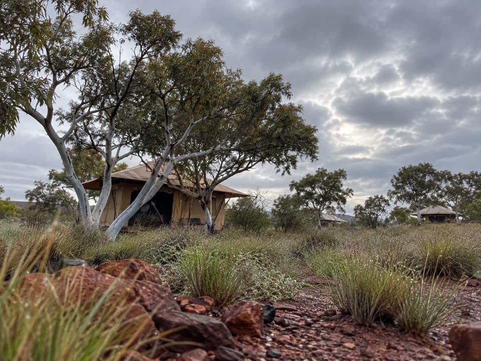 Lodging · 0.7 km awayKarijini Eco RetreatStay within walking distance of Joffre Gorge in tents, cabins or campsites.
 Restaurant · 0.7 km awayKarijini Outback RestaurantAn open-air restaurant and bar inside Karijini National Park.
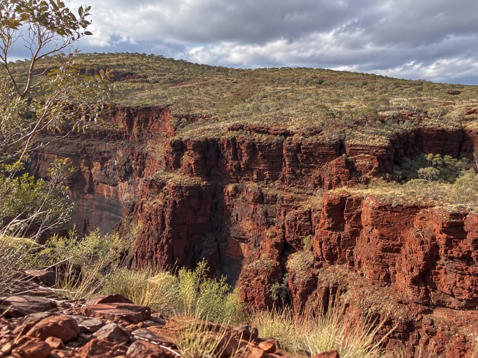 Sight · 3.7 km awayKnox LookoutAn easy, accessible rim walk gives you Knox Gorge from above.
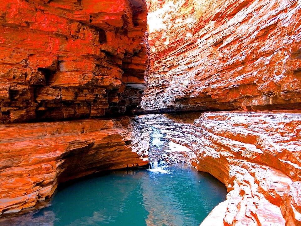 Sight · 3.9 km awayKermit's PoolA Class 5 scramble earns a pool view deep in Hancock Gorge.
 Sight · 3.9 km awayJunction Pool LookoutOne short walk for high views into Hancock Gorge and Junction PoolSight · 4 km awayOxer LookoutFour gorge heads meet beneath a hundred-metre iron-red drop.
Parkwolf’s Karijini ranking
The audio tour guide for the drive, plus offline maps, trails, and wildlife heatmaps for when the signal drops.


