Pros & cons
PROS
- Striking ash-carved gorges and milky, sediment-rich water
- True Valley of Ten Thousand Smokes backcountry experience away from crowds
CONS
- No amenities or road access; you get there via Brooks Camp shuttle
- Very limited safe fords; opaque, fast water makes crossings risky
- Late-season potable water can be scarce and sediment clogs filters
Overview
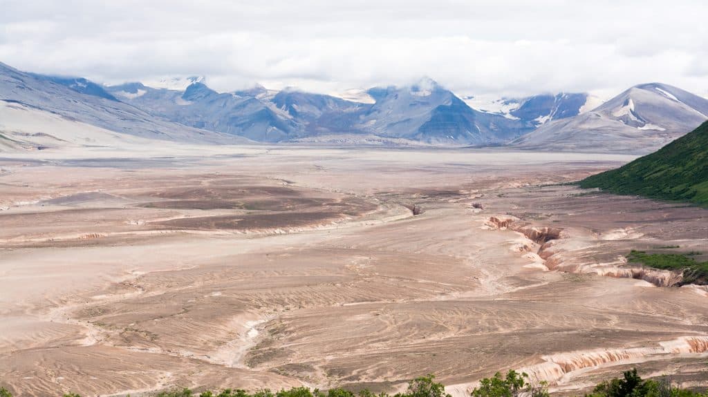
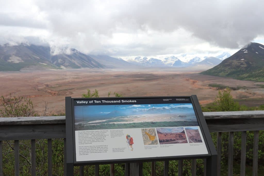
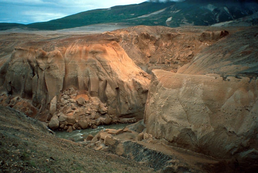
River Lethe slices across the floor of the Valley of Ten Thousand Smokes, its milky flow carving steep, ash-cut banks left by the 1912 Novarupta eruption. It’s raw, remote, and beautiful—best suited to experienced backcountry travelers who want the Valley at ground level, not from a pullout.
What You'll See
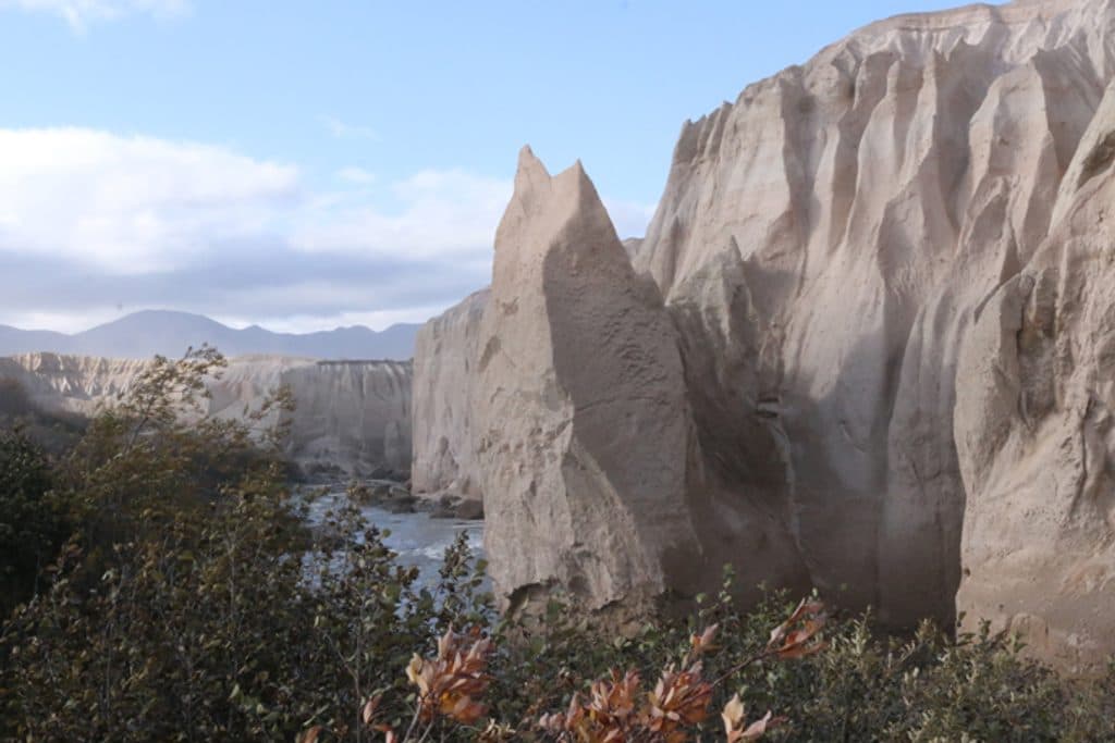
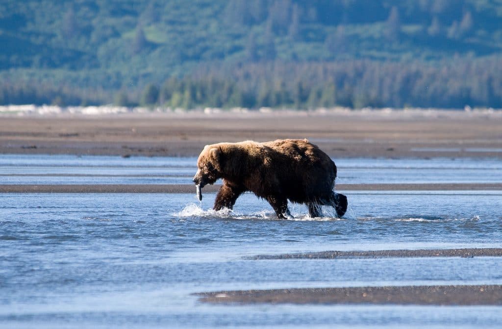
Expect an opaque, sediment-laden channel and cliffy ash terraces that make the river look deceptively tame from afar. On the valley’s margins (especially along the Buttress Range) you may spot brown bears, ground squirrels, and ptarmigan; even caribou have been noted along these routes. Novarupta—the eruption’s lava dome—still vents warm steam and is a prime objective for multi-day parties.
Getting There
Most visitors reach the Valley via the concessioner shuttle from Brooks Camp to the Windy Creek trailhead and Robert F. Griggs Visitor Center area. You can arrange drop-off and pick-up on the ranger-guided Valley of Ten Thousand Smokes tour shuttle. Distances are big out here: Novarupta sits roughly 14 miles from Windy Creek, and many parties parallel or intersect the Lethe en route to Novarupta, the Knife Creek Glaciers, or Katmai Pass.
Safety: River Crossings
Treat the Lethe with caution. It can only be forded in a few places. If you don’t find a safe crossing, wait—sometimes a day or more—for lower flows. Cross early in the morning when glacial runoff is lowest, choose spots with small ripples (not waves), and watch for hidden cutbanks and slots masked by silty water. Standard practice here: unbuckle your hip belt, loosen shoulder straps, wear shoes, use a pole, and always keep a retreat option.
Water, Camping, and Logistics
By August, reliable drinking water can be scarce in the central Valley. High sediment loads clog filters fast—plan extra capacity and techniques (settling, chemical treatment, backup filters). Better water often comes from seeps, springs, or snowmelt along the valley margins. Bear-resistant containers are required (available at King Salmon and Brooks Camp). No permit is required, but the park encourages submitting a Backcountry Trip Planner. Note that the Baked Mountain Huts were destroyed in 2018 and are unsafe.
Amenities (or lack thereof)
There are no developed facilities at the River Lethe—no restrooms, picnic tables, parking, or campground. The nearest facilities are at the Robert F. Griggs Visitor Center (pit toilets and an emergency shelter). The shuttle tour sometimes includes a guided hike to the valley floor near the Ukak River area, but don’t count on services at the Lethe itself.
Best Time to Visit
Aim for the bus-access window from Brooks Camp if you’re not chartering. For safer fords, early mornings are best. Late summer can mean easier travel on dry ash but trickier water logistics (scarce clear sources). For weather, expect cool, changeable conditions typical of Katmai summers—pack layers and rain gear.

Where it is
58.3956, -155.4000Tips for River Lethe
- 01Use the Valley of Ten Thousand Smokes shuttle from Brooks Camp to access the Windy Creek trailhead or Griggs Visitor Center.
- 02Plan to ford early in the morning when runoff is lowest and look for small ripples, not waves.
- 03Unbuckle your hip belt, loosen shoulder straps, wear shoes, and use a pole for any crossing.
- 04Carry extra water treatment options—sediment will clog filters quickly; refill at seeps or snowmelt on valley margins when possible.
- 05Bear cans are required and available at King Salmon and Brooks Camp—pack and store food meticulously.
Near River Lethe
All places →All trails →
0.5 mi awayValley of Ten Thousand SmokesA vast ash-filled valley born from the 1912 Novarupta eruptionVisitor Center · Exhibit
1.1 mi awayUkak FallsBackcountry waterfall in the ash-lined Valley of Ten Thousand Smokes
2 mi awayRobert F. Griggs Visitor CenterRim-side stop with sweeping views into a surreal ash-filled valleyTrailhead · Scenic Viewpoint
5.4 mi awayMount KatolinatRemote, undeveloped peak you stage for from Brooks Camp
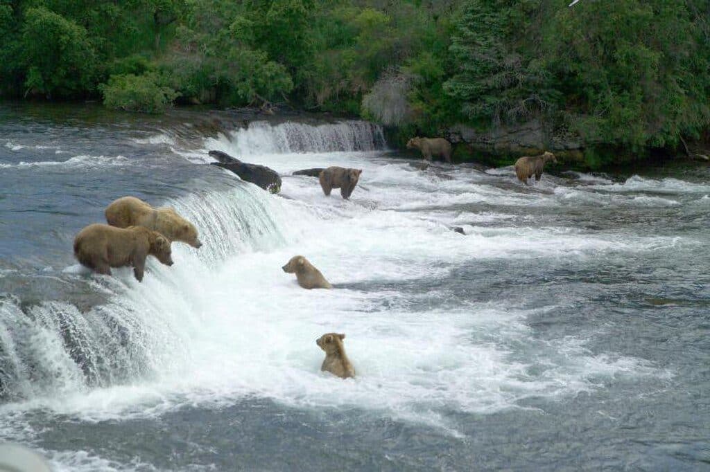
17.7 mi awayBrooks River Elevated BoardwalkElevated stroll to world-class bear viewing on the Brooks RiverEasy · 2.2 mi · 1 hr
Brooks Falls TrailShort, flat walk to world-class brown bear viewing platformsEasy · 1.2 mi · 30 min
Dumpling Mountain TrailBig Brooks Camp views, real tundra, and real bear countryChallenging · 8 mi · 5.3 hr
Cultural Site TrailA flat, 0.5-mile walk to a reconstructed Alutiiq home by Brooks River.Easy · 0.5 mi · 15 min