Place · 0.5 mi away

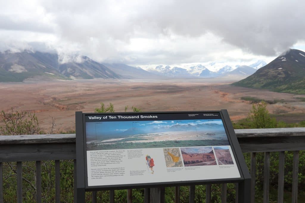
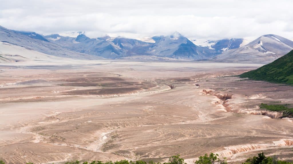
A surreal, ash-filled basin born from the 1912 Novarupta eruption—the largest of the 20th century—this valley is Katmai’s most otherworldly landscape. Thousands of fumaroles once steamed from its fresh deposits, giving the place its name. Today, the “smokes” have cooled, but the stark, barren expanse and deeply incised canyons still feel like stepping onto another planet.
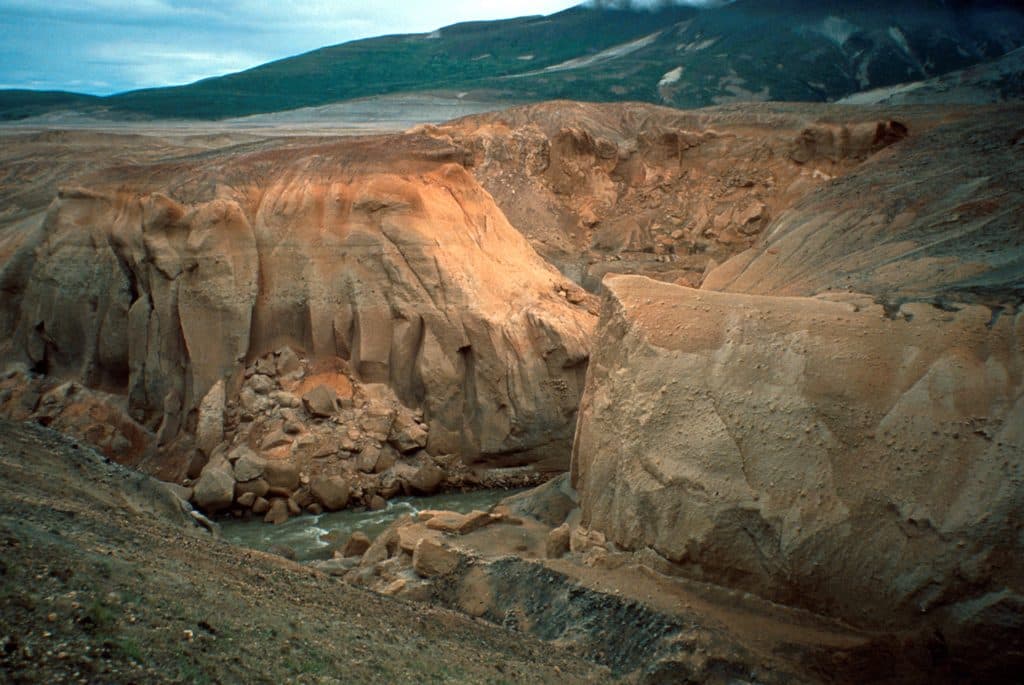
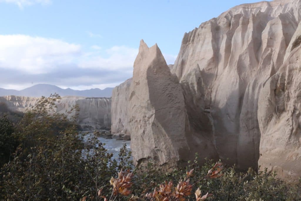
Expect a vast ash-flow plain carved into badlands by rivers like the Lethe, with layered ignimbrite and ash-fall deposits laid bare. The rim is green and lush; the floor is mostly lifeless—an arresting contrast that makes the overlook views and valley-floor hike memorable.
Most people reach it on the Valley of Ten Thousand Smokes bus tour from Brooks Camp, traveling 23 miles of gravel road to the Robert F. Griggs Visitor Center. From the overlook, an optional ranger-guided hike drops to the valley floor—about 3.4 miles round trip with roughly 1,000 feet of elevation change. It’s short but steep, and the footing on ash and pumice is no joke.
If you’re venturing deeper on foot, classic objectives include the Buttress Range alcoves (occasional water and camping spots), Katmai Pass and the Southwest Trident lava flows (with warm springs), the ash-mantled Knife Creek Glaciers, Mount Griggs (serious mountaineering terrain), the waterfall-ringed Mageik Lakes, and Novarupta itself—small in profile, huge in significance, and still faintly warm.
Services are essentially nil in the valley. Treat it like true backcountry: no food service, plan to pack in/out everything, and expect wind, dust, and loose footing. Trekking poles help for the steep descent/ascent, and protective eyewear is smart when the wind kicks up. Biting flies can show up on warm days—bring bug protection.
River crossings (especially the River Lethe and Knife Creek) can be hazardous—swift, silty, and deceptively deep with poor visibility. Cross only where it’s wide and shallow, never in canyons, and be willing to wait for safer conditions. By August, clear water can be scarce and many streams will clog filters; carry ample capacity and refill from perennial snowfields, seeps, or clearer side channels when you find them. Bear-resistant food containers are required; loaners are available at park visitor centers. The Baked Mountain Huts were destroyed in 2018—do not plan on any shelter. No permits are required, but submitting a Backcountry Trip Planner is encouraged.
Summer is your window. Go early in the day for cooler temps, steadier footing, and (if you’re backpacking) lower glacial runoff for any crossings. Midday light can be harsh on the pale ash—aim for morning or late afternoon from the rim for better photos. Tours are popular in peak season, so reserve early.

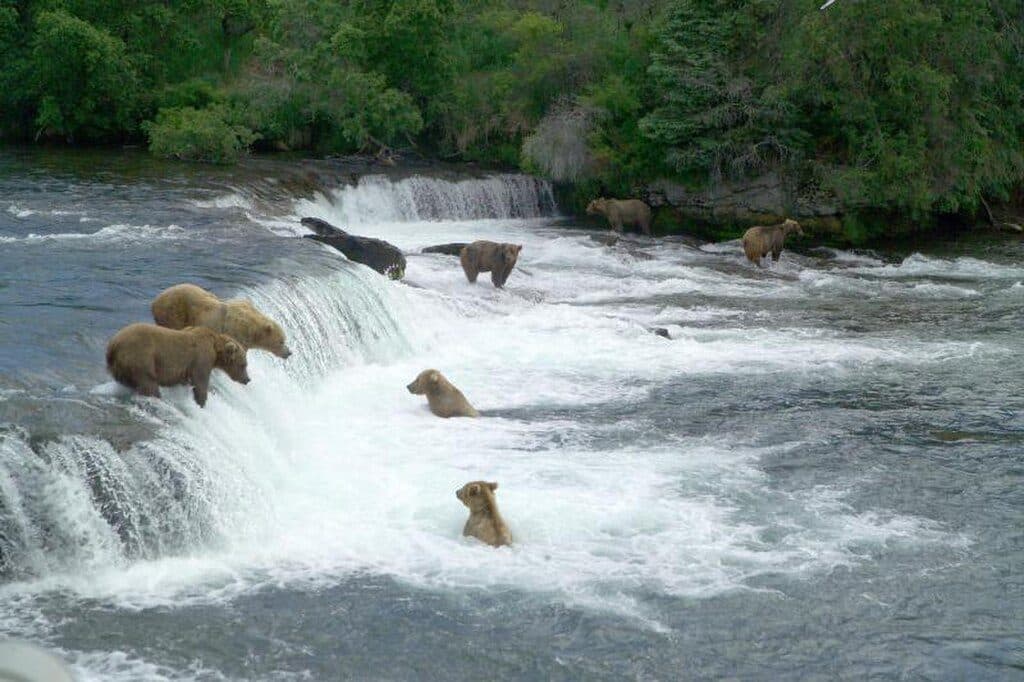
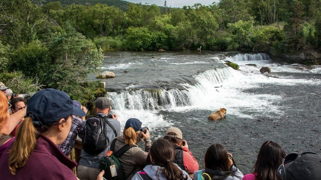
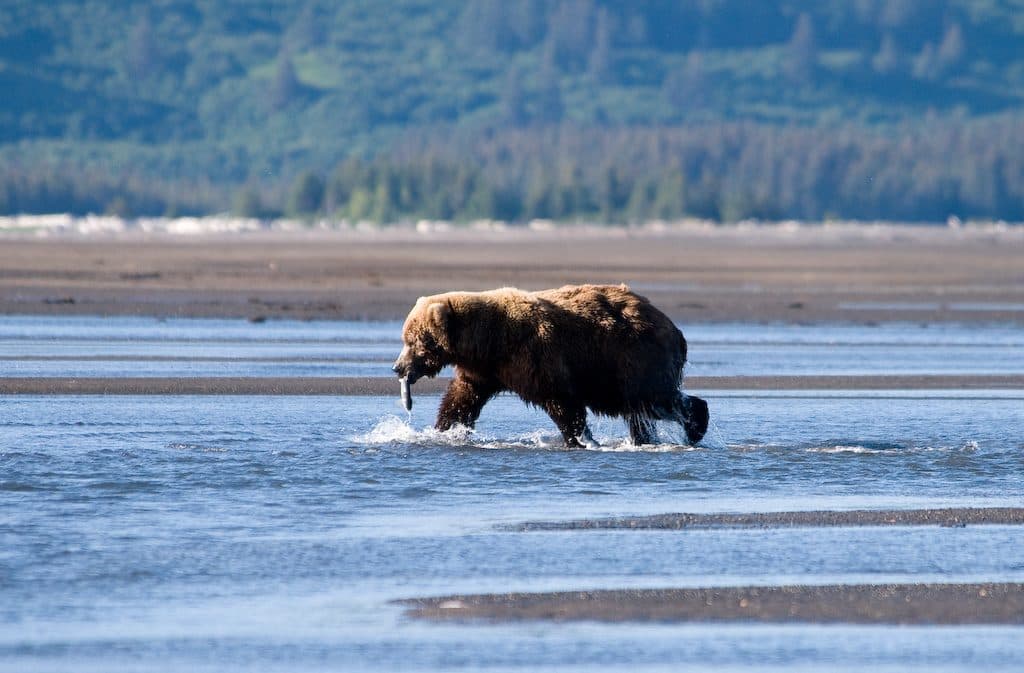
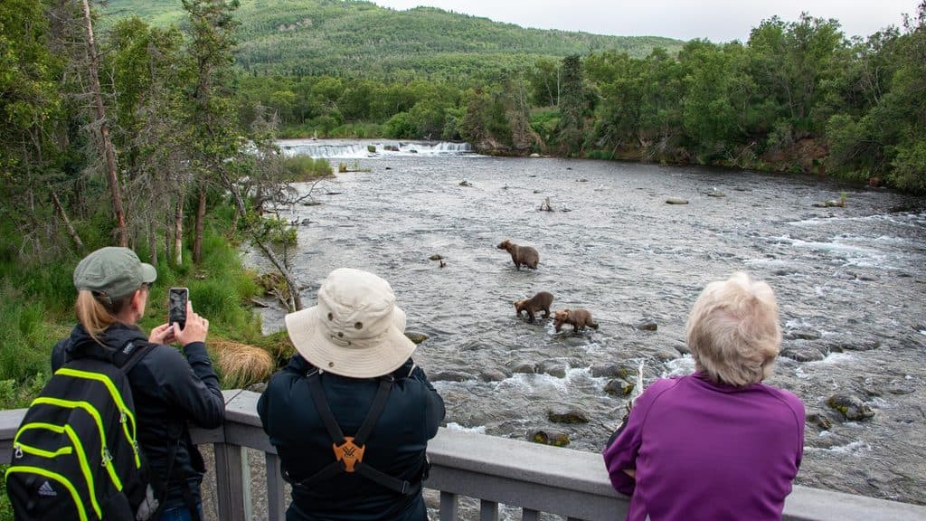
The valley floor itself is sparse, but you’re in prime brown bear country overall—especially around Brooks River. On the margins (like the Buttress Range) you may encounter wildlife; keep your distance and follow bear safety practices.
If you love geology, big landscapes, and feeling tiny, absolutely. It’s remote and demanding—but few places tell the story of a single eruption as powerfully as this one.