
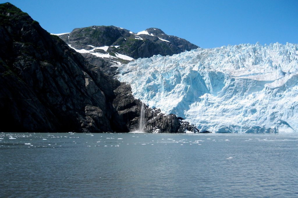
Place · 7.3 mi away
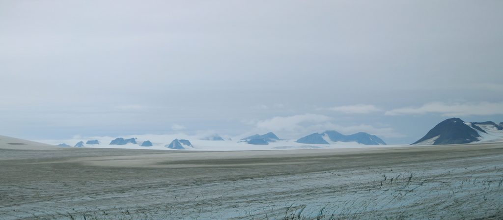
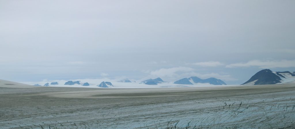
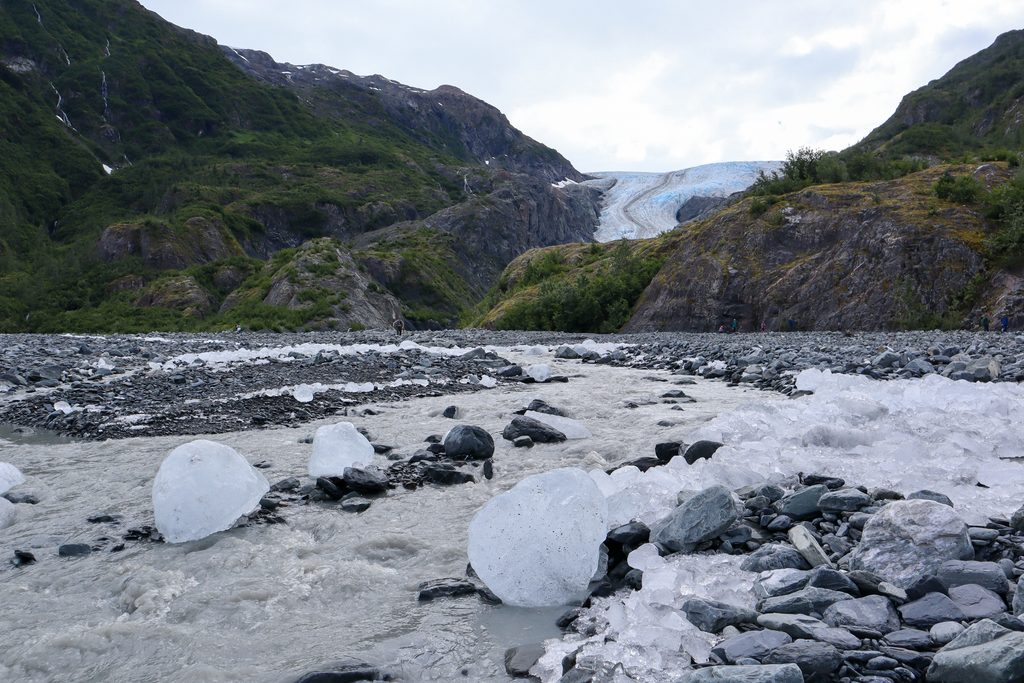
Harding Icefield is the park’s headline spectacle: a horizon-to-horizon sheet of ice that once blanketed much of Southcentral Alaska. Covering roughly 700 square miles and up to about 4,000 feet thick, it feeds more than 30 glaciers—including Exit Glacier, the one you’ll gaze down on as you climb. Think a bright, windswept white sea punctured by nunataks (rocky peaks poking through the ice) and you’re close.
From the overlook, the landscape is pure scale: glaciers extending for miles, crevasses, and the occasional mountaineer speck moving across the ice. Along the ascent you’ll pass cottonwood and alder forest, then heather meadows, and finally break above treeline to a “window to past ice ages”—that uninterrupted expanse of snow and ice.
The only practical way to experience it on foot is the Harding Icefield Trail, an out-and-back route starting at the Exit Glacier area. It’s a challenging climb that many people tackle in mid-summer. Expect steep grades and lingering snowfields well into July; start early so you’re not hiking up into clouds.
Marmots are often spotted near alpine meadows, mountain goats may appear on cliffs, and bears are possible along the trail. The quick transition from forest to alpine to icefield makes for varied habitat—keep your distance and give wildlife the right of way.
Weather flips fast here. Clear mornings can sock in by afternoon, and snow on the upper trail is common early season. The route is generally well-marked but becomes tricky when snow-covered; turn back if visibility deteriorates. Stay on the established path and don’t push beyond the official endpoint—avalanches and rockfall are real hazards.
Bring sturdy waterproof boots, warm layers, a waterproof shell, plenty of food and water, sunglasses and sunscreen (the icefield reflects hard), and trekking poles. Navigation tools are smart insurance when snow lingers. Check current trail conditions before you go.
This icefield is a living remnant of the Pleistocene ice sheets, still carving valleys and fjords through its many outflowing glaciers. It’s also changing: monitoring shows a measurable decline in surface area over recent decades, a visible marker of a warming climate.
There are no developed facilities at the icefield overlook—no restrooms, water, or tables. An emergency shelter marks the end of the trail. Services and parking are down at the Exit Glacier area, where the trail begins.
If you’re up for a demanding mountain hike, absolutely. Few places let you stare across a true icefield from solid ground, and the progression from temperate forest to arctic edge is unforgettable.
Place · 7.3 mi away
Place · 9.7 mi away
Place · 10.6 mi away
Place · 12.2 mi away
Challenging · 18.2 mi away
Easy · 18.2 mi away
Easy · 18.2 mi away
Easy · 18.2 mi away

Parkwolf Tour Guide
