
Place · 6.9 mi away
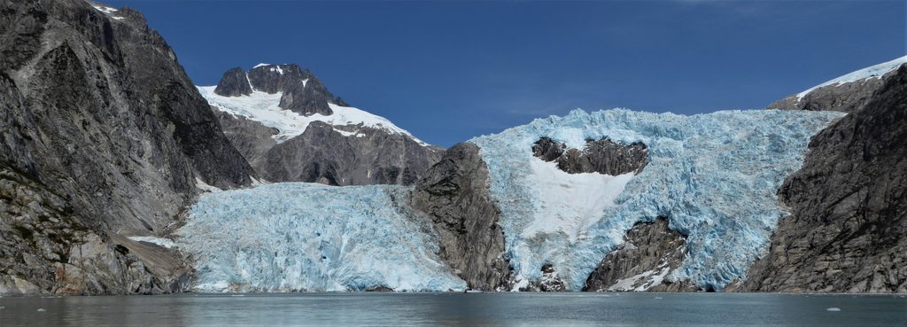
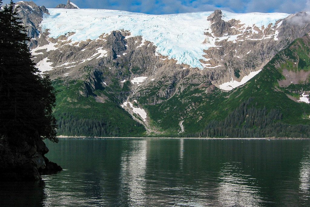
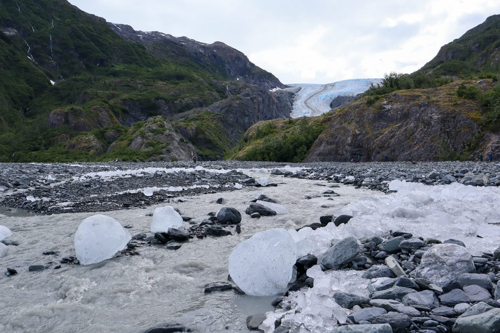
McCarty Glacier sits at the far southern end of the park, flowing from the Harding Icefield into McCarty Fiord near East Arm Nuka Bay. It’s roughly 10 miles long and about 15 square miles in area. This is deep backcountry—one of the least visited corners of the park—and that’s the appeal: big, raw ice and rock with almost no one else around.
McCarty is a tidewater glacier in name, but its ongoing retreat means the ice currently has little contact with the sea. If you’re chasing constant calving, temper expectations. What you do get is a front-row seat to dramatic, climate-driven change: the terminus has pulled back about 15 km since the early 1900s.
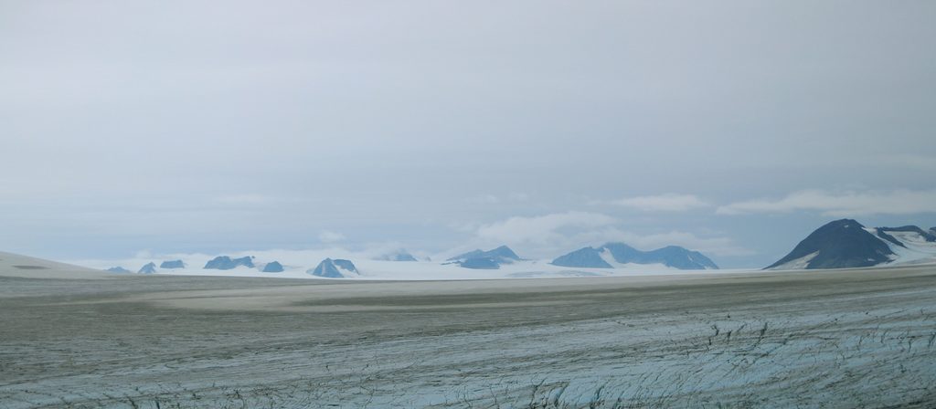
Expect an austere glacial scene: exposed bedrock, terminal moraines, outwash, and “drowned” basins like nearby James Lagoon. The setting feels expansive and evolving—freshly uncovered ground and newly forming habitats where ice recently stood.
Visitor accounts highlight excellent wildlife potential: bears (often many, with cubs), mountain goats (sometimes with kids), and orcas cruising nearby waters. Keep your distance, carry deterrent where appropriate, and give animals the space they need.
There are no roads, trailheads, or marked routes to McCarty. Reaching it typically means a boat, kayak, or air taxi. There’s no parking, no restrooms, and no developed camps—self-sufficiency is the rule. Bring detailed maps or GPS; signage is nonexistent and landings can be tricky.
Named by the U.S. Geological Survey in 1911 for William McCarty, the glacier reached its Little Ice Age maximum between about 1500–1800 and has been accelerating its retreat since around 1900. It rides over Valdez Group rocks—deformed greywacke, siltstone, and shale laid down in a Late Cretaceous trench environment.
If you’re expedition-minded and crave solitude, yes. It’s a powerful place to witness a glacier in transition, with strong wildlife potential and stark beauty. If you want easy access, facilities, or constant tidewater action, pick something closer to the beaten path.
Place · 6.9 mi away
Place · 11.5 mi away
Place · 12.5 mi away
Place · 15.3 mi away
Challenging · 35.4 mi away
Easy · 35.4 mi away
Easy · 35.4 mi away
Easy · 35.4 mi away

Parkwolf Tour Guide
