Pedersen Lagoon in Kenai Fjords National Park

Beach · Kenai Fjords National Park

Pedersen Lagoon

Paddle through a tidal entrance to a one-acre public campsite.

Photo: Flickr

Overview

About Pedersen Lagoon

Why stop

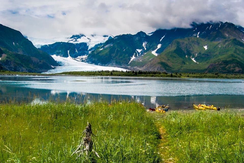
  • A forested landing shore with glacier views across the lagoon.

Heads up

  • Tide currents and surf can make the landing unsafe.

Map

Where it is

Loading the Kenai Fjords map
Full map
BeachPedersen Lagoon59.87967, -149.73638
Keep this map with you offline in the Parkwolf app

Plan your stop

Before you go

5 active Kenai Fjords alerts

  • CautionPedersen Lagoon: caution after landslide-triggered tsunamiMentions this placeUse caution in and around Pedersen Lagoon near Aialik Bay. - A landslide-triggered tsunami on August 7, 2024, washed over portions of the lagoon; the NPS currently recommends caution in the area.Official details
  • ClosureHerman Leirer Road to Exit Glacier closed to carsHerman Leirer Road, the only road access into Kenai Fjords National Park, is currently closed to automobile traffic.Official details

See all 5 alerts
A park ranger sits on a dash-mounted phone, talking, as Parkwolf’s Tour Guide plays “Army Cutworm Moths: A Grizzly Bear Buffet” on Grand Loop Road below Dunraven Pass in Yellowstone
Parkwolf Tour GuideThe highest, rockiest slopes around here are a summer buffet for grizzly bears.

Kenai Fjords Tour Guide

Your drive to Pedersen Lagoon, narrated.

Parkwolf is a GPS audio tour guide for Kenai Fjords National Park. As you drive, it chimes in with what’s ahead: hidden gems, upcoming stops, history, geology, and wildlife, right through your car’s speakers.

  • 20 audio storiesacross Kenai Fjords’s roads, triggered by GPS as you drive
  • Wildlife heatmapsfor Orca, Humpback Whale, Black Bear, and 13 more
  • Works offlinemaps, 5 trails, 37 places, and audio download before you lose signal
  • CarPlay readysimple controls built for the drive
★★★★★
“Fantastic app with many points of information… It’s great to just turn on while you’re driving and it gives you an audio tour of the national Park. We love it!!!!”
JMJamesApp Store review
Download Parkwolf on the App StoreGet Parkwolf on Google Play

4.7 from 8,600+ ratings

Guide

More about Pedersen Lagoon

A remote water landingPedersen Lagoon is a remote coastal lagoon in Aialik Bay, with a landing beach and a one-acre…

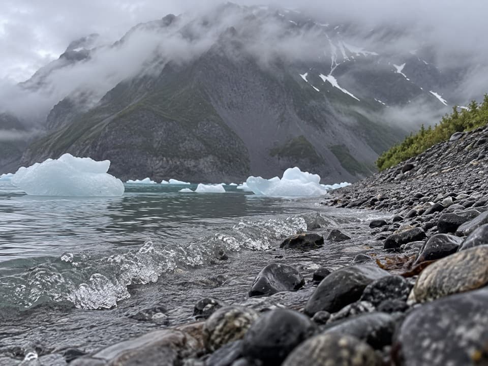
Pedersen Lagoon is a remote coastal lagoon in Aialik Bay, with a landing beach and a one-acre public campsite on the spit inside the lower lagoon. Most visitors reach the area by kayak or water taxi. This is a backcountry stop, not a road pullout; the public easement allows a stay of up to 24 hours.

Plan around tide and surfThe entrance from Aialik Bay is a tidal channel.

The entrance from Aialik Bay is a tidal channel. Enter and leave within a few hours of high tide: currents can become hazardous near low tide, and breaking surf can make the outer beach impossible to land on. Glacial change and rough seas can alter the shoreline, so carry a chart and check conditions before committing to the landing.

Keep to the public groundThe public easement is only one acre.

The public easement is only one acre. Land above mean high tide beyond it belongs to Port Graham Village Corporation, and on-foot exploration there requires a special permit. Stick to established trails and campsites to protect the vegetation. The campsites have a food locker and hanging cable, but a food-storage box at the easement was damaged in 2024; verify what is available before relying on on-site storage.

A changing glacier coastThe lower lagoon is influenced by the tide; the upper basin is a separate glacier-fed lake at…

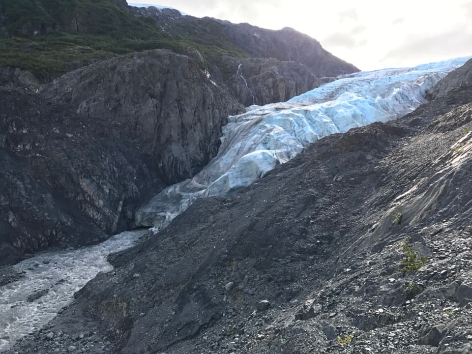
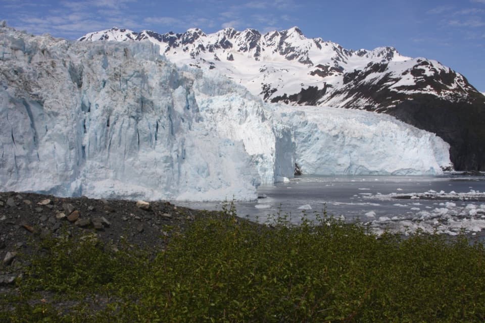
The lower lagoon is influenced by the tide; the upper basin is a separate glacier-fed lake at Pedersen Glacier. In August 2024, a landslide into the upper lagoon produced tsunami run-up of at least 56 feet there and about 3 feet in the lower lagoon. The steep, ice-carved setting is still changing.

Look back from shoreThe campsite shore opens onto the lagoon with glacier and mountain walls beyond.

The campsite shore opens onto the lagoon with glacier and mountain walls beyond. For a photo, leave a strip of shore and water in the foreground so the lagoon reads as clearly as the ice.

Wildlife

Wildlife in Kenai Fjords

All Kenai Fjords wildlife maps

Sighting maps show where each species has been reported across Kenai Fjords. Wildlife moves, so no sighting is guaranteed.

Parkwolf’s Kenai Fjords ranking

Top sights in Kenai Fjords

All 37 places
  1. 1Exit Glacier OverlookSight
  2. 2Aialik GlacierSight
  3. 3Harding Icefield OverlookSight
  4. 4Glacier ViewSight
  5. 5Holgate GlacierSight
  6. 6Northwestern GlacierSight

Take Parkwolf to Kenai Fjords.

The audio tour guide for the drive, plus offline maps, trails, and wildlife heatmaps for when the signal drops.

4.7 from 8,600+ ratings

Download Parkwolf on the App StoreGet Parkwolf on Google Play