Pros & cons
PROS
- Panoramic vantage of a 700-square-mile icefield with nunataks
- Emergency shelter near the top for sudden weather
- Route is flagged with orange markers when snow lingers
CONS
- No facilities at the top—no water or toilets
- Snow often lingers into July with slip and avalanche hazards
- Very popular on clear summer days
Overview
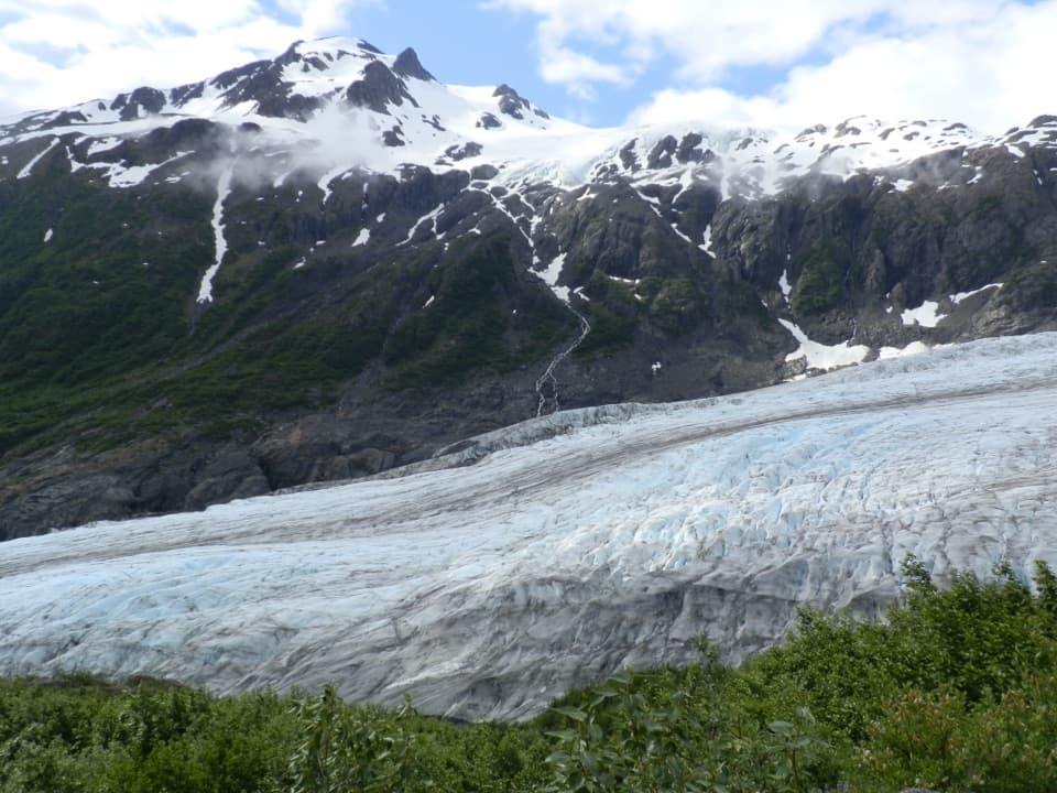
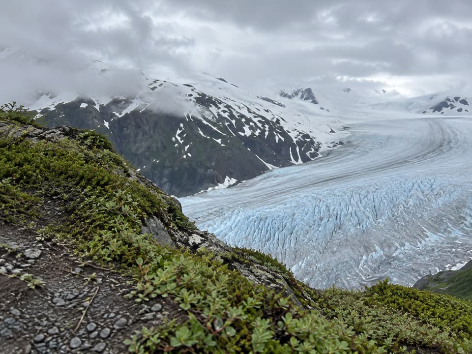
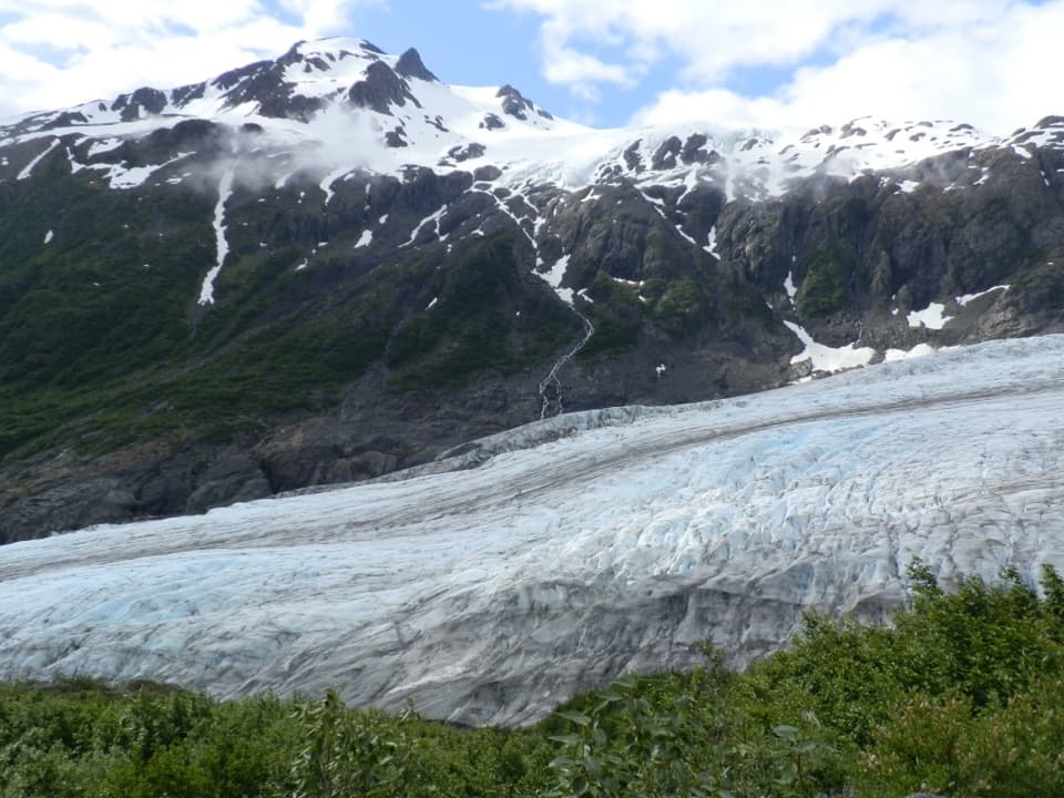
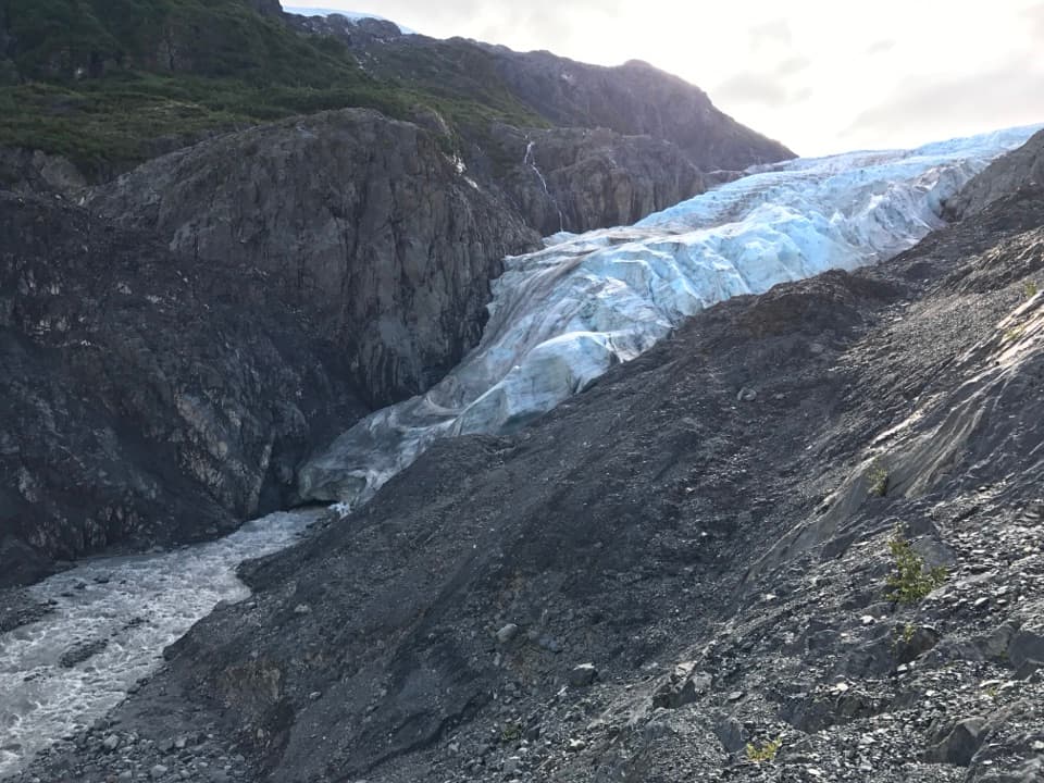
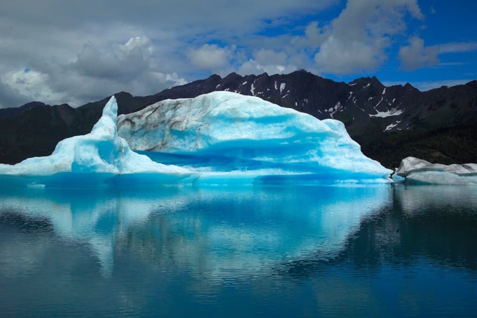
Harding Icefield Overlook is the payoff at the end of the Harding Icefield Trail, where the world turns white and the horizon is nothing but ice and sky. You’re looking across one of the largest icefields in the United States, dotted with rugged nunataks (peaks poking through the ice) and feeding dozens of outlet glaciers—Exit Glacier lies right below you.
What Makes It Special
From here you can grasp the icefield’s sheer scale—about 700 square miles, up to roughly 4,000 feet thick in places. It’s a living remnant of the last Ice Age, slowly flowing at the edges while snowfall keeps replenishing the mass. On clear days, that endless sweep of ice feels otherworldly.
Getting There & Difficulty
You reach the overlook by hiking the Harding Icefield Trail from the Exit Glacier area. Expect a strenuous climb of over 3,000 feet and roughly 8–9 miles roundtrip. The route starts in coastal forest, breaks into meadows, then climbs into a stark alpine world. Many hikers turn around at Marmot Meadows or Top of the Cliffs—both offer big views—if conditions higher up aren’t friendly.
Conditions to Expect
Snow commonly lingers into July, and early season can mean avalanche and slip hazards. When snow covers the path, orange flags typically mark the route. Weather changes fast; fog, wind, and cold can roll in quickly and erase your views. Start early and check current conditions with rangers before you commit to the upper sections.
Wildlife
Bears are occasionally seen along the trail, and marmots are regulars in the meadows. Mountain goats sometimes appear on nearby slopes. Midday foot traffic tends to reduce sightings; dawn and dusk are better for wildlife, though you should always follow bear‑safety practices.
On-Site Realities
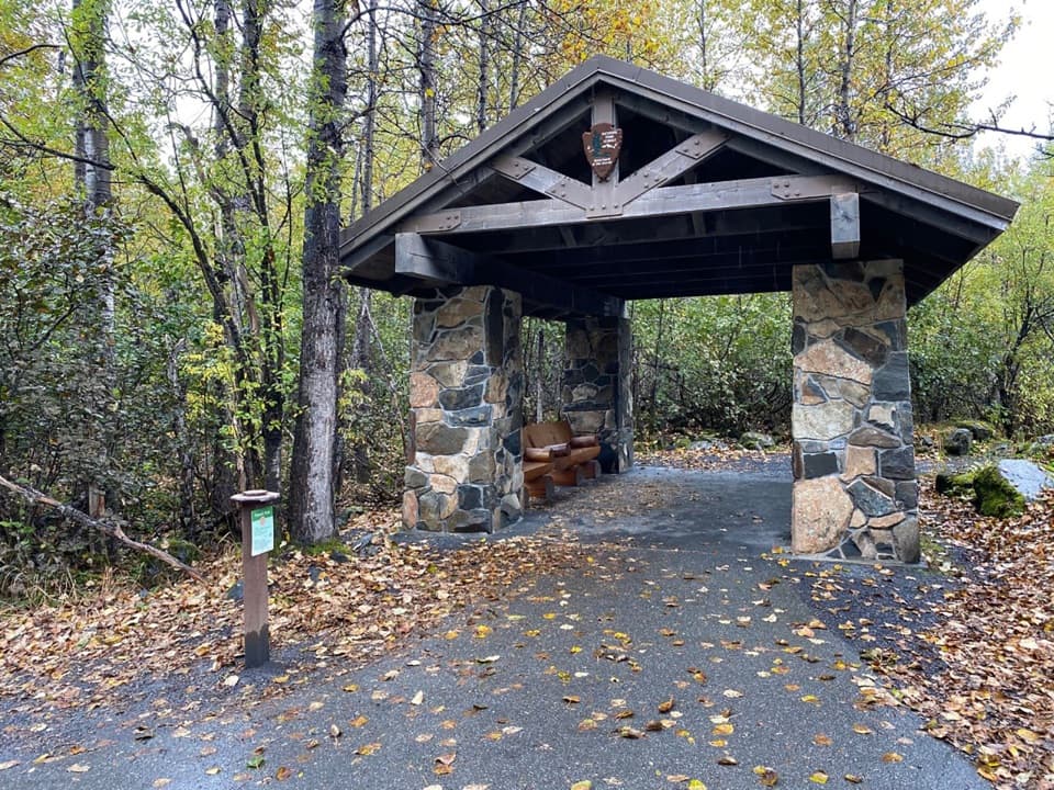
This is a true backcountry overlook: no restrooms, no food, no water. There is an emergency shelter near the top (not for overnight use), useful if weather turns on you. Otherwise, what you bring is what you have—plan accordingly.
Gear & Safety
Trekking poles, waterproof boots, and layered clothing are strongly recommended. Pack rain gear, sun protection (glare off the ice is real), and enough food and water for a full-day effort. The National Park Service asks hikers to stay on the maintained route; don’t venture beyond marked points unless you’re properly equipped and experienced.
Crowds & Timing
It’s a bucket-list hike and one of the park’s most popular summer objectives. Clear weekend days draw big numbers. Beat the rush (and the afternoon weather) by hitting the trail early.
Is It Worth It?
If you’re up for a challenging climb, absolutely. Few places let you stand eye-level with a sea of ice that seems to swallow the horizon. Even if you turn around at Marmot Meadows or Top of the Cliffs, the progression from forest to alpine to ice is memorable in its own right.
Where it is
60.1841, -149.6377Tips for Harding Icefield Overlook
- 01Start early to beat crowds and afternoon weather changes.
- 02Check current trail and snow conditions with rangers before you go.
- 03If conditions look dicey above, turn around at Marmot Meadows or Top of the Cliffs.
- 04Bring poles, waterproof boots, layers, and sun protection—glare off the ice is strong.
- 05Carry all water and food; there are no services and no restrooms at the top.
Amenities
Near Harding Icefield Overlook
All places →All trails →
0 mi awayTop of the Cliffs OverlookBig cliff-top view after the trail’s steepest switchbacksScenic Viewpoint
0.3 mi awayExit Glacier Nature CenterTrailhead hub with exhibits and easy walks to a roadside glacierVisitor Center · Exhibit
0.3 mi awayExit Glacier OverlookShort hike to a front-row view of a retreating glacierScenic Viewpoint · Trailhead
0.3 mi awayGlacier ViewEasy loop to a front-row view of Exit GlacierTrailhead · Restroom
0.4 mi awayHarding Icefield TrailSteep climb above Exit Glacier to a vast, unforgettable icefield viewChallenging · 8.2 mi · 7 hr
0.4 mi awayGlacier Overlook TrailShort, view-rich climb to sweeping views of Exit Glacier.Easy · 1.8 mi · 1.3 hr
0.4 mi awayEdge of the Glacier TrailEasy walk to Exit Glacier’s icy terminus and retreat markersEasy · 2 mi · 1.3 hr
0.4 mi awayGlacier View LoopEasy, paved loop to a broad view of Exit Glacier from valley.Easy · 1.1 mi · 30 min