Southwestern Glacier Landing Beach in Kenai Fjords National Park

Beach · Kenai Fjords National Park

Southwestern Glacier Landing Beach

A remote cove beach with tide-limited camping.

Overview

About Southwestern Glacier Landing Beach

Why stop

  • A smaller beach just southwest adds another stretch to explore.

Heads up

  • High tide limits camping space and makes the short crossing rocky.

Map

Where it is

Loading the Kenai Fjords map
Full map
BeachSouthwestern Glacier Landing Beach59.76403, -150.05933
Keep this map with you offline in the Parkwolf app

Plan your stop

Before you go

5 active Kenai Fjords alerts

  • ClosureHerman Leirer Road to Exit Glacier closed to carsHerman Leirer Road, the only road access into Kenai Fjords National Park, is currently closed to automobile traffic.Official details
  • ClosureExit Glacier canyon closure: sudden outburst-flood riskThe canyon from Exit Glacier’s toe to where Exit Creek opens into the Outwash Plain is closed; stay on designated park trails.Official details

See all 5 alerts
A park ranger sits on a dash-mounted phone, talking, as Parkwolf’s Tour Guide plays “Army Cutworm Moths: A Grizzly Bear Buffet” on Grand Loop Road below Dunraven Pass in Yellowstone
Parkwolf Tour GuideThe highest, rockiest slopes around here are a summer buffet for grizzly bears.

Kenai Fjords Tour Guide

Your drive to Southwestern Glacier Landing Beach, narrated.

Parkwolf is a GPS audio tour guide for Kenai Fjords National Park. As you drive, it chimes in with what’s ahead: hidden gems, upcoming stops, history, geology, and wildlife, right through your car’s speakers.

  • 20 audio storiesacross Kenai Fjords’s roads, triggered by GPS as you drive
  • Wildlife heatmapsfor Orca, Humpback Whale, Black Bear, and 13 more
  • Works offlinemaps, 5 trails, 37 places, and audio download before you lose signal
  • CarPlay readysimple controls built for the drive
★★★★★
“Fantastic app with many points of information… It’s great to just turn on while you’re driving and it gives you an audio tour of the national Park. We love it!!!!”
JMJamesApp Store review
Download Parkwolf on the App StoreGet Parkwolf on Google Play

4.7 from 8,600+ ratings

Guide

More about Southwestern Glacier Landing Beach

A remote beach in Northwestern FiordThis is a small landing and camping beach on the shore of Northwestern Fiord, reached by kayak…

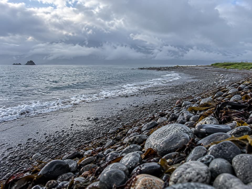
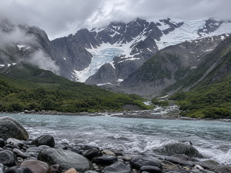
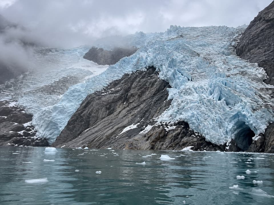
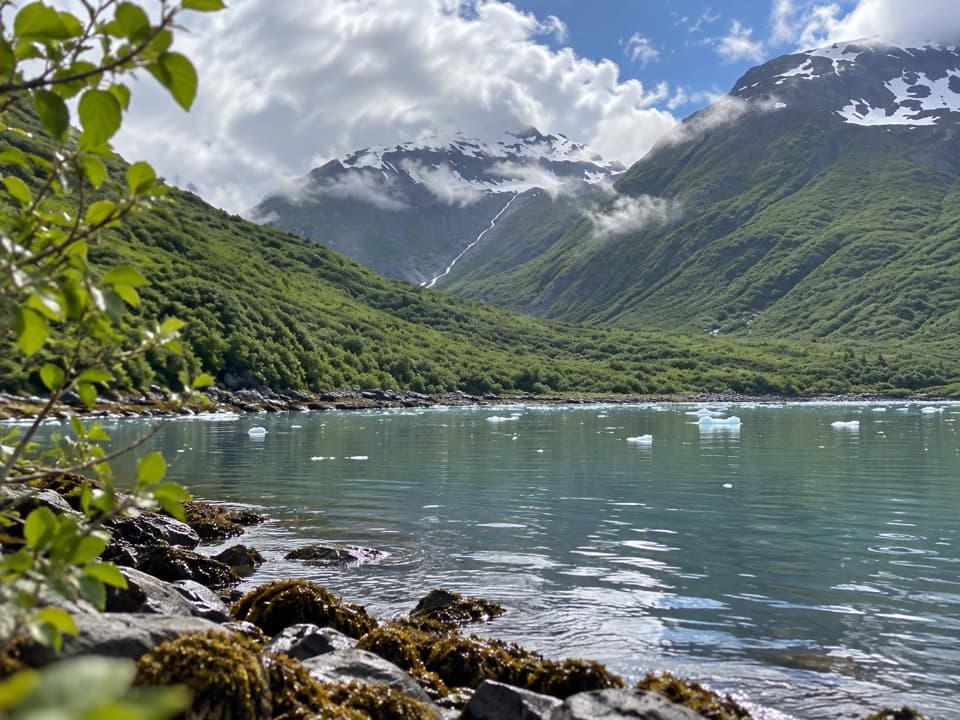
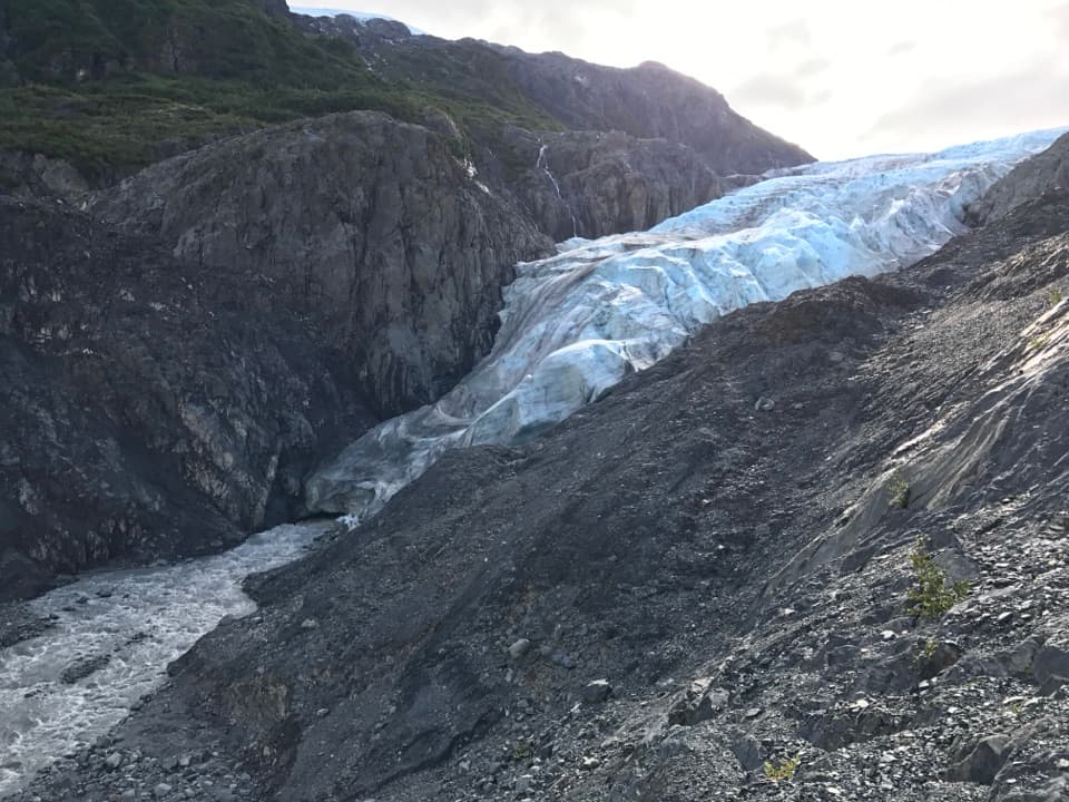
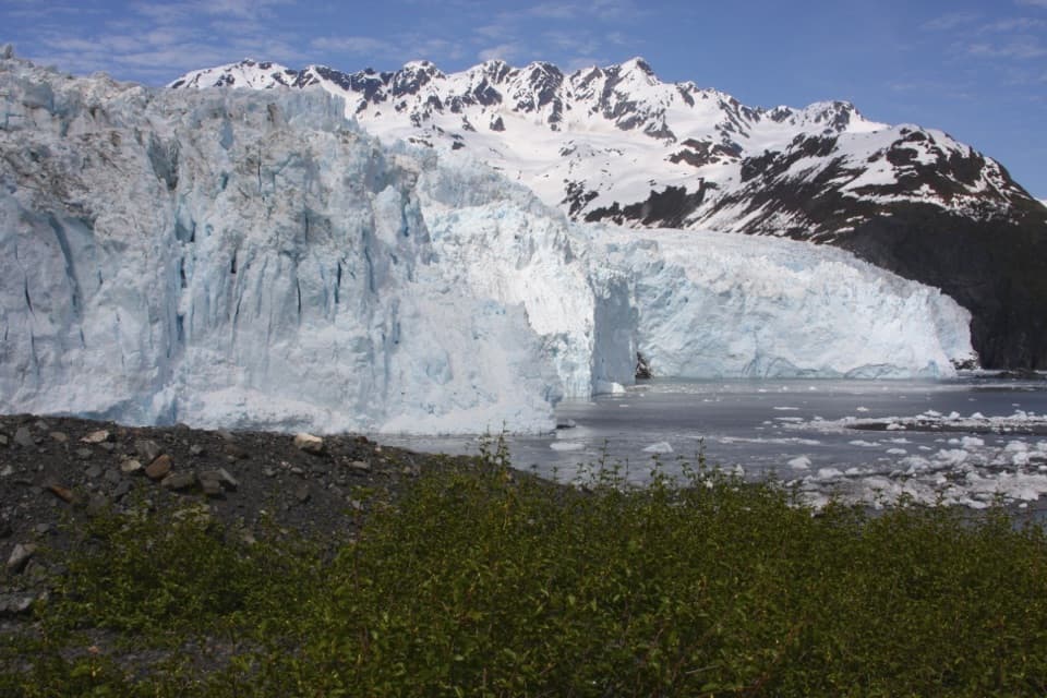
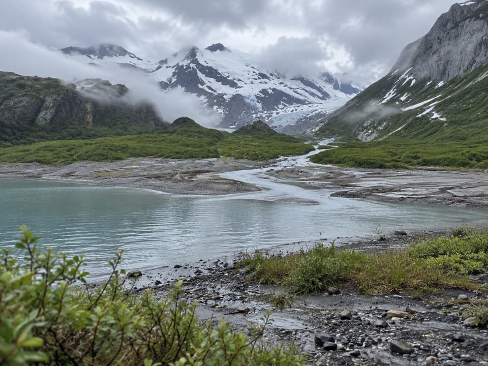
This is a small landing and camping beach on the shore of Northwestern Fiord, reached by kayak or water taxi. It works as a backcountry stop, not a road-access beach.

Tide shapes the visitAt high tide, camping space on the main beach is limited.

At high tide, camping space on the main beach is limited. The smaller beach just southwest is an easy walk at low tide; at high tide, reaching it takes a scramble over rocks. Low tide is the easier time to explore and photograph both stretches of shore. Strong glacial winds can make conditions challenging.

Find the food lockerA food-storage locker is at the southwest end of the beach, in the alders about 50 meters above…

A food-storage locker is at the southwest end of the beach, in the alders about 50 meters above the high-tide line. It can be hard to spot. Follow coastal backcountry food-storage and human-waste rules when camping here.

Wildlife

Wildlife in Kenai Fjords

All Kenai Fjords wildlife maps

Sighting maps show where each species has been reported across Kenai Fjords. Wildlife moves, so no sighting is guaranteed.

Parkwolf’s Kenai Fjords ranking

Top sights in Kenai Fjords

All 37 places
  1. 1Exit Glacier OverlookSight
  2. 2Aialik GlacierSight
  3. 3Harding Icefield OverlookSight
  4. 4Glacier ViewSight
  5. 5Holgate GlacierSight
  6. 6Northwestern GlacierSight

Take Parkwolf to Kenai Fjords.

The audio tour guide for the drive, plus offline maps, trails, and wildlife heatmaps for when the signal drops.

4.7 from 8,600+ ratings

Download Parkwolf on the App StoreGet Parkwolf on Google Play