Overview
About Innisfallen Island and Abbey
Why stop
- The crossing and quiet island setting make the ruins feel like a real outing.
Heads up
- Time ashore depends on the boat trip and its return plan.
Map
Where it is

The highest, rockiest slopes around here are a summer buffet for grizzly bears.
Killarney Tour Guide
Your drive to Innisfallen Island and Abbey, narrated.
Parkwolf is a GPS audio tour guide for Killarney National Park. As you drive, it chimes in with what’s ahead: hidden gems, upcoming stops, history, geology, and wildlife, right through your car’s speakers.
Recorded for this place
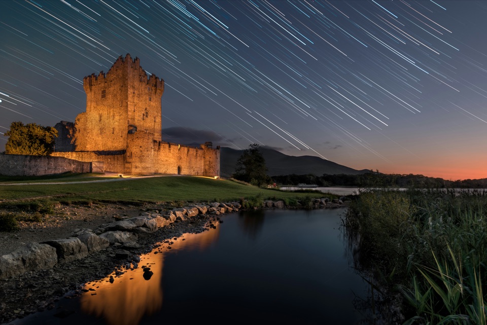
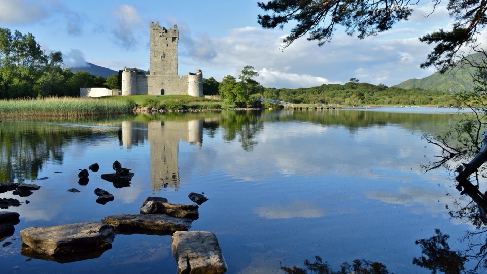
Ross Castle and Innisfallen“You're coming up on the approach to Ross Castle, the fifteenth-century O'Donoghue stronghold beside Lough Leane.”
Plays as you drive up to Innisfallen Island and Abbey in the Parkwolf Killarney Tour Guide.
More stories near here in the app
- Ross Island Copper Mines
- Knockreer and Deenagh Lodge
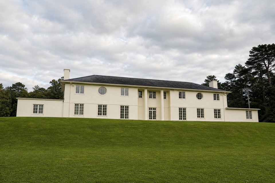
- Killarney House and Gardens
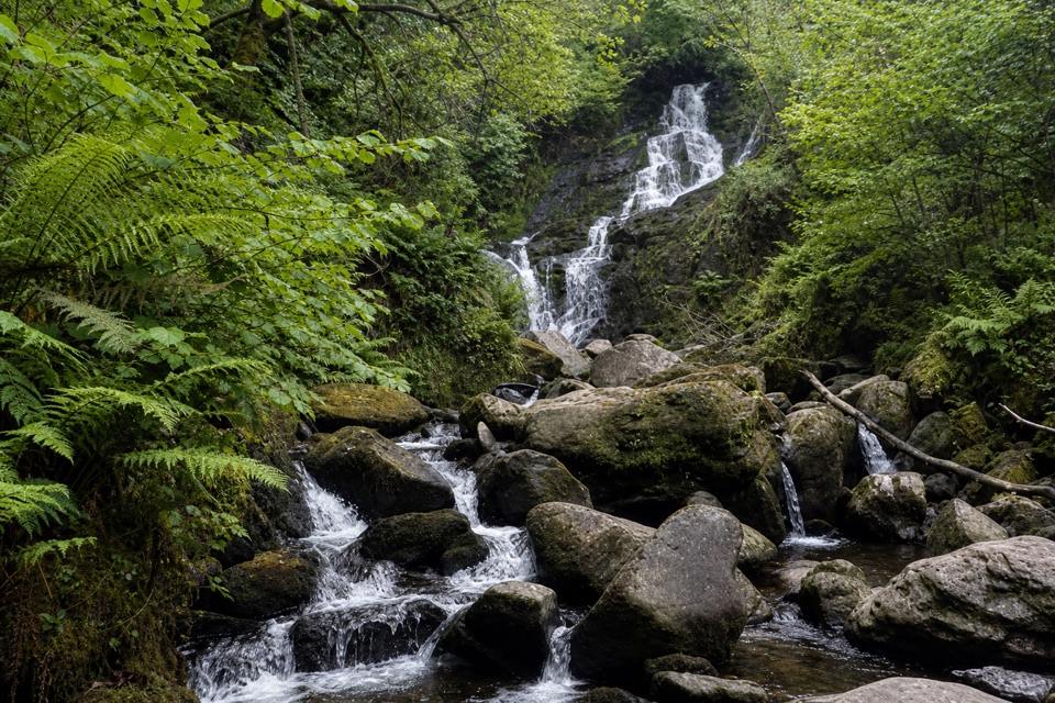
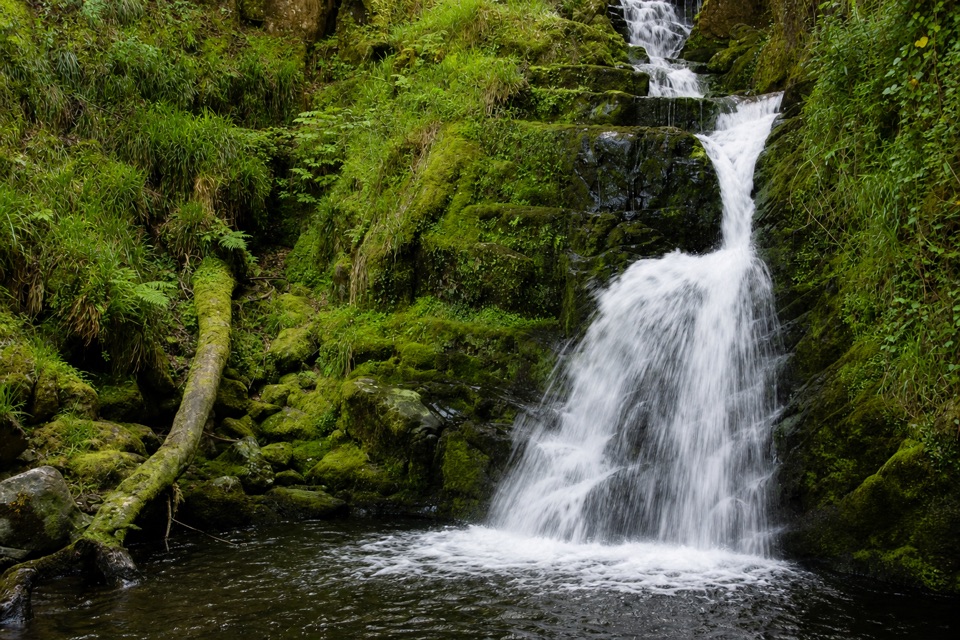
- Tomies Wood and O'Sullivan's Cascade
- 18 audio storiesacross Killarney’s roads, triggered by GPS as you drive
- Wildlife heatmapsfor Red Deer, Sika Deer, Feral Goat, and 10 more
- Works offlinemaps, 29 trails, 32 places, and audio download before you lose signal
- CarPlay readysimple controls built for the drive
“Fantastic app with many points of information… It’s great to just turn on while you’re driving and it gives you an audio tour of the national Park. We love it!!!!”


Guide
More about Innisfallen Island and Abbey
A boat ride to a small island monasteryInnisfallen is an island of about 8.
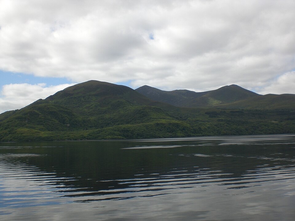
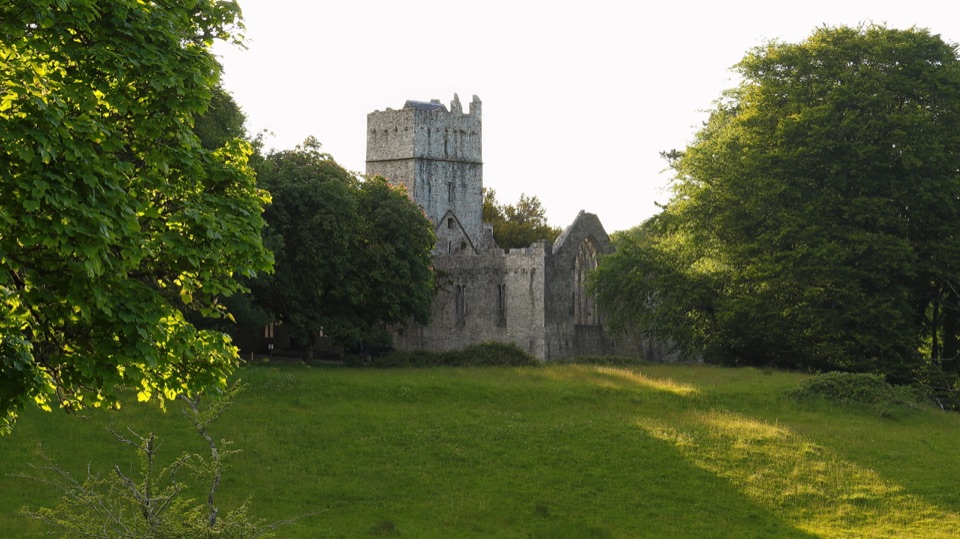
Innisfallen is an island of about 8.5 hectares in the centre of Lough Leane, best known for its early and medieval monastic ruins. I’d make time for the boat crossing and a slow look around if Irish history is your thing; the quiet, wooded setting is part of the appeal. The site holds several buildings, not just one abbey church: there’s a shore-side Oratory, the larger Abbey Church, another early church, and remains of a cloister and domestic building.
Plan around your boatThere’s no road access.
There’s no road access. Boat trips to the island are listed from Ross Castle and the Old Boat House near Muckross House. Set your return time with the operator before you land; time ashore varies by trip, so don’t assume you’ll have time for a long walk around the island. Food, drinking water and public restrooms aren’t listed for the island, so bring what you need. The ruins are unguided; take care as you explore. If you paddle over by canoe or kayak, the park requires a permit and advance power-washing of the vessel.
More than one church to exploreThe remains include a small early Irish church as well as the bigger Abbey Church, along with a…
The remains include a small early Irish church as well as the bigger Abbey Church, along with a possible Augustinian chapter house, a cloister and a bullaun stone. That gives the visit a nice change of scale: you can look at the overall layout, then slow down for the details in individual walls and doorways. It’s an unguided monument, so a little advance reading can help the separate buildings make sense.
The shore-side OratoryThe first church visitors encounter is the Oratory by the lake.
The first church visitors encounter is the Oratory by the lake. Its sandstone doorway is carved with chevrons and stylized animal heads in a Hiberno-Norman style. The doorway dates to the 12th century, though parts of the building may be older, possibly from the 10th century. A stone cross now inside was found in the lake nearby.
Inside the Abbey ChurchThe larger Abbey Church also dates to the 12th century.
The larger Abbey Church also dates to the 12th century. Look for its two narrow east windows, the stone altar and a carved piscina, a basin used to wash the communion chalice. A sandstone corner carving shows a bearded man; it may represent Saint Finian or one of the early abbots, but the figure hasn’t been identified for certain.
The Annals of InnisfallenThe monastery is best known as the place where the Annals of Innisfallen were compiled.
The monastery is best known as the place where the Annals of Innisfallen were compiled. They chronicle Irish history from 433 to 1450 and include an account of earlier Irish prehistory. The annals also record Viking raids on the monastery and an 1180 attack by the O’Donoghue clan, when gold and silver were taken from the church.
A foundation with an uncertain founderThe first monastery is dated to 640 and attributed to a Saint Finian, but the exact saint is…
The first monastery is dated to 640 and attributed to a Saint Finian, but the exact saint is uncertain. The leading possibilities are St Finian the Leper, a disciple of St Columba, and St Finan Cam of Corcha Dhuibhne. The island’s isolation likely suited a monastic life, but the earliest wooden buildings have left no trace.
From priory to national parkAfter the Norman arrival in the late 12th century, the monastery came under Augustinian control…
After the Norman arrival in the late 12th century, the monastery came under Augustinian control and was renamed the Priory of Saint Mary. Elizabeth I closed the community in 1582. The island later passed through private owners before entering state ownership as part of Killarney National Park in 1973.
A wooded island and a good detail to photographMost of the island is wooded, with undulating ground around the ruins.
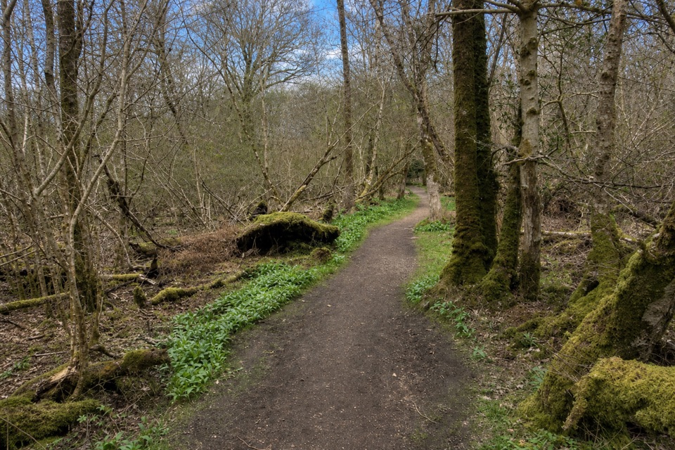
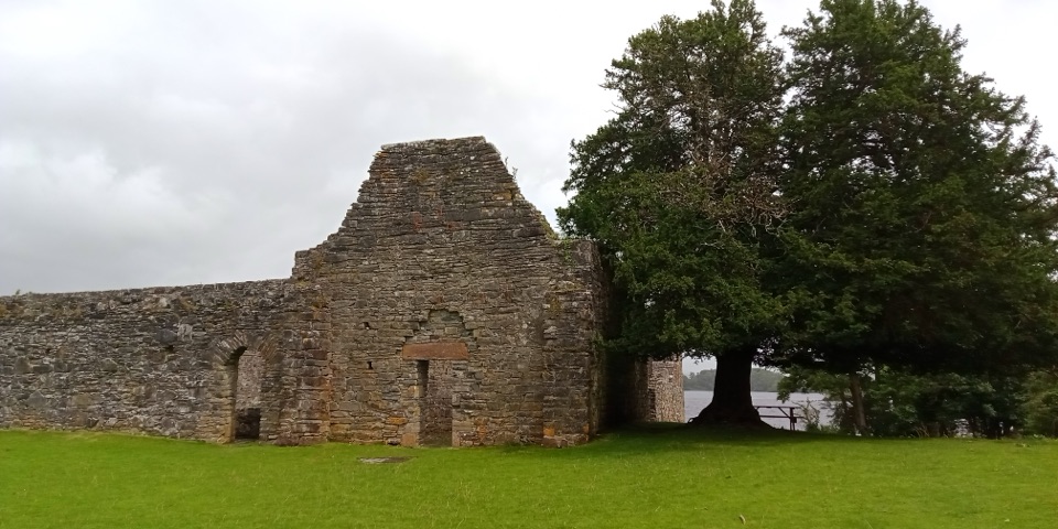
Most of the island is wooded, with undulating ground around the ruins. Some visitors report deer moving through the trees and open grass, though sightings aren’t guaranteed. For a photo, the shore-side ruin, its mature yew and a glimpse of the lake make a stronger frame together than a close shot of stone alone; the carved Oratory doorway is the detail to look for once you’re among the buildings.
Wildlife
Wildlife in Killarney
 104 sightingsRed DeerMost seen around 7 AMSighting map
 207 sightingsSika DeerMost seen around 7 AMSighting map
 12 sightingsFeral GoatMost seen around 6 PMSighting map
 49 sightingsSwanMost seen around 7 AMSighting map
 48 sightingsHeronMost seen around 5 PMSighting map
 15 sightingsCormorantMost seen around 8 AMSighting map
Sighting maps show where each species has been reported across Killarney. Wildlife moves, so no sighting is guaranteed.