Parking
Start and finish at Ross Castle car park, the park access used for the island walks.
Killarney National Park, KY
Woodland tracks, old copper workings, and lake views make an easy circuit.
Overview
Map & elevation
Plan your hike

The highest, rockiest slopes around here are a summer buffet for grizzly bears.
Killarney Tour Guide
Parkwolf is a GPS audio tour guide for Killarney National Park. As you drive, it chimes in with what’s ahead: hidden gems, upcoming stops, history, geology, and wildlife, right through your car’s speakers.
Recorded for this trailhead
Ross Island Copper Mines“You're coming up on the Ross Island walking trails, where the Copper Mines add a much older story to the lakeshore.”
Plays as you drive up to this trailhead in the Parkwolf Killarney Tour Guide.
More stories near here in the app
“Fantastic app with many points of information… It’s great to just turn on while you’re driving and it gives you an audio tour of the national Park. We love it!!!!”


Trail guide
Ross Island Loop is an easy 3.6-mile (5.8-km) circuit from Ross Castle car park, across wooded Ross Island and back to the same start. It links the Copper Mines, Governor’s Rock and Library Point; allow about 1½–2 hours with stops. The line saved here measures 5.8 km. Distances vary because the island has several overlapping named walks and optional headland loops; this is the combined circuit, not just the shorter Copper Mines walk. If you want a shorter outing, the park’s Copper Mines circuit is about 3 km.
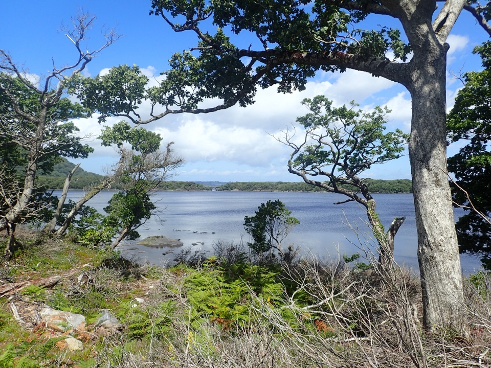
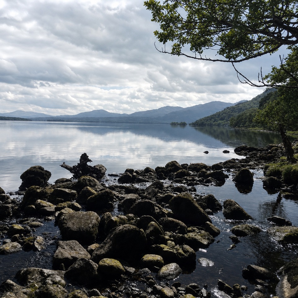
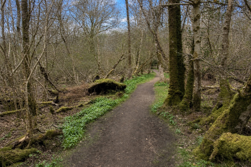
The approach leaves the surfaced access near Ross Castle and continues on broad tracks, gravel and narrower earth paths through mature woodland. It stays low, with small rolling rises rather than a sustained climb. The quiet interior can feel far from the busy castle grounds; along the shore, breaks in the trees open views over Lough Leane toward the mountains.
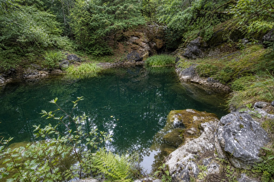
The loop passes the island’s historic copper workings. Mining at Ross Island began around 2400 BCE, in the Bronze Age, making this a much older landscape than the castle. Shafts and stone workings sit among the woodland; stay on the paths as you pass them. The route is a good choice if you like a walk with something substantial to notice between its lake views.
Governor’s Rock and Library Point add the most open stretches. At Library Point, water appears on both sides of the narrowing peninsula, and erosion has cut the shore limestone into a shape like books on a shelf. Look across to Innisfallen Island and its medieval monastery ruins. A low fence marks unstable ground at the water’s edge; stay behind it. Governor’s Rock gives another lakeside outlook, with Ross Castle among the route’s landmarks.
Start and finish at Ross Castle car park. Public toilets are behind the castle, and a coffee shop in the adjacent house operates seasonally; both are at the trailhead, not along the walk. Dogs are allowed in the national park but must stay on a lead. The low, marshy approach to Library Point can flood in winter or after heavy rain, so be ready to turn back if water blocks the path.
Wildlife
 104 sightingsRed DeerMost seen around 7 AMSighting map
 207 sightingsSika DeerMost seen around 7 AMSighting map
 12 sightingsFeral GoatMost seen around 6 PMSighting map
 49 sightingsSwanMost seen around 7 AMSighting map
 48 sightingsHeronMost seen around 5 PMSighting map
 15 sightingsCormorantMost seen around 8 AMSighting map
Sighting maps show where each species has been reported across Killarney. Wildlife moves, so no sighting is guaranteed.
Keep exploring
 EasyRoss Island Mining Trail3 km · 1 hr · At the trailheadA gentle woodland loop to Ross Island’s prehistoric copper workings.
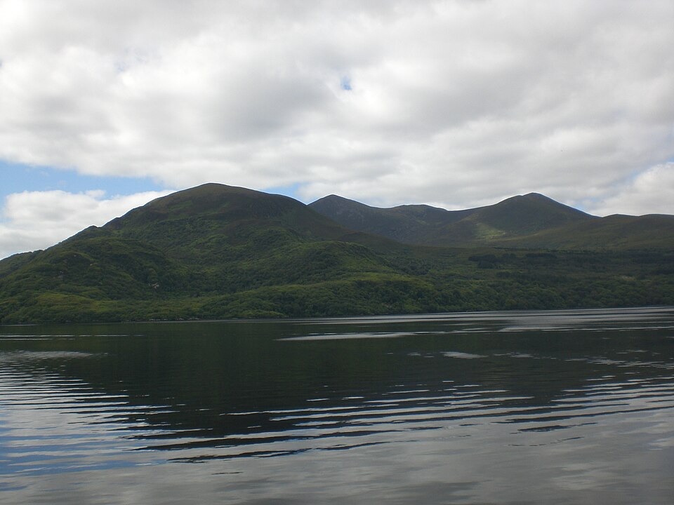 EasyGovernor’s Rock Loop3.1 km · 1 hr · 0.1 km awayOld copper mines and a lake view from a fenced cliff.
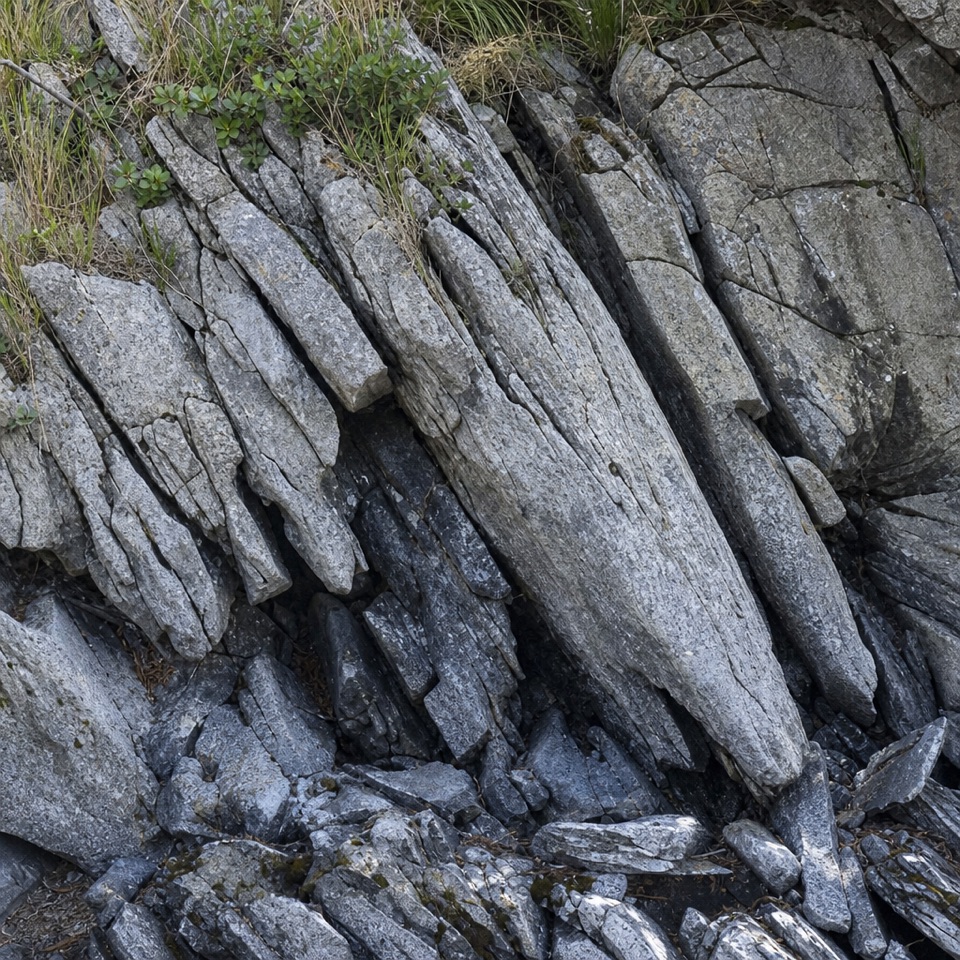 EasyLibrary Point Trail4.8 km · 1.8 hr · 0.2 km awayA wooded Ross Island walk to a book-like limestone shoreline.
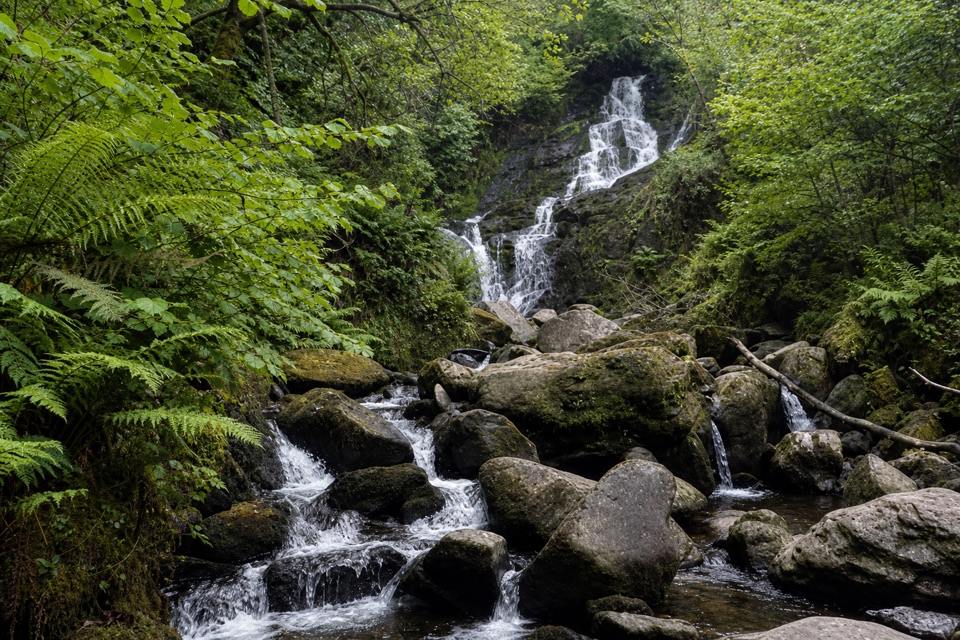 ModerateKerry Way: Killarney to Black Valley Stage22 km · 7.5 hr · 1.8 km awayA long through-hike past Torc Waterfall to Black Valley.
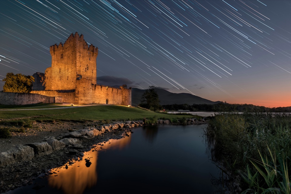 EasyRiver Walk and Ross Castle Loop8 km · 2.5 hr · 2 km awayParkland, riverside paths and Ross Castle on a gentle 8 km loop.
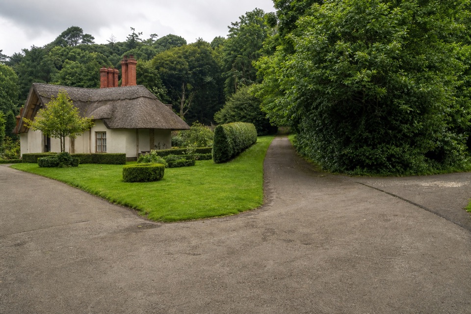 EasyKnockreer–Castlerosse Loop5.1 km · 1.8 hr · 2.1 km awayA riverside loop with meadow, lake and mountain views.
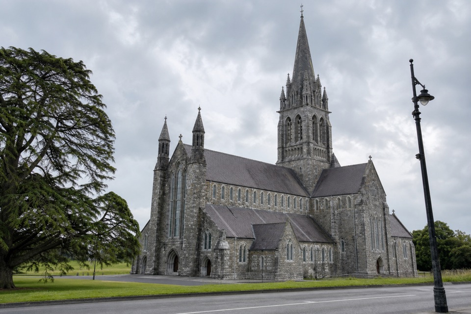 EasyThe Fossa Way4.5 km · 1.3 hr · 2.1 km awayA gentle paved walk from town through Knockreer to Fossa.
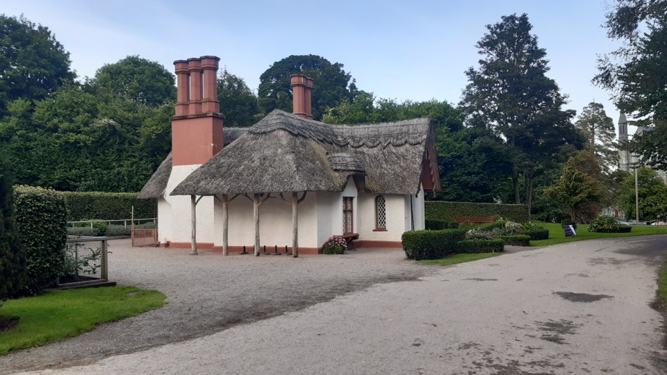 EasyKnockreer Circular Walk5 km · 2 hr · 2.2 km awayAn easy 5 km loop through Knockreer’s riverside parkland.
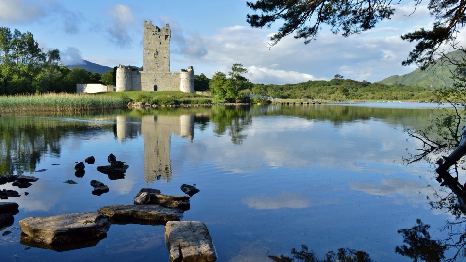 Sight · 0.1 km awayRoss CastleA lakeside castle with a siege story that came by boat.
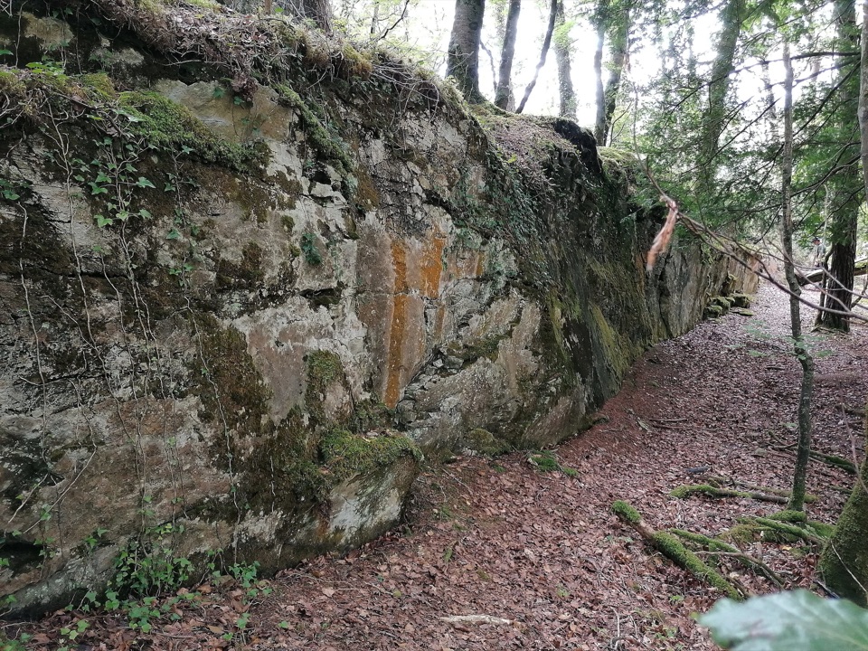 Sight · 0.9 km awayRoss Island Copper MinesA 3 km lakeshore walk past Bronze Age copper workings.
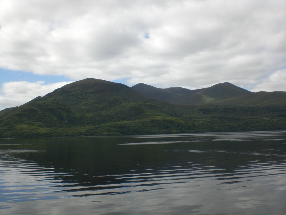 Sight · 1.1 km awayGovernor’s RockLough Leane views and the Copper Mines on an easy island walk.
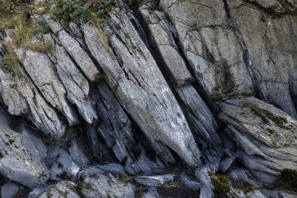 Sight · 1.2 km awayLibrary PointA book-like rock formation at the end of a lakeshore walk.
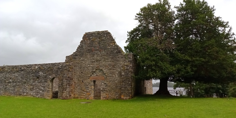 Sight · 1.8 km awayInnisfallen Island and AbbeyA quiet island of medieval ruins, reached across Lough Leane.
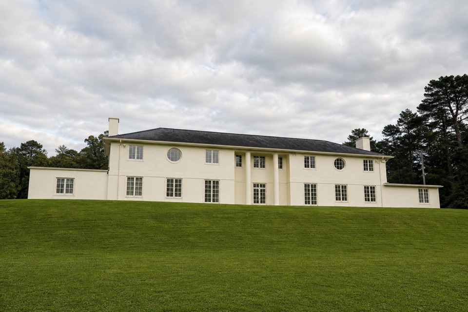 Sight · 2 km awayKnockreer House and GardensHilltop estate paths, lake views and the story of a lost house.
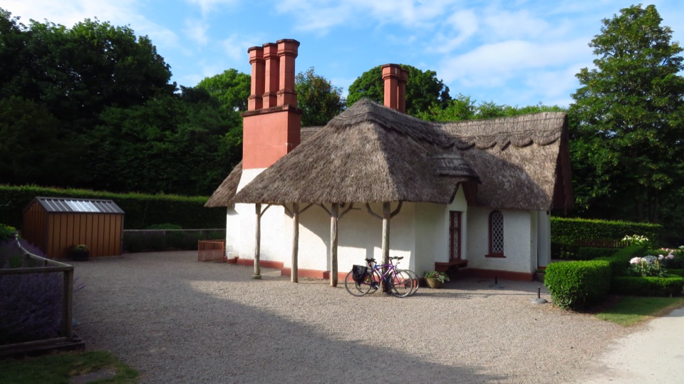 Food · 2 km awayDeenagh LodgeA thatched 1834 gate lodge makes tea part of the park walk.
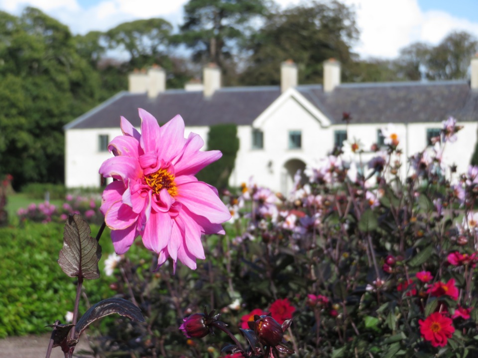 Sight · 2.2 km awayKillarney House and GardensA free park exhibition and formal gardens at Killarney's town edge.
Parkwolf’s Killarney ranking

The audio tour guide for the drive, plus offline maps, trails, and wildlife heatmaps for when the signal drops.