Overview
About Library Point
Why stop
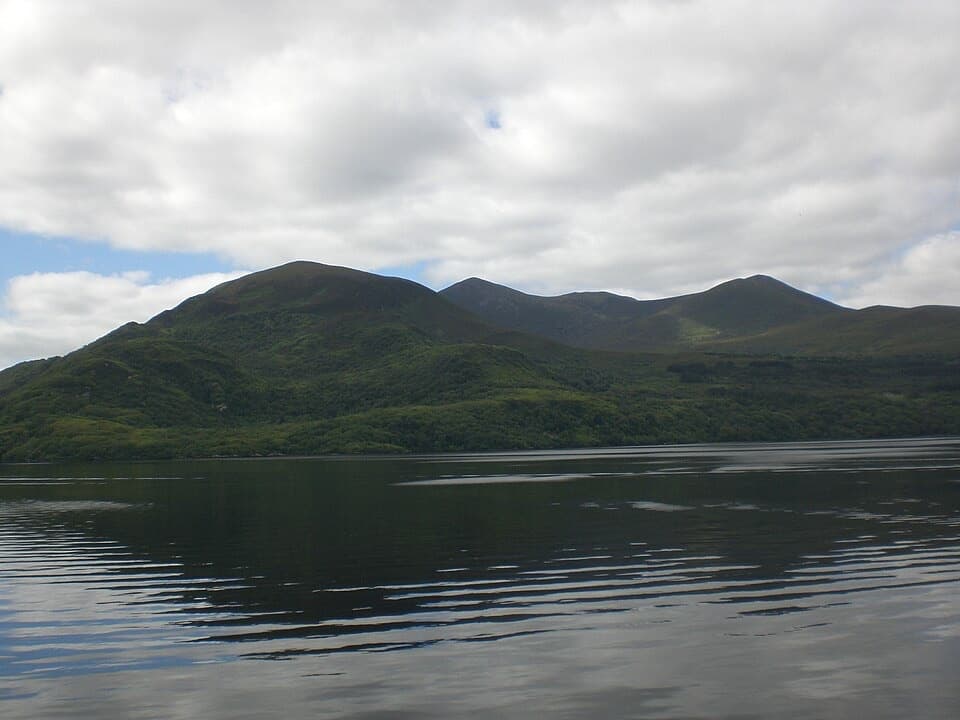
- Views across Lough Leane toward Innisfallen and the Reeks
Heads up
- Several kilometres on foot from Ross Castle
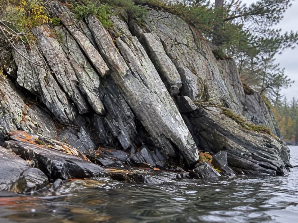
Erosion has left the limestone in broad, folded sheets that look like books stacked on a shelf. The rock sits below a low safety fence because the ground around the formation can be unstable, so look from the path rather than edging closer.
 Parkwolf’s verdictWhy it’s called Library Point
Map
Where it is

The highest, rockiest slopes around here are a summer buffet for grizzly bears.
Killarney Tour Guide
Your drive to Library Point, narrated.
Parkwolf is a GPS audio tour guide for Killarney National Park. As you drive, it chimes in with what’s ahead: hidden gems, upcoming stops, history, geology, and wildlife, right through your car’s speakers.
Recorded for this place
Ross Island Copper Mines“You're coming up on the Ross Island walking trails, where the Copper Mines add a much older story to the lakeshore.”
Plays as you drive up to Library Point in the Parkwolf Killarney Tour Guide.
More stories near here in the app
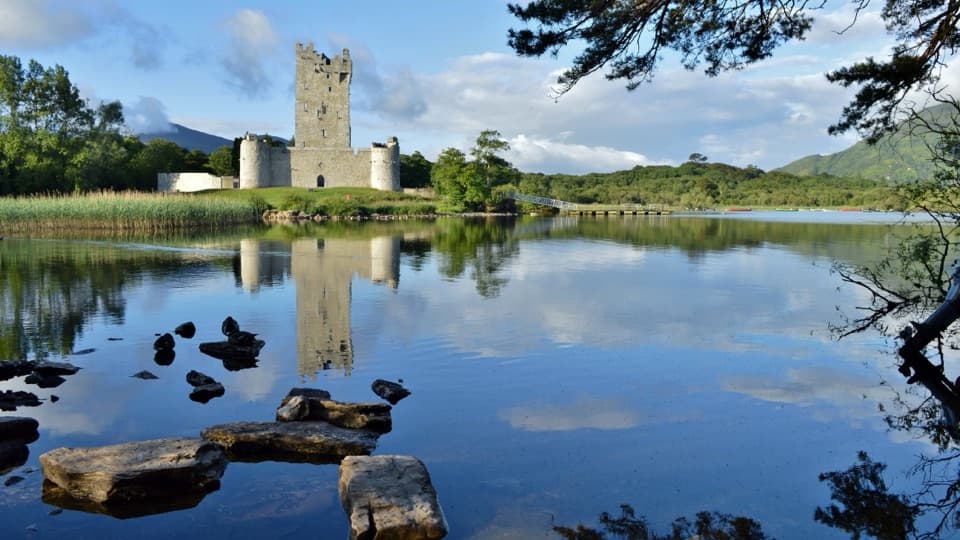
- Ross Castle and Innisfallen
- Knockreer and Deenagh Lodge
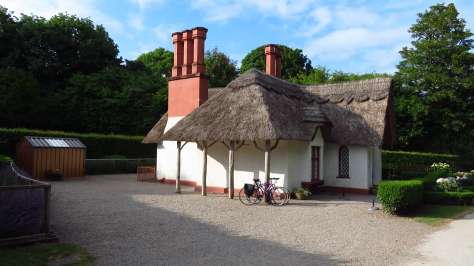
- Killarney House and Gardens
- A New Set of Antlers
- 18 audio storiesacross Killarney’s roads, triggered by GPS as you drive
- Wildlife heatmapsfor Red Deer, Sika Deer, Feral Goat, and 11 more
- Works offlinemaps, 29 trails, 32 places, and audio download before you lose signal
- CarPlay readysimple controls built for the drive
“Fantastic app with many points of information… It’s great to just turn on while you’re driving and it gives you an audio tour of the national Park. We love it!!!!”


Guide
More about Library Point
A point that takes a walkLibrary Point is a limestone headland on Ross Island, projecting into Lough Leane.
Library Point is a limestone headland on Ross Island, projecting into Lough Leane. I’d make time for it if you like unusual rock formations and a lakeside walk; it’s a walk from Ross Castle, not a quick pullout. The route passes through woodland and low marsh before reaching lakeside bays, then narrows along the headland above the water.
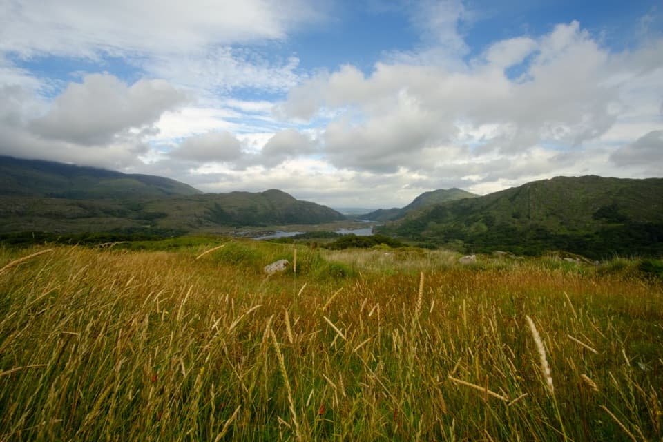
Look across Lough LeaneFrom the headland, look toward Innisfallen Island across the water.
From the headland, look toward Innisfallen Island across the water. The island holds the remains of a 12th-century monastery and an earlier oratory. On clear days, the MacGillycuddy’s Reeks rise beyond the lake. For a photo, include one of the leaning limestone slabs in the foreground with the water and island beyond; that gives the view a sense of place.
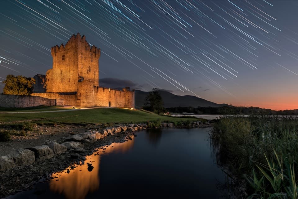
Start at Ross CastleThe most direct route from Ross Castle is just over 2 km to the point.
The most direct route from Ross Castle is just over 2 km to the point. Add the Copper Mines loop and it becomes about a 5 km return, with a short loop over the headland as another option. Low ground on the approach can flood in winter or after heavy rain, and the final path is rough and narrow in places. Ross Castle is the practical starting point, with parking and public toilets nearby and a seasonal coffee shop beside the castle.
Wildlife
Wildlife in Killarney
 106 sightingsRed DeerMost seen around 7 AMSighting map
 209 sightingsSika DeerMost seen around 7 AMSighting map
 12 sightingsFeral GoatMost seen around 6 PMSighting map
 49 sightingsSwanMost seen around 7 AMSighting map
 48 sightingsHeronMost seen around 5 PMSighting map
 16 sightingsCormorantMost seen around 8 AMSighting map
Sighting maps show where each species has been reported across Killarney. Wildlife moves, so no sighting is guaranteed.