Overview
About Ross Island Copper Mines
Why stop
- A lakeshore walk with visible mine remains and a deep Bronze Age story.
Heads up
- Old shaft openings make leaving the established path unsafe.
Archaeological work dates copper production on Ross Island to roughly 2400–1800 BCE. The mine supplied copper used in some of Ireland’s earliest metal objects and in finds from Britain, making this an important early mining site in north-western Europe.
 Parkwolf’s verdictWhy this mine matters
Map
Where it is

The highest, rockiest slopes around here are a summer buffet for grizzly bears.
Killarney Tour Guide
Your drive to Ross Island Copper Mines, narrated.
Parkwolf is a GPS audio tour guide for Killarney National Park. As you drive, it chimes in with what’s ahead: hidden gems, upcoming stops, history, geology, and wildlife, right through your car’s speakers.
Recorded for this place
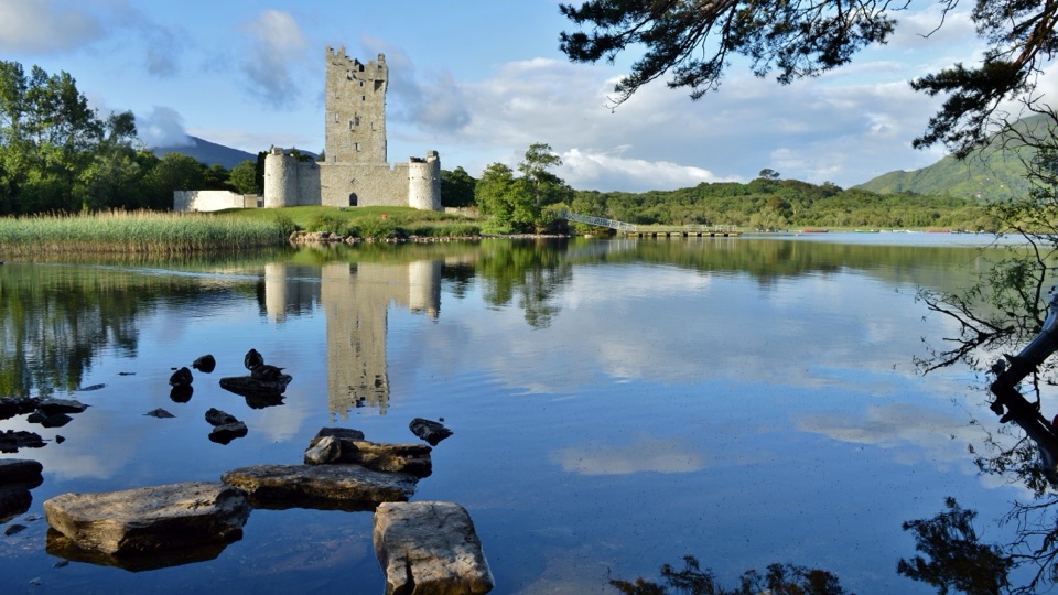
Ross Island Copper Mines“You're coming up on the Ross Island walking trails, where the Copper Mines add a much older story to the lakeshore.”
Plays as you drive up to Ross Island Copper Mines in the Parkwolf Killarney Tour Guide.
More stories near here in the app
- Ross Castle and Innisfallen
- A New Set of Antlers
- Knockreer and Deenagh Lodge
- Killarney House and Gardens
- 18 audio storiesacross Killarney’s roads, triggered by GPS as you drive
- Wildlife heatmapsfor Red Deer, Sika Deer, Feral Goat, and 10 more
- Works offlinemaps, 29 trails, 32 places, and audio download before you lose signal
- CarPlay readysimple controls built for the drive
“Fantastic app with many points of information… It’s great to just turn on while you’re driving and it gives you an audio tour of the national Park. We love it!!!!”


Guide
More about Ross Island Copper Mines
The walk to the minesRoss Island Copper Mines are a Bronze Age mining area on the wooded shore of Lough Leane, with…
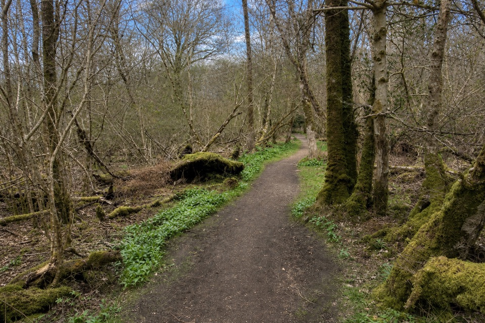
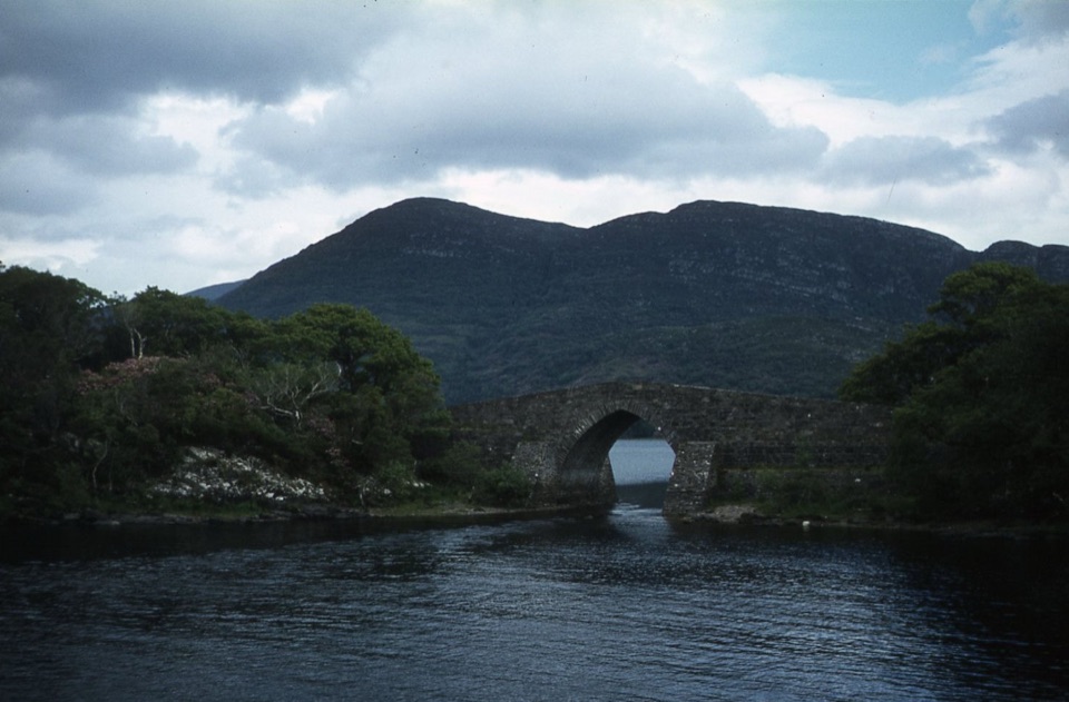
Ross Island Copper Mines are a Bronze Age mining area on the wooded shore of Lough Leane, with rock cuts, flooded shafts and interpretation along Killarney’s Mining Trail. This is an outdoor stop, not an underground tour: you follow the path past former workings and boards. The 3 km Mining Trail starts and finishes at Ross Castle car park. It’s listed as easy and mostly flat; the mine loop is a section of that walk, reached after about 800 metres.
Start past the castle, then turn onto the narrow walking path. The car park, public toilets and a seasonal coffee shop are at Ross Castle, not out by the mine. Some woodland alternatives are rougher and uneven, and lower paths can flood in winter or after heavy rain.
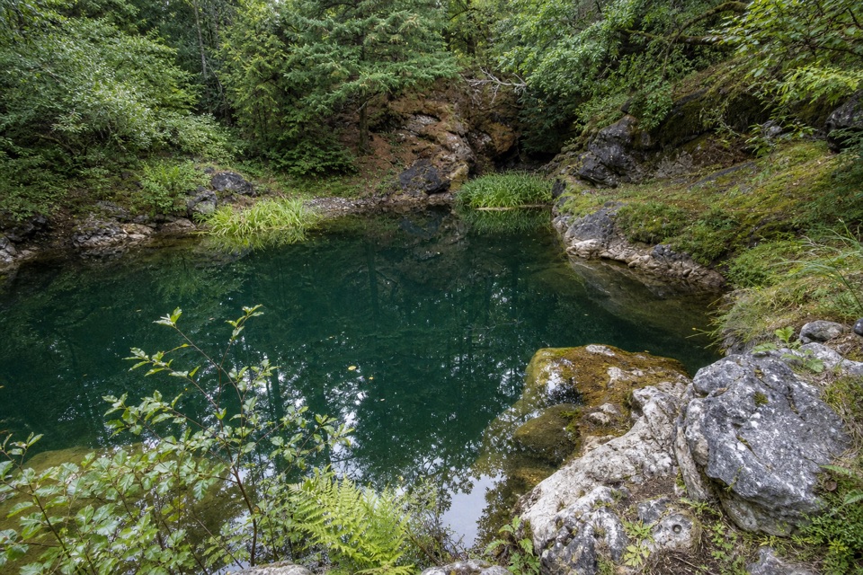
Keep to the pathOld shaft openings remain close to the route, including a flooded shaft known as the Blue Hole.
Old shaft openings remain close to the route, including a flooded shaft known as the Blue Hole. Stay on the established path and keep children close; the workings aren’t places to enter or explore. The water and old cuts are the story here, but they’re also the reason to resist a closer look.
Workings beside the lakeThe loop passes a dam wall, shaft openings and interpretation boards before reaching a stony…
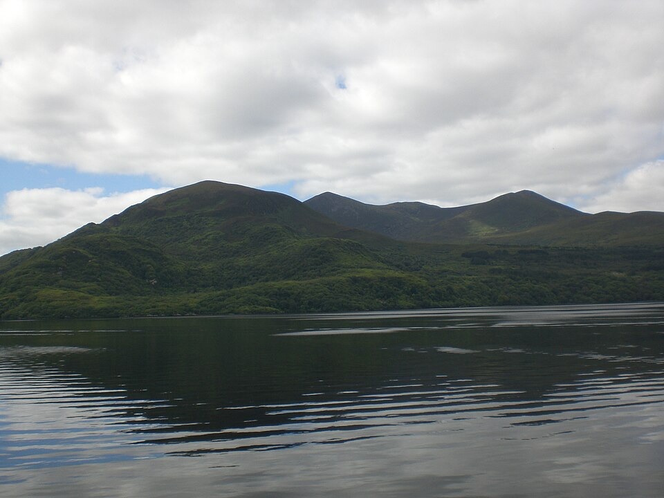
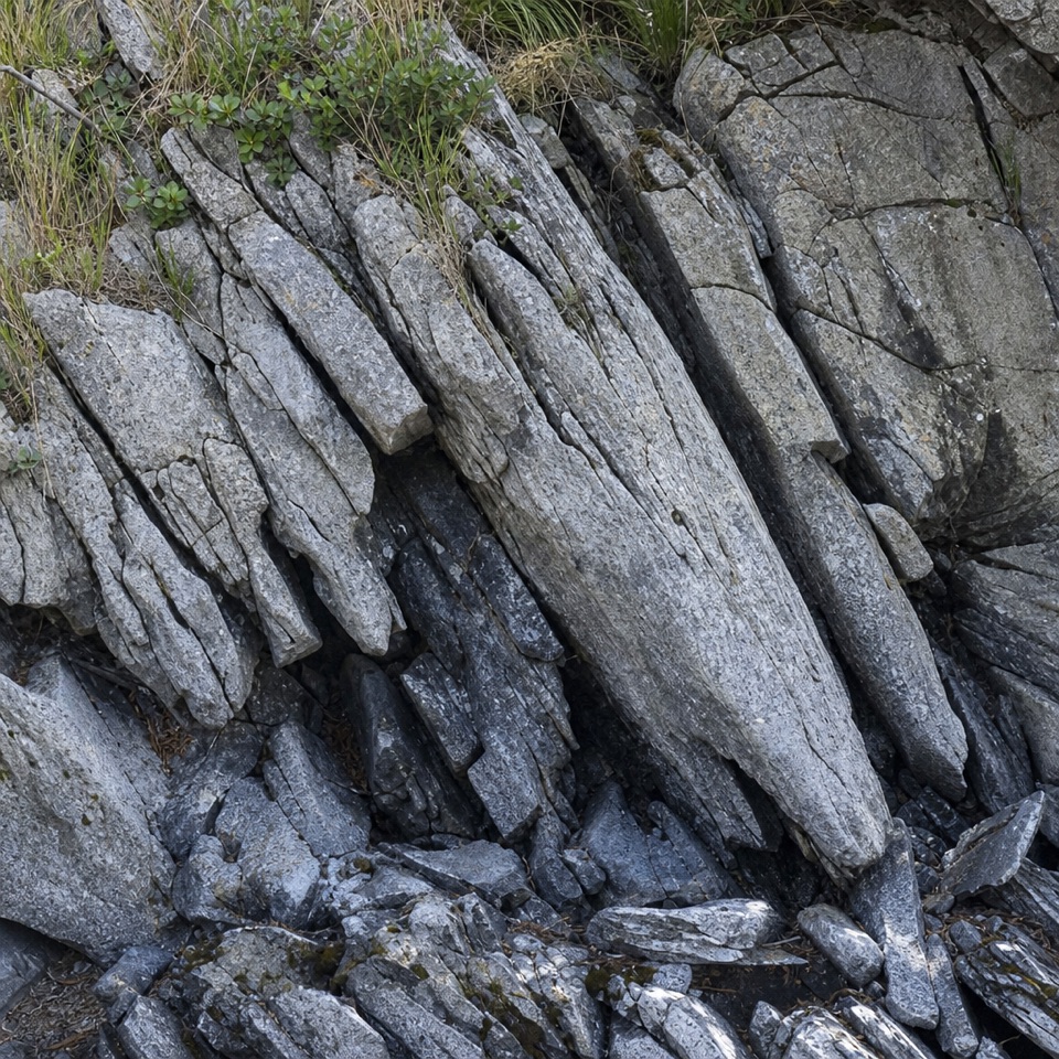
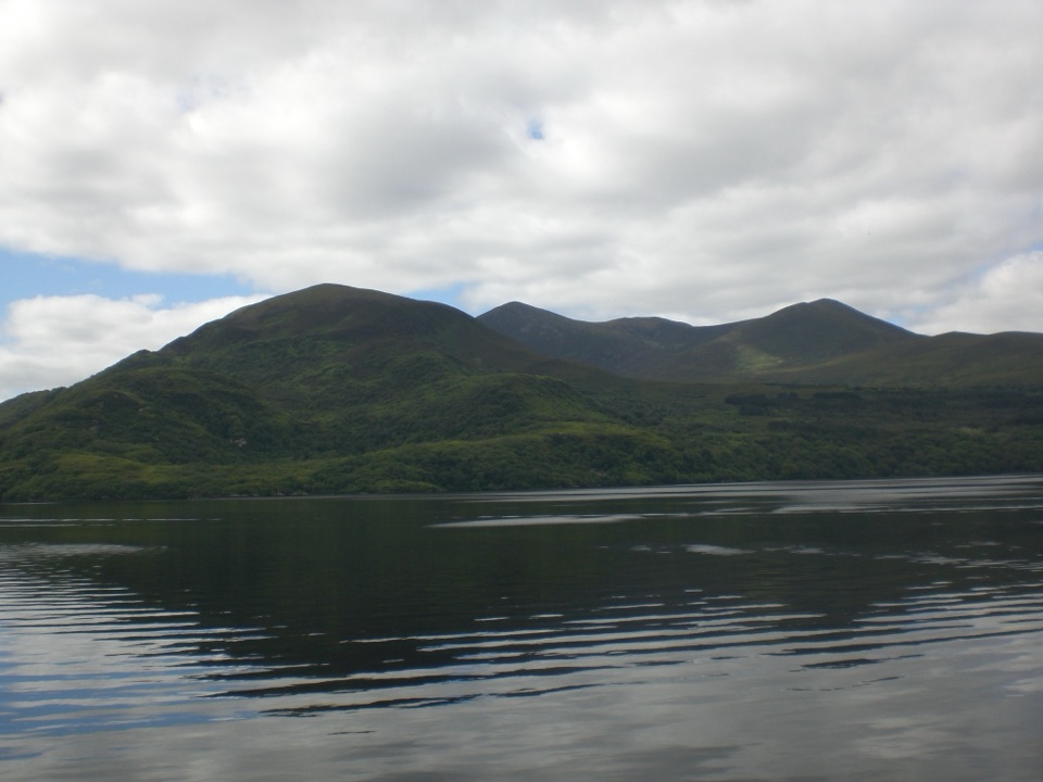
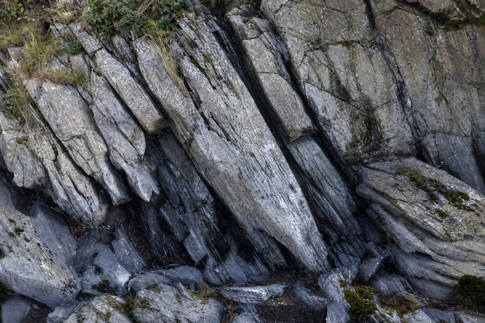
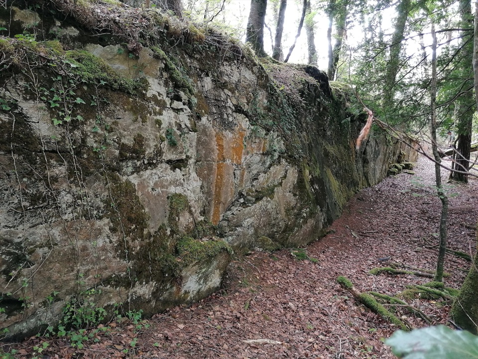
The loop passes a dam wall, shaft openings and interpretation boards before reaching a stony shore on Lough Leane. The Blue Hole is a flooded shaft with green-tinted water; across the lake, the view opens toward Torc and Mangerton. At the shore, include a strip of stones with the mountains across the water to keep the view tied to the mine walk. For a closer photo, frame the copper-stained rock cut beside the path.
Why this mine mattersThe tools were simple by modern standards: miners used shovels made from cattle bone and…
The tools were simple by modern standards: miners used shovels made from cattle bone and hammers of stone cobbles. Researchers think they may also have used fire-setting, heating the rock with wood fires before breaking it with stone tools. That’s an inferred technique, but it gives the flooded cuts and broken rock a human scale.
Wildlife
Wildlife in Killarney
 104 sightingsRed DeerMost seen around 7 AMSighting map
 207 sightingsSika DeerMost seen around 7 AMSighting map
 12 sightingsFeral GoatMost seen around 6 PMSighting map
 49 sightingsSwanMost seen around 7 AMSighting map
 48 sightingsHeronMost seen around 5 PMSighting map
 15 sightingsCormorantMost seen around 8 AMSighting map
Sighting maps show where each species has been reported across Killarney. Wildlife moves, so no sighting is guaranteed.