Best time to go
Rides are typically offered from June to mid-October, weather permitting, and opening dates shift with conditions. Check availability before driving into Cedar Grove, especially late in the season.

Sight · Kings Canyon National Park
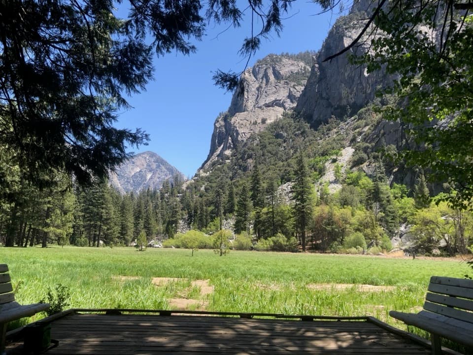
Horseback rides follow the river through Cedar Grove.
Overview
Map
Plan your stop

The highest, rockiest slopes around here are a summer buffet for grizzly bears.
Kings Canyon Tour Guide
Parkwolf is a GPS audio tour guide for Kings Canyon National Park. As you drive, it chimes in with what’s ahead: hidden gems, upcoming stops, history, geology, and wildlife, right through your car’s speakers.
See the Kings Canyon audio tourRecorded for this area
Cedar Grove Village“You're approaching Cedar Grove Village, a useful stop for a meal, supplies, or help planning a canyon walk.”
Plays on the road 0.4 mi from Cedar Grove Pack Station in the Parkwolf Kings Canyon Tour Guide.
More stories near here in the app
“…The kids and my husband and I all agree that the narration really added to our experience driving through the parks. We learned so much about the history and the flora & fauna.”


Guide
Cedar Grove Pack Station is a horseback-riding and wilderness-packing facility just outside Cedar Grove Village. Guided rides range from one hour to a full day; day trips follow the Kings Canyon River. Call ahead and reserve if you want to ride, rather than counting on a walk-in opening.
The station also arranges wilderness spot or dunnage trips, carrying supplies into the backcountry. That makes it useful beyond day rides. Visitors taking their own stock on an overnight trip need a wilderness permit.
Wildlife
 227 sightingsBlack BearMost seen around 7 PMSighting map
 385 sightingsMule DeerMost seen around 7 PMSighting map
 188 sightingsMarmotMost seen around 8 AMSighting map
 118 sightingsPikaMost seen around 7 AMSighting map
 14 sightingsGolden TroutMost seen around 7 PMSighting map
 32 sightingsRainbow TroutMost seen around 7 PMSighting map
Sighting maps show where each species has been reported across Kings Canyon. Wildlife moves, so no sighting is guaranteed.
Keep exploring
 ChallengingCedar Grove Overlook via Hotel Creek Trail4.4 mi · 3.5 hr · 0.3 mi awayA steep 4.4-mile out-and-back to Kings Canyon views
 ModerateHotel Creek–Lewis Creek Loop8 mi · 5 hr · 0.3 mi awayCedar Grove loop with a canyon view and quiet pine stretch.
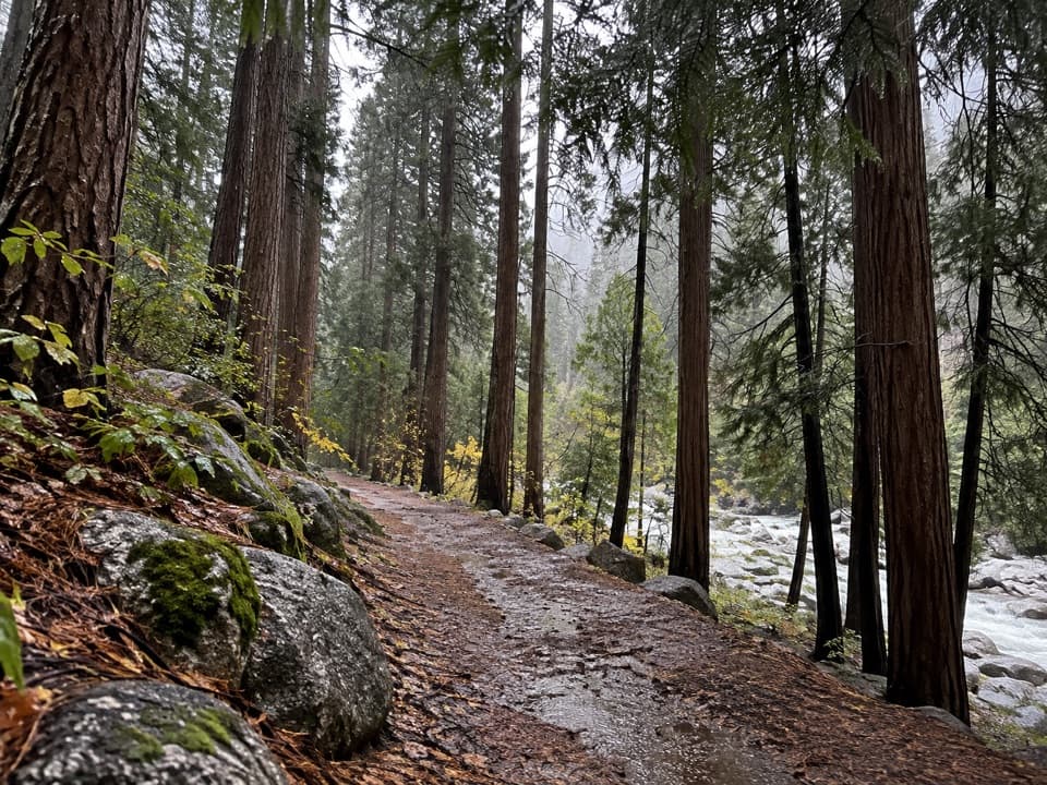 EasyCedar Grove River Road Walk6.6 mi · 2.5 hr · 0.3 mi awayA flat riverside road walk beneath granite cliffs.
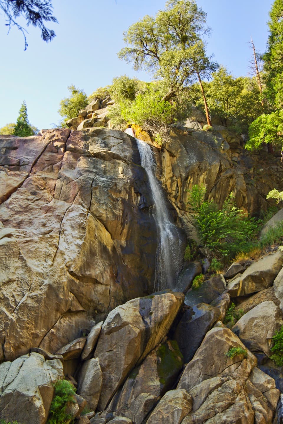
 ModerateSheep Creek Cascade Trail2 mi · 1.5 hr · 0.4 mi awayA short climb to small falls in a shady Cedar Grove ravine.
 ChallengingLookout Peak via Don Cecil Trail11 mi · 8 hr · 0.4 mi awayA long historic climb opens over the whole canyon.
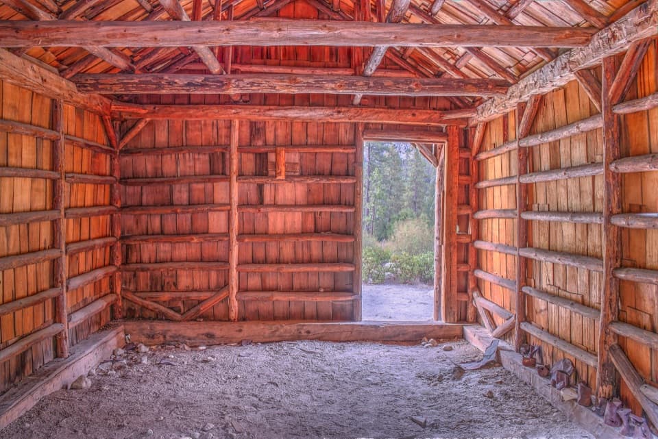 EasyKnapp’s Cabin Trail0.1 mi · 15 min · 1.6 mi awayA tiny cabin stop with a surprisingly big canyon view
 ChallengingLewis Creek Trail to Kennedy Pass19.6 mi · 18 hr · 1.7 mi awayA steep, high-country climb to a broad Sierra pass.
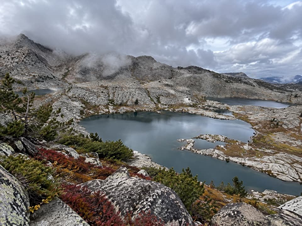 ChallengingVolcanic Lakes Loop37.6 mi · 1.5 days · 1.7 mi awayA chain of granite lakes rewards a long, rough cross-country route.
 0.3 mi awayCedar Grove Showers and LaundryA practical wash-up and laundry stop in Cedar Grove.
 Lodging · 0.3 mi awayCedar Grove Lodge and MarketSeasonal rooms, riverside dining and supplies in the canyon
 Campground · 0.4 mi awayCanyon View Group CampgroundGroup camping beside the South Fork beneath granite canyon walls.
 Sight · 0.4 mi awayCedar Grove AmphitheaterA forest theater for ranger talks when Cedar Grove's program is on.
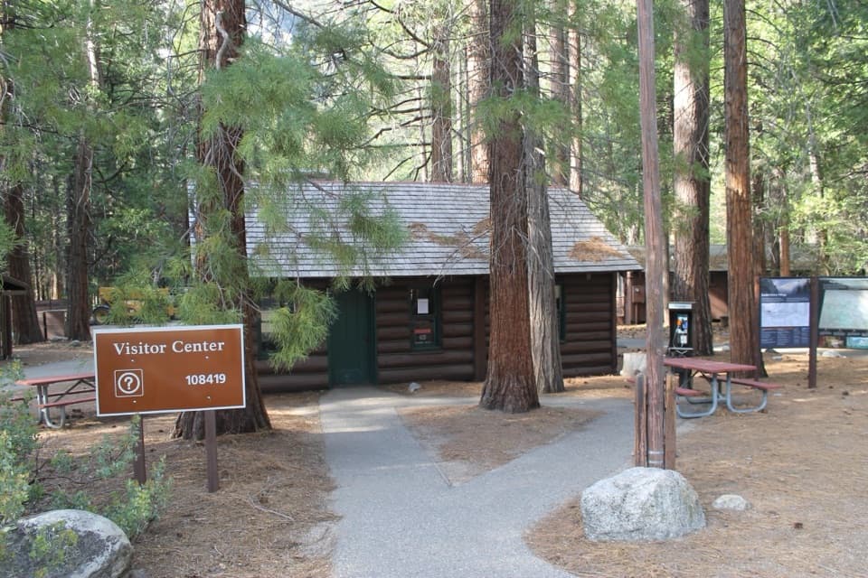 Visitor center · 0.4 mi awayCedar Grove Visitor CenterA handy cabin stop for maps and ranger advice before the canyon.
 Campground · 0.5 mi awayMoraine CampgroundA riverfront base for Cedar Grove's hikes.
 Campground · 0.5 mi awaySentinel CampgroundSleep near the Kings River, with Cedar Grove trails close by.
 Campground · 0.9 mi awaySheep Creek CampgroundA shady riverside base in the heart of Cedar Grove.
Parkwolf’s Kings Canyon ranking

The audio tour guide for the drive, plus offline maps, trails, and wildlife heatmaps for when the signal drops.