Place
Challenging

If you’re craving a raw, little-visited Sierra canyon with towering granite and true solitude, Tehipite Valley delivers. Reached most commonly from the Rancheria Trailhead (past Wishon Reservoir), this is a serious backcountry undertaking into the Middle Fork of the Kings River. Expect a long approach, then a very steep, sustained drop of roughly 3,000 feet into the valley—followed by the same brutal climb out.
Plan on a multi-day backpack. It’s roughly 17 miles one way to reach the Middle Fork in Tehipite Valley; round-trip totals often land in the high 30s or more, depending on camp spurs and side explorations. The descent and re-ascent are the crux: dozens of steep, sometimes loose switchbacks with little respite. This is a demanding route for experienced backpackers with solid navigation and heat management skills.
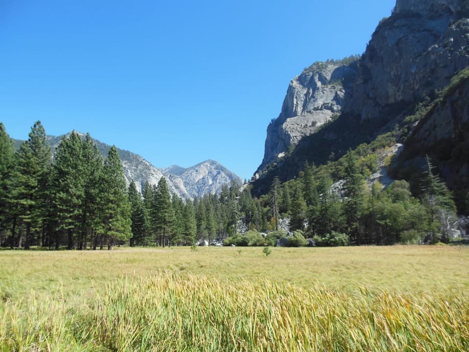
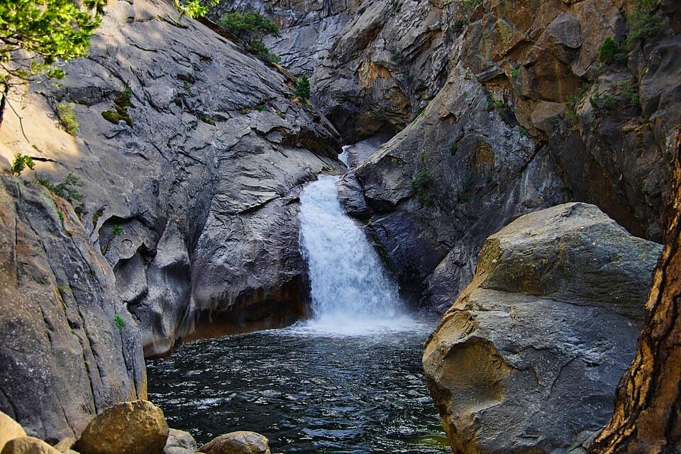
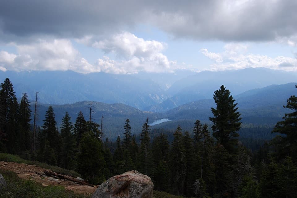
Tehipite Dome dominates the skyline—an immense granite monolith rising more than 3,000 feet above the valley floor. Views from the rim reveal the deep trench of the Middle Fork winding far below. As you drop from high conifer forest, the flora shifts toward warmer, drier species; the valley floor can be lush in places with ferns and seasonal wildflowers, and Crown Creek spills in as Silver Spray Falls near the bottom. Expect a big-wall feel and real Sierra scale without the Yosemite crowds.
From Rancheria, early miles are relatively gentle, passing meadows and stock country toward Crown Valley, but signage can be sparse and crisscrossing paths can confuse—pay attention at key junctions (notably near Johnson’s Cow Camp). Beyond Crown Valley, tread can be faint, with deadfall and short bushwhacks; sections may follow drainages. The final descent into Tehipite is steep, sandy/loose in spots, and relentless. In early season, lingering snow can obscure trail segments and creek crossings can be tricky.
Strong camps exist in the valley near the river, including sandy clearings with established rings and flat pads. En route, meadows like Hay Meadow and areas near Rodgers Creek see use. The Middle Fork offers reliable water, but carry and treat carefully, and plan your hydration for the hot, low valley.
Summer on the valley floor is hot—often punishing—so aim for late summer into fall for more moderate temps. Early season can mean snow patches up high and higher, colder creek crossings; late season can still bring storms. Start early on big days (especially the exit climb) to stay ahead of heat and have light for navigation.
This route is unmaintained in stretches and demands confident route-finding. Expect loose tread on steep switchbacks, possible deadfall, and overgrowth. Rattlesnakes are possible on warm, lower-elevation sections, and bears are active—use proper food storage. Poison oak appears near the valley floor.
Overnight trips require a wilderness permit. If you begin at Rancheria (Sierra National Forest) and enter the park from there, your entry permit comes from the land agency where you start. If you begin inside the park, use the park’s wilderness permit system. During the main quota season (generally from Memorial Day weekend through mid-September), permits must be reserved in advance.
If you’re a seasoned backpacker who embraces steep, loose descents, heat, and unmaintained tread for big granite rewards and true solitude—yes. If you’re newer to long, rough backcountry routes, this one can be more misery than magic. Consider building experience on maintained canyon-and-pass routes first.
Park at the Rancheria Trailhead a few miles past Wishon Reservoir; follow signs toward Crown Valley to begin the approach.
Very steep, loose 3,000 ft switchbacks; hot valley temps; faint/unmaintained tread with deadfall and confusing junctions; early-season snow and tricky creek crossings; bears, rattlesnakes, and poison oak.