
Place · 0 mi away
Challenging
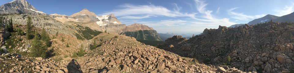
A quiet, under-the-radar pass climb with outsized payoff. Ball Pass delivers front‑row views of Mount Ball, the Ball (South Ball) Glacier, and Isabelle Peak with far fewer people than the park’s headline routes. Expect an 11.1‑mile total out‑and‑back (about 17.8–19 km), roughly 3,133 feet of gain, and a steady, spirited effort that most hikers complete in about 6.5–7.5 hours.
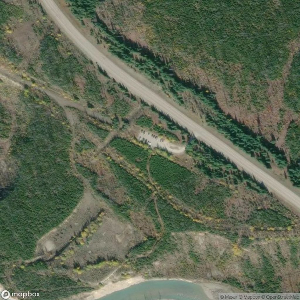
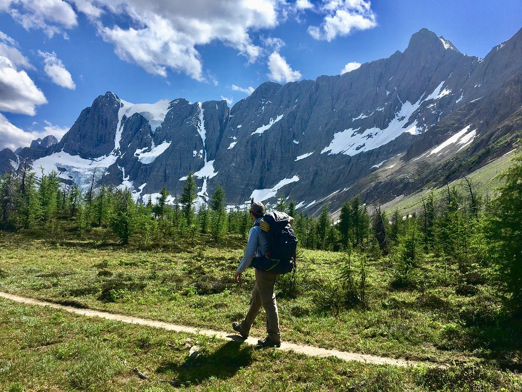
Start at the Floe Lake parking lot on Highway 93 South and cross the highway to pick up the signed Hawk Creek/Ball Pass trail. The first 4 km tunnel through post‑fire regrowth with frequent deadfall—slow, annoying, and the reason many underrate this hike. After a sturdy three‑log bridge around km 4, the character shifts: waterfalls and cascades along Hawk Creek, then rocky traverses below Isabelle Peak. A cooler, mossy forest arrives near km 6.5, leading to broad alpine meadows (wildflowers in July). Push a bit farther to Ball Pass at the BC/Alberta boundary; walk a few minutes east of the pass sign for the money view of Mount Ball and the glacier. That’s the classic turnaround for day hikers.
July through September is the sweet spot: snow is typically gone, meadows bloom in July, and larches light up in mid–late September. Shoulder seasons can hold lingering snow on the rockslide traverses below Isabelle Peak. As of November 16, 2025, higher elevations hold snow/ice, winter conditions are not maintained, avalanche hazard exists, and the Floe Lake parking lot is closed for the season.
Arrive early: the Floe Lake lot is small and serves multiple popular trails; legal highway‑shoulder parking is a backup when it’s busy (in summer). Water is frequent along Hawk Creek and side streams, but treat everything. Trekking poles help with deadfall step‑overs and the rocky bits. Dogs are permitted on leash—keep them close in bear country.
If you can tolerate a scrappy first hour through burn regrowth, yes—hugely. The crowd‑free alpine, big‑mountain drama, and quick extra stroll past the pass sign to the glacier viewpoint make Ball Pass one of the park’s most rewarding, underrated day hikes.
Floe Lake parking lot on Highway 93 South; the trail starts across the highway. The lot is small and fills early in summer; legal highway‑shoulder parking is a backup. Closed in winter.
Expect significant deadfall in the lower burn, occasional overgrowth, and poor signage. Grizzly activity in upper meadows—carry bear spray and make noise. A short rockslide section below Isabelle Peak presents brief avalanche exposure in snow. Winter brings unmaintained conditions, snow/ice, avalanche danger, and seasonal closure of the Floe Lake lot (noted November 16, 2025).
Place · 0 mi away
Place · 0 mi away
Place · 4 mi away
Place · 4.3 mi away
Challenging · 0 mi away
Challenging · 0 mi away
Challenging · 0 mi away
Challenging · 4.9 mi away

Parkwolf Tour Guide
