Floe Lake Trailhead Day-Use Area

Signed trailhead for the tough, rewarding Floe Lake hike
Floe Lake Trailhead Day-Use Area, Kootenay National Park
InsideKootenay National Park

Overview

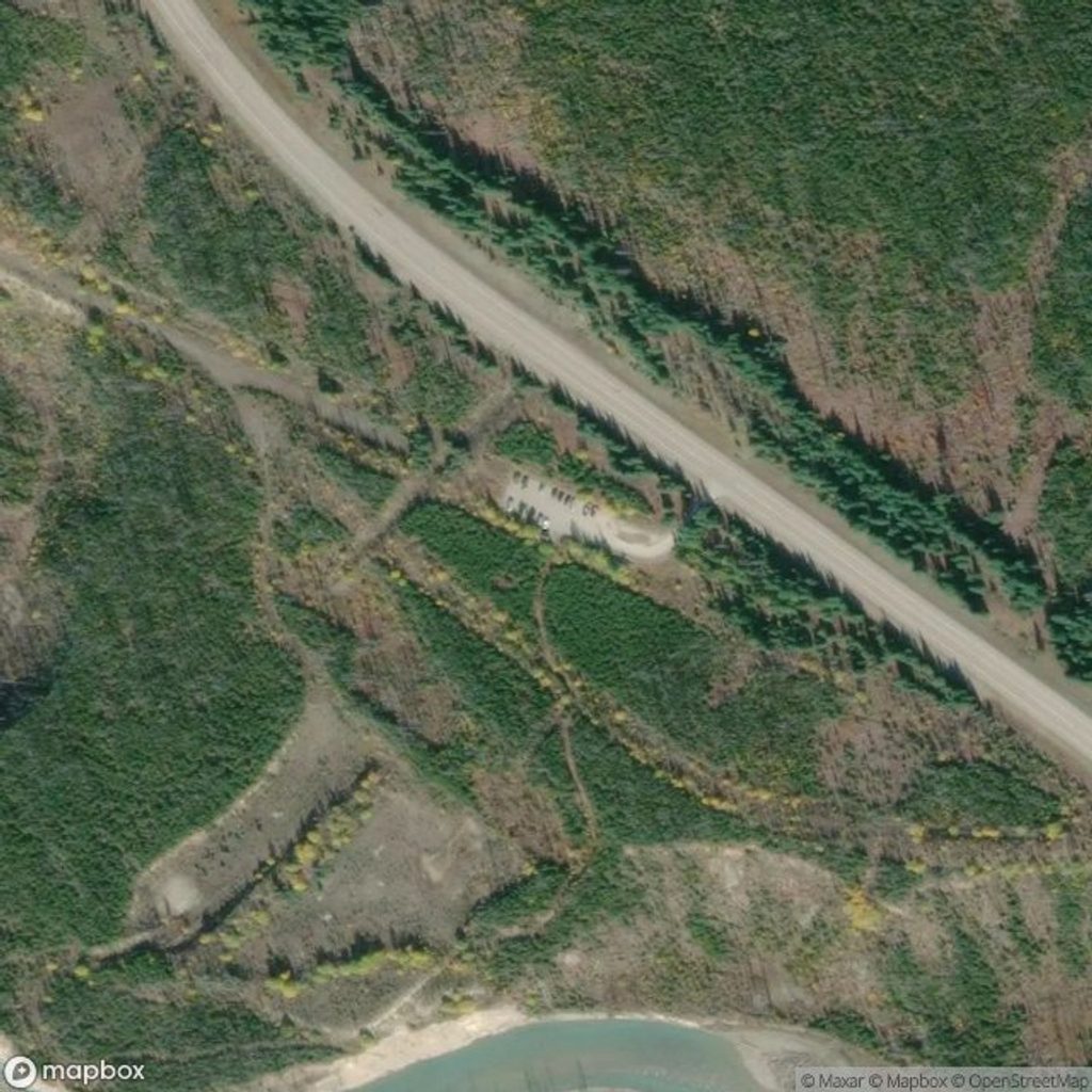
This small, signed lot on Highway 93S is the jump-off point for one of the Rockies’ marquee backcountry hikes. Expect basic but useful amenities (pit toilets and trash bins), no potable water, and no cell service. From here, you’re straight onto the Floe Lake trail, which also forms a prime segment of the multi-day Rockwall.

What the hike is like (quick read)

  • Distance and effort: roughly 20–21 km round trip with about 800–975 m of total gain. Most hikers report 3–5 hours each way; 7–8 hours total is common for strong day hikers.
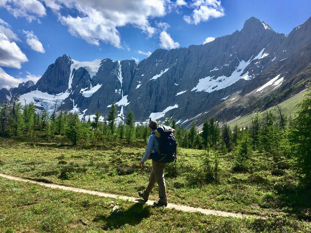
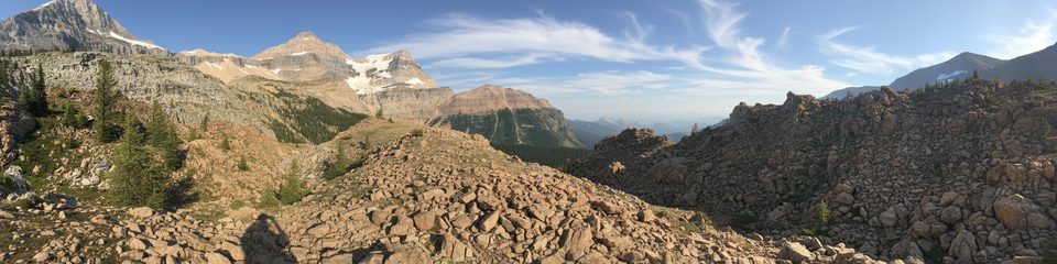
  • Route character: a couple of bridged crossings early, then a long traverse through historic burn (big views, little shade), and a steep final ~2 km of switchbacks to the lake.
  • Water and refills: limited access en route until around the mid-trail creek; most people treat or filter from the lake at the end.
  • Add‑on: from the lake, a popular spur continues to Numa Pass for sweeping 360° views (adds time, distance, and gain).

Trailhead logistics

  • Parking: the lot fills in peak season; overflow parking is along the highway shoulder—use caution with fast-moving traffic.
  • Facilities: pit/vault toilets and trash bins at the trailhead; no potable water.
  • Passes and permits: day hikers don’t need a backcountry permit, but you must display a valid national park pass in your vehicle.
  • Connectivity: no cell service at the trailhead, on Highway 93S, or at the lake—download maps and consider a satellite communicator.

Wildlife and safety

Bears are common in this corridor (grizzlies have been seen in fall). Carry bear spray and know how to use it, make noise, and store food properly if you linger for meals. Dogs are allowed but must remain leashed. Long, sun-exposed sections through the burn can be hot—pack sun protection and sufficient water carry.

Scenery and seasonality

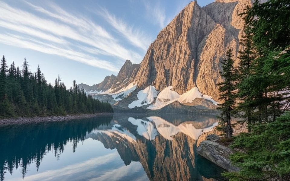
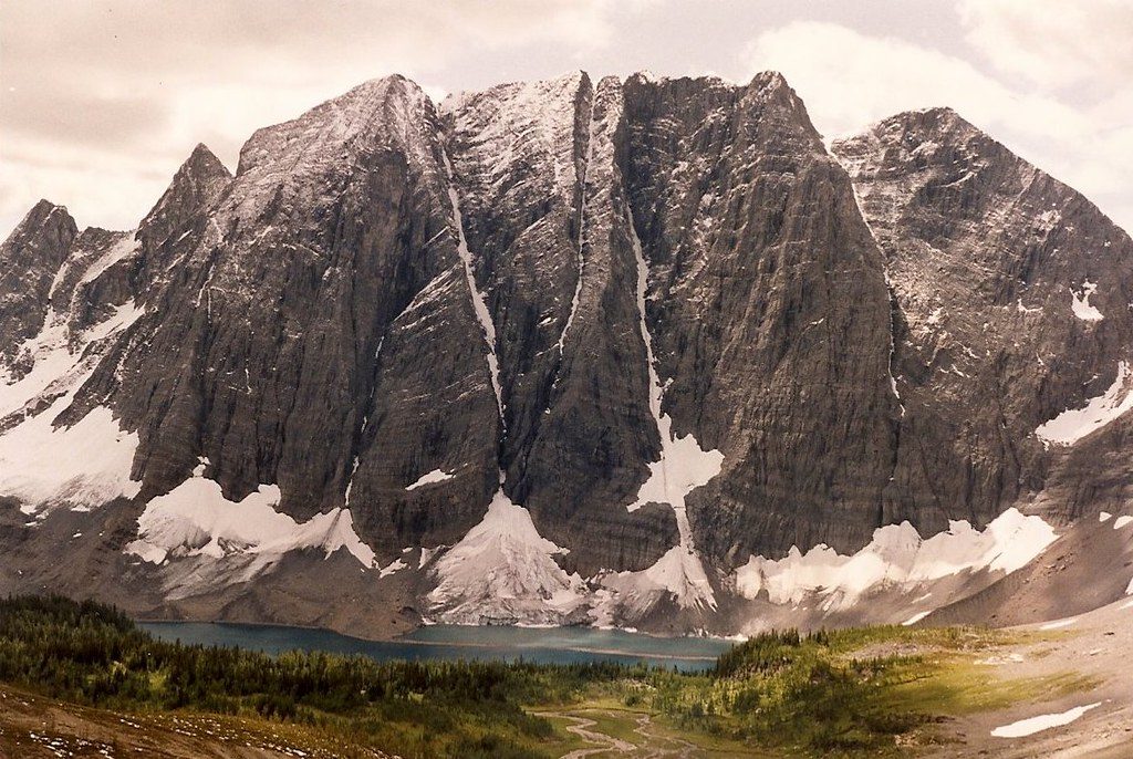
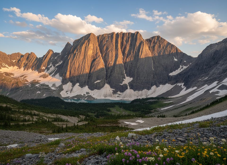
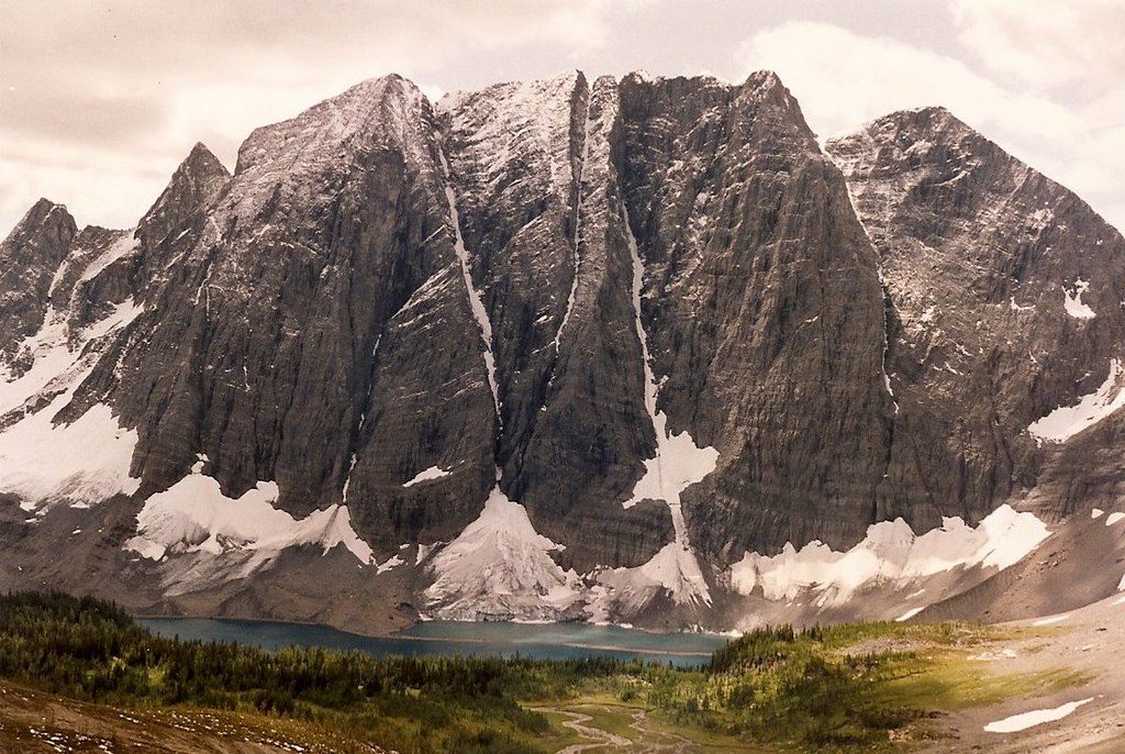
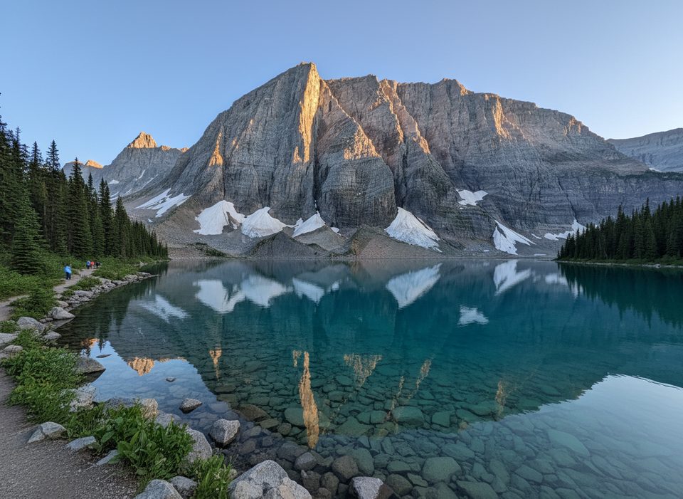
The approach through burn opens big mountain views; summer brings wildflowers and the lake’s striking turquoise color, while early fall often lights up nearby larches. Morning typically offers the best photography at the lake before Floe Peak casts heavy afternoon shade.

Best time to visit

Aim for mid-July through September for the most reliable, snow-free conditions. Start early in peak season to secure parking and to enjoy cooler temps and better light. The trailhead has no gate and is effectively available around the clock, making alpine starts easy.

Quick tips

  • Wear long pants if brushy sections bother you.
  • Treat or filter all natural water.
  • If weather or energy wanes, turning around before the final steep push is a perfectly good day—views are rewarding throughout the burn zone.

Pros

  • Direct access to the Floe Lake and Rockwall route
  • Pit toilets and trash bins at the parking area
  • Signed pullout right off Highway 93S

Cons

  • Parking fills early in peak season; overflow is along the highway shoulder
  • No potable water on site
  • No cell service at the lot or on the trail

Tips

  • Arrive early in summer—the small lot fills quickly.
  • Display a valid Parks Canada pass on your dashboard.
  • Bring all the water you need; there is no tap at the trailhead.
  • Download offline maps and carry bear spray—there’s no cell coverage.
  • Expect long sun-exposed stretches through burn; pack hat, sunscreen, and extra water.
The Parkwolf tour guide sitting on a phone mounted in a car

Parkwolf Tour Guide

Like a tour guide in your car.

Save the places you found around Kootenay, then let Parkwolf guide the drive between them.Download Parkwolf on the App Store