Helmet Falls

Big backcountry waterfall with a long, mellow approach
Helmet Falls, Kootenay National Park
InsideKootenay National Park

Overview

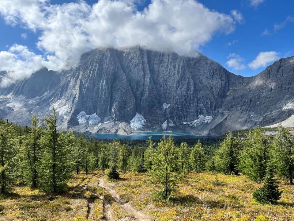
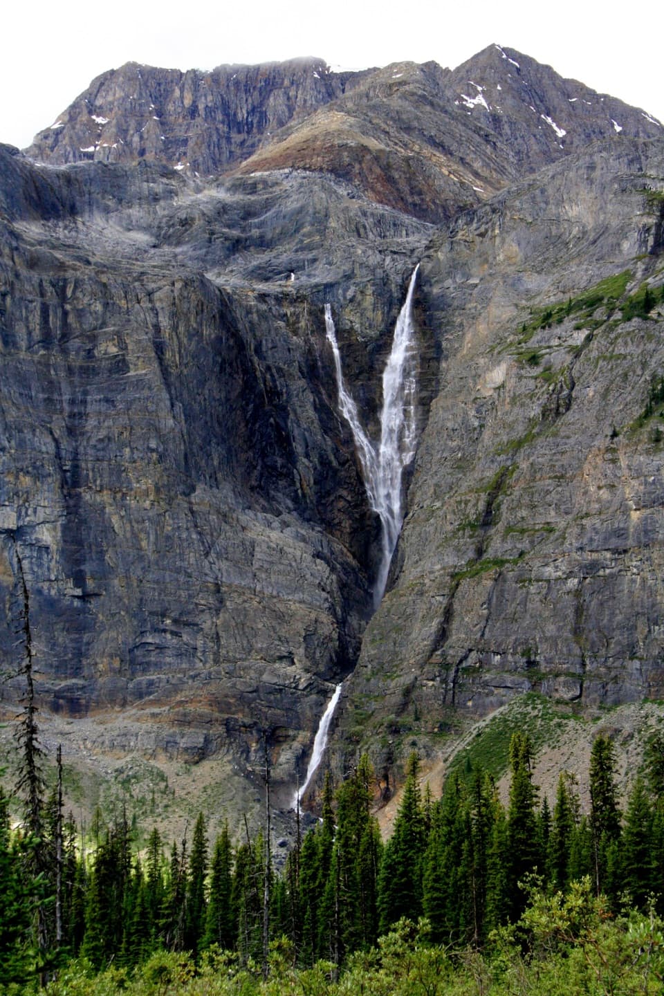
Helmet Falls is a big backcountry waterfall tucked under the limestone cliffs of the Rockwall. Most hikers reach it from the Paint Pots trailhead on Highway 93, making it a rewarding first night on the Rockwall traverse or a very long out‑and‑back day. Expect a mellow grade, forest walking, rushing creeks, and that dramatic cliff band rising high above the valley.

Getting There & Route

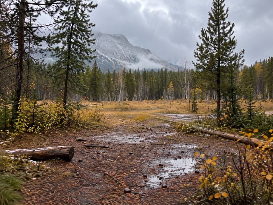
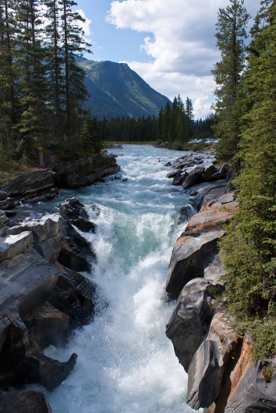
From Paint Pots, it’s roughly 14.5 km one way with about 336 m of elevation gain to the Helmet Falls campground area. The trail crosses the Vermilion River and the ochre‑stained Paint Pots early on, then follows forested singletrack with an open avalanche path and a signed Tumbling/Helmet junction. You’ll cross Ochre Creek near 6 km and pass the Helmet–Ochre Junction Campground. Farther on, cross Helmet Creek, traverse above it, and take a suspension bridge around 12.5 km. Pass the Goodsir Pass junction and the Helmet Creek Warden Cabin before reaching the Helmet Falls Campground; a faint ~500 m spur leads to the best waterfall viewpoint.

What You’ll See

  • The ochre‑rich Paint Pots and colorful streambeds at the start.
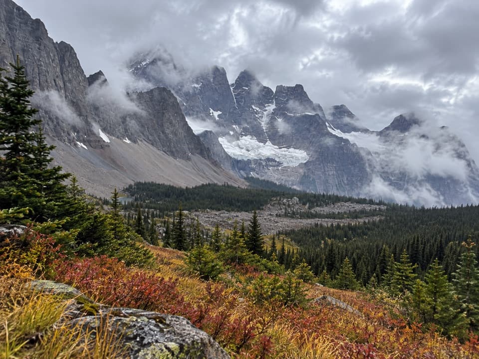
  • Broad views of the Rockwall’s sheer limestone cliffs, subalpine meadows, moraines, and turquoise ponds as you near the falls.
  • Limestone Peak looming above the valley and the thundering cascade of Helmet Falls itself.

Day Hike or Backpack?

As a day trip, you’re looking at roughly 30 km total—manageable grades but a strenuous distance. As an overnight, it’s a very reasonable first day of the Rockwall, with the bonus of a front‑row campsite near the falls.

Campground Amenities

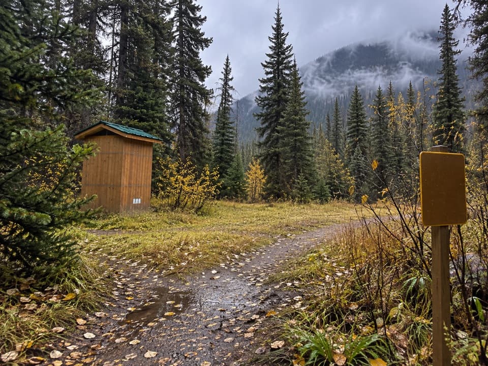
At Helmet Falls’ designated backcountry campground you’ll find defined tent pads, picnic tables in a cooking area, wildlife‑proof food storage, and pit toilets. Collect water from natural sources and treat it. Campfires are not permitted anywhere in Kootenay’s backcountry.

Season & Conditions

The approach is generally snow‑free from late July to mid‑September. Snow can linger into late June and return any month at higher elevations. September tends to be drier but colder. From October to mid‑July there’s avalanche hazard on higher sections of the Rockwall, and campground bookings are not accepted in that period.

Wildlife & Safety

This is active bear country (black and grizzly). Carry bear spray, make noise, store all attractants in the provided lockers, and keep dogs leashed. There’s little to no cell service; consider a satellite communicator and always treat drinking water.

Permits & Rules

No booking is needed if you’re day‑hiking and returning the same day. For backpacking, reserve designated backcountry campgrounds in advance. Each site allows one tent and up to four people, with a maximum stay of three consecutive nights; groups up to 10 people (5 tents) can be reserved. Random camping and campfires are prohibited.

Parking & Shuttles

Parking at Paint Pots, Floe Lake, and Numa Creek is limited—arrive early. There’s no official shuttle between Rockwall trailheads; arrange a two‑car shuttle, bike the highway shoulder, or consider hitching at the start.

Best Time to Visit

Aim for late July through mid‑September when the route is typically snow‑free. Start early to beat parking crunch and to give yourself plenty of time for the long approach. Weekdays are quieter.

Pros

  • Backcountry campground with bear lockers, picnic tables, and pit toilets
  • Long but mostly gentle approach with classic Rockwall scenery

Cons

  • About 14.5 km one way from the nearest trailhead
  • No campfires anywhere in the backcountry; bring a stove

Tips

  • Start at dawn if day‑hiking; 30 km round trip takes time.
  • Download offline maps—there’s no reliable cell service on the route.
  • Look for the faint ~500 m spur near camp for the best waterfall viewpoint.
  • Store all food and toiletries in the campground bear lockers.
  • If traversing the Rockwall, arrange your car shuttle before you hike.
The Parkwolf tour guide sitting on a phone mounted in a car

Parkwolf Tour Guide

Like a tour guide in your car.

Save the places you found around Kootenay, then let Parkwolf guide the drive between them.Download Parkwolf on the App Store