Goodsir Pass Side Trip in Kootenay National Park

Kootenay National Park, BC

Goodsir Pass Side Trip

A steep climb to a high pass beneath the jagged Goodsir peaks.

Length
9km
Time
5hr
Elev. change
430m
Difficulty
Challenging
  • Dogs allowed
  • High point 2,214 m
  • #11 of 38 in Kootenay
Parkwolf audio tour49 stories across Kootenay’s roads

Overview

About Goodsir Pass Side Trip

Why go

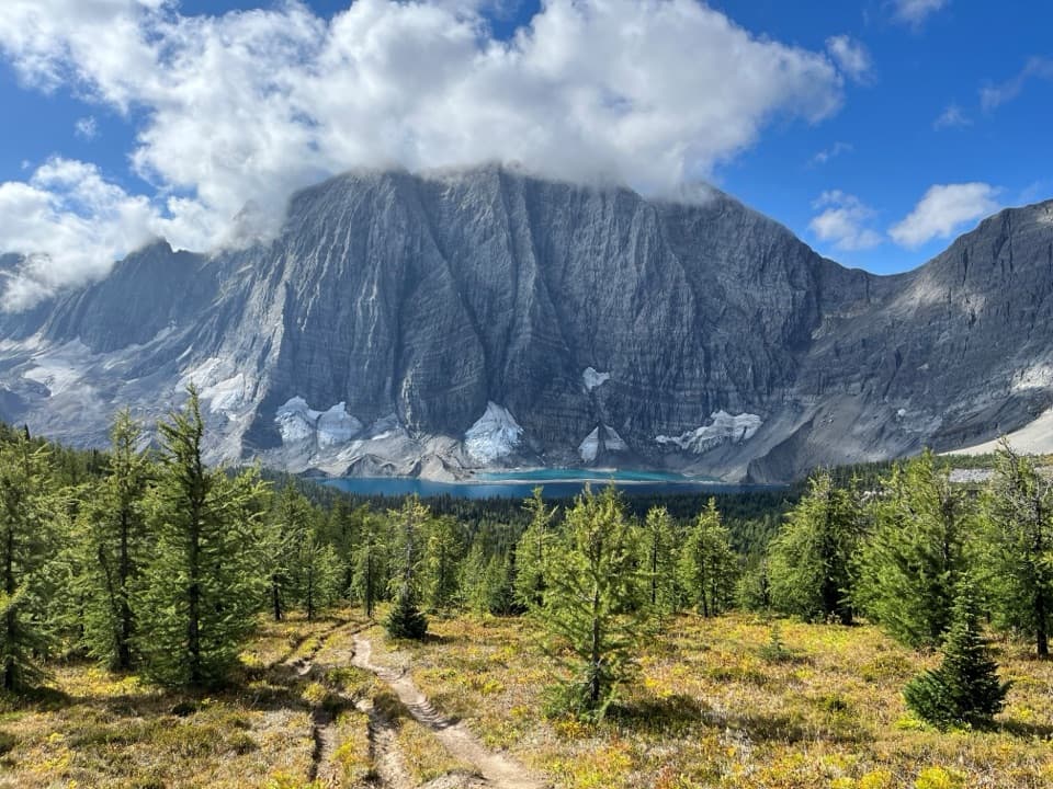
  • Larch meadows and views toward the Goodsir peaks
  • A quiet high-country side trip from the Rockwall

Heads up

  • Requires reaching a remote backcountry campground first
  • Steep climb with limited route maintenance
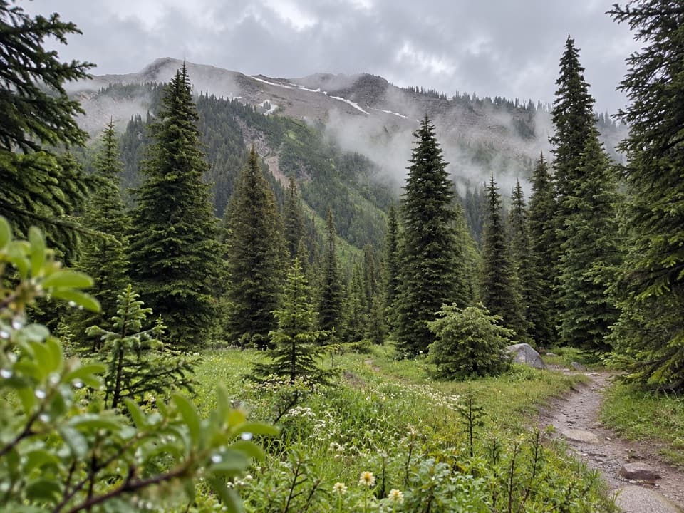
Goodsir Pass Side Trip is an about 5.6-mile out-and-back from Helmet Falls backcountry campground to a high alpine saddle beneath the Goodsir peaks. The mapped corridor is roughly 2.8 miles each way, climbing about 430 m; allow around five hours round-trip from camp. It is a hard, remote extra day for backpackers already on the Rockwall, with larch meadows and alpine slopes as the trees thin. The pass gives you a clear view toward the jagged Goodsir peaks. A published side-trip figure rounds the return walk to five miles; the mapped line is longer, so plan for about 5.6 and leave extra time for snow or slow footing. This distance covers only the camp-to-pass excursion, not the long approach to Helmet Falls.
Parkwolf’s verdictIs this side trip for you?

Map & elevation

The route

Loading the Kootenay map
Full map
Elevation1,784–2,214 m
TrailheadHelmet Falls backcountry campground51.19559, -116.30532
Keep this map with you offline in the Parkwolf app

Plan your hike

Before you go

Parking

No road access at the starting campground. Begin at Helmet Falls backcountry campground; reach it on foot from Paint Pots parking lot, 84 km east of Radium Hot Springs, via a 14.2 km one-way approach. Backcountry campsite reservations and permits apply.

Safety

This is a steep, remote high-country route with limited maintenance; deadfall or snow may obscure the tread. Carry navigation and be prepared to ford streams. A backcountry permit and campsite reservation are needed for overnight access to Helmet Falls.

5 active Kootenay alerts

  • ClosureWatercraft and angling prohibitedWatercraft and angling are prohibited on every waterbody in Kootenay National Park until March 31, 2027, to reduce the spread of aquatic invasive species (AIS), including whirling disease.Official details
  • ClosureSinclair Canyon construction closures and delaysRepairs to the Sinclair Creek Rock Tunnel and rehabilitation of the retaining wall at Sinclair Canyon require construction closures; expect alternating single-lane traffic on Highway 93S and…Official details
See all 5 alerts
A park ranger sits on a dash-mounted phone, talking, as Parkwolf’s Tour Guide plays “Army Cutworm Moths: A Grizzly Bear Buffet” on Grand Loop Road below Dunraven Pass in Yellowstone
Parkwolf Tour GuideThe highest, rockiest slopes around here are a summer buffet for grizzly bears.

Kootenay Tour Guide

Your drive to Goodsir Pass Side Trip, narrated.

Parkwolf is a GPS audio tour guide for Kootenay National Park. As you drive, it chimes in with what’s ahead: hidden gems, upcoming stops, history, geology, and wildlife, right through your car’s speakers.

See the Kootenay audio tour
  • 49 audio storiesacross Kootenay’s roads, triggered by GPS as you drive
  • Wildlife heatmapsfor Grizzly Bear, Gray Wolf, Moose, and 13 more
  • Works offlinemaps, 38 trails, 29 places, and audio download before you lose signal
  • CarPlay readysimple controls built for the drive
★★★★★
“Fantastic app with many points of information… It’s great to just turn on while you’re driving and it gives you an audio tour of the national Park. We love it!!!!”
JMJamesApp Store review
Download Parkwolf on the App StoreGet Parkwolf on Google Play

4.7 from 8,600+ ratings

Trail guide

Hiking Goodsir Pass Side Trip

Reaching the startThe starting point is Helmet Falls backcountry campground, deep on the Rockwall.

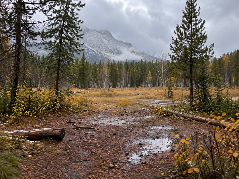
The starting point is Helmet Falls backcountry campground, deep on the Rockwall. The nearest drive-to access is the Paint Pots parking lot, 84 km east of Radium Hot Springs; the walk from there to camp is 14.2 km one way and is normally a two-to-three-day return outing. Treat Goodsir Pass as a side trip while staying at camp, not a roadside day hike. Reserve a designated backcountry campsite and carry the required permit before setting out. Bring food for the overnight; there is no store or café on this remote route. Dogs are allowed in the backcountry on leash.

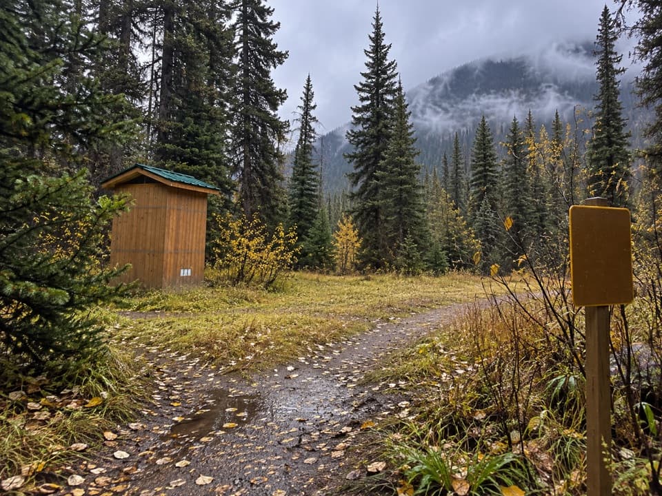
The climb to the passFrom camp, follow the route past the former warden cabin to the Goodsir Pass junction.

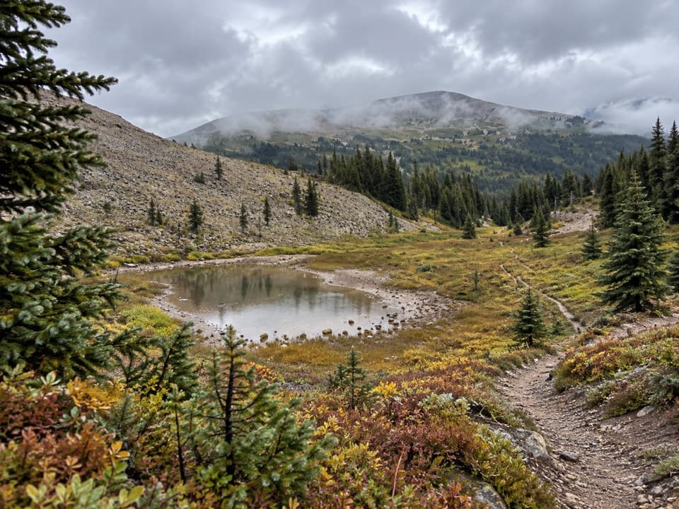
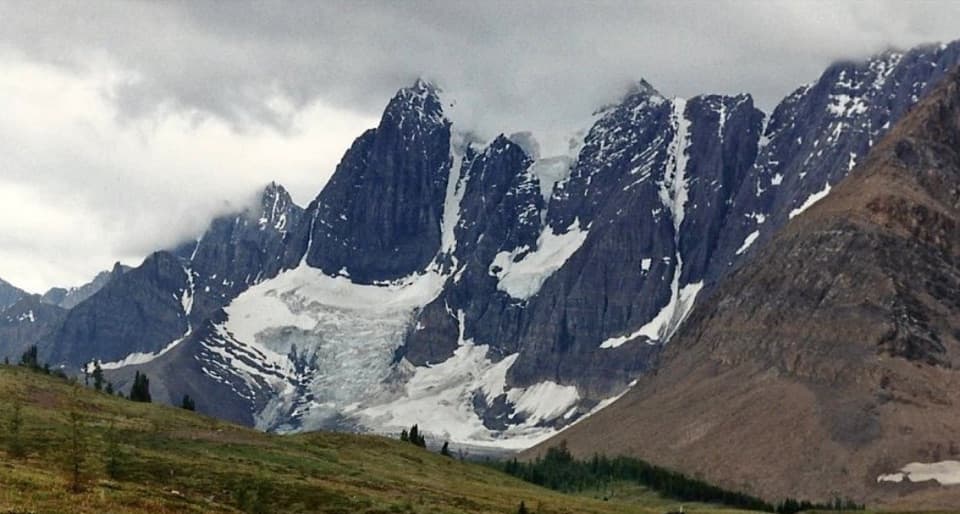
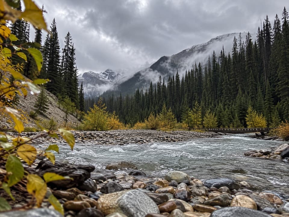
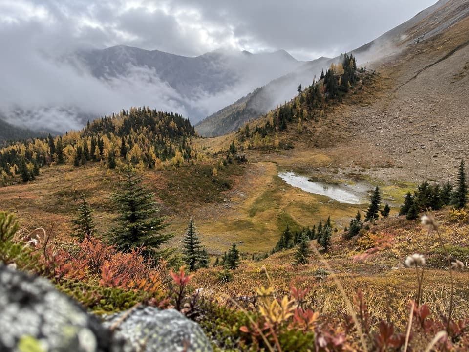
From camp, follow the route past the former warden cabin to the Goodsir Pass junction. The side trail climbs through a series of switchbacks, rising from forest into subalpine larch meadows and open alpine slopes. A through-hiker described the tread as good in places but noted deadfall; expect a quieter, less-traveled route than the main Rockwall. The last climb is the effort of the outing. At the top, the larches frame the steep-sided Goodsir peaks and their glacier-cut slopes. Marmots may be seen around the pass. For a photo, keep the meadow in the foreground so the peaks have a sense of scale.

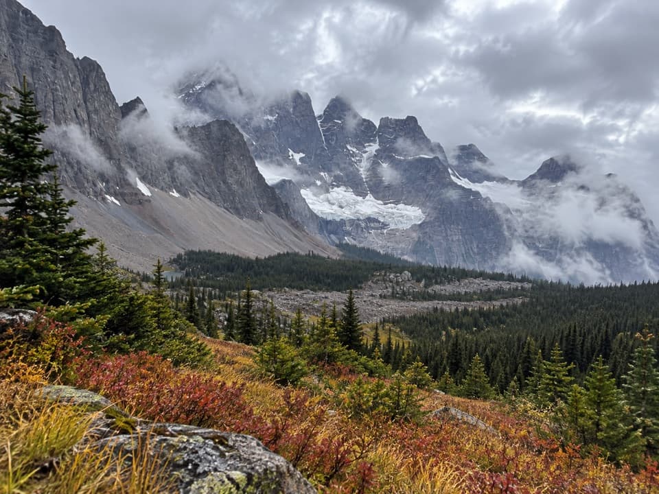
Turn around at the saddleGoodsir Pass lies on the Great Divide Trail, where the route leaves the Kootenay Rockwall and…

Goodsir Pass lies on the Great Divide Trail, where the route leaves the Kootenay Rockwall and continues into Yoho toward McArthur Creek and Field. That is a separate through-hike with its own route and logistics. This trail record is the camp-based out-and-back: turn around at the pass and retrace your steps to Helmet Falls.

Snow, water and navigationHigh passes can remain snowbound until late June, and snow is possible at elevation during…

High passes can remain snowbound until late June, and snow is possible at elevation during July, August and September. July and August are the prime backcountry months, but do not count on a snow-free tread. Remote routes here may not be regularly maintained. Carry a map and navigation device, and be ready to ford streams. Check current conditions before leaving camp; conditions can change faster than the long approach allows you to turn back.

Wildlife

Wildlife in Kootenay

All Kootenay wildlife maps

Sighting maps show where each species has been reported across Kootenay. Wildlife moves, so no sighting is guaranteed.

Keep exploring

Near Goodsir Pass Side Trip

See it all on the map

Trails that start nearby

Places near the trailhead

Parkwolf’s Kootenay ranking

Top-rated trails in Kootenay

All 38 trails
  1. 1Rockwall TrailChallenging · 54.1 km
  2. 2Floe LakeChallenging · 21.6 km
  3. 3Stanley GlacierModerate · 8.8 km
  4. 4Marble CanyonEasy · 1.8 km
  5. 5Paint Pots TrailEasy · 2 km
  6. 6Kindersley-Sinclair LoopChallenging · 16.3 km

Take Parkwolf to Kootenay.

The audio tour guide for the drive, plus offline maps, trails, and wildlife heatmaps for when the signal drops.

4.7 from 8,600+ ratings

Download Parkwolf on the App StoreGet Parkwolf on Google Play