Helmet Falls Campground in Kootenay National Park

Campground · Kootenay National Park

Helmet Falls Campground

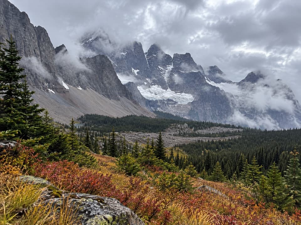
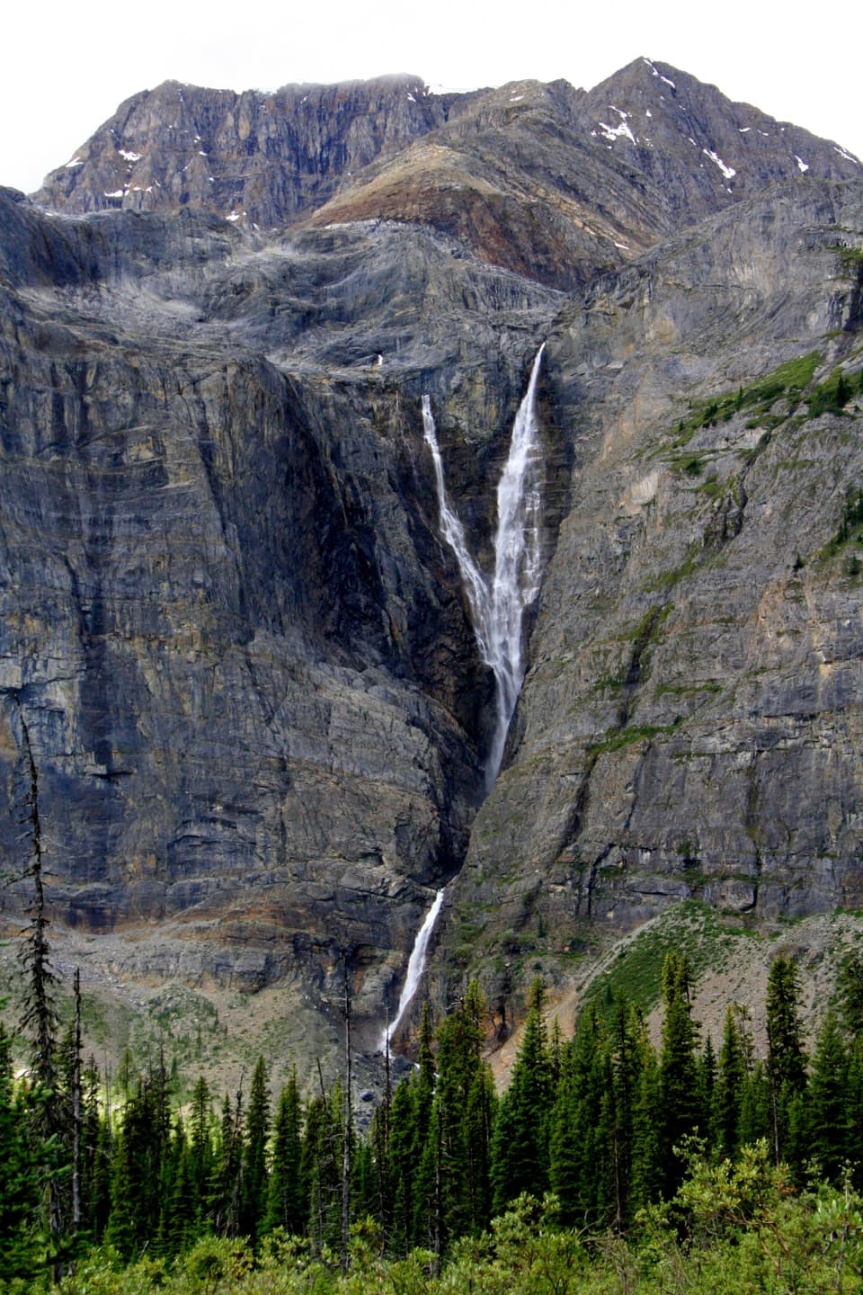
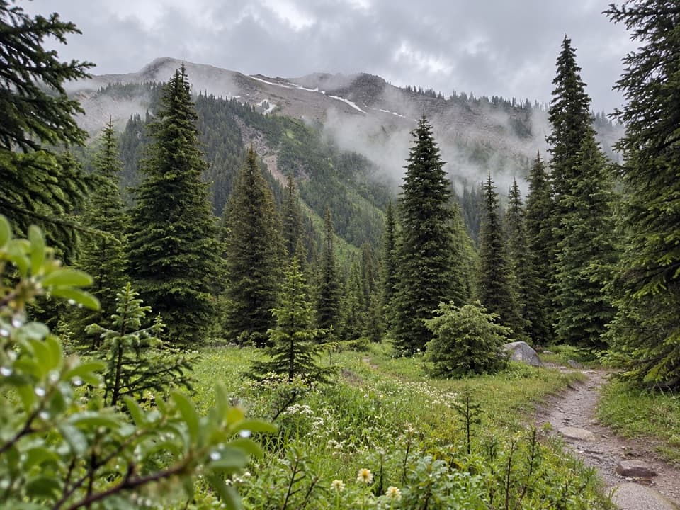
A remote tent camp with Helmet Falls in view.

Type
Campground
Nearest trail
Right here
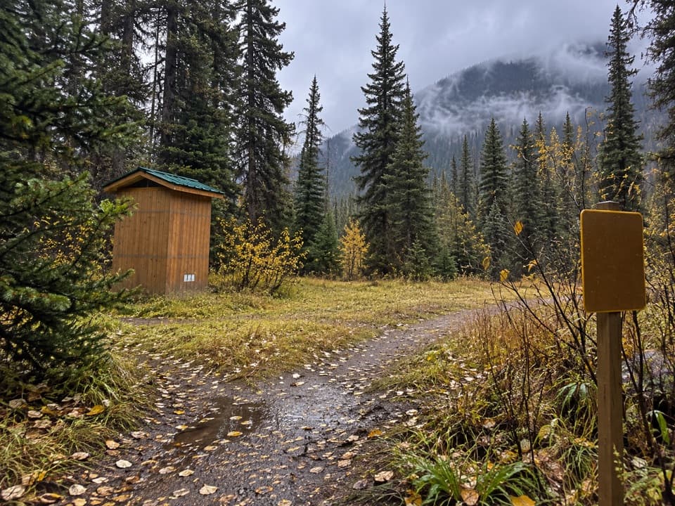
  • Restrooms
  • Picnic tables
Parkwolf audio tour49 stories across Kootenay’s roads

Overview

About Helmet Falls Campground

Why stop

  • Helmet Falls and Limestone Peak views from camp

Heads up

  • The 14.2 km hike from Paint Pots makes this a full backcountry commitment

Map

Where it is

Loading the Kootenay map
Full map
CampgroundHelmet Falls Campground51.19559, -116.30532
Keep this map with you offline in the Parkwolf app

Plan your stop

Before you go

5 active Kootenay alerts

  • ClosureWatercraft and angling prohibitedWatercraft and angling are prohibited on every waterbody in Kootenay National Park until March 31, 2027, to reduce the spread of aquatic invasive species (AIS), including whirling disease.Official details
  • ClosureSinclair Canyon construction closures and delaysRepairs to the Sinclair Creek Rock Tunnel and rehabilitation of the retaining wall at Sinclair Canyon require construction closures; expect alternating single-lane traffic on Highway 93S and…Official details

See all 5 alerts
A park ranger sits on a dash-mounted phone, talking, as Parkwolf’s Tour Guide plays “Army Cutworm Moths: A Grizzly Bear Buffet” on Grand Loop Road below Dunraven Pass in Yellowstone
Parkwolf Tour GuideThe highest, rockiest slopes around here are a summer buffet for grizzly bears.

Kootenay Tour Guide

Your drive to Helmet Falls Campground, narrated.

Parkwolf is a GPS audio tour guide for Kootenay National Park. As you drive, it chimes in with what’s ahead: hidden gems, upcoming stops, history, geology, and wildlife, right through your car’s speakers.

See the Kootenay audio tour
  • 49 audio storiesacross Kootenay’s roads, triggered by GPS as you drive
  • Wildlife heatmapsfor Grizzly Bear, Gray Wolf, Moose, and 13 more
  • Works offlinemaps, 38 trails, 29 places, and audio download before you lose signal
  • CarPlay readysimple controls built for the drive
★★★★★
“Fantastic app with many points of information… It’s great to just turn on while you’re driving and it gives you an audio tour of the national Park. We love it!!!!”
JMJamesApp Store review
Download Parkwolf on the App StoreGet Parkwolf on Google Play

4.7 from 8,600+ ratings

Guide

More about Helmet Falls Campground

The camp on the RockwallHelmet Falls Campground is a remote backcountry tent camp on Kootenay’s 54.

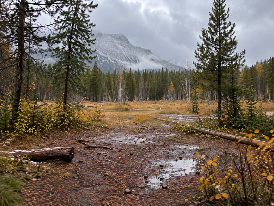
Helmet Falls Campground is a remote backcountry tent camp on Kootenay’s 54.1 km Rockwall route, tucked among trees below steep limestone peaks. Helmet Falls is visible from camp, so the reward is staying in the mountain setting, not making a quick stop for the waterfall. Save it for a multi-day hike, not a roadside visit.

The hike is the commitmentFrom the Paint Pots parking lot, the campground is 14.

From the Paint Pots parking lot, the campground is 14.2 km one way, with 795 m of climbing and 465 m of descent. Parks Canada lists this as a two-to-three-day return trip. A backcountry permit and park pass are required, and most camp locations need advance reservations in July through September. The main hiking season is June to October; higher passes can stay snowbound into late June.

Set up at campExpect 18 tent pads among the trees, pit toilets, food lockers, and shared tables and benches…

Expect 18 tent pads among the trees, pit toilets, food lockers, and shared tables and benches set away from the sleeping area. Helmet Creek runs along the campground; bring a filter or treatment for water. Campfires aren’t allowed anywhere in the backcountry.

Wildlife

Wildlife in Kootenay

All Kootenay wildlife maps

Sighting maps show where each species has been reported across Kootenay. Wildlife moves, so no sighting is guaranteed.

Parkwolf’s Kootenay ranking

Top sights in Kootenay

All 29 places
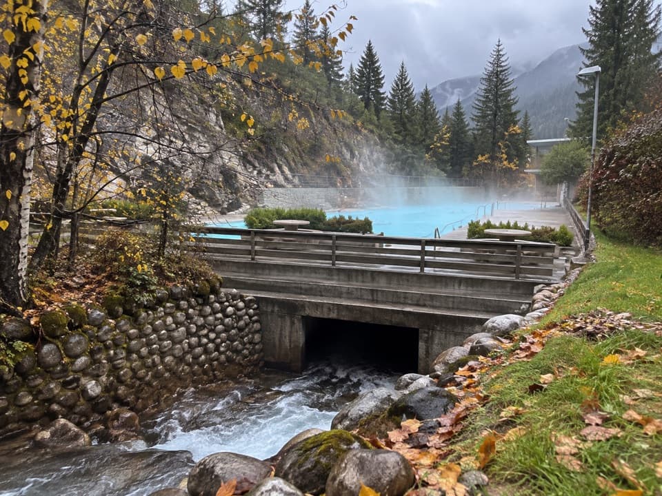
  1. 1Radium Hot SpringsSight
  2. 2Marble CanyonSight
  3. 3Paint PotsSight
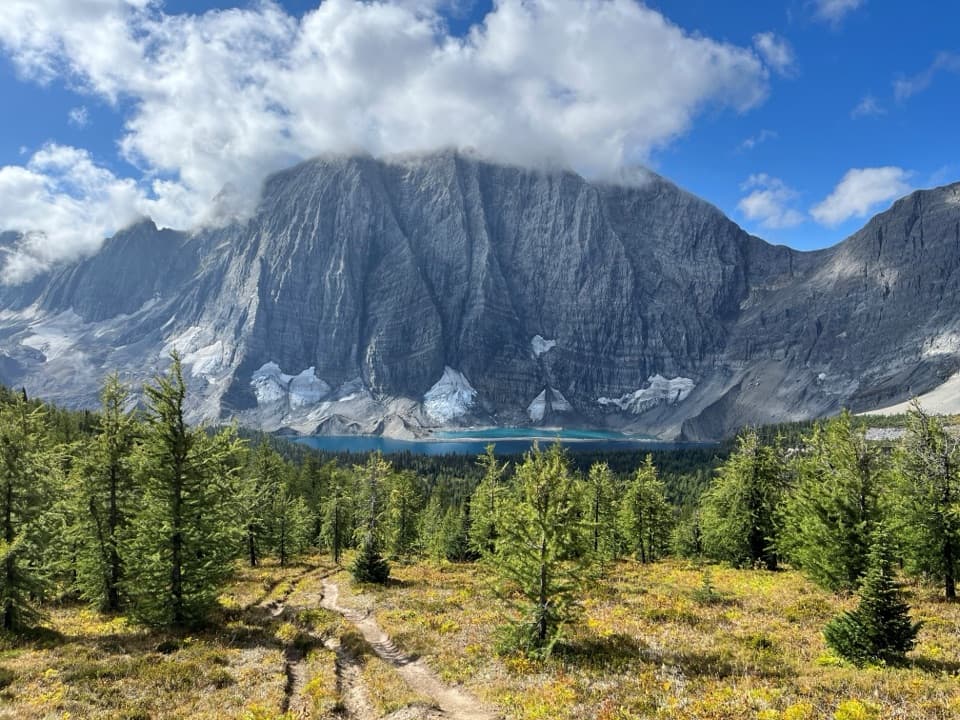
  4. 4Floe LakeSight
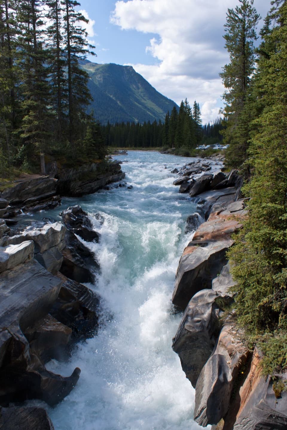
  5. 5Numa FallsSight
  6. 6Kootenay Valley ViewpointSight

Take Parkwolf to Kootenay.

The audio tour guide for the drive, plus offline maps, trails, and wildlife heatmaps for when the signal drops.

4.7 from 8,600+ ratings

Download Parkwolf on the App StoreGet Parkwolf on Google Play