Parking
Paint Pots parking lot is the road access. The route begins at Helmet/Ochre Junction backcountry campground, reached by the designated 5.8 km one-way Helmet Creek approach. Add that approach both ways if starting at the lot.
Kootenay National Park, BC
A faint backcountry route to open meadows below the pass.
Overview
Map & elevation
Plan your hike

The highest, rockiest slopes around here are a summer buffet for grizzly bears.
Kootenay Tour Guide
Parkwolf is a GPS audio tour guide for Kootenay National Park. As you drive, it chimes in with what’s ahead: hidden gems, upcoming stops, history, geology, and wildlife, right through your car’s speakers.
See the Kootenay audio tourMore stories near here in the app
“Fantastic app with many points of information… It’s great to just turn on while you’re driving and it gives you an audio tour of the national Park. We love it!!!!”


Trail guide
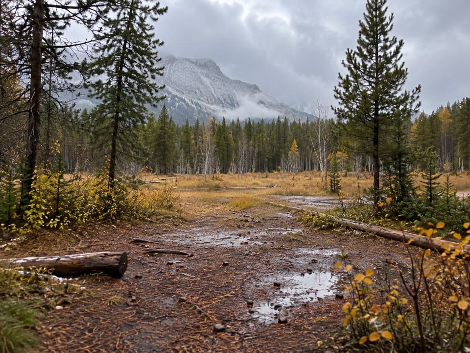
Ottertail Pass Trail is a 15.5 km (9.6 mi) out-and-back from Helmet/Ochre Junction campground, climbing about 540 m through forest to open alpine meadows below a wooded pass. Allow about six hours from camp. The old tread is faint, brushy and interrupted by deadfall, so route-finding is part of the outing. The saved route turns around at the pass; it does not continue north toward Ottertail Falls and the Yoho trailhead, a much longer through-route. The old spur's present access and maintenance status could not be established. Confirm public access with Parks Canada before leaving the designated Helmet Creek approach.
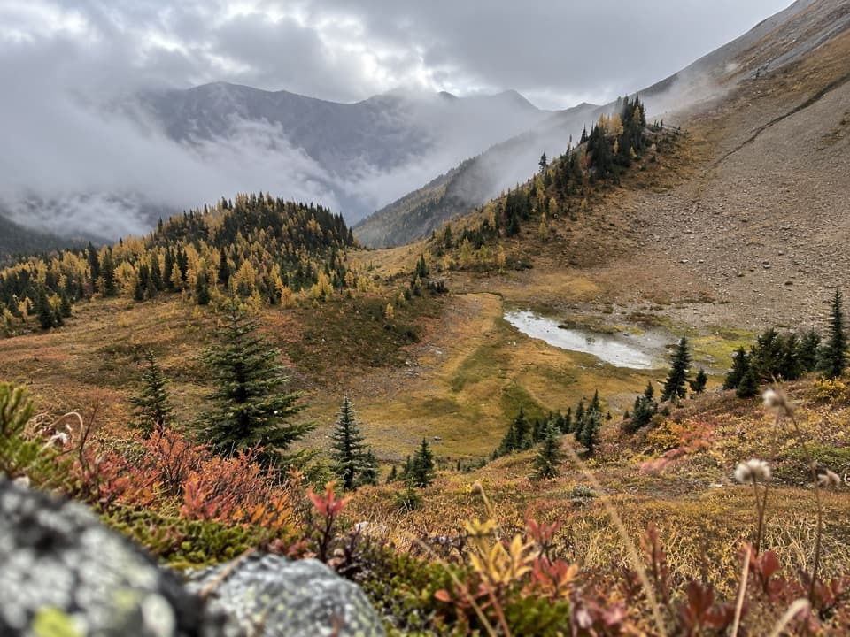
Pass the camp's bear lockers to find the historic route. Reports describe a rough, overgrown lower stretch that becomes clearer after the initial climb. A viewpoint before the meadows looks toward Helmet Falls; farther on, the forest opens into a broad alpine basin with streams and wildflowers. The pass itself is wooded, so the meadow and the view back toward the falls are the main rewards rather than a wide summit panorama. The abandoned camp west of the pass is decommissioned; do not count on it for an overnight stop.
Paint Pots is the road access. From there, the designated Helmet Creek approach climbs 5.8 km (3.6 mi) one way to Helmet/Ochre Junction campground. Add that 11.6 km (7.2 mi) round trip if starting from the lot, for about 27 km (16.8 mi) total and roughly four more hours of hiking. An overnight backcountry trip requires a permit, and camping is limited to authorized sites. Parks Canada's main backcountry season is June through October; higher routes can remain snowbound until late June. Pets are allowed in the backcountry but must stay leashed.
Wildlife
 41 sightingsGrizzly BearMost seen around 8 PMSighting map
 31 sightingsGray WolfMost seen around 8 PMSighting map
 22 sightingsMooseMost seen around 6 AMSighting map
 84 sightingsMountain GoatMost seen around 7 PMSighting map
 522 sightingsBighorn SheepMost seen around 7 AMSighting map
 65 sightingsElkMost seen around 6 AMSighting map
Sighting maps show where each species has been reported across Kootenay. Wildlife moves, so no sighting is guaranteed.
Keep exploring
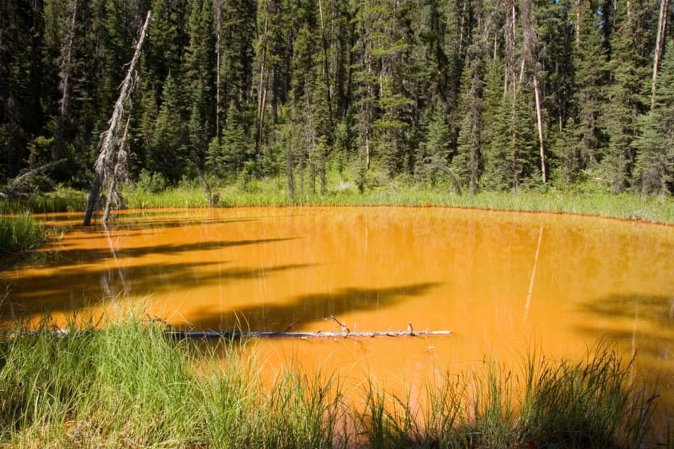 EasyPaint Pots Trail2 km · 45 min · 5.2 km awayCross the Vermilion River to three iron-rich springs.
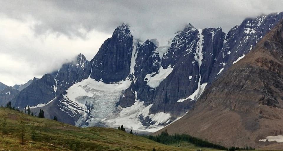 ChallengingTumbling-Floe Traverse37.7 km · 2.5 days · 5.2 km awayA two-to-three-day traverse from Paint Pots to Floe Lake.
 ChallengingHelmet Creek Trail28.4 km · 10 hr · 5.2 km awayA long hike from ochre springs to a 300 m waterfall.
 ChallengingTumbling Creek Trail20.4 km · 6 hr · 5.2 km awayA hard climb to Tumbling Falls and a gateway to the Rockwall.
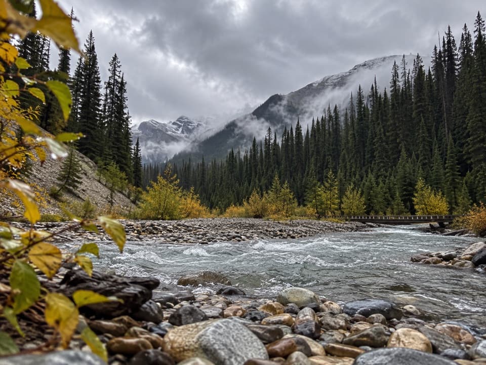 ModerateOchre Creek Trail12.4 km · 4 hr · 5.2 km awayA forested creek walk to the northern Rockwall campground.
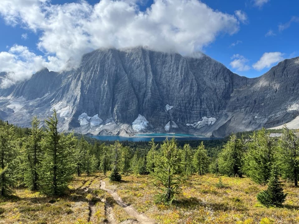 ChallengingRockwall Trail54.1 km · 4 days · 5.3 km awayThree passes, the Rockwall, and Floe Lake anchor an alpine traverse.ChallengingTumbling - Helmet - Ochre Loop36.9 km · 2.5 days · 5.3 km awayTwo or three days among alpine meadows, Helmet Falls and the Rockwall.
 ModerateTokumm Creek Trail8.6 km · 3.5 hr · 6.3 km awayA creekside wilderness route with no trail maintenance.
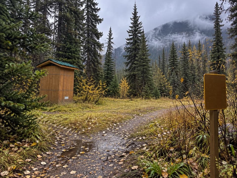 Campground · At the trailheadHelmet / Ochre Junction CampgroundA creekside backcountry camp at the Rockwall trail junction.
 Sight · 4.5 km awayPaint PotsThree iron-rich springs stain the ground a vivid ochre.
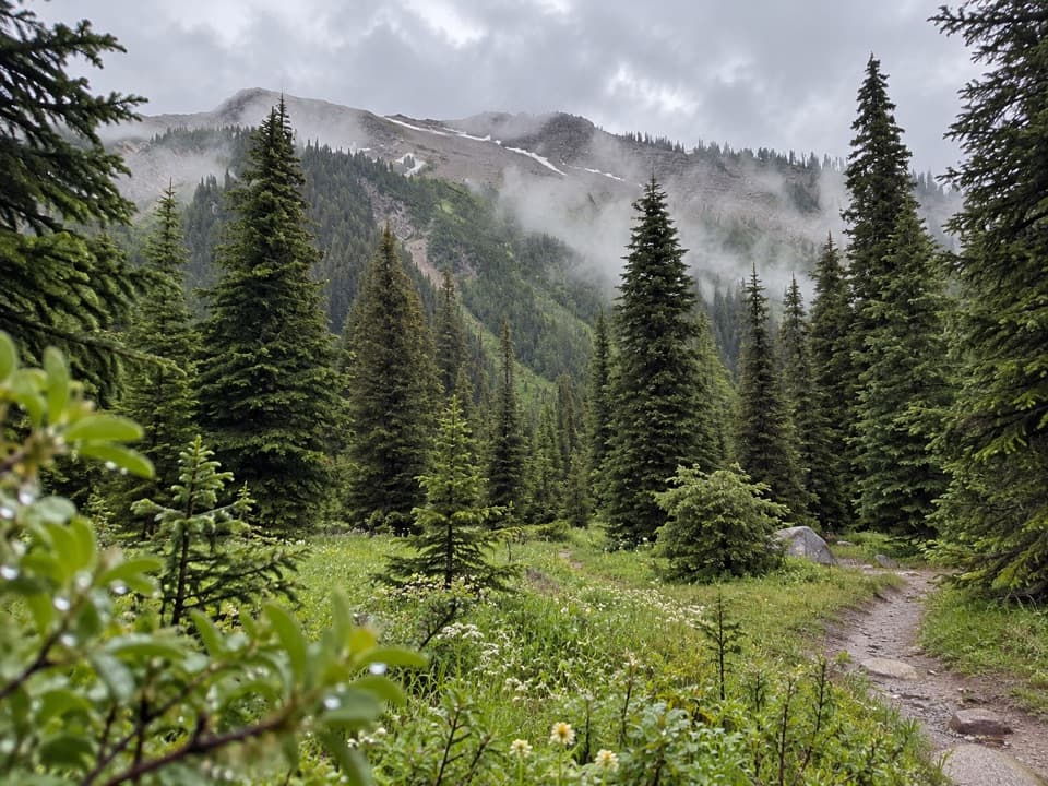 Campground · 6.1 km awayTumbling Creek CampgroundA useful northern camp for a full Rockwall backpacking traverse.
 Sight · 6.3 km awayMarble CanyonSeven bridges, blue water, and a waterfall on a short gorge walk.
 Campground · 6.4 km awayHelmet Falls CampgroundA remote tent camp with Helmet Falls in view.
 Campground · 6.6 km awayMarble Canyon CampgroundA basic campground in a spruce forest with no cell signal.
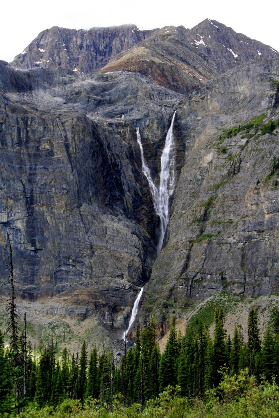 Sight · 7.8 km awayHelmet FallsA 300 m waterfall at the end of a 14.2 km hike.
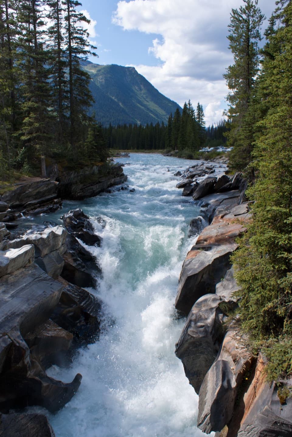 Sight · 8.8 km awayNuma FallsA short bridge walk reveals the Vermilion's sculpted canyon.
Parkwolf’s Kootenay ranking

The audio tour guide for the drive, plus offline maps, trails, and wildlife heatmaps for when the signal drops.