Challenging

Kindersley-Sinclair Loop

Big day loop with meadows, ridge views, and a steep finish.
Kindersley-Sinclair Loop, Kootenay National Park
Distance10.7 mi
Typical time7.5 hr
DifficultyChallenging
PetsAllowed

Overview

This is a demanding, full‑day loop linking the Kindersley Pass and Sinclair Creek trailheads, with varied scenery from dense forest and avalanche paths to alpine meadows and rocky ridges. The loop is about 10.7 miles (17.3 km) total and includes a short roadside segment along Highway 93S (about 1.2 km) to close the circuit if you don’t use a shuttle. Expect roughly 4,345 feet (1,325 m) of total elevation gain and loss, and plan on 6–8.5 hours depending on pace, conditions, and side detours.

Route, Terrain, and Direction

You can hike it either way. Going clockwise (Kindersley to Sinclair) gives a longer, more gradual climb through forest and glades to Kindersley Pass and the Kindersley–Sinclair col, then a steeper descent down the Sinclair side. Counterclockwise front‑loads the steeps. Near the col, short side jaunts to nearby bumps deliver big panoramas; one high point sports a small radio repeater and helipad. Underfoot, expect rough singletrack with sections that can feel washboarded after rain, some encroaching brush, and stretches with sparse trail markers.

Scenery and What to Watch For

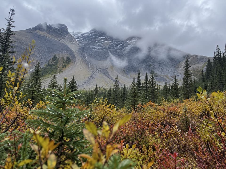
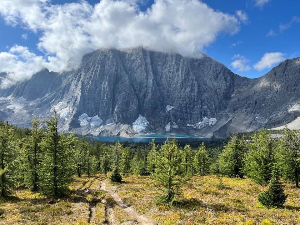
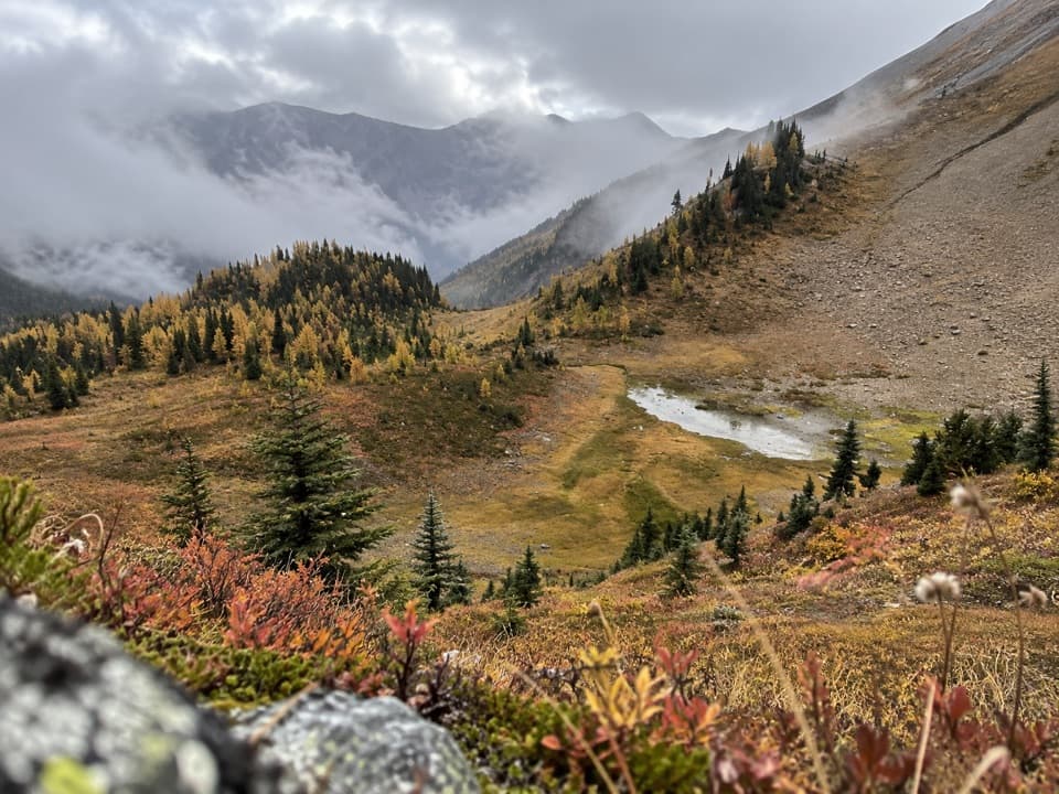
As you leave the trees, the trail opens to meadows and rocky ridges with sweeping views. In late July and early August, the alpine wildflowers can be excellent. On clear days, vistas from the high points above the col can include distant peaks like Mount Assiniboine. Wildlife is possible—moose have been seen near the pass—and this is active grizzly country.

Logistics and Safety

There are two trailheads: Kindersley Pass parking (about 12 km east of Radium Hot Springs) and Sinclair Creek parking (about 11 km east). A car shuttle between them lets you skip the roadside walk on Highway 93S. Parks Canada requires a minimum group size of four on this loop due to grizzly bear activity, with group members staying within 3 meters of each other. Keep dogs leashed, carry bear spray, and make noise. Weather can shift quickly at elevation; bring layers and a reliable offline map since vegetation can obscure the path and signage is limited.

Best Time to Hike

June through September is the prime season, with the most popular trip reports coming from mid‑summer. Aim for early starts on warm days, and expect cold wind or even brief pellets of snow at higher elevations even in August. Wildflowers typically peak from late July into early August. For a smoother grade, start on the Kindersley side; for a slightly higher‑elevation start, some hikers begin at Sinclair.

Is It Worth It?

Yes—if you’re up for a hard, varied day with big‑mountain feel and fewer crowds than the park’s marquee hikes. Come prepared for a steep descent on the Sinclair side, occasional overgrowth, and a short highway connection unless you shuttle. A valid Parks Canada entry pass is required for day use; no backcountry permit is needed unless you plan to camp.

Pros

  • Optional short side bumps near the col vastly expand the views.
  • Peak wildflower meadows in late July and early August.
  • Quieter feel than the park’s headline hikes.

Cons

  • Mandatory group of four due to grizzly activity limits solo or duo plans.
  • 1.2 km highway walk to close the loop without a shuttle.
  • Sections can be overgrown with sparse markers after mid‑season.

Parking

Two lots on Highway 93S: Kindersley Pass (≈12 km east of Radium Hot Springs) and Sinclair Creek (≈11 km east). Consider a car shuttle to avoid the roadside walk between trailheads.

Caution

Mandatory minimum group of four with members within 3 m due to grizzly bears. Steep grades on the Sinclair side, overgrown stretches with limited markers, and a short highway shoulder segment. Carry bear spray, keep dogs leashed, and prepare for rapid weather changes.

The Parkwolf tour guide sitting on a phone mounted in a car

Parkwolf Tour Guide

Like a tour guide in your car.

Bring Kootenay trail research into the car, with offline maps and stories that play as you drive.Download Parkwolf on the App Store