Overview
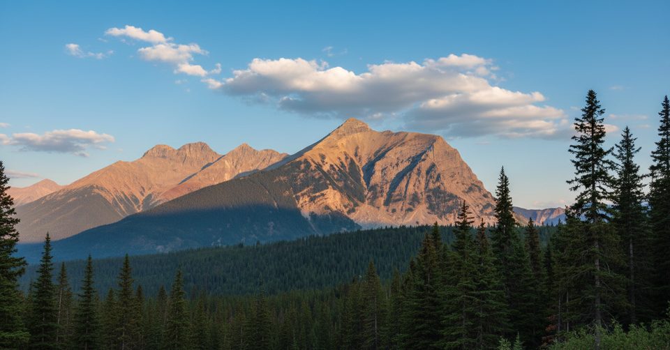
Mount Wardle is a serious scramble, not a casual hike. Earlier accounts called it moderate, but most recent reports emphasize demanding terrain, heavy bush on some lines, and short but consequential exposure near the summit. If you’re comfortable with Class 3–4 moves and big elevation in a short day, it’s a rewarding objective; otherwise, choose an easier peak.
Routes at a Glance
- Southwest Ridge: Historically popular but notorious for dense, unpleasant bushwhacking and a narrowing ridge with exposure near the top.
- Fuhrer Route (southeast line): The modern favorite for minimizing bush. It climbs a very steep, narrow gully to gain the lower SE ridge, then follows slabs and rubble to the upper ridge. Expect short, airy sections near the summit. Rated around SC6+ by one reporter.
What to Expect
- Stats (Fuhrer Route): ~2,815 m summit, ~1,610 m gain, ~10 km round trip, ~6 hours for a fast party.
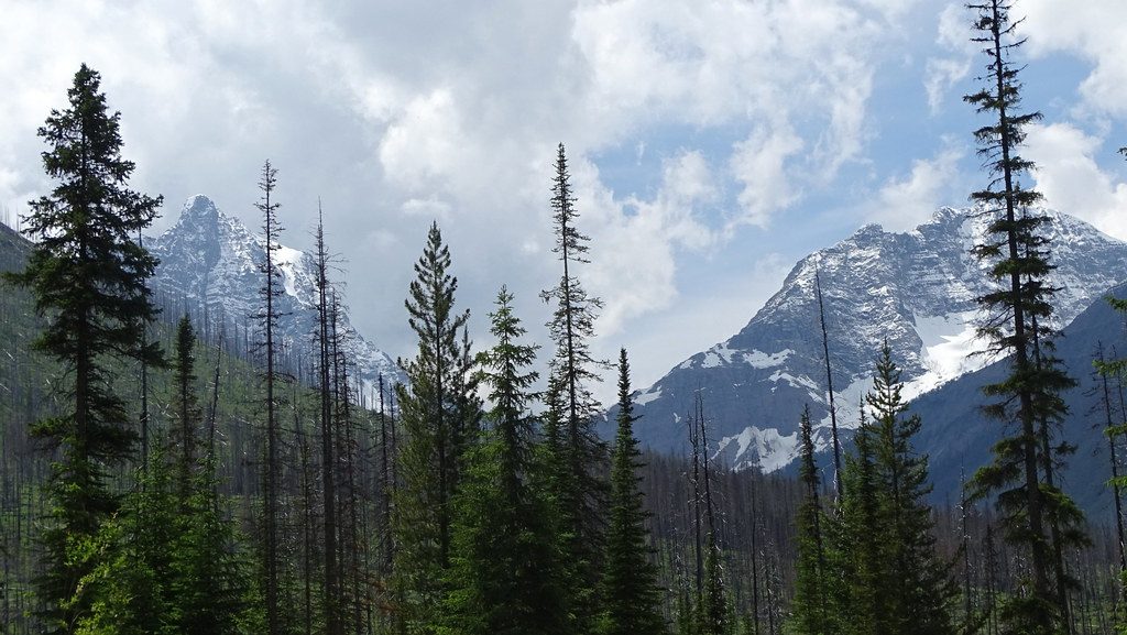
- Terrain: Steep gully start (helmet recommended for rockfall), grippy slabs/rubble, a mid‑mountain forested band, and an exposed upper ridge. Unique features include silvery shale along ridges and unusual alpine oddities noted in reports.
- Commitment: Little to no water en route; carry what you need. Careful routefinding keeps difficulties reasonable; cairns help on descent.
Hazards
- Exposure: The narrowing summit ridge has significant fall potential.
- Rockfall: Especially in the entry gully—keep spacing and wear a helmet.
- Weather: Thunderstorms can build; turn around early if clouds stack.
- Winter conditions: The steep SE line is serious avalanche terrain.
Logistics
- Start: Along Highway 93 (Banff–Radium). Do not park where “No Parking” signs are posted near the Wardle goat lick; use a legal pull‑out and walk back if needed.
- Facilities: There’s no dedicated trailhead or toilet at Mount Wardle. Use day‑use area outhouses along Highway 93S (generally open May to mid‑October; some remain open in winter). Expect no cellular or Wi‑Fi in the corridor; emergency roadside phones exist at a few signed locations in the park.
Best Time to Visit
- Season: Dry, snow‑free conditions are best. The south/southeast aspect gets hot—start early to beat the heat.
- Day/time: Early mornings offer cooler temps and more stable weather windows; plan to be off exposed ridges before afternoon buildups.
Who Will Love It (and Who Won’t)
Strong scramblers seeking a steep, direct line with just enough exposure to feel spicy will appreciate Mount Wardle. If bushwhacking, helmet time in a gully, and airy ridge walking don’t sound fun, skip it and choose a mellower outing.