
Place · 3.4 mi away
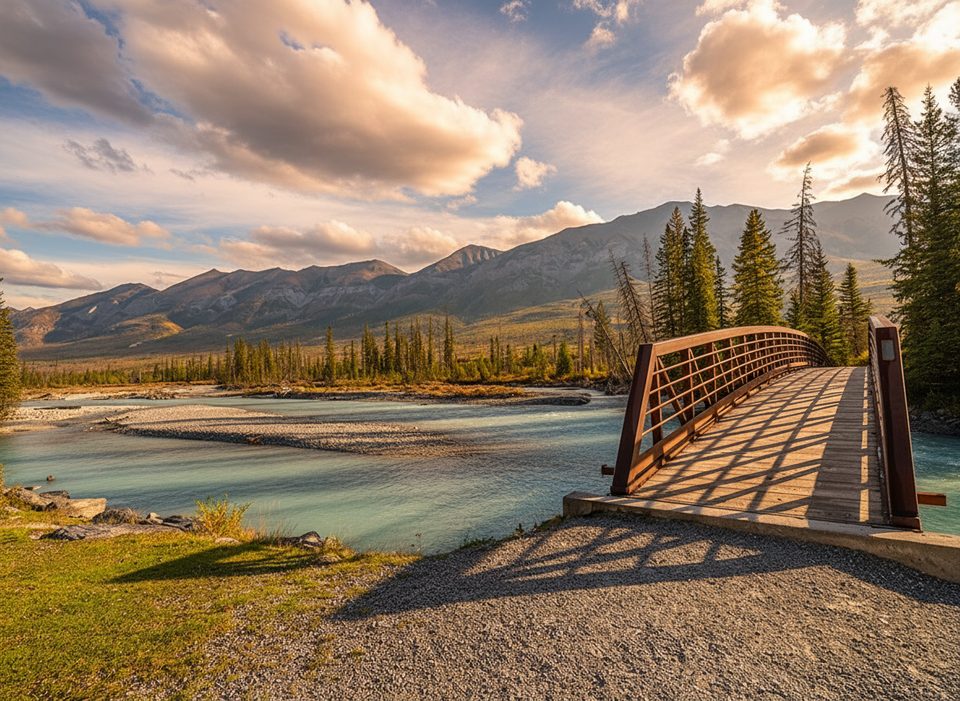
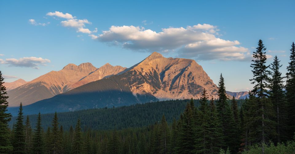
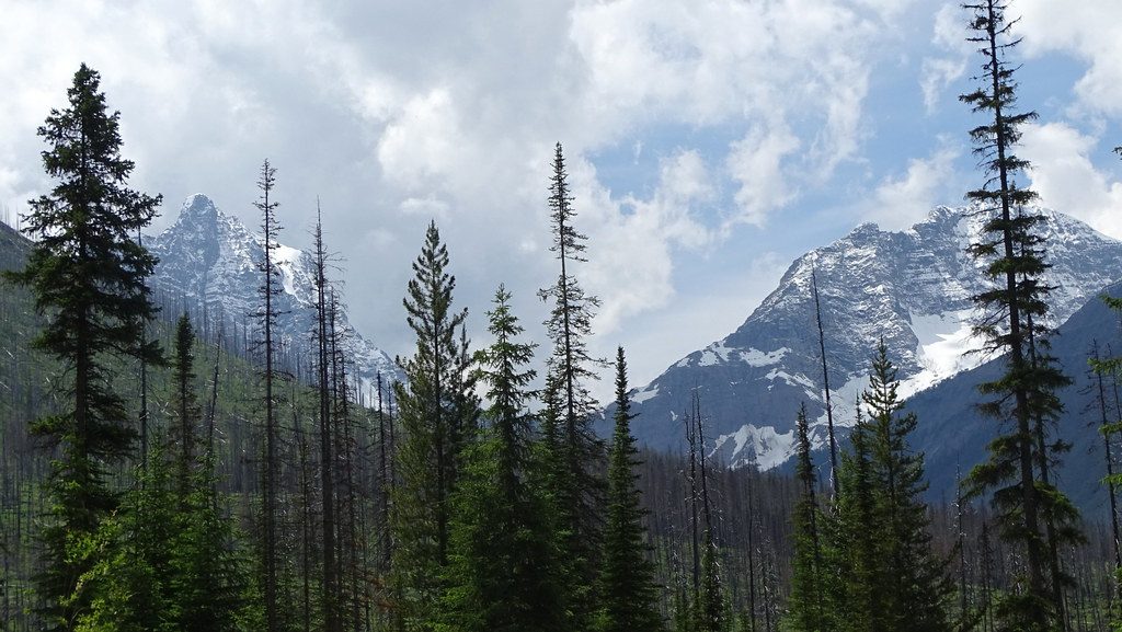
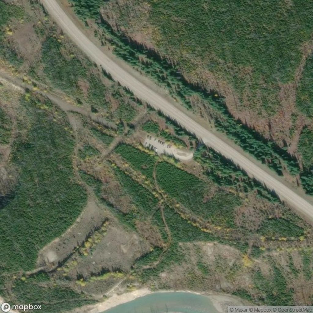
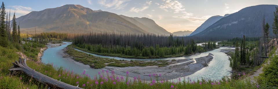
This highway‑side trailhead on 93 South launches you into a broad, fire‑marked valley with easy walking and quick rewards. The first stretch doubles as an interpretive trail with clear signage on lightning, wildfire, regeneration and succession—great context for the charred trunks and young forest you’ll be walking through. Views open toward the Simpson River and surrounding peaks, and there’s a popular red‑chairs viewpoint a short stroll from the start.
This valley is a living classroom of post‑fire ecology (the burn here dates to the early 2000s), so you get unusual sightlines through the forest and bursts of wildflowers in season. Early on, you’ll find boardwalk bits across marshy patches and a short climb to viewpoints over the river.
Parking is a simple highway pullout. Expect a seasonal outhouse (vault/dry toilet) rather than flush facilities. There’s an emergency phone here linked to Parks Canada dispatch, but otherwise assume no cell or Wi‑Fi service. No fuel or food is available inside the park; come prepared. Entry to national parks requires a valid pass.
Beyond the first 1.5 km, sections can be wet, brushy, and feel lightly traveled. Sturdy footwear is a must; after snow or in shoulder season, microspikes can be helpful on slick bits. Because of standing dead trees in burn areas, avoid windy days.
You’re near a three‑valley confluence, so keep an eye out for wildlife sign and give animals ample space. Carry bear spray and know how to use it.
Weekday mornings are reliably quiet; weekends late morning to early afternoon see more traffic. For photos, early or late day light skims the burned slopes nicely, and midday is best for the Simpson River’s color. The outhouse is typically available from about May to mid‑October; in winter, access and plowing can be variable.
Families and casual walkers will enjoy the interpretive loop and red‑chairs viewpoint; hikers looking for a mellow valley day can continue toward the boundary, and strong day‑trippers can push toward Surprise Creek into Mount Assiniboine Provincial Park.
Place · 3.4 mi away
Place · 3.5 mi away
Place · 3.5 mi away
Place · 8.5 mi away
Moderate · 0 mi away
Challenging · 8.5 mi away
Challenging · 8.5 mi away
Challenging · 8.5 mi away

Parkwolf Tour Guide
