Overview
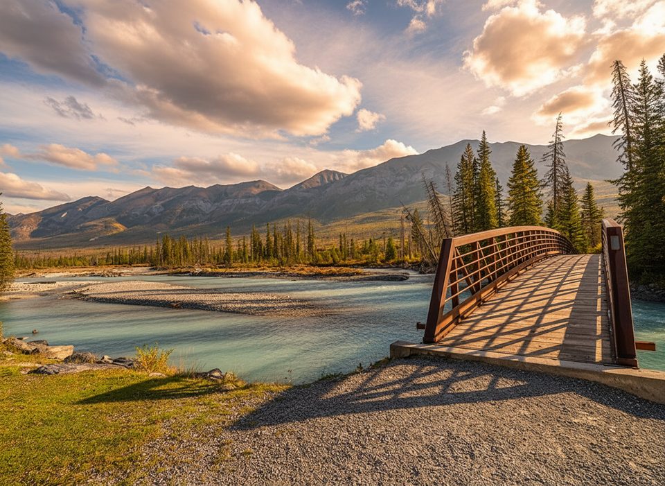
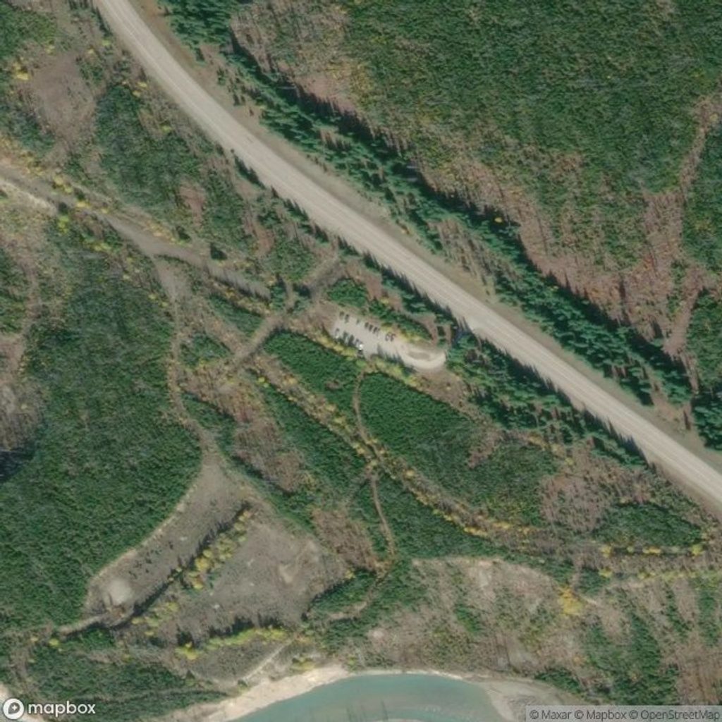
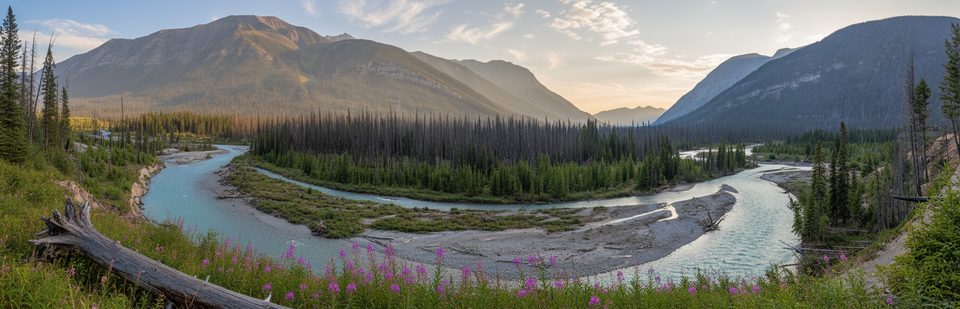
Vermilion Crossing is the park’s low‑key riverside pause on Highway 93S, tucked in the Vermilion River valley near Vermilion Pass. Think picnic spot and leg‑stretch, not a full service hub. It’s a natural midpoint on the drive, with quick access to some of Kootenay’s easiest crowd‑pleasers.
What You’ll Find
- Day‑use area right by the river with picnic tables and outhouse (dry) toilets.
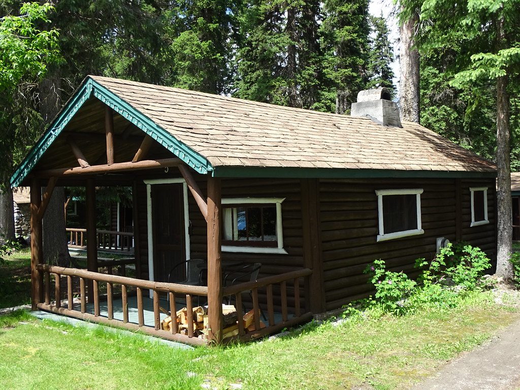
- Kootenay Park Lodge sits here seasonally with historic cabin lodging and a small store carrying snacks/drinks; offerings vary year to year and there’s no restaurant service.
Nearby Short Stops (minutes away)
- Paint Pots: a simple wander to iron‑rich springs and vivid ochre beds.
- Numa Falls: an easy walk to churning cascades.
- Marble Canyon: short bridges over a dramatic, narrow limestone gorge.
- Stanley Glacier trailhead (up-valley): gateway to guided Burgess Shale fossil outings and a solid half‑day hike.
Logistics That Matter
- There are no fuel stations or food services anywhere in the park—fill up and stock up in Radium Hot Springs, Invermere, or Banff/Castle Junction before you enter.
- Expect no cellular service along Highway 93S. Roadside emergency phones exist at several day‑use/operations sites along the highway, but not at the Crossing itself.
- Day‑use sites and outhouse toilets are generally open May to mid‑October; many remain accessible in winter, but lots and paths may be uncleared right after snow—access can be hit‑or‑miss.
- The nearest flush restrooms are at the Visitor Centre in the Village of Radium Hot Springs.
Geology & Sense of Place
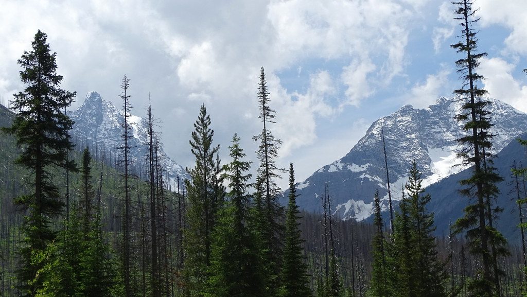
“Vermilion” isn’t a marketing flourish—the valley is influenced by iron‑oxide springs that color nearby soils, most famously at the Paint Pots. Up-valley, Stanley Glacier exposes Middle Cambrian rocks tied to the Burgess Shale story.
Best Time to Visit
- Late spring through early fall is easiest: facilities are serviced, days are long, and roads are clear.
- In winter and shoulder seasons (including November 21), expect winter driving and possibly unplowed pullouts; check current park bulletins and provincial road reports before setting out.
Bottom Line
Stop here if you want a simple riverside picnic and a launch point to quick nearby highlights. Treat it as a pleasant pause, not a destination.