Parking
Start at Simpson River parking lot on Highway 93 South, about 57 km east of Radium Hot Springs. Cross the Vermilion River footbridge from the lot to join the trail.
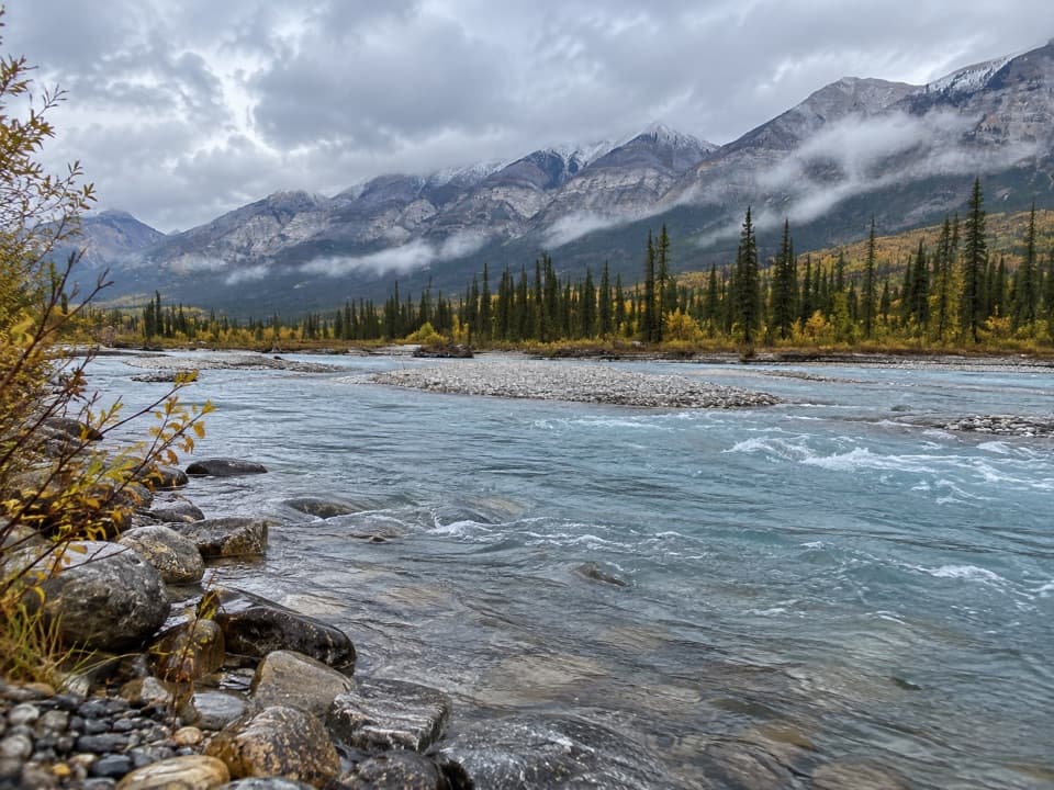
Kootenay National Park, BC
Wildfire recovery on two rivers, with an easy 1.6 km turnaround.
Overview
Map & elevation
Plan your hike

The highest, rockiest slopes around here are a summer buffet for grizzly bears.
Kootenay Tour Guide
Parkwolf is a GPS audio tour guide for Kootenay National Park. As you drive, it chimes in with what’s ahead: hidden gems, upcoming stops, history, geology, and wildlife, right through your car’s speakers.
See the Kootenay audio tourRecorded for this trailhead
Simpson River: Choose the Short Walk“You're approaching the Simpson River trailhead, where I'd choose the short interpretive walk for an hour outdoors.”
Plays as you drive up to this trailhead in the Parkwolf Kootenay Tour Guide.
More stories near here in the app
“Fantastic app with many points of information… It’s great to just turn on while you’re driving and it gives you an audio tour of the national Park. We love it!!!!”


Trail guide
Simpson River Trail is an out-and-back from the Simpson River parking lot on Highway 93 South. Follow it 8.8 km one way to the Kootenay boundary, then return for 17.6 km (10.9 miles); plan on about 5½ hours. The opening 1.6 km is the easy interpretive section, about an hour return. Turn around at its signs for a much shorter walk; the continuation to the boundary is rated moderate. The trail carries on into Mount Assiniboine Provincial Park, but that longer continuation is outside the distance here.
Cross the Vermilion River on the footbridge from the parking lot, then follow the trail toward the Simpson River. The first 1.6 km is gentle, with about 30 m of ascent and 25 m of descent. Its signs explain lightning, wildfire, regeneration and succession, so the short version still has something to follow beyond the river views.
Past the interpretive signs, the route continues another 7.2 km one way. It follows the river valley, though trees and bends hide the water for stretches. Low ground can be wet or swampy, with short boardwalks across soggier patches. The views open on parts of the walk to gravel bars, the recovering forest and mountain slopes; the boundary is the sensible turnaround for this Kootenay outing. Walking farther toward Surprise Creek is a separate, longer trip.
Burned trunks stand among young conifers, shrubs and open ground. The short section's signs explain the natural cycle of disturbance and regrowth; accounts of the walk also note red paintbrush and fireweed among the open areas. From the bluffs above the river, look back over the gravel bars with the mountain slopes beyond. That view is strongest with a little river in the foreground, which shows how wide the valley is.
The trailhead is the Simpson River parking lot, about 57 km east of Radium Hot Springs. Dogs are allowed on leash. The easy rating and one-hour estimate apply only to the interpretive stretch; the boundary route is a long return day, with a moderate extension beyond the signs.
Wildlife
 41 sightingsGrizzly BearMost seen around 8 PMSighting map
 31 sightingsGray WolfMost seen around 8 PMSighting map
 22 sightingsMooseMost seen around 6 AMSighting map
 84 sightingsMountain GoatMost seen around 7 PMSighting map
 522 sightingsBighorn SheepMost seen around 7 AMSighting map
 65 sightingsElkMost seen around 6 AMSighting map
Sighting maps show where each species has been reported across Kootenay. Wildlife moves, so no sighting is guaranteed.
Keep exploring
 ModerateWest Kootenay Trail20.3 km · 7 hr · 12.7 km awayA nearly level old fire road reaches Kootenay’s western edge.
 ChallengingBall Pass17.8 km · 7 hr · 13.6 km awayA hard climb to a high pass, glacier views and a meadow
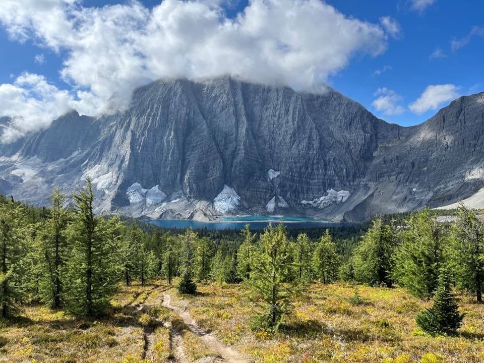 ChallengingFloe Lake21.6 km · 8 hr · 13.6 km awayA long climb pays off at a turquoise lake under the Rockwall.
 ModerateNuma Pass Trail5.5 km · 2.5 hr · 15.6 km awayA short climb to an open saddle high above Floe Lake.
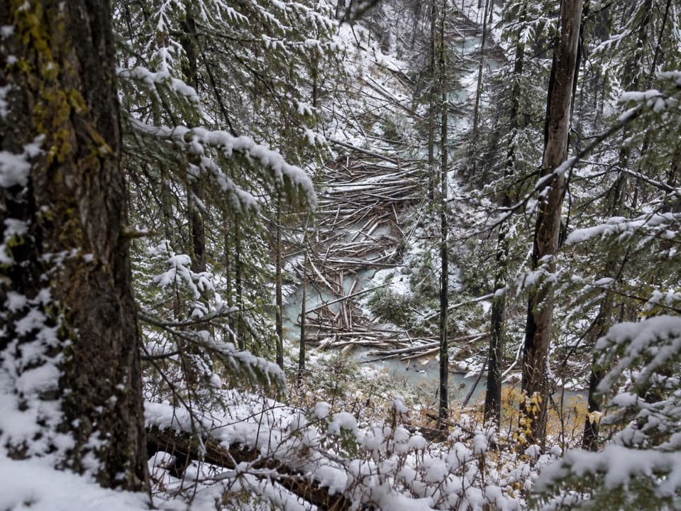 ModerateNuma Creek Trail12.8 km · 4 hr · 21.5 km awayA shaded creekside approach to the Rockwall's Numa Creek camp.
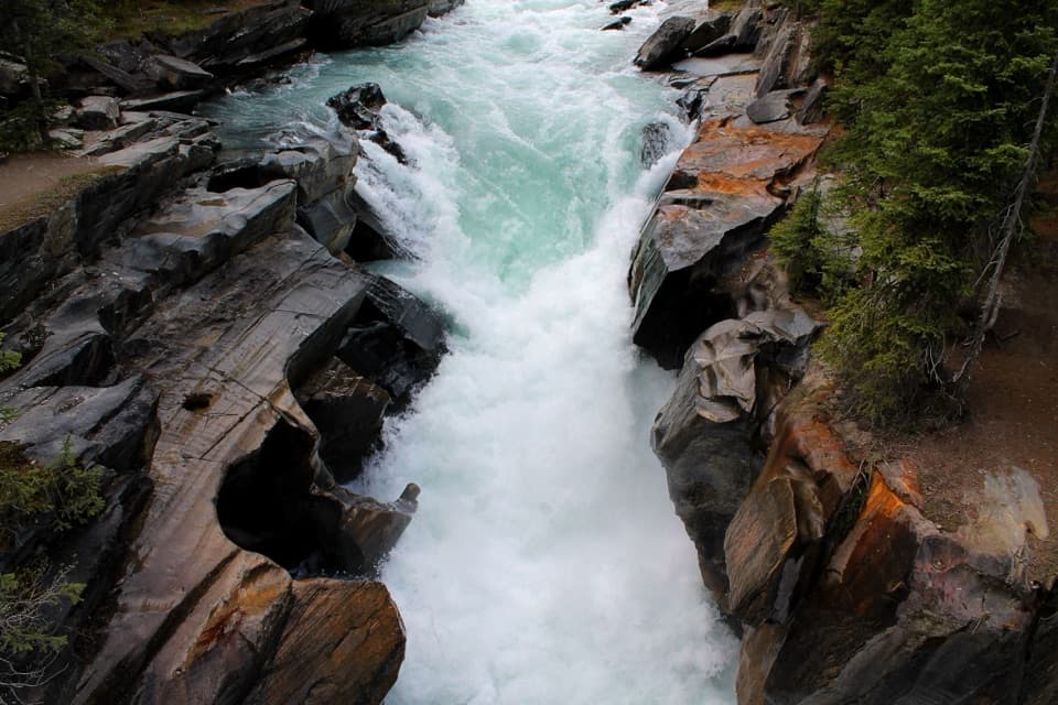 EasyNuma Falls Trail0.5 km · 20 min · 21.6 km awayA quick stop where the Vermilion squeezes through sculpted limestone.
 ModerateDog Lake Loop7 km · 2.5 hr · 23.7 km awayTwo Kootenay River bridges lead through old growth to Dog Lake.
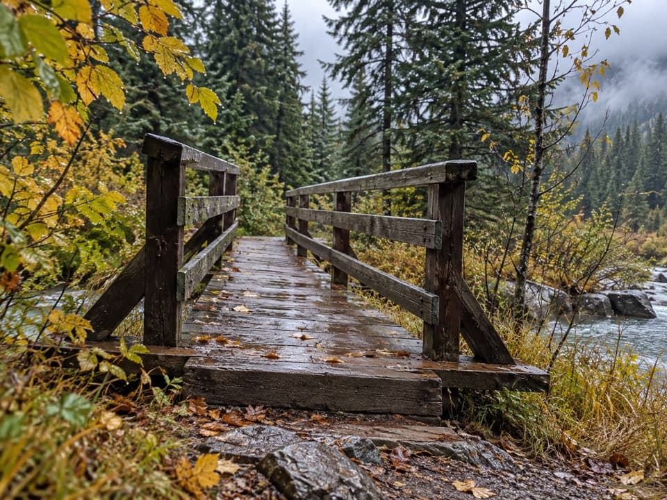 ModerateEast Kootenay Trail14.4 km · 4.5 hr · 23.8 km awayAn easy fire road to Daer Creek with two river bridges.
 Historic marker · 0.7 km awaySir George Simpson MonumentA quick river-view break with a Hudson’s Bay Company story.
 Picnic area · 5.9 km awayVermilion Crossing Day-use AreaA picnic break beside the Vermilion River
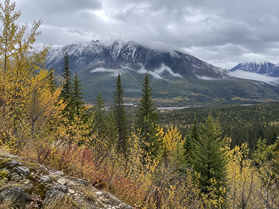 Scenic pullout · 9.5 km awayHector Gorge ViewpointA roadside view over the Kootenay River gorge.Sight · 15.6 km awayFloe LakeA full-day climb to a turquoise lake under the Rockwall.
 Campground · 15.6 km awayFloe Lake CampgroundA lakeside backcountry camp at the southern end of the Rockwall.
Parkwolf’s Kootenay ranking

The audio tour guide for the drive, plus offline maps, trails, and wildlife heatmaps for when the signal drops.